
Every organization we link to: local tourism offices, the state and federal agencies that manage the land, the nonprofits and clubs that keep access open, and the universities doing the research.
West Virginia has roughly 1.5 million acres of public land and a handful of places that carry almost all of the attention. The consequence is that a great deal of very good ground sits nearly empty, usually for one of three reasons: nobody has heard of it, the road in is gated or rough, or it is undeveloped and has nothing to advertise. Those are the places below — of them across regions.
Almost Heaven Swings
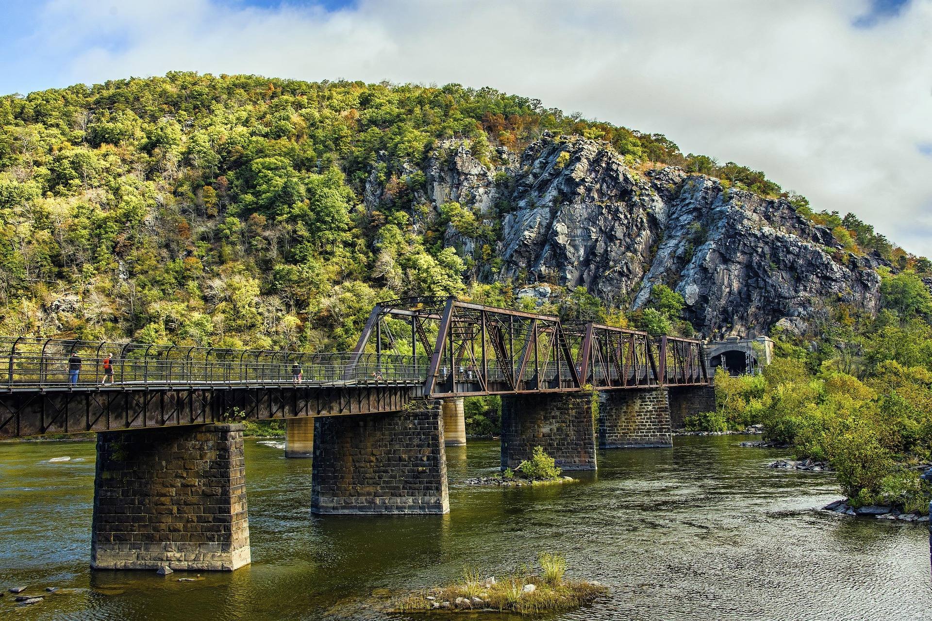
The Cacapon's smallmouth water
Cacapon River fishing for smallmouth is the main event in this corner of West Virginia. The river's published fishery is smallmouth, the water is clear, and the rating is Class I–II from top to bottom — which in fishing terms means a boat you can move around in and a current that lets you work a bank instead of fighting to hold position. The Cacapon runs warm and shallow through farmland and forest, and it is the sort of river people fish by drifting and casting rather than anchoring and waiting for something to happen.
Clear water over limestone changes how you fish it. Streams in the Eastern Panhandle run over limestone rather than the sandstone under the Highlands, so they run clear rather than tea-colored, and fish that can see you behave accordingly. Longer casts and quieter approaches matter more here than on a stained river. The other consequence is that you can read the structure — the ledges, the gravel, the deeper pools between shallow runs — from the boat rather than guessing at what is under the surface. Cacapon River fishing for smallmouth rewards that kind of reading of the water, and it is the argument for a boat over waders on most of the river.
Where you get on the water
Access is the whole planning problem for Cacapon River fishing. Six access points are named on the river and two of them are businesses or crossings rather than public facilities. No published confirmation exists that Stoney Creek Store or Cacapon Crossing are public access sites with parking, so ask before you build a day around either. Friends of the Cacapon River maintains access and publishes access information for the system, and that is the source to work from rather than a general road map. Two of six is a high proportion, and it is why a plan here starts with access rather than with a map of the river.
Much of the bank is private, so wading up a promising run from a bridge is not automatically welcome or legal. The named reaches run from the top down: Capon Lake to Capon Bridge, Capon Bridge at US 50 to the WV 127 bridge at Bloomery, then on through Cacapon Crossing, Largent and Fishers Ford. Distances and float times are not published for individual sites, which means a fishing float here is planned around access points and daylight rather than around a mileage figure. Daylight is the real constraint on a slow river, because the current will not hurry you toward the take-out.
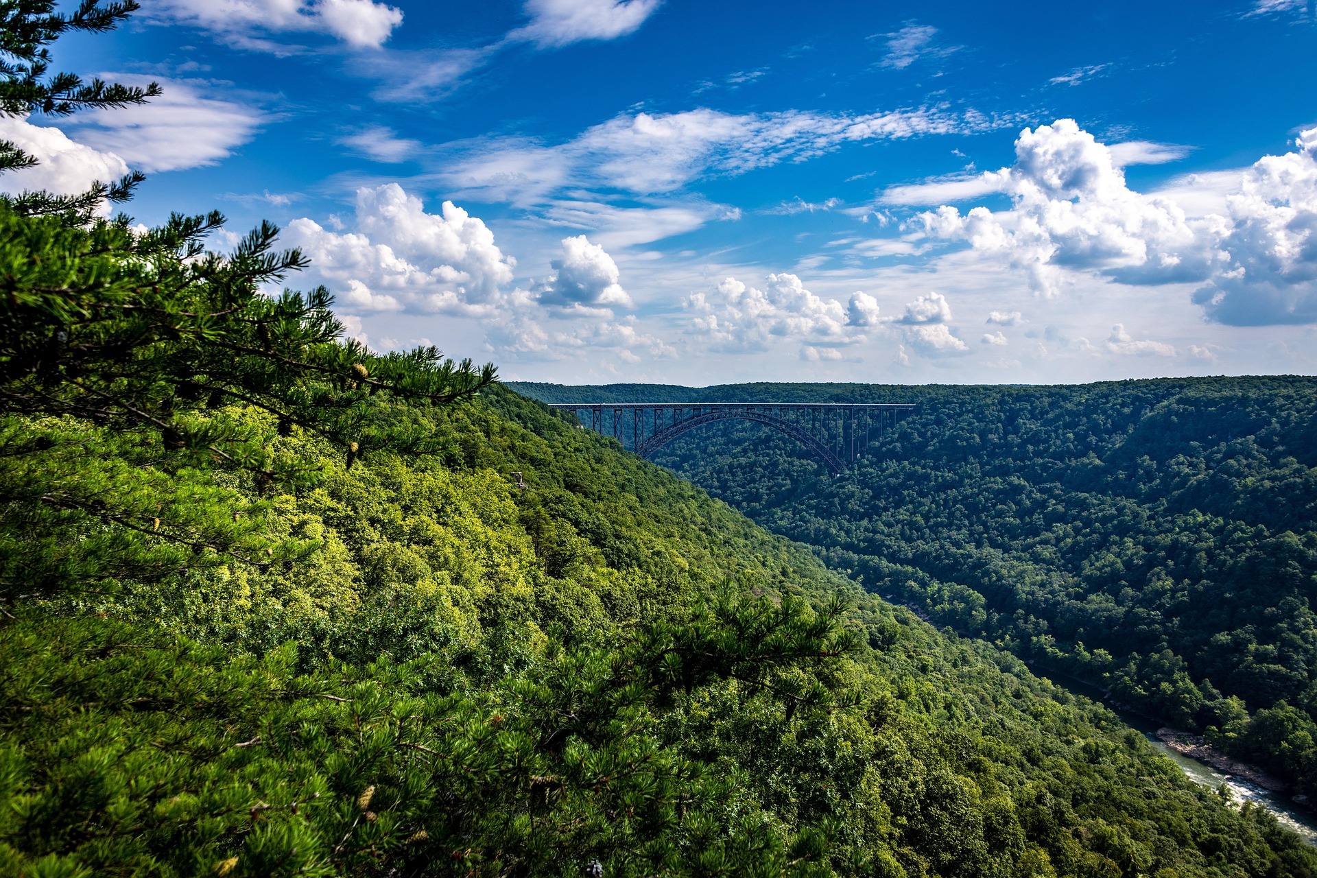
The Lost River, and what is published about it
The Lost River is the Cacapon's upper river under another name. It sinks underground, dropping off sharply near Baker, and re-emerges downstream as the Cacapon. Lost River State Park covers 3,712 acres in Hardy County and lists fishing among its activities, but no fishery, species or stocking detail is published for the park's water in the records available here. If you are going specifically to fish the Lost River, get the current WVDNR regulations rather than assuming it fishes the way the Cacapon does. The park sits at the head of the system, so what happens to the water there shows up downstream on the Cacapon.
The disappearing reach is not a technicality for an angler. A river that goes underground has stretches that are dry channel in low water and running river after rain, which makes fixed spots less reliable than they are on the Cacapon's main stem. Limestone country behaves like that generally in this part of the state, and the sinkhole pond at Trout Pond Recreation Area is the same geology expressed as still water instead of a vanishing river. Ask locally before you drive to a spot somebody described to you last year, because the river may not be there.
Stocked trout, close by
Two small lakes at Cacapon Resort State Park are stocked with trout each spring, which turns a spring visit into a two-activity day rather than a hiking day with a rod left in the car. A trout stamp is required in addition to a fishing license for stocked trout waters in West Virginia, and that is the requirement people most often get wrong. The park sits on over 6,000 acres at Berkeley Springs, so the fishing there comes with trails and a lake beach attached. Spring is the window, because the lakes are small and small stocked water fishes best soon after the truck has been.
Trout Pond Recreation Area in Hardy County holds native brook trout in the only natural lake in West Virginia — a one-acre sinkhole pond with no vessels allowed, so it is fished from the bank. Rock Cliff Lake next to it is 12 acres, man-made, and takes electric motors only. Day use there is $8 per vehicle and runs April to December. It is managed by the Lee Ranger District of the George Washington and Jefferson National Forests rather than the Monongahela, which is where to look for anything current.
Licenses, stamps and stocking information
WVDNR administers licensing and regulations and runs one of the most extensive trout stocking programs in the East. Two features of that program change how you plan a trip. A trout stamp is required in addition to a fishing license on stocked trout waters. And WVDNR posts each day's stockings by the end of that business day and does not release the schedule in advance — so arriving on the morning of a stocking is not something you can arrange. You check what happened yesterday and drive to it. It is a better system than it sounds, because it tells you exactly where fish went yesterday.
West Virginia fishing runs year-round at all levels, and the state's water divides fairly cleanly: trout in the cold mountain water, smallmouth in the warm rivers, largemouth and muskie in the reservoirs, walleye and catfish on the big rivers. The Eastern Panhandle is warm-river country, which is why smallmouth is the fishery that defines it, with stocked trout in the small impoundments as the seasonal exception rather than the rule. That division is why a trip here wants a different tackle box from a trip to the Highlands, and why the trout stamp question comes up at all.
Cacapon River fishing for smallmouth in June
June is the month to do this. The water is warm, the spring flows have dropped, and the river has not yet gone shallow enough to turn a float into a walk. Late summer is when Cacapon plans fall apart — low water means dragging through shallow sections, and a fishing float becomes an exercise in carrying a boat between pools. Check levels before you set a shuttle and be ready to fish a shorter reach than the one you planned on the drive out. A shorter reach fished properly beats a long float spent carrying the boat.
One other piece of water is worth the drive if the river is low. Sleepy Creek Lake covers 205 acres inside the 22,928-acre Sleepy Creek Wildlife Management Area, where fishing is a listed use alongside hunting. The roads in are gravel and can be rough, which is the practical limit on what you tow up there. In autumn you want blaze orange on that ground because it is heavily hunted; in June the gravel is the only thing to plan around. Primitive camping is permitted there at designated areas, which makes an early start easier than a drive up the mountain in the dark.
Reach people planning this trip
Placement alongside guides for outfitters, guides, shops and lodging.
List your business hereQuestions
What fish are in the Cacapon River?
Do I need a trout stamp to fish in West Virginia?
Where can you fish for trout in the Eastern Panhandle?
Does WVDNR publish its stocking schedule in advance?
When is the Cacapon too low to fish from a boat?
Is there still-water fishing nearby?
Read next
 Best of · Eastern Panhandle
The Best Hikes at Harpers Ferry
Every Harpers Ferry hike with official NPS distances and elevation gain: Maryland Heights, Loudoun Heights, Jefferson Rock, plus current closures.
8 min read Destination · Eastern Panhandle
Things to Do in Harpers Ferry
A guide to Harpers Ferry, West Virginia: the historic Lower Town, the best hikes and overlooks, tubing and rafting, the Appalachian Trail and where to start.
8 min read Best of · Eastern Panhandle
The Best Hiking Trails in Berkeley Springs
Trail by trail on Cacapon Mountain and Sleepy Creek Mountain: the four mileages the state park publishes, the drive-up views, and what nobody publishes.
8 min read · October