
Every organization we link to: local tourism offices, the state and federal agencies that manage the land, the nonprofits and clubs that keep access open, and the universities doing the research.
West Virginia has roughly 1.5 million acres of public land and a handful of places that carry almost all of the attention. The consequence is that a great deal of very good ground sits nearly empty, usually for one of three reasons: nobody has heard of it, the road in is gated or rough, or it is undeveloped and has nothing to advertise. Those are the places below — of them across regions.
Almost Heaven Swings
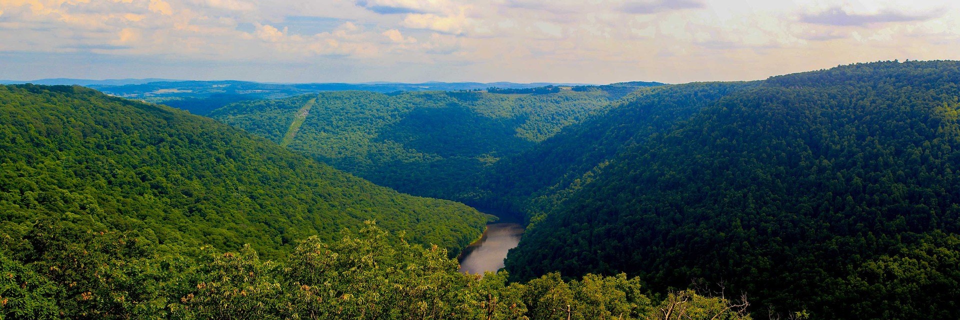
Eleven miles below Albright
The canyon run begins below Albright and covers roughly eleven miles of gorge. It is one of the classic big-water runs of the East, and the reason is the combination: sustained Class IV-V water inside a gorge remote enough that the river is the only sensible way through it.
That remoteness is the part worth sitting with before you commit. This is not a stretch where a bad swim ends with a short scramble to a road. Eleven miles is a long way to carry a problem, and the record describes the gorge as one you do not walk out of easily.
The difficulty numbers on this river move with the water, which is why you will see it described two ways. The regional listing puts the canyon at Class III-V across its range of flows; at high water the eleven miles read Class IV-V. Both are describing the same rapids at different levels.
No dam, no schedule
There is no release to plan around. The Cheat Canyon runs on rain and snowmelt, full stop, which makes the season short, unpredictable, and concentrated in spring when snowmelt and wet weather overlap.
This changes how you plan. A dam-released river lets you pick a date months out and expect water on it. Here the water decides, and the honest approach is to keep the trip loose, watch the weather in the basin, and be ready to move on short notice.
The site does not publish the levels that make the canyon go, or a threshold above which it becomes too much. If you need real numbers before you drive, ask Friends of the Cheat at cheat.org or a commercial outfitter running the canyon what gauge readings they work from.
Big Nasty, Coliseum, Pete Morgan
Three of the named rapids in the canyon are Big Nasty, Coliseum and Pete Morgan. Those names carry weight among Eastern boaters, and they are the landmarks paddlers use to talk about the run.
Beyond those three, this site holds no full rapid inventory for the canyon and no individual grade for each drop. If you want a rapid-by-rapid breakdown before your first descent, that comes from a current guidebook, a paddler who has run it recently, or an outfitter, not from here.
What matters more than a list is that the run changes character dramatically with flow. Watch the level at Albright, because the same named rapid is a different problem at different heights, and knowledge from one trip does not automatically transfer to the next.
The Narrows, when the canyon is more than you want
Above the canyon, the Cheat Narrows carries much easier water at Class II-III. That is a genuinely different trip, not a warmup for the same one, and it is the answer for a group whose skills or nerve do not match Class IV-V.
It is also the stretch to look at if you want moving water without the commitment of a remote gorge. Easier grades and a less isolated corridor change the risk calculation on a day when the forecast is uncertain.
Mileage and access points for the Narrows are not published in this record. Ask Friends of the Cheat or the outfitters working the river which put-ins and take-outs are in use before you plan a shuttle around it.
A river brought back from acid mine drainage
Through the twentieth century the Cheat was severely degraded by acid mine drainage. The recovery since the 1990s came out of remediation work led by Friends of the Cheat, and it is one of the great restoration stories in Appalachia.
The work is ongoing rather than finished. Deckers Creek, in the same northern counties, has been through a similar restoration process. If you paddle this water, you are using the result of a long and unglamorous effort by people who are still at it.
Cheat Fest each spring is the river community's annual gathering, and it is the most direct way to meet the people doing the work. The record gives no date, location or ticket detail for it. Check cheat.org, and ask the group what they need in whatever season you are around.
Fishing water on a recovered river
Fishing the Cheat is a subject at all because of the cleanup. Before the remediation there was little to discuss here, and the recovery is what put this river back on an angler's map.
The canyon itself is a poor place to start. Eleven remote miles of Class IV-V mean access is a boating problem before it is an angling one, and the skills that get you down it are not fishing skills. The Narrows upstream is far easier water to work.
This site publishes nothing about what swims in either stretch, and nothing about stocking. Check current West Virginia Division of Natural Resources regulations and stocking listings for the Cheat before you build a trip around fish.
Building a trip around uncertain water
The canyon sits in Mountaineer Country, the northern counties around Morgantown, which helps when the river does not cooperate. The Mon River Rail-Trail System runs more than 48 miles, and the Mountaineer Trail Network is still growing, so a blown-out or bone-dry weekend has somewhere to go.
Treat those as the fallback plan rather than an afterthought. Given how unpredictable the flow is, the trips that work here tend to be the ones with a second itinerary already in place.
This record carries no drive times, no lodging, no campground and no shuttle information for the canyon. For access, parking and any permitting question, go to the outfitters running commercial spring trips and to Friends of the Cheat, who know the corridor better than any map will tell you.
Reach people planning this trip
Placement alongside guides for outfitters, guides, shops and lodging.
List your business hereQuestions
when can you raft the cheat canyon?
how long is the cheat canyon run?
how difficult is the cheat canyon?
is there easier whitewater on the cheat river?
Read next
 Guide · Mountaineer Country
Rafting the Cheat River Canyon
Where the Cheat Canyon run begins and ends, why its class rating differs by which page you read, when it has water, and what camping costs.
7 min read · April
Destination · Mountaineer Country
Things to Do Outdoors in Morgantown, West Virginia
A survey of what a Morgantown base actually reaches: 48 miles of rail-trail, a 12,747-acre forest, Cheat Lake, new singletrack and the Cheat itself.
9 min read Guide · Mountaineer Country
The Mon River Rail-Trail System: A Complete Guide
How three trails make 48 miles of crushed limestone: the Caperton riverfront, the run north to Pennsylvania, and the 19-mile Deckers Creek climb.
8 min read · May