
Every organization we link to: local tourism offices, the state and federal agencies that manage the land, the nonprofits and clubs that keep access open, and the universities doing the research.
West Virginia has roughly 1.5 million acres of public land and a handful of places that carry almost all of the attention. The consequence is that a great deal of very good ground sits nearly empty, usually for one of three reasons: nobody has heard of it, the road in is gated or rough, or it is undeveloped and has nothing to advertise. Those are the places below — of them across regions.
Almost Heaven Swings
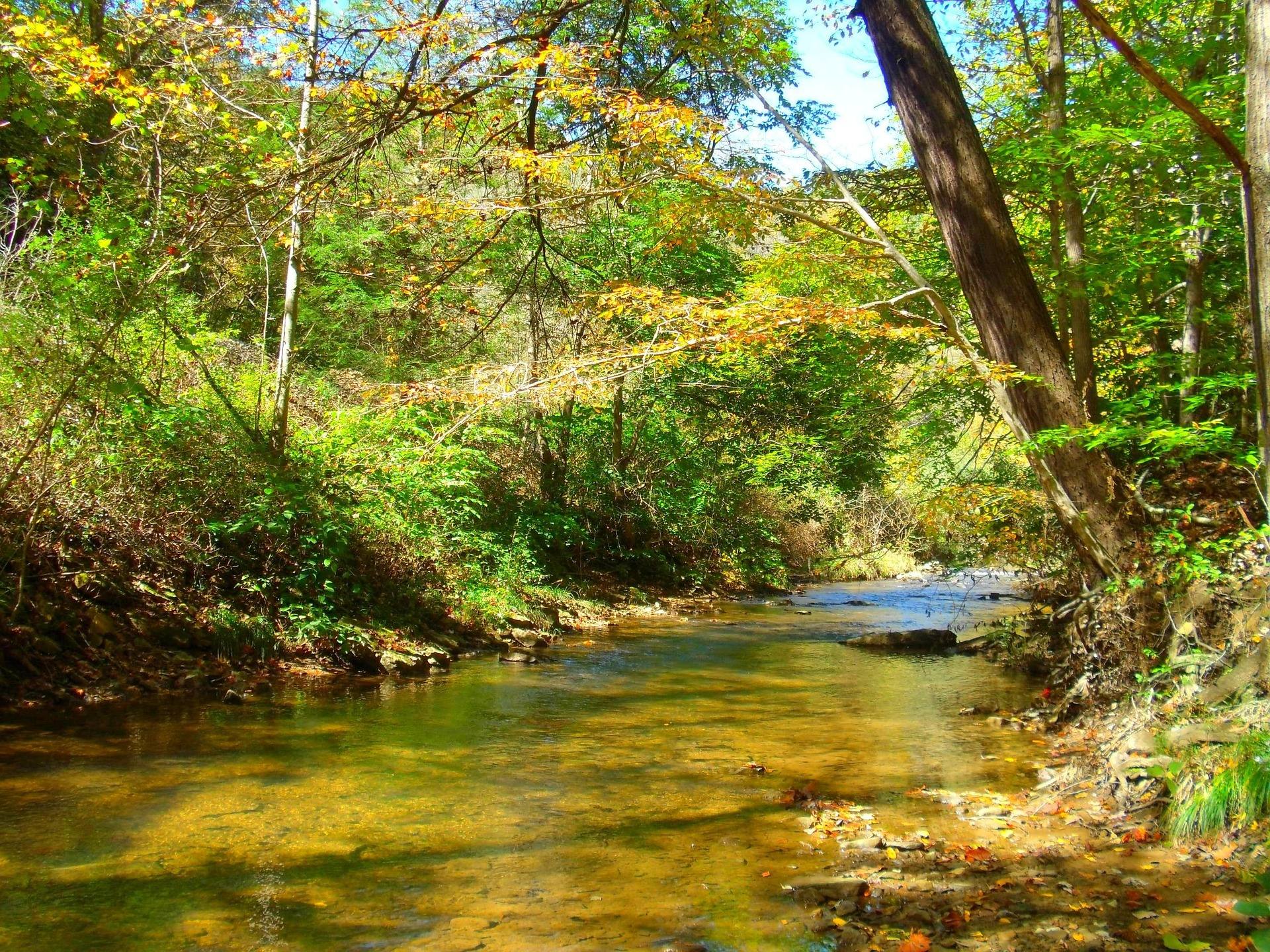
Ten miles of gorge and one trail through it
The Bluestone National Scenic River protects ten miles of river in a deep, wooded gorge between Bluestone Lake and Pipestem. The Bluestone Turnpike Trail runs the length of the gorge. That is the hiking here: one corridor, end to end, rather than a network of loops off a parking lot.
No road follows the gorge. That single fact governs every decision about a day on the Turnpike Trail. You walk in and back out the way you came, arrange to be met at the far end, or use the tram.
Getting down to the river
Three ways in appear in this record: trail from Pipestem, trail from Bluestone State Park, or the Pipestem tram down. Two of them charge you a descent on the way in and the same climb on the way out. The tram is a machine, which means it runs on somebody's schedule.
Approach trail lengths, the tram's hours and operating season, and which access points are currently usable are not published in what this site knows. The National Park Service is the office to ask, and the answer carries more weight than usual when the only exit from the bottom is uphill.
Planning a linear walk
A ten-mile corridor with one trail down it gives you three shapes of day: an out-and-back to a turnaround you pick, a full traverse with a shuttle waiting, or a descent and return by tram if the tram is running when you are there.
Low visitation is both the reason to come and the reason to be careful. Fewer people means quieter miles and no queue at a trailhead. It also means less margin if you roll an ankle five miles in. Carry water, a light, and the working assumption that nobody is walking up behind you.
Decide your turnaround before you start walking rather than after you get tired, and set it by the clock instead of by how good the trail looks. A gorge takes light away early on both walls, and the climb out of one is slower than the walk in was.
The least-visited unit in the state
Of the National Park Service units in West Virginia, this one sees the fewest visitors, and the Park Service manages it as a scenic river rather than as a developed park. Expect a river corridor. Do not expect a visitor complex at the end of the road, because there is no road.
What that means for services, whether there is water, a restroom, a maintained parking area, or anyone staffed nearby, is not something this record settles. Ask the Park Service directly before you commit to a full day in the bottom of the gorge.
The two state parks on either side are a different proposition, with their own facilities and their own staff, and they are how most people reach this river. Treat Pipestem or Bluestone State Park as the front door and the gorge as the place with nothing laid on for you.
Smallmouth, and what the walk buys you
Smallmouth fishing in the gorge is excellent and lightly pressured, which is what happens to a fishery that makes people walk for it. Access is a trail descent or the tram either way, so plan to carry light: one rod, one box, and whatever you are willing to wear on the climb out.
A West Virginia license applies and the regulations are the state's, not the Park Service's. Check them with WVDNR for the water you intend to fish before you start down, since fixing a licensing problem from the bottom of a gorge is not an option.
Birds and the habit of looking
Woods standing on both walls with a river corridor running between them makes for layered habitat, and almost nobody in it makes for quiet listening. May is the peak of the migration here, as it is across West Virginia.
Ten miles of trail edge gives you as much or as little of that as you want to work, at whatever pace suits you. Nothing here is interpreted on your behalf, so what you come away having noticed in a scenic river unit is largely your own doing.
Paddling the same ten miles, and the region around it
You can paddle the same ten miles, and the missing road is again the complication. Access and shuttle are the first problems to solve, well before anything about the water itself. Ask the National Park Service which access points are usable at the level you plan to run.
The quiet here stands out because the region does not trade on quiet. The New River has cut a gorge roughly a thousand feet deep through Nuttall sandstone, protected since 2020 as New River Gorge National Park and Preserve, with more than 1,600 established climbing routes on its cliff bands and fifty-three protected river miles. The Gauley runs on scheduled autumn dam releases from Summersville Lake. Bluestone offers none of that volume of company.
Reach people planning this trip
Placement alongside guides for outfitters, guides, shops and lodging.
List your business hereQuestions
How long is the Bluestone Turnpike Trail?
How do you get to the Bluestone National Scenic River?
Is there a loop hike at Bluestone National Scenic River?
Is the Bluestone National Scenic River crowded?
Read next
 Destination · New River Gorge
Bluestone National Scenic River: A Complete Guide
How to reach West Virginia's least-visited park unit: the trails down from the rim, the 8.5-mile Turnpike Trail, the fishing and the two paddling reaches.
8 min read · May Destination · New River Gorge
Pipestem Resort State Park: Hiking and Camping
Pipestem's trails all descend: River Trail's 5.25 miles, the Canyon Rim's 500-foot drop, and the 8.5-mile through-hike to Bluestone State Park.
8 min read · September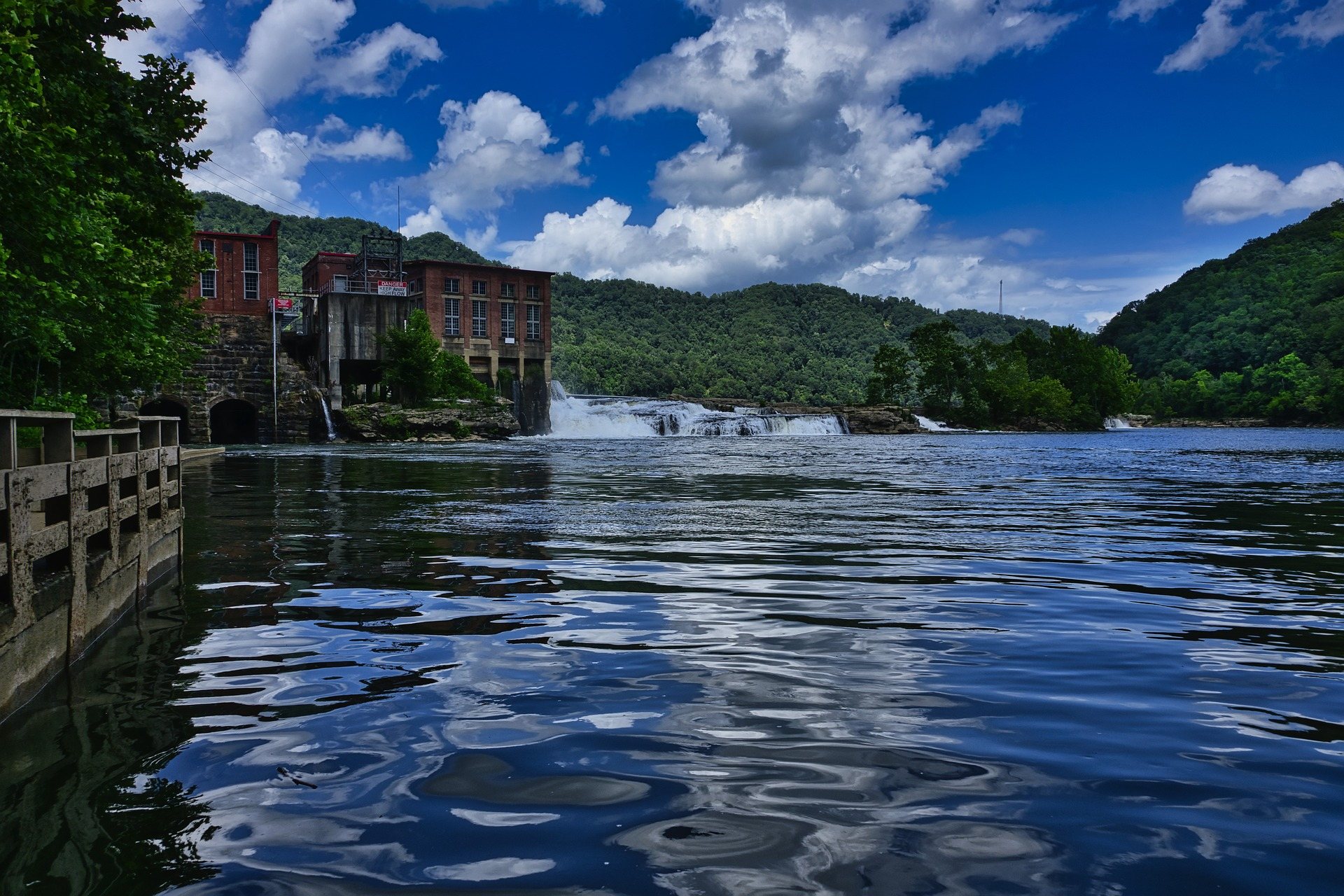 Destination · New River Gorge
Things to Do in Hinton, West Virginia
Hinton sits on flat New River water below Bluestone Dam: Sandstone Falls, park river access, Bluestone Lake camping, and the Turnpike Trail.
8 min read