
Every organization we link to: local tourism offices, the state and federal agencies that manage the land, the nonprofits and clubs that keep access open, and the universities doing the research.
West Virginia has roughly 1.5 million acres of public land and a handful of places that carry almost all of the attention. The consequence is that a great deal of very good ground sits nearly empty, usually for one of three reasons: nobody has heard of it, the road in is gated or rough, or it is undeveloped and has nothing to advertise. Those are the places below — of them across regions.
Almost Heaven Swings
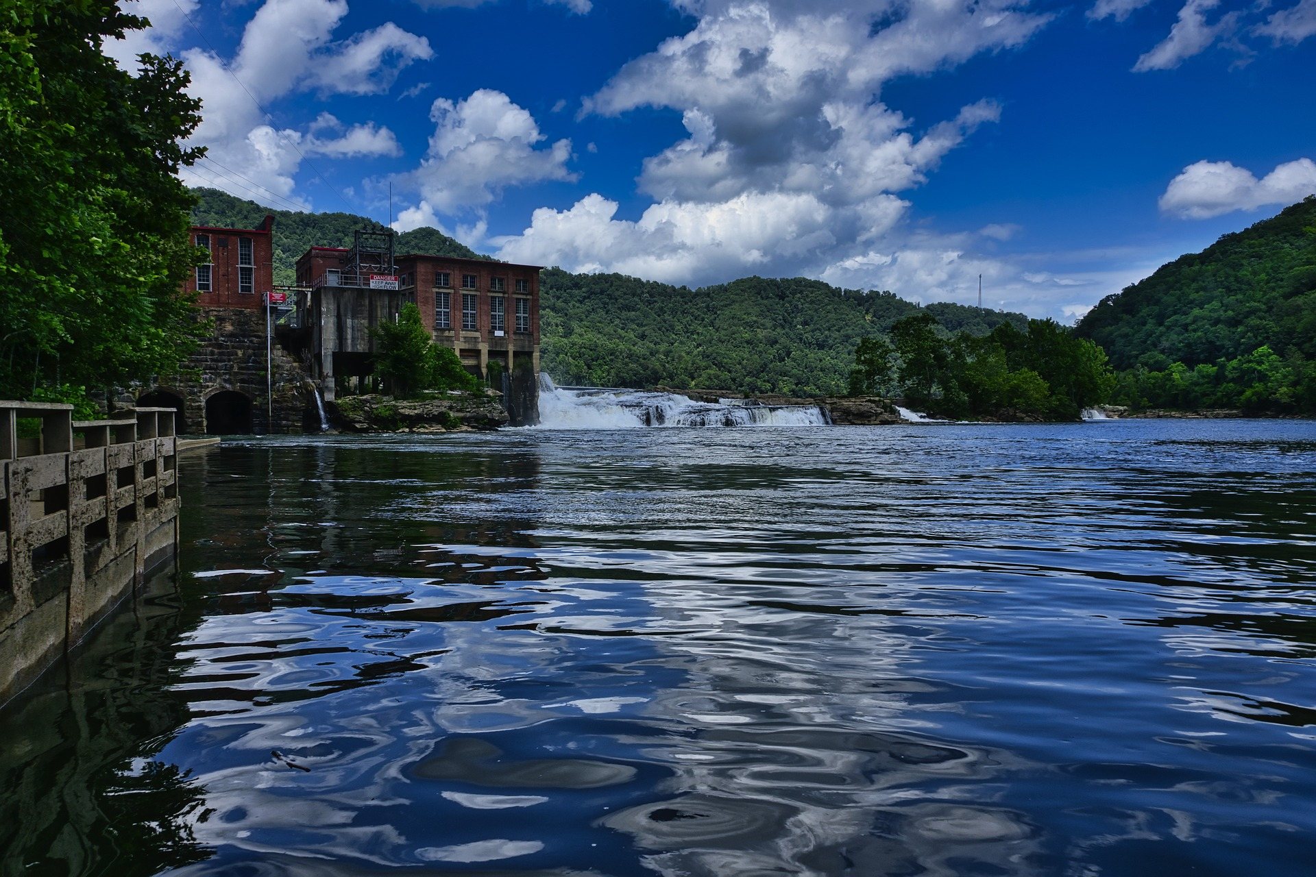
Where Hinton sits on the New River
Almost everything on a list of things to do in Hinton, WV happens within eight miles of town, and most of it happens on the New River. The river arrives here out of Bluestone Dam and runs Class I–II from the dam down to Sandstone, then Class I–III from Sandstone to McCreery and on toward Thurmond, where it narrows into technical Class III–IV. Upstream of that narrowing the New is wide, warm and slow. Access inside the gorge is almost entirely federal, and the National Park Service names its public river access points rather than rating them. There is no park entrance fee. Mapping apps misroute in the gorge, so carry the official park map.
River Road leaves Hinton and follows the water downstream past a string of named access points: Tug Creek Beach, Brooks Falls, Hellems Beach, and the Sandstone Falls day-use area at the end. Brooks Falls is the one with published facilities — a trail, a picnic area and a small boardwalk view. For the others the park does not publish what is there, so arrive expecting a place to put a boat in the water and nothing more. The road is scenic but narrow and slow, and thirty minutes is the honest allowance for those eight miles.
Sandstone Falls, eight miles downstream
Sandstone Falls is the largest waterfall on the New River, and its dimensions run the opposite way from what most people picture: a drop of ten to twenty-five feet, spread roughly 1,500 feet wide across the full breadth of the river. It spills between islands at the point where the gorge begins to open out. A boardwalk from the parking area reaches the falls without stairs, with bridges across two islands below the drop, which makes it the most accessible major natural feature in the national park. Parking, that boardwalk and those bridges are what the park lists for the day-use area.
The rim platform above the falls and the boardwalk at river level are not substitutes for one another. From above you get the whole width at once; from the boardwalk you are alongside the water. The caution attached to this place deserves stating plainly: the water around Sandstone Falls has been the site of several drownings, and the current across a broad, shallow-looking rock shelf is not obvious from the bank. To reach the day-use area from the interstate, take WV 20 from I-64 exit 139 and then River Road downstream from Hinton.
Things to do in Hinton, WV on the water
The reach either side of town floats well from June through August — Class I–II, wide and warm, and a good day in a canoe or on a raft. WVDNR's warning about this stretch is specific: float it, do not tube it. The current is stronger than it looks, and Sandstone Falls is downstream of you. If what you want is a tube and slack water, use the flatwater at Bluestone Lake instead. Below the falls the reaches keep going, with Sandstone to McCreery and McCreery to Thurmond both rated Class I–III.
Fishing is the reason a good many people drive here in the first place. Smallmouth below Sandstone Falls is excellent through the summer, Bluestone Lake holds bass, muskie and catfish, and the Bluestone gorge above the lake fishes well and stays lightly pressured. WVDNR administers licensing and regulations and runs one of the most extensive trout stocking programs in the East; a trout stamp is required in addition to a fishing license on stocked trout water. The agency posts each day's stockings by the end of that business day and does not release the schedule in advance, so a stocking date is not something you can plan around.
Camping at Bluestone State Park
Most of the camping among things to do in Hinton, WV is at Bluestone State Park, 2,155 acres on the shore of Bluestone Lake at the point where the Bluestone River meets the New. The lake covers 2,040 acres and is one of the largest bodies of water in the state. The campground has 82 sites with electric available and is open spring through fall. There are cabins as well, and the pool is open to cabin guests only, Wednesday to Sunday, Memorial Day to Labor Day — worth knowing before you book a tent site expecting to swim in it.
Lake levels fluctuate substantially, because this is a flood-control reservoir before it is anything else. That is also the thing paddlers coming down the Bluestone misjudge: the Eads Mill to Bluestone State Park reach is Class II–III, but the take-out is on impounded water at the park rather than on moving river, so the day ends with a paddle across a lake. Public boat launches sit on both the Bluestone River and the lake, and the marina rents boats. Launch surface, parking and fees are not published on the state's pages, so call the park if any of those decide your plan.
Further down the river the National Park Service runs primitive campgrounds at Meadow Creek, Grandview Sandbar and Glade Creek. There is no camping fee at any of them, and primitive is the operative word: no drinking water, no hookups, no electricity and limited restrooms. Meadow Creek sits off WV 41 near Prince with parking along Claypol Road. Grandview Sandbar and Glade Creek sit further down on the McCreery to Thurmond reach, also Class I–III, and at Mill Creek, the other access on that reach, parking along State Route 5 is sparse. These are river-access campgrounds rather than destinations, and they suit a boater working downstream more than a family with a cooler and a car.
Walking the Bluestone Turnpike Trail
The Bluestone Turnpike Trail runs 8.5 miles along the Bluestone River between Bluestone State Park and Pipestem Resort State Park, following the line of an old turnpike through the gorge. State Parks rates it easy to moderate, and in this part of West Virginia that rating describes the walking rather than the access: the trail itself is close to level, and the work is in getting down to it and back out again. The connecting trails from the Pipestem rim drop 500 feet. Inside Pipestem the through-route begins at the Farley Loop and River Trail junction.
End to end it is a point-to-point between two parks, which means a car shuttle or a long day out and back. From the Pipestem side the tram takes the climb out of the arithmetic, but it runs seasonally; when it is not running, walking out is 500 feet of ascent. The corridor the trail follows is protected as the Bluestone National Scenic River, the least-visited National Park Service unit in West Virginia. The surface is natural, and no other facilities are published along the route. Bluestone State Park connects on foot to that same gorge upstream, so the walk can be started from either park.
Pipestem Resort State Park, up on the rim
Pipestem covers 4,050 acres on the rim above the Bluestone Canyon. Its aerial tram descends 1,100 feet to Mountain Creek Lodge at river level — the only state park tram in West Virginia — and it runs seasonally, so confirm operation before you book a room down there, because that lodge is tram-access only. McKeever Lodge sits up on the rim and is reachable by car. Golf here is an 18-hole course plus a par-3 layout, and the par-3 is the useful one for a mixed-ability group with an afternoon to fill.
For a short visit the rim is the draw. The Bolar Lookout Tower stands at roughly 3,000 feet above the Bluestone River Gorge, with roadside overlooks along the park road and bald eagles working the canyon below. Pipestem is also one of West Virginia's designated dark-sky observation sites, and the tower and the rim overlooks are the obvious places to use that. Neither asks anything of you beyond parking the car. Walking here is a different commitment: every trail worth the effort drops off this rim toward the Bluestone, with the River Trail running 5.25 miles down to the water and the Canyon Rim Trail losing 500 feet in 0.7 miles to Heritage Point.
Reach people planning this trip
Placement alongside guides for outfitters, guides, shops and lodging.
List your business hereQuestions
How far is Sandstone Falls from Hinton?
Is there a fee to visit the national park near Hinton?
Can you tube the New River at Hinton?
Where can you camp near Hinton?
What is the fishing like around Hinton?
Can you walk from Hinton to Pipestem?
Read next
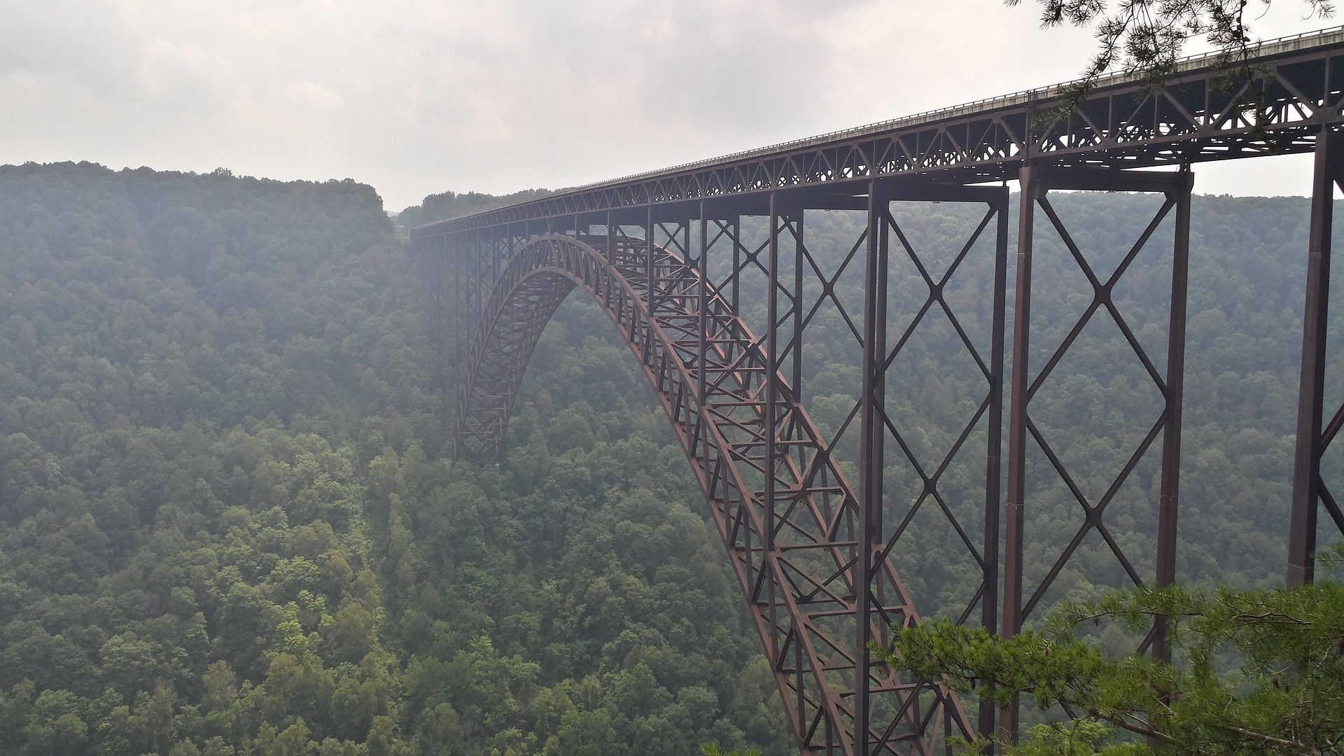 Destination · New River Gorge
Things to Do in New River Gorge National Park
A complete guide to New River Gorge National Park: the best hikes, whitewater, climbing and overlooks, plus where to base yourself and when to come.
12 min read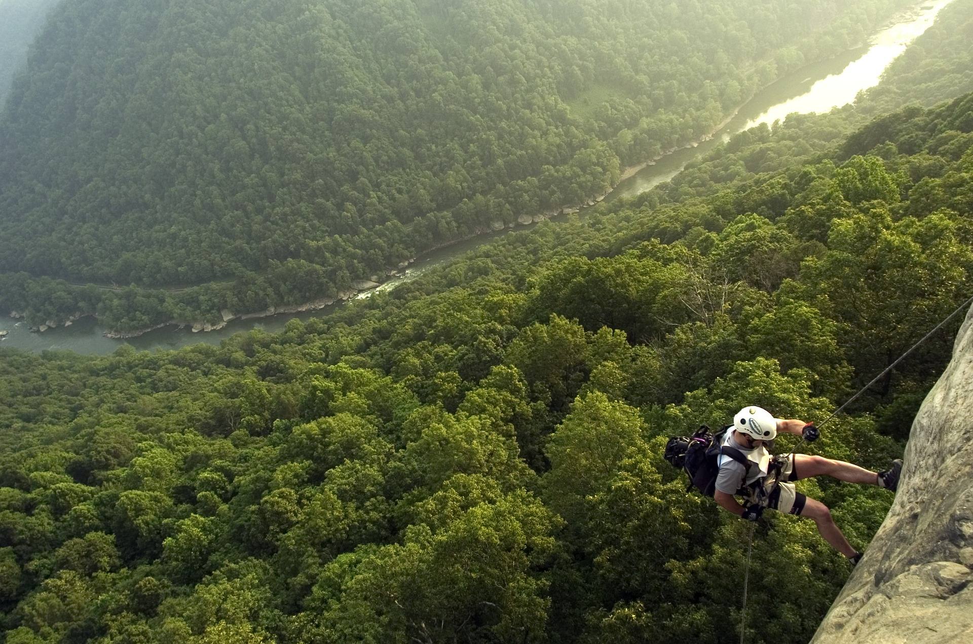 Best of · New River Gorge
The Best Hikes in New River Gorge National Park
Fifteen New River Gorge hikes ranked by what you get for the effort, with NPS distances, parking notes, and the one classic trail that is closed until 2027.
10 min read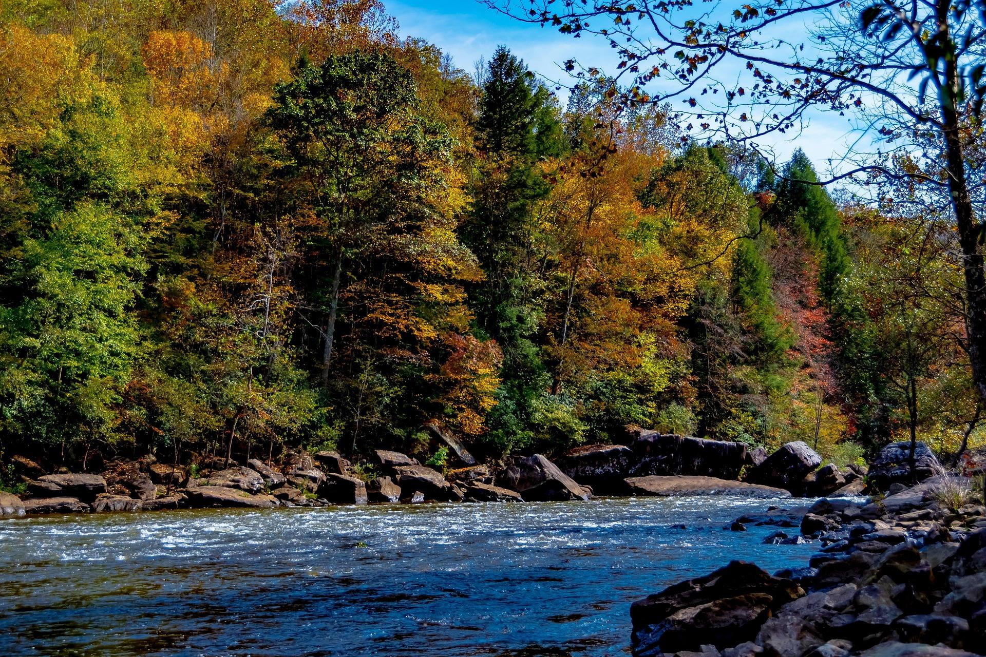 Guide · New River Gorge
Gauley Season: A Complete Guide
Everything to know about Gauley Season in West Virginia: how the dam releases work, Upper versus Lower Gauley, minimum ages, when to book and what to expect.
8 min read · September