
Every organization we link to: local tourism offices, the state and federal agencies that manage the land, the nonprofits and clubs that keep access open, and the universities doing the research.
West Virginia has roughly 1.5 million acres of public land and a handful of places that carry almost all of the attention. The consequence is that a great deal of very good ground sits nearly empty, usually for one of three reasons: nobody has heard of it, the road in is gated or rough, or it is undeveloped and has nothing to advertise. Those are the places below — of them across regions.
Almost Heaven Swings
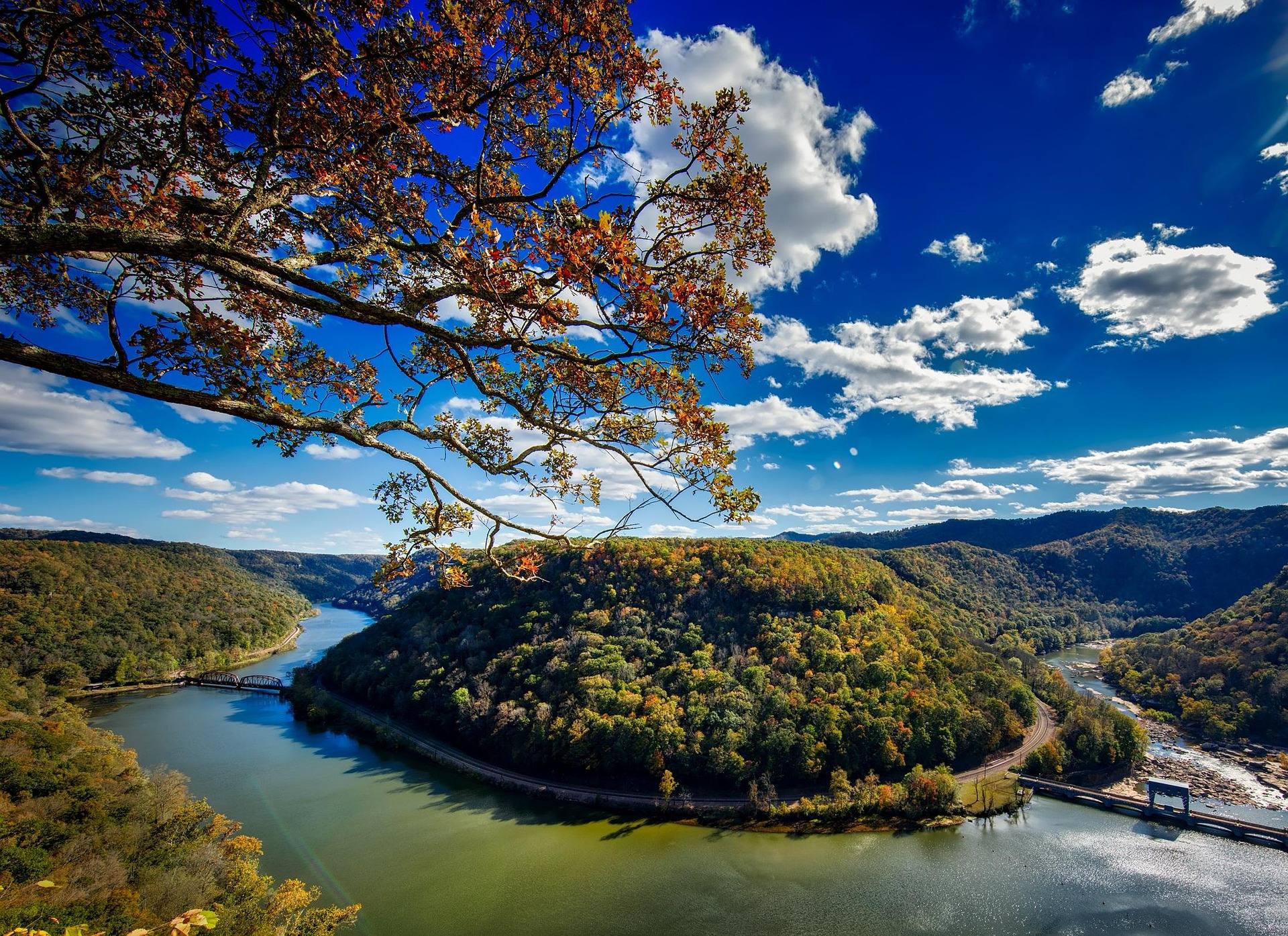
The trail on the rocks themselves
Most hiking near Seneca Rocks starts with the fin itself. A hiking trail with a stairway climbs the north side to an observation platform, 1.3 miles from the bottom, and it needs no gear and no climbing experience. What it does not do is reach the top. The summit of Seneca Rocks is the only true summit in the East that can be reached only by technical climbing, and the platform is where walking ends. The Monongahela National Forest does not publish an elevation gain for this trail, so judge it by the stairway rather than by a number, and expect the descent to be harder on the knees than the climb was on the lungs.
The quartzite stands roughly 900 feet above the North Fork of the South Branch, which means the view from the platform is a valley view, not a ridge-top one. The discovery-center side of the river gives the full profile of the formation from the valley floor without climbing anything at all, and it is the better place to understand the shape of the thing before you walk up it. The Gendarme, the famous freestanding pinnacle that once stood at Seneca, collapsed in 1987. The rock is Tuscarora quartzite, hard and near-vertical, and the reason the fin stands up while everything around it wore down.
North Fork Mountain, the long ridge across the valley
The North Fork Mountain Trail runs 24 miles along one of the driest mountains in the eastern United States. It stays in pine and oak, passing repeated Tuscarora quartzite outcrops that look down into Germany Valley and straight across at Seneca Rocks, and it is regularly named one of the best long trails in the East. There is essentially no water on the ridge. Carry everything you plan to drink, or plan long descents to springs and back — the climb out is the part people misjudge. This is a rain-shadow mountain, so it dries out faster after weather than anything else in the region.
Chimney Top and the Landis Trail give the classic Germany Valley views and are the usual way to sample the ridge without walking all 24 miles. Spring and fall are the ideal windows; summer on the ridge is hot and exposed, with no shade pattern to hide in during the middle of the day. Mountain bikes are permitted on most of the trail, which makes it a rare long ridge ride in the East, so expect to share the tread. In October the hardwood on the flanks turns while the ridge pines stay dark, and the outcrops are the best place to see it happen.

Seneca Creek, about ten miles south
Seneca Creek Trail, FT 515, is 5.2 miles one way, rated moderate, blue-blazed, and on natural surface the whole distance. It follows the creek past cascades and pools to the Horton Trail junction; beyond that the route is unmaintained and runs to posted private land, so the junction is the sensible turnaround. The largest of the falls on the creek is around 20 feet. The water holds native brook trout throughout, which is a reason to use barbless hooks and careful handling if you carry a rod, and a reason to stay out of the spawning gravel if you do not.
Getting there takes longer than the mileage suggests. From Seneca Rocks, take WV 28/55 south about 10 miles, then Briery Gap Run Road for 2.4 miles, then Forest Road 112 for about 11.4 miles to the trailhead on the right. FR 112 is a forest road, not a highway. The creek is crossed several times without bridges, so spring melt and post-storm flows decide whether the walk works at all, and there is no potable water anywhere in the drainage. Bring what you need or treat what you find, and expect it to run tea-colored from tannins even when it is clean.
The backcountry below Spruce Knob holds about 60 miles of trail inside a 100,000-acre national recreation area that Congress designated in 1965, and several of those trails make honest day walks. Swallow Rock Trail, FT 529, is a 3-mile connector down to the creek. Lumberjack Trail, FT 534, is 5.7 miles and useful for shortening a loop. Big Run Trail, FT 527, is 3.2 miles on a turn-of-the-century logging railroad grade beside a beaver-worked stream, climbing gradually up Allegheny Mountain. Allegheny Mountain Trail, FT 532, runs 13.1 miles of ridge with views into the drainage once the leaves are off. The Forest Service publishes no gain or difficulty for any of them.
Short walks at Spruce Knob
Spruce Knob is 4,863 feet, the highest point in West Virginia and the high point of the whole Allegheny range, and a road goes to the top. Whispering Spruce Trail, FT 567, loops the summit and its observation tower in half a mile through wind-flagged spruce, and it is the walk most visitors actually do. The summit road is paved, but the approach is long and winding and eats more of the day than a map suggests. The summit is frequently in cloud — check the forecast for the ridge rather than for the valley you drove out of, because the two are often describing different weather.
Below the summit, Spruce Knob Lake Trail, FT 575, circles the lake in a mile on the forest roads, and it is the easiest walking in the area. The lake offers trout fishing and has a small campground beside it, which makes it the natural base if you want the summit at first light without the drive. Neither of these trails has a published elevation gain, and neither needs one; the drive supplies the altitude. Pair the summit loop with the lake circuit and you have a short, high day that works even when the ridge weather has shut down anything longer.
What October asks of you here
Hunting seasons overlap prime autumn hiking in this region. Wear blaze orange on wildlife management areas, and assume you are sharing the woods rather than that you have them to yourself. Monongahela National Forest trails are often lightly blazed, and Seneca Creek's blue blazes are the exception rather than the rule out here — carry a map and a GPS, and do not count on signs at junctions. Rhododendron and mountain laurel make off-trail travel genuinely difficult, so a shortcut on the map is usually slower than the trail you left. Hardwood forest turns through October at these elevations, earliest on the high ground.
Water is the planning variable that separates one kind of hiking near Seneca Rocks from another. The North Fork ridge has none, so you carry it. Seneca Creek has plenty and no potable water, so you filter it. Both of those facts hold in October. After heavy rain the ridge is the safer choice, because the unbridged crossings on the creek come up fast and the crossing you managed on the way in is the one you have to manage again on the way out. Cold water and short daylight together are what turn a wet crossing from an inconvenience into a problem, so start early.
Other options for hiking near Seneca Rocks
Nelson Rocks, in Pendleton County, is a pair of parallel quartzite fins with one of the original American via ferratas running on them — a guided cable-and-rung route with a 200-foot suspension bridge strung between the two fins, roughly 150 feet above the ground. There are around a thousand feet of cable and rungs on the route, and it takes roughly three to four hours. No climbing experience is needed, but the route is continuously exposed the whole way. It is reservation-only and guided, so book well ahead in autumn rather than turning up.
For a short, steep day on foot instead, Bee Trail, FT 555, climbs a thousand feet through maple and cherry to the top of Leading Ridge in a mile and a half, from County Road 29 along Gandy Creek. It is a footpath, and the climb is the whole point of it. Leading Ridge Trail, FT 557, carries on for 5.3 miles as a connector between the Gandy Creek side and the high country, if a mile and a half of climbing turns out not to be enough. Neither trail has a published gain beyond the thousand feet on Bee. Closed-toe shoes and gloves make a large difference on the via ferrata, and on Bee Trail the thing worth having is a pole for the way back down.
Reach people planning this trip
Placement alongside guides for outfitters, guides, shops and lodging.
List your business hereQuestions
Can you hike to the top of Seneca Rocks?
How long is the Seneca Creek Trail?
Is there water on the North Fork Mountain Trail?
What is the easiest hike near Seneca Rocks?
How do you get to the Seneca Creek trailhead?
When is the best time of year for these trails?
Read next
 Destination · Potomac Highlands
Hiking Dolly Sods
A practical guide to hiking Dolly Sods Wilderness: the main trails, route options, why it is navigationally serious, and how to reach Bear Rocks.
9 min read Destination · Potomac Highlands
Things to Do in Davis and Thomas, West Virginia
A guide to Davis and Thomas, West Virginia: Blackwater Falls, Dolly Sods access, Canaan Valley skiing and two of the best small towns in Appalachia.
8 min read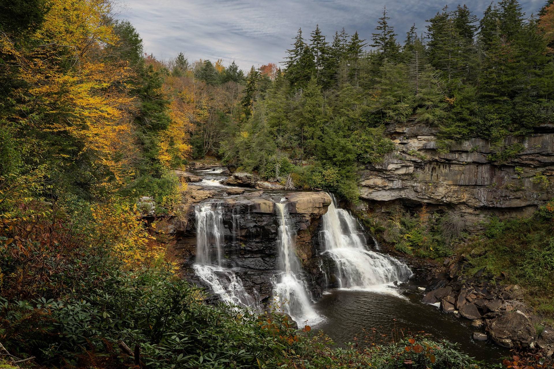 Destination · Potomac Highlands
Blackwater Falls State Park
A complete guide to Blackwater Falls State Park: every waterfall and overlook, Lindy Point at sunset, the trails, lodging and the best season to visit.
8 min read · October