
Every organization we link to: local tourism offices, the state and federal agencies that manage the land, the nonprofits and clubs that keep access open, and the universities doing the research.
West Virginia has roughly 1.5 million acres of public land and a handful of places that carry almost all of the attention. The consequence is that a great deal of very good ground sits nearly empty, usually for one of three reasons: nobody has heard of it, the road in is gated or rough, or it is undeveloped and has nothing to advertise. Those are the places below — of them across regions.
Almost Heaven Swings
What “not plowed” means on Route 150
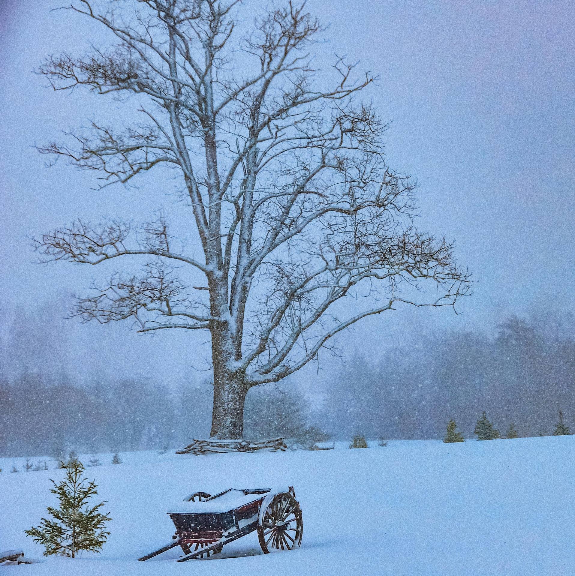
The one fact this site holds about winter on the Highland Scenic Highway is short and specific: Route 150 is not plowed. That is a statement about maintenance, not about grade, surface or gate schedules. Snow that falls on the highway stays where it lands until it melts.
An unplowed road is not automatically a legally closed one, and these records do not say which applies on Route 150 in a given week. No closure dates, no gate locations and no reopening date are published in what this site knows. The Marlinton Ranger District of the Monongahela National Forest manages the road and the trail system off it, and that is where the current status lives.
So the search behind this page has a partial answer. The plowing stops. What happens after that depends on the weather and on the district's own decisions, and neither of those is published here.
Why four-wheel drive is not the published limit
Four-wheel drive helps a vehicle get moving on a loose or slick surface. It does not clear a foot of unplowed snow off a mountain road, and it does not shorten a stopping distance on ice. Those are the conditions the plowing fact points toward, and they are not conditions a drivetrain solves.
Nothing in these records states a vehicle requirement for the Highland Scenic Highway. No minimum ground clearance, no drivetrain recommendation, no tire advisory. The Tea Creek record lists access simply as Route 150, with plowing as the only seasonal limit attached to it. If you see a firmer claim than that, get it confirmed by the Forest Service rather than by a forum.
The practical planning move is to treat deep winter as a walking or skiing approach rather than a driving one. Where the cars stop, the distance from there to the trailhead becomes part of the day, and that distance is the thing worth asking about.
Tea Creek: 44 miles at the end of that road
Tea Creek Trail System is forty-four miles of interlocking trail off the Highland Scenic Highway, on the Marlinton district, and the best-known mixed hiking and mountain-biking network there. Loops run from an hour to a full day, following Tea Creek itself and climbing onto the ridges on either side.
The tread is rooty and rocky rather than groomed singletrack. That is the character of riding here, and it is what the intermediate-to-advanced reputation of the network reflects. Hikers and runners use the same trails as riders, so expect to share junctions and to hear a bike before you see it.
Tea Creek Campground sits at the trailhead, which is the entire argument for it: you sleep at the bottom of the system and start from the tent. It is a Forest Service campground, so it runs through federal recreation booking rather than the state park system. When the plowing on Route 150 stops, that argument ends at the road.
Summit Lake and the approach from Richwood
Summit Lake is a 43-acre cold-water lake ten miles from Richwood, on the Gauley Ranger District, with a 33-unit campground on the shore. The Cranberry backcountry sits immediately behind it, and Cranberry Wilderness trailheads on Forest Road 86 are a short drive off.
The Forest Service stocks the lake and WVDNR lists the district's trout waters nearby, but no species list appears in this record for the lake itself. Check current regulations and stocking with WVDNR before you build a trip around a particular fish.
This matters to a road question because of how the lake's own record frames it: Summit Lake works as a base for fishing the Cranberry and Williams rivers without driving the Highland Scenic Highway twice in one day. That is a road-avoidance argument in ordinary conditions, and it gets stronger when part of the highway is not being cleared.
Site count is published. Hookups and the length of rig the sites will take are not, so anyone towing something long should confirm with the Gauley Ranger District at Richwood before committing to ten miles of mountain road. The campground season runs April through October.
Where you can sleep once the campgrounds shut
Dispersed camping is permitted across most of the Monongahela National Forest, which is unusual for an eastern national forest, and both of these places sit on it. That gives you ground beyond the developed campgrounds if you would rather walk in and carry water.
District rules change, and this site does not hold the current ones. Confirm before you choose a site: Marlinton for the ground around Tea Creek, Gauley for the country behind Summit Lake.
Two seasonal limits are on record here, and no more than two. The Summit Lake campground season is April through October. Route 150 is not plowed in winter. Nothing in these records puts a date on either end of that second one, which is exactly why the phone call replaces the guess.
The three calls worth making first
Marlinton Ranger District, for Route 150 and Tea Creek. Ask for current road status, whether the trail system is reachable by vehicle, and what dispersed camping rules are in force on the district this season.
Gauley Ranger District at Richwood, for Summit Lake. Ask about campground dates, whether any hookups exist, and how long a trailer the sites will hold. None of those three is published in what this site knows.
WVDNR, for anything you intend to catch. Stocking timing and regulations for these waters belong to the agency, they change from year to year, and no record here substitutes for the current listing.
Reach people planning this trip
Placement alongside guides for outfitters, guides, shops and lodging.
List your business hereQuestions
Is the Highland Scenic Highway closed in winter?
Do you need four-wheel drive on Route 150?
Can you still reach Tea Creek in winter?
Is Summit Lake open year-round?
Read next
 Guide · Greenbrier Valley
The Highland Scenic Highway: Driving and Hiking
A 43-mile byway above 4,500 feet: four overlooks, the Cranberry Glades boardwalk, the Falls of Hills Creek, and the trailheads that close all winter.
7 min read · October
Destination · Greenbrier Valley
Things to Do in Marlinton, West Virginia
What to do from Marlinton: the rail-trail at mile 56, Tea Creek's 44 miles of trail, Seneca State Forest, smallmouth water, and what closes in winter.
6 min read Best of
The Best Mountain Biking in West Virginia
Where to mountain bike in West Virginia: the Arrowhead trails, Canaan and Snowshoe, Hatfield-McCoy, plus rail-trails and gravel in the highlands.
8 min read · June