
Every organization we link to: local tourism offices, the state and federal agencies that manage the land, the nonprofits and clubs that keep access open, and the universities doing the research.
West Virginia has roughly 1.5 million acres of public land and a handful of places that carry almost all of the attention. The consequence is that a great deal of very good ground sits nearly empty, usually for one of three reasons: nobody has heard of it, the road in is gated or rough, or it is undeveloped and has nothing to advertise. Those are the places below — of them across regions.
Almost Heaven Swings
What the trail center is
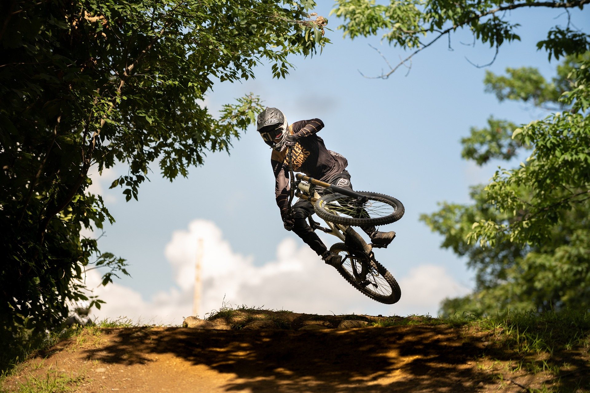
Big Bear Lake Trail Center mountain biking is not a state park operation. It is a long-established private trail center in Preston County with dozens of miles of cross-country singletrack and doubletrack laid out around a lake, plus camping on site — more than 50 miles of trail by the published figure. It is one of the older mountain biking destinations in the state and a fixture of the regional race calendar, which is the most useful thing to know about it: the trail system was built and maintained by and for cross-country racers, and it still rides that way.
Being private changes the practicalities rather than the riding. There is a gate, an operator, a day-use fee and an office, instead of a state trailhead kiosk and a parking area you can arrive at whenever you like. It also means the trail system, the campground and the lake are all one property under one set of rules, so a weekend can be planned in one place rather than assembled out of three. Preston County is the same county that holds the Cheat Canyon, so the drive in from Morgantown or I-68 is short.
What the riding is actually like
Traditional cross-country riding on rooty, rocky natural surface. That is the published description and it is not hedging. Big Bear predates the current era of machine-built trail, and it belongs to the older West Virginia pattern: most established mountain bike trail in the state is natural-surface and technical, following old logging and game trails over rock and root at steep grades. Expect to be picking lines rather than carrying speed, and expect the trail to go where the old grade went rather than where a flow builder would have put it.
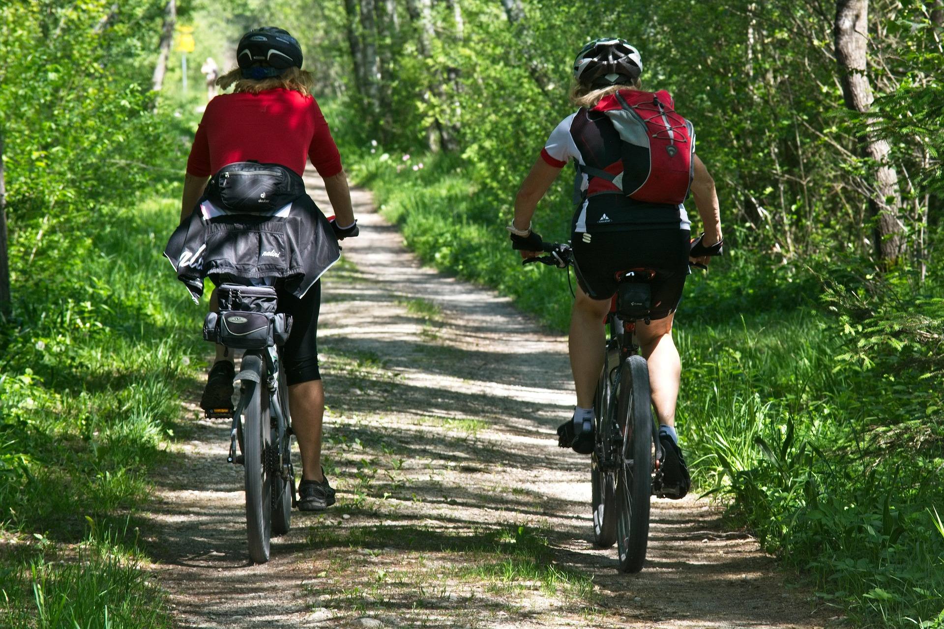
The statewide difficulty band for mountain biking here is intermediate to advanced, and Big Bear is a fair example of why. There is nothing about a rooty, rocky surface that a strong beginner cannot ride slowly, but a first-timer expecting groomed berms will have a hard afternoon. The doubletrack is the more forgiving half of the network and the reasonable place to start if you are unsure. Bring tires and a suspension setup you would take to a rocky cross-country race, not to a bike park, and expect the mileage to take longer than the same number would elsewhere.
The fee, the camping and the lake
A day-use fee applies. The amount is not published in the record we work from, so treat it as a real cost to confirm with the trail center before you drive out rather than a number to assume. The same goes for camping rates, site counts and hookups: the place has camping on site, and none of the specifics are published here. If the trip depends on a site being available or on a particular price, that is a phone call or a check of the operator's own information before you commit, not something to discover at the gate.
The lake is on site, and it is the reason this reads as a weekend destination rather than a ride. Fishing is one of the listed activities, and a lake at the middle of a trail network is the obvious place to end a hot July lap. In winter the same trails carry cross-country skiing, and trail running is a listed use year-round. That mix is worth knowing if your group is not all riders: the people who do not want fifty miles of roots still have somewhere to be all day.
Big Bear Lake Trail Center mountain biking in July
The published mountain biking season for West Virginia runs March through November, so July sits in the middle of it. What July brings at Big Bear is heat, humidity and the particular problem of wet roots. Rooty, rocky natural surface is at its worst in the hours after a summer thunderstorm — a root that is grippy in dry air becomes the slickest thing on the trail — and afternoon storms are ordinary here in midsummer. Riding early is the simple answer, and it also gets you the cooler part of the day under a canopy that holds humidity like a held breath.
Summer is also the busy part of the year at a place with camping and a race calendar. If you are going for a quiet weekday lap, that is a different plan from arriving on a race weekend, and the two experiences of the same trail system barely resemble each other. Neither is worse, but it is a poor surprise. Plan water for the length of your ride rather than the length of the loop you intended, since natural-surface mileage in July takes longer than the map suggests, and a lake in the middle of the property is not drinking water.
Checking conditions before you drive
Trailforks is the most current source for West Virginia trail conditions and status, and for a network this size that is the tool to check the night before rather than a general weather forecast. Trail status at natural-surface systems changes with rain in ways a forecast does not tell you, and a private trail center can close or reroute sections without any public notice reaching a map you might be using. A Big Bear Lake Trail Center mountain biking day is a drive out into Preston County for most riders, which makes the few minutes of checking worth more than they look.
WVMBA organizes riders, races and advocacy across the state, which is the other useful thread to pull if you want to know when Big Bear is hosting something or when the local riding community is out in force. A trail center that is a fixture of the regional race calendar has weekends where the singletrack is a race course. Knowing which weekend you are looking at turns an inconvenience into a choice — either come and race, or come the following Tuesday and have the network to yourself. The same organizations are the reason older natural-surface systems in West Virginia still have maintained trail at all.
The other kind of riding in the same county
Preston County now holds both eras of West Virginia mountain biking. The Mountaineer Trail Network Recreation Area is purpose-built modern singletrack on state-owned land — machine-built flow and technical climbing trails, a deliberate departure from the region's traditional rugged riding, and the anchor project of a regional effort to link northern West Virginia into a single mountain bike destination. Its mileage is described only as growing, and no total is published, so check Trailforks for what is actually open before you plan a day around it. The intent behind it is regional rather than local: not one more trail system, but the piece that ties the northern counties together into somewhere riders travel to.
If you are pairing that network with Big Bear, the practical difference is what rain does to each. Wet-weather closures are enforced at the purpose-built trails to protect new tread, so the machine-built option is the one that disappears after rain, not the old rooty one. And it rides nothing like Big Bear — sustainable grades and built corners against roots and old logging grades — so a weekend that includes both gives you the honest comparison. Elsewhere in the state, Snowshoe Bike Park is the only major lift-served downhill, and that is a different sport again.
Reach people planning this trip
Placement alongside guides for outfitters, guides, shops and lodging.
List your business hereQuestions
How many miles of trail are at Big Bear Lake Trail Center?
Is there a fee to ride at Big Bear Lake Trail Center?
What kind of mountain biking is it?
Can you camp at Big Bear Lake Trail Center?
When is the mountain biking season?
What else is near it for riding?
Read next
 Best of · Mountaineer Country
The Best Hikes at Coopers Rock State Forest
All six Coopers Rock trails with the state's own mileages and ratings, where each one starts, and which walk replaces the closed overlook.
8 min read · October
Destination · Mountaineer Country
Things to Do Outdoors in Morgantown, West Virginia
A survey of what a Morgantown base actually reaches: 48 miles of rail-trail, a 12,747-acre forest, Cheat Lake, new singletrack and the Cheat itself.
9 min read Guide · Mountaineer Country
The Mon River Rail-Trail System: A Complete Guide
How three trails make 48 miles of crushed limestone: the Caperton riverfront, the run north to Pennsylvania, and the 19-mile Deckers Creek climb.
8 min read · May