
Every organization we link to: local tourism offices, the state and federal agencies that manage the land, the nonprofits and clubs that keep access open, and the universities doing the research.
West Virginia has roughly 1.5 million acres of public land and a handful of places that carry almost all of the attention. The consequence is that a great deal of very good ground sits nearly empty, usually for one of three reasons: nobody has heard of it, the road in is gated or rough, or it is undeveloped and has nothing to advertise. Those are the places below — of them across regions.
Almost Heaven Swings
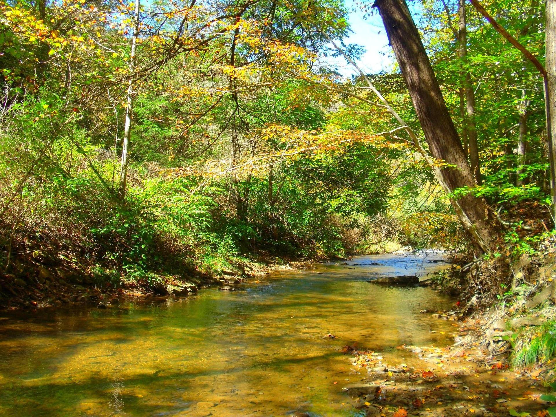
What Forest Road 75 actually is
Two Forest Service roads carry traffic onto the Dolly Sods plateau, numbered 19 and 75. Forest Road 75 is the one that runs the northern rim to Bear Rocks, and the record describes it as rough gravel and slow, with instructions to allow real time for it. The overlook listing adds that it is unpaved and not winter-maintained.
This site's driving reference is more pointed. Much of the best access in West Virginia sits at the end of a forest service road; many are rough, some are seasonally closed, and a few are hard on a low-clearance car. Forest Road 75 to Bear Rocks is named as the most notorious of them.
So the answer is yes with conditions. Bear Rocks is catalogued here as a drive-up viewpoint, which means ordinary cars get there in ordinary weather. A low car is the case where the warning bites, and the record says plainly to check conditions before committing one.
Where to check status before you leave pavement
Monongahela National Forest publishes road closures, fire restrictions and forest orders on its alerts page, and this site links it as the live source for exactly this question. Checking forest road status before committing is the reference's standing advice for Highlands access, not a formality reserved for winter.
No fixed opening and closing dates for Forest Roads 19 and 75 appear anywhere on this site, and the alerts page is why they are not needed. The pattern to plan against is that some forest roads close seasonally and this one is not maintained through winter, so a February drive is a question for the forest rather than for a mapping app.
Budget the time the map will not
West Virginia is the only state entirely inside the Appalachians, and its roads follow creeks and ridges rather than straight lines. Sixty road miles can take two hours. The reference's instruction is to check real drive times rather than estimating from a map, which matters doubly when the last stretch is gravel.
US 219 is the north-south spine of the Highlands, and the reference calls it slow and often the only option. Whatever the approach, the gravel section is the part that breaks an estimate.
Sunrise makes it worse in a useful way. Bear Rocks at sunrise is the classic photograph and the record says to arrive in the dark, so you are driving rough gravel with no daylight to read it by. Work backward from sunrise with a wide margin.
The plateau is colder than the forecast at your house
Dolly Sods sits largely above 4,000 feet, and the safety reference is specific: this plateau and Canaan Valley regularly run twenty degrees colder than the valleys, with wind and driving rain in June. Cotton, wind and a long exit are how people get into trouble up there.
Bear Rocks adds its own warning. The wind is relentless and the preserve tells visitors to carry more layers than the forecast suggests, on open ground of bare Pottsville sandstone and blueberry heath where nothing breaks it. A car that stops moving leaves you standing in that.
The wilderness record puts hypothermia in any month on the list of real risks. Carry insulation and a shell regardless of what the trailhead forecast said.
Fuel, water, and a phone that will not work
Plan fuel stops deliberately in Pocahontas, Randolph, Pendleton and Webster counties. Long stretches have nothing, what exists may close early or on Sundays, and the reference tells you to carry more water and food than the day requires. Inside the wilderness there is no potable water at all, so you either bring it or treat what Red Creek gives you.
Assume no cell service in the Highlands and the wilderness areas. Download offline maps in Gaia, onX or Avenza before you leave signal, and treat a satellite messenger as reasonable rather than excessive for a wilderness trip here. Backcountry rescue in West Virginia often means volunteer squads and a long carry-out, so tell someone your plan and your return time.
Rules that begin at the roadside
No permit is required to hike on Monongahela National Forest trails, and dispersed backcountry camping is permitted across most of the forest without one, subject to setback rules from roads, trails and water and to stay limits. At Dolly Sods that setback is concrete: camping is prohibited within 300 feet of Forest Roads 19 and 75, with Red Creek Campground the sole exception.
A dispersed night therefore means walking in from where you parked until you are clear of the buffer. Monongahela National Forest campgrounds reserve on Recreation.gov, which is where to look for Red Creek, though no site count or layout for it appears on this site.
Where you camp matters as much as where you may. High-elevation sphagnum bog and heath here take decades to heal from a single season of trampling, so pick bare rock, established sites or forest duff well away from wet ground. Use a stove rather than a fire.
What driving in does not solve
Reaching a trailhead is the easy half. The wilderness holds 47 miles of trail, with Red Creek at 6.4 miles, Blackbird Knob at 4.7 and Rohrbaugh at 3.6, and federal wilderness trails here are unblazed by design. Junctions are frequently unsigned, so map, compass and the ability to use them are the entry requirement.
Red Creek runs tannin-brown, its crossings are unbridged, and they can be impassable after rain. Levels in this state change in hours after rain, and the site links the USGS real-time gauge network as the place to read what streams are doing before you plan a route across one.
One warning waits at the trailheads themselves. The area was a live-fire artillery training range during World War II, and unexploded ordnance notices are still posted. Read them before you walk off the road, whatever your car managed getting there.
Reach people planning this trip
Placement alongside guides for outfitters, guides, shops and lodging.
List your business hereQuestions
Can you drive to Dolly Sods in a regular car?
Is Forest Road 75 open in winter?
Do you need a permit to hike or camp at Dolly Sods?
Is there cell service at Dolly Sods?
Read next
 Destination · Potomac Highlands
Hiking Dolly Sods
A practical guide to hiking Dolly Sods Wilderness: the main trails, route options, why it is navigationally serious, and how to reach Bear Rocks.
9 min read Itinerary · Potomac Highlands
Three Days in the Potomac Highlands
A three-day Potomac Highlands itinerary: Blackwater Falls, Dolly Sods, Seneca Rocks and Spruce Knob, with realistic driving and the forest roads to respect.
8 min read Best of
West Virginia Overlooks, Sorted by How Far You Walk
Every notable West Virginia overlook sorted by effort: drive-up terraces, 400-foot walks and full-day climbs, with gate hours and current closures.
9 min read