
Every organization we link to: local tourism offices, the state and federal agencies that manage the land, the nonprofits and clubs that keep access open, and the universities doing the research.
West Virginia has roughly 1.5 million acres of public land and a handful of places that carry almost all of the attention. The consequence is that a great deal of very good ground sits nearly empty, usually for one of three reasons: nobody has heard of it, the road in is gated or rough, or it is undeveloped and has nothing to advertise. Those are the places below — of them across regions.
Almost Heaven Swings
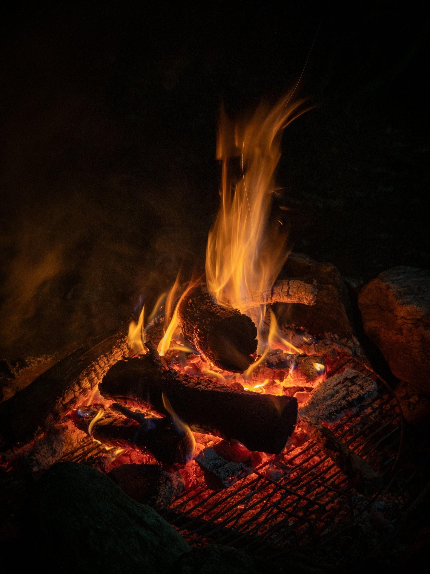
April and October are not two versions of the same month
The search that brings people here treats April and October as interchangeable — the cheap, quiet edges of summer. They behave nothing alike. April is snowmelt and spring rain: the Cheat, the Blackwater, the Meadow and every Highlands creek run high, trails turn to mud, and high-elevation trailheads may still be snowed in. Wildflowers reach the coves only late in the month.
October is the opposite problem. Humidity drops, nights go cold, and color starts on the highest ridges in late September before working downhill through late October, reaching the Ohio Valley last. It is the busiest period of the year. Lodging in Fayetteville, Davis and Marlinton books months ahead, and Gauley Season releases begin the Friday after Labor Day.
April buys solitude and costs comfort. October reverses both.
Elevation decides what April is like
Altitude matters more than the calendar. Kumbrabow is the highest of the nine state forests at 9,474 acres, and its cabins rent without electricity. The Dolly Sods plateau sits above 4,000 feet; Bald Knob, on the Cass Scenic Railroad line, is 4,842 feet. Dolly Sods and Canaan Valley run twenty degrees colder than the valleys, with wind and driving rain even in June.
High water shows up as trail conditions, not rainfall totals. Otter Creek Wilderness has 45 miles of trail and unbridged crossings — a different proposition at snowmelt than in August. Cranberry Wilderness covers 47,815 acres with more than 70 miles of maintained trail and no blazes anywhere in it by design.
Lower and further west, April works. Audra State Park is 355 acres with the Alum Cave rock shelter. Kanawha State Forest holds 9,300 acres and 25-plus miles of trail fifteen minutes from Charleston. Beech Fork is 3,981 acres around a 720-acre lake; North Bend State Park is 1,405 acres on a 305-acre lake beside the 72-mile rail trail.
In October the hard part is getting a site at all
Roughly two dozen parks and forests operate campgrounds, from full hookups to primitive. Bookings open a year in advance through the West Virginia State Parks system, and cabins at Babcock, Blackwater Falls and Watoga fill for all of October within days of that window opening. Watoga is the largest park at 10,100 acres and an International Dark Sky Park, which pulls its own October traffic.
The fallback is federal land. Dispersed backcountry camping is permitted across most of the Monongahela National Forest without a permit, subject to setbacks from roads, trails and water and to stay limits. It is not permitted in state parks. Monongahela, National Park Service and Corps of Engineers campgrounds reserve on Recreation.gov.
The dates this site does not publish
This is the gap that matters most here. Per-campground open and close dates, site counts and camping fees are not published here, and they differ by property. A park busy in July may have its campground shut in April. Check the individual park page with WVDNR; Recreation.gov carries the season for federal sites.
Day use costs nothing regardless. West Virginia charges no entrance fee at any of its 35 state parks or 9 state forests, and fees apply only to camping, cabins, lodge rooms, pools, golf and rental. Blue Bend and Stuart recreation areas, both CCC-built in the 1930s, sit on national forest ground, so their seasons come from the Monongahela.
Cold, fire and ticks
Pack for the plateau even when camping in a valley. Cotton, wind and a long exit are how people get into trouble here, and hypothermia is a hazard in every season. Carry insulation and a shell regardless of the forecast at your trailhead. Cabins at Kumbrabow and Seneca State Forest — 11,684 acres, established 1924 — have no electricity, so no plug-in heater.
Fire behaves differently in these months. Most of the Highlands is too wet to burn most of the time, which breeds complacency, and autumn and spring dry spells change that quickly. Use a stove. Buy firewood locally or certified heat-treated, and move none between sites: hemlock woolly adelgid and emerald ash borer travel in firewood.
Ticks are active in any month above freezing, and West Virginia has high rates of Lyme disease. Treat clothing with permethrin. One October rule: state forests permit hunting in season while state parks generally do not, so wear blaze orange from October through January on public land outside a park, dog included.
Lakes and rail-trails in the quieter western half
Reservoir camping is a sound shoulder-season play, with one caveat about levels. Summersville Lake covers 2,700 acres and reaches 327 feet deep, and its drawdown happens in September — an October visit is to a lower lake than the summer photographs show. Tygart Lake is 1,750 acres behind a 1938 dam, Stonewall Jackson holds 82 miles of shoreline, and Sutton and Burnsville lakes are Corps-managed.
Southwest of there the pressure drops off. East Lynn Lake is 1,005 acres inside a wildlife area of more than 23,000 acres, and Cedar Creek is 2,483 acres with three fishing lakes. Rail-trails give the season its best walking, because grades stay gentle when the tread is wet: the Greenbrier River Trail runs 78 miles with 35 bridges and two tunnels.
Driving there, and what to check first
Roads follow creeks and ridges, and sixty miles can take two hours. Check real drive times, particularly between the Highlands and the New River Gorge, where 53 miles of protected river and a park designation dating only to 2020 make October crowded. US 219 is the spine of the Highlands and often the only option.
Much of the best access sits at the end of a forest service road. Many are rough, some are seasonally closed, and Forest Road 75 to Bear Rocks is the most notorious, so check Monongahela road status before committing to an April trailhead. Plan fuel stops deliberately in Pocahontas, Randolph, Pendleton and Webster counties.
Assume no cell service in the Highlands, the wilderness areas or the Radio Quiet Zone around Green Bank, and download offline maps before you leave pavement. Ahead of April, read the USGS real-time gauges and the Monongahela alerts page. Ahead of October, check the Corps of Engineers Huntington District page for reservoir levels. Tell somebody your return time.
Reach people planning this trip
Placement alongside guides for outfitters, guides, shops and lodging.
List your business hereQuestions
When do West Virginia campgrounds open in April?
Is October too busy to camp in West Virginia?
Do you need a permit to camp in West Virginia in spring or fall?
How cold does it get camping in West Virginia in April?
Read next
 Guide
Guide
West Virginia Fall Foliage Guide
Where and when to see fall foliage in West Virginia: how color moves down in elevation, the best overlooks and drives, and why peak dates shift.
9 min read · October Best of · Eastern Panhandle
Camping in the Eastern Panhandle of West Virginia
Two state parks, a George Washington National Forest campground and 22,928 acres of primitive ground, with the booking system and season window for each.
7 min read · September Itinerary · Potomac Highlands
Three Days in the Potomac Highlands
A three-day Potomac Highlands itinerary: Blackwater Falls, Dolly Sods, Seneca Rocks and Spruce Knob, with realistic driving and the forest roads to respect.
8 min read