
Every organization we link to: local tourism offices, the state and federal agencies that manage the land, the nonprofits and clubs that keep access open, and the universities doing the research.
West Virginia has roughly 1.5 million acres of public land and a handful of places that carry almost all of the attention. The consequence is that a great deal of very good ground sits nearly empty, usually for one of three reasons: nobody has heard of it, the road in is gated or rough, or it is undeveloped and has nothing to advertise. Those are the places below — of them across regions.
Almost Heaven Swings

What the bare season gives you
By November the leaves are down and the views open up. Rock stays cold and grippy, trails empty out almost entirely, and the overlooks that hold a queue on an October Saturday are yours. The trade is that the season strips away access as well as foliage.
Highlands weather is not mid-Atlantic weather. Dolly Sods and Canaan Valley regularly run twenty degrees colder than the valleys, with wind and driving rain, and cotton plus a long exit is how people get into trouble on an exposed platform. Carry insulation and a shell regardless of what the forecast said at your trailhead.
Hunting season runs through all of this. Autumn is peak hiking and peak hunting at the same time, and wildlife management areas and the national forest are both heavily hunted. Wear blaze orange from October through January on any public land outside a state park, and put orange on the dog.
The overlooks that stop being drive-up
Coopers Rock Main Overlook is closed for bridge replacement with no announced reopening date. Do not plan a trip around it. Raven Rock, a 1.5-mile moderate hike in the same state forest, is the substitute that actually works.
Two mountain roads shut for the cold. The road up Cacapon Mountain closes in winter but stays open to foot traffic, which converts the overlook into a four-mile walk, so call the park before a cold-season trip. WV 150, the Highland Scenic Highway, is not winter-maintained and closes to through traffic under snow, taking its string of overlooks with it.
The Spruce Knob summit road is not maintained in winter either, and Forest Road 75 to Bear Rocks Preserve is unpaved, rough and unmaintained in the cold months, so check conditions before you commit a low car. Bald Knob is reachable only by scheduled train, and the Bald Knob run is not offered every day. Read the railroad's timetable first.
Drive-up views that hold up
Grandview Main Overlook is a drive-up and best at sunrise, a short wait in the cold in a bare-tree month. Hawks Nest Overlook and Sandstone Falls Overlook are also drive-ups, both in the New River Gorge region.
Pendleton Point Overlook at Blackwater Falls is a drive-up best at sunset and gives the deepest view into that eight-mile canyon. The Seneca Rocks Viewing Area is a drive-up below the Tuscarora quartzite of Seneca Rocks. Tomlinson Run Valley Overlook is a short walk from parking.
Bolar Lookout Tower at Pipestem is also a drive-up, but the park's Canyon Rim Center is seasonal and the aerial tram into the gorge runs on a limited season. Verify both before you build a day around them.
Short walks to a rim
Turkey Spur Rock and Island in the Sky are both short walks, and Island in the Sky is best at sunrise. Lindy Point at Blackwater Falls is a short walk best at sunset, and it produces the state's most reproduced sunset photograph.
Pinnacle Rock is 400 feet of moderate walking and works at either end of the day. Stonewall Resort Overlook is 0.7 miles and easy, the most forgiving option here.
Jefferson Rock at Harpers Ferry is a short walk, with conditions attached: the rock itself is unstable, climbing on it is prohibited, and the historic stone steps are irregular and not accessible.
Day hikes when the trails are empty
Long Point is 3.2 miles round trip and best at sunset. Diamond Point and Cranny Crow Overlook are both day hikes, and no distance is published for either, so ask the managing park or the Forest Service before planning a tight day.
Still Run Ridge at Twin Falls is 2.5 miles, moderate, and best at sunset. Beech Fork Overlook is 2 miles and moderate. Overlook Rock in Kanawha State Forest is 1.5 miles rated moderate to difficult, and an internal forest bridge between the campground entrance and the Shelters 5 to 9 lot is closed to all traffic, which changes how you circulate near that trailhead. Call before you go.
Panther State Forest Overlook is 0.75 miles and rated difficult, and the overlook structure no longer exists. The view from the outcrops still does. Worth knowing before a long drive to a small state forest.
Harpers Ferry in the cold
Maryland Heights is the biggest ask here: 4.5 miles round trip with 1,154 feet of gain, no vehicle access at all, and an NPS rating of moderate at roughly 3.4 hours for the shortest route. Bridge work has disrupted the approach, so check with the National Park Service before you drive out.
Split Rock on Loudoun Heights runs up to 7.5 miles round trip with 1,377 feet of gain. Both are real climbs done in cold air on wet leaf litter, and both pay the bare season back with sightlines that summer foliage hides.
This is also the one overlook cluster you can reach without a car. MARC and Amtrak both serve Harpers Ferry from Washington, the rare November view that does not depend on a road staying open.
Checking road status before you drive
Three sources cover most of what changes week to week: Monongahela National Forest alerts for road closures and forest orders, NPS New River Gorge conditions for park road and trail status, and a phone call to the individual state park for anything gated. Road status is the variable that ruins November trips.
Day use costs nothing. There is no entrance fee at any of the 35 state parks or 9 state forests, so a bad forecast costs you only the drive. Hunting is permitted in season on state forests, including Panther, Kanawha and Coopers Rock, and is generally prohibited in state parks, worth weighing when you pick between a forest overlook and a park one.
Cell service is absent across most of the Highlands and restricted by law inside the Quiet Zone. Download offline maps, and tell someone where you are going. Backcountry rescue in West Virginia often means volunteer squads and a long carry-out, and a November afternoon does not leave much margin.
Reach people planning this trip
Placement alongside guides for outfitters, guides, shops and lodging.
List your business hereQuestions
Is Coopers Rock overlook open?
Which West Virginia overlook roads close in winter?
Do you need blaze orange to hike to an overlook in November?
What is the easiest West Virginia overlook to reach in the off season?
Read next
 Best of
West Virginia Overlooks, Sorted by How Far You Walk
Every notable West Virginia overlook sorted by effort: drive-up terraces, 400-foot walks and full-day climbs, with gate hours and current closures.
9 min read Guide
Guide
West Virginia Fall Foliage Guide
Where and when to see fall foliage in West Virginia: how color moves down in elevation, the best overlooks and drives, and why peak dates shift.
9 min read · October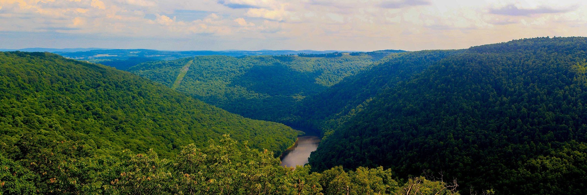 Best of · Mountaineer Country
The Best Hikes at Coopers Rock State Forest
All six Coopers Rock trails with the state's own mileages and ratings, where each one starts, and which walk replaces the closed overlook.
8 min read · October