
Every organization we link to: local tourism offices, the state and federal agencies that manage the land, the nonprofits and clubs that keep access open, and the universities doing the research.
West Virginia has roughly 1.5 million acres of public land and a handful of places that carry almost all of the attention. The consequence is that a great deal of very good ground sits nearly empty, usually for one of three reasons: nobody has heard of it, the road in is gated or rough, or it is undeveloped and has nothing to advertise. Those are the places below — of them across regions.
Almost Heaven Swings
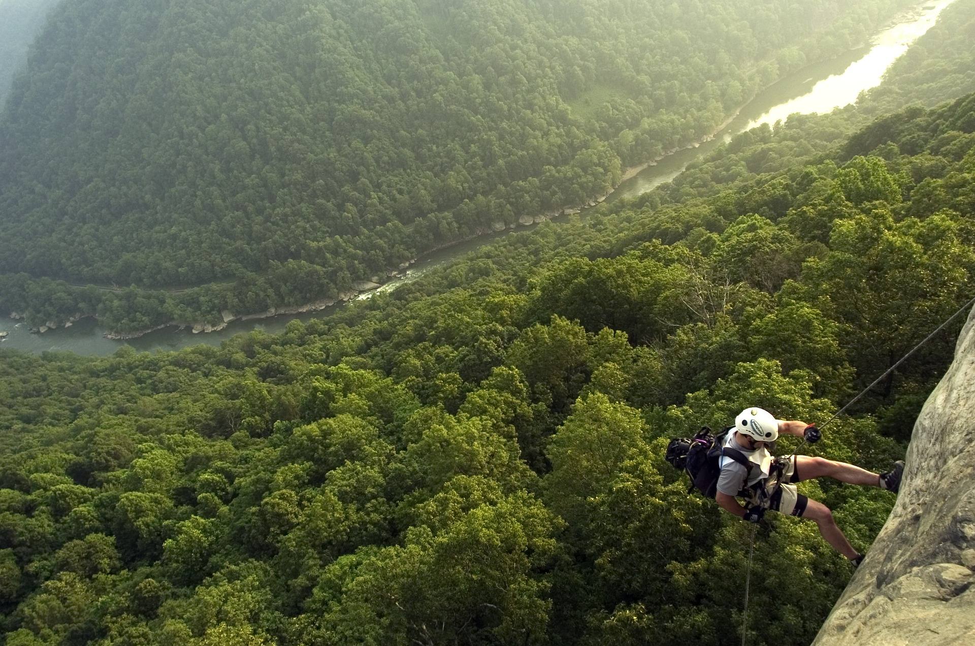
Five hundred feet, and where it sits in the day
Five hundred feet is the number that matters. That is the climb on the connecting trails between the Bluestone River and the Pipestem rim, and it is the whole of the difficulty on a trail otherwise rated easy to moderate.
It also sits in the worst place. You descend it fresh at the start and climb it tired at the end, after however many miles of river walking you did in between. Anybody planning this as an easy day should plan it as an easy day with a climb bolted onto the finish.
No grade, profile or trail length is published for the connectors themselves, only the 500 feet of elevation change. Pipestem Resort State Park is the office to ask if you want to know how that 500 feet is distributed before you go down.
Why the guidebook rating misleads here
The Bluestone Turnpike Trail is rated easy to moderate, and taken on its own that is accurate. It follows the line of an old turnpike along the Bluestone River, which keeps it at river level and essentially flat for its full length.
That rating describes the corridor and not the trip. Getting to a level trail at the bottom of a gorge and getting back off it are the two efforts, and the rating absorbs them without warning you. In this part of the state that pattern is common enough to be worth naming.
The practical version: judge this hike by its access, not its profile. Level footing on the turnpike grade is also what makes it one of the more runnable long trails in the region, with the same caveat attached at the end.
The tram, and what happens when it is not running
A tram runs from the Pipestem rim seasonally. When it is running, it removes the climb entirely, which is the difference between a level river walk and a level river walk plus 500 feet.
When it is not running, walking out is 500 feet of climb. The tram's schedule, operating season, hours and whether it carries bikes or boats are not published on this site. Check with Pipestem Resort State Park before you plan a one-way trip that depends on it, and have the walking option in reserve either way.
This is the single most common way a day here goes wrong. A group descends expecting a ride up and finds the tram down for the season, which turns a casual outing into a climb at the end of the afternoon.
Where the trail starts, and how long it is
Walking starts at the junction of the Farley Loop and the River Trail inside Pipestem Resort State Park, and the route runs through the gorge to Bluestone State Park at the other end. It is a point-to-point between two parks with no road following the gorge.
Its length is not settled between official sources. The trail's own record gives 8.5 miles between the two parks. The Park Service record for Bluestone National Scenic River describes ten miles of protected river with the Turnpike Trail running the length of the gorge, which implies ten. Both figures are official, and this guide has no grounds to choose.
Plan for the longer number and confirm before a one-way day. Pipestem Resort State Park and the National Park Service both cover this corridor, and either can tell you what the trail actually measures end to end.
One way or out and back
Out and back from the Pipestem side is the version with the fewest moving parts. You pay the 500 feet twice, once each way, and you turn around whenever the time says to rather than when a schedule does.
A one-way walk between the two parks needs a vehicle at the far end or a ride, since no road follows the gorge. Solve that before you start walking, and account for the possibility that the tram is not part of the answer.
If you carry a pack, the 500-foot rim climb is easier with a light one. The distance is short enough to walk in a day either way, so an overnight here is about the river rather than the mileage. Confirm with both parks where camping is permitted before you commit, because that is not published on this site.
What the climb buys you
Bluestone National Scenic River protects ten miles of river in a deep, wooded gorge between Bluestone Lake and Pipestem. It is the least-visited National Park Service unit in West Virginia, and the reason is the access: no road follows the gorge, so everyone who gets there walked in or rode the tram down.
The result is an undeveloped river corridor with almost nobody in it. Smallmouth fishing here is excellent and lightly pressured, which is what happens on water that requires a descent to reach. A West Virginia license and current regulations apply, and nothing is published here about what is stocked, so check with the WVDNR first.
Low visitation cuts the other way too. Fewer people means less margin if something goes wrong at the bottom of a gorge with no road and a 500-foot wall between you and the parking lot. Go down early, watch the clock, and ask the Park Service about access and services before you commit to a full day in the bottom.
Reach people planning this trip
Placement alongside guides for outfitters, guides, shops and lodging.
List your business hereQuestions
How much elevation gain is the hike out of the Bluestone Gorge?
Does the Pipestem tram run all year?
How long is the Bluestone Turnpike Trail?
Can you camp in the Bluestone Gorge?
Read next
 Destination · New River Gorge
Pipestem Resort State Park: Hiking and Camping
Pipestem's trails all descend: River Trail's 5.25 miles, the Canyon Rim's 500-foot drop, and the 8.5-mile through-hike to Bluestone State Park.
8 min read · September Destination · New River Gorge
Bluestone National Scenic River: A Complete Guide
How to reach West Virginia's least-visited park unit: the trails down from the rim, the 8.5-mile Turnpike Trail, the fishing and the two paddling reaches.
8 min read · May Destination · New River Gorge
Things to Do in Hinton, West Virginia
Hinton sits on flat New River water below Bluestone Dam: Sandstone Falls, park river access, Bluestone Lake camping, and the Turnpike Trail.
8 min read