
Every organization we link to: local tourism offices, the state and federal agencies that manage the land, the nonprofits and clubs that keep access open, and the universities doing the research.
West Virginia has roughly 1.5 million acres of public land and a handful of places that carry almost all of the attention. The consequence is that a great deal of very good ground sits nearly empty, usually for one of three reasons: nobody has heard of it, the road in is gated or rough, or it is undeveloped and has nothing to advertise. Those are the places below — of them across regions.
Almost Heaven Swings
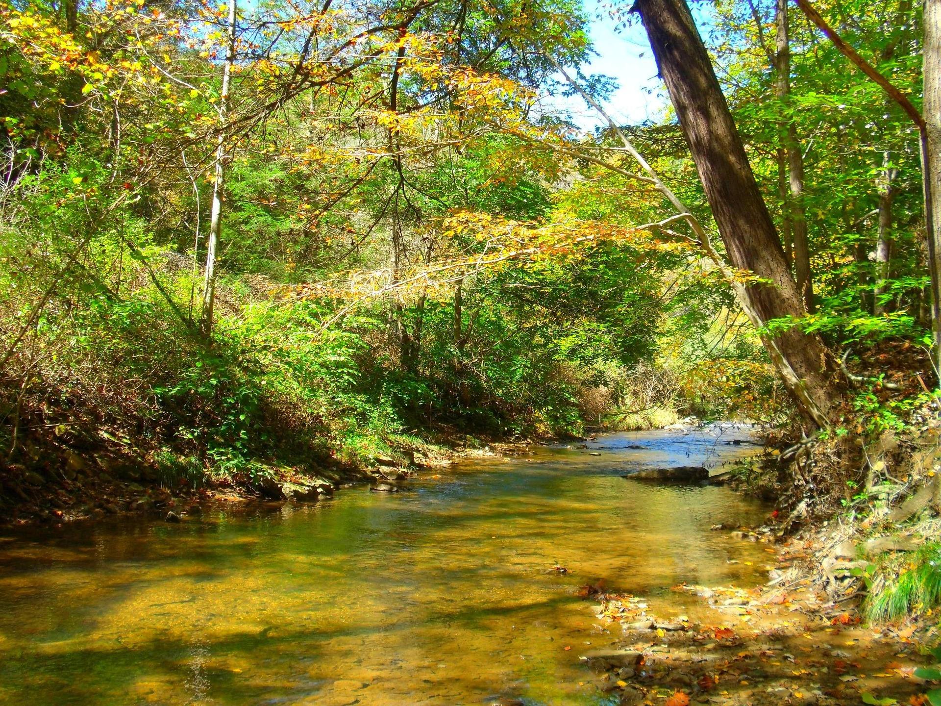
Undeveloped is the whole description
Calvin Price State Forest covers 9,482 acres adjoining Watoga State Park to the south. There is no campground and there are no cabins. Trail marking is minimal or absent. The forest is managed for timber, wildlife and backcountry hunting, and those three purposes explain most of what you will and will not find on it.
This is not a park that has been left to decline. It was never developed in the first place, which makes it a rare thing in the state system: a large block of ground with no facilities to organize a visit around.
The practical consequence is that everything you would normally get from a park — a marked loop, a posted map, a bathroom, a ranger at a gate — you supply yourself or you do without.
Coming in through Watoga
Access is easiest through Watoga State Park, next door to the north, and that is how most parties enter. Watoga has the roads, the parking and the staff; Calvin Price has the acreage.
That arrangement makes Watoga the logical base for a trip into the forest, on a day walk or with a pack for a night out. This record does not describe specific access points, gates or roads on the Calvin Price side, so ask at Watoga where people actually cross over before you pick a starting point off a map.
Navigation instead of trail signs
No mileage is published for the trails on this forest, and what tread exists is marked minimally or not at all. A day out here is a navigation exercise across timber ground rather than a hike along a signed route, and that is the honest way to plan it.
Carry a map and a compass or GPS, and know how to use both in country where a wrong drainage costs you real hours. There is no facility to walk back to if the weather turns.
Anyone who wants maintained, signed tread should walk Watoga's trails instead. That is a straightforward recommendation rather than a consolation: the park next door has the network, and the forest does not pretend to.
Sleeping out, and the rules nobody has published
Because there is no campground, any night spent on this forest is a dispersed one. That is the appeal for people who backpack: 9,482 acres of lightly visited ground with no reservation system to work around.
Nothing about site rules, permits or fire restrictions appears in this record. That gap matters more here than it would at a park with a campground, since there is no posted alternative to fall back on. Contact the state forest office before you count on staying out overnight, and ask specifically about registration and fire.
Water is another unpublished detail. Plan to treat whatever you find and to carry more than you would on a trip with a spigot at the trailhead.
Backcountry hunting is a stated purpose
Hunting is one of the three things this forest is managed for, alongside timber and wildlife, and 9,482 undeveloped acres is a large amount of ground with few other people on it. That combination is the reason a lot of the forest's regular users come.
Seasons, bag limits and licensing are WVDNR's, not the forest's, so check the current regulations there. With no facilities and minimal marking, the same navigation rules apply to hunters as to hikers: map and compass or GPS, and a plan for getting back out in the dark.
Birding without a checklist
Nothing on this forest is arranged for birders. There are no signed loops, no facilities and no published species list. What there is instead is a large stretch of unbroken, lightly visited timber and wildlife ground, and May is when it is loudest.
Work it the way you would work any unlisted patch: come in through Watoga, navigate on your own, and keep your own records. If you want a starting point with published information behind it, the park next door is the place to begin.
The season, and the valley around it
The use season for this forest runs April through November, and there are no facilities at any point in it. The back half of that window overlaps fall hunting seasons, which non-hunters need to plan around as much as hunters do.
The surrounding Greenbrier Valley gives a trip more to work with. The ground sits on Greenbrier limestone, producing karst: sinkholes, springs, sinking streams and cave systems, several with more than forty miles of surveyed passage. The Greenbrier River Trail runs 78 miles on an abandoned Chesapeake and Ohio logging grade at a gradient under one percent, and the Greenbrier River itself is Class I to II for most of its length. A day of navigation on Calvin Price pairs easily with any of them.
Reach people planning this trip
Placement alongside guides for outfitters, guides, shops and lodging.
List your business hereQuestions
Is there camping at Calvin Price State Forest?
How do you get into Calvin Price State Forest?
How many miles of trail are in Calvin Price State Forest?
Is Calvin Price open all year?
Read next
 Best of · Greenbrier Valley
The Best Hikes in Watoga State Park
Watoga's trails one by one with the state park's own mileages and difficulty ratings, from the 1-mile Arrowhead climb to 5.5 miles of the Allegheny Trail.
7 min read · October
Destination · Greenbrier Valley
Things to Do in Marlinton, West Virginia
What to do from Marlinton: the rail-trail at mile 56, Tea Creek's 44 miles of trail, Seneca State Forest, smallmouth water, and what closes in winter.
6 min read Destination · Greenbrier Valley
The Greenbrier River Trail
A guide to the Greenbrier River Trail: trailheads, camping, bikepacking it end to end, tubing alongside it, and the best sections for a day out.
8 min read