
Every organization we link to: local tourism offices, the state and federal agencies that manage the land, the nonprofits and clubs that keep access open, and the universities doing the research.
West Virginia has roughly 1.5 million acres of public land and a handful of places that carry almost all of the attention. The consequence is that a great deal of very good ground sits nearly empty, usually for one of three reasons: nobody has heard of it, the road in is gated or rough, or it is undeveloped and has nothing to advertise. Those are the places below — of them across regions.
Almost Heaven Swings
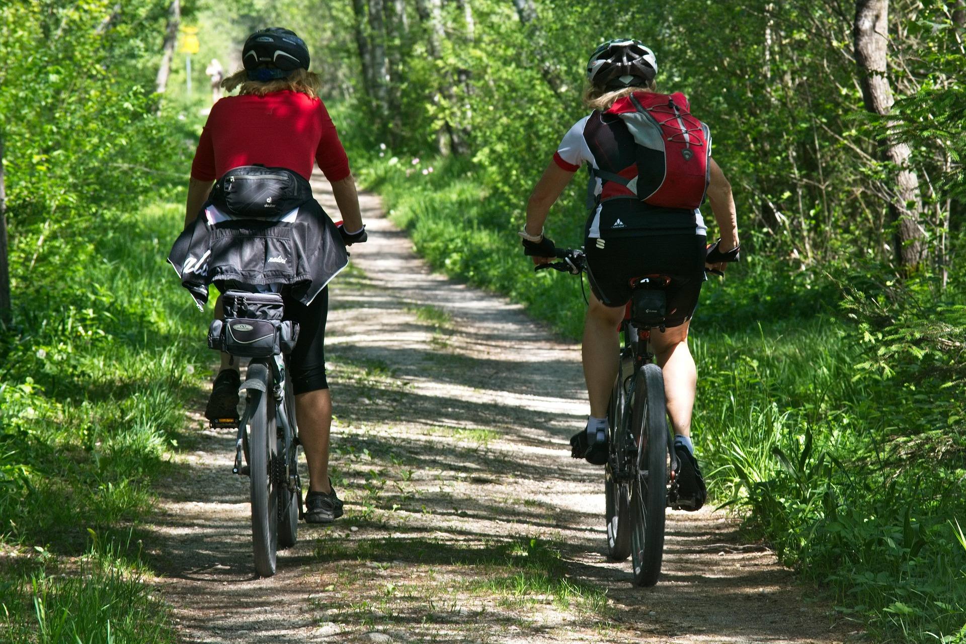
The mountain bike network at Mountwood Park
Mountwood Park in West Virginia is a county park rather than a state or federal unit, and that shows up in the riding in the best way: the trail network is well maintained and signed. Signed matters more than it sounds like it should. Much of the established mountain bike trail in this state is natural-surface singletrack laid over old logging and game trails, and a lot of it is easier to get lost on than to ride. At Mountwood you can turn up without local knowledge and put a ride together from the signage.
What the park does not publish is a total trail mileage, or a difficulty rating trail by trail. There is no official number to plan a day against, so plan by time instead and treat your first visit as reconnaissance. Trailforks is the most current source for West Virginia trail conditions and trail status, and it is the right place to check before you drive — a county park can close or reroute a trail without the kind of announcement a state park makes. Confirm anything that matters with the park itself at mountwoodpark.org.
How the riding rides, and when
West Virginia rates mountain biking as an intermediate-to-advanced activity, and that rating is earned mostly in the mountains: natural surface, rock and root, steep grades, old logging grades that were never built for bikes. Mountwood sits in the Mid-Ohio Valley, where the terrain is lower and less steep than the rest of the state, so the ground here is gentler than the statewide description implies without being flat. Expect natural-surface trail rather than the machine-cut, sustainably graded singletrack being built by the Mountaineer Trail Network in the north and the Snowshoe Highlands collaborative in Pocahontas County.
The season for mountain biking in West Virginia runs March through November. June is close to ideal here: the ground has drained from spring, the canopy is closed enough to keep the trail shaded, and the network has been ridden in enough after winter that fallen timber has usually been cleared. High summer is humid at this elevation and the lake becomes the better half of the day. Late autumn riding is good until the leaf litter gets deep, at which point the trail surface stops telling you what is underneath it.

Race weekends
Mountwood hosts regional mountain bike races, which is the clearest signal available about the quality of the network — a park does not get handed a regional race on trails nobody wants to ride. It is also part of why the trails stay in the condition they are in, since a course that has to hold up under a race field gets attention that a quiet county trail does not. It has a practical consequence for anyone planning a casual ride, too. On race weekends, parts of the network are given over to the event, parking fills, and a course marked for racing is not a course to explore at your own pace.
Check the calendar before you commit to a weekend, and if there is a race on, consider going to watch instead. Regional cross-country racing is the fastest way to learn a network you do not know, because you can see which lines the fast riders take, where everyone dismounts, and which climb is the one that decides the day. WVMBA organizes riders, races and advocacy statewide and is the place to find out who is racing where. If you would rather ride than spectate, a weekday visit gets you the whole park more or less to yourself, which is the other advantage of a network this far from the state's better-known trail centers.
Fishing and paddling the 50-acre lake
The lake at Mountwood covers 50 acres, and it is the reason the park works for a group where not everybody rides. Fishing and flatwater paddling are both on the park's list of activities, and a 50-acre lake is the right size for a canoe or a kayak — big enough to be worth launching on, small enough to cross and work the far bank in an afternoon. The park does not publish stocking information, launch details, or a fee schedule here, so ask at the park or check mountwoodpark.org before you arrive with a boat on the roof.
The lake also gives the day a shape when the trails are not the point. Ride in the morning, fish through the heat of the afternoon, and the tent is already pitched by the time you want it. Flatwater is also the easiest water to bring a beginner to, since a lake has no current to read and no shuttle to run. For anglers who want moving water and a smallmouth instead, the three forks of the Hughes River are the other option in these counties — quiet Class I water in Ritchie and Wirt, though much of the bank is private.
Camping, disc golf and running the same trails
Camping is on site, which is what separates Mountwood from a trailhead you drive to. The park does not publish a campsite count, its rates, or its opening and closing dates in the material summarized here, and a county park's camping season is worth confirming rather than assuming, so book or ask through the park directly. What the camping buys you is a two-day trip out of a one-day drive, and a second ride on trails you have already learned — which on an unsigned mileage like this one is worth more than it would be somewhere with a published map. It also puts you on the lake at first light.
Disc golf is the other thing here that occupies a whole afternoon, and it is the standard answer for a group that has one member who is finished with bicycles. The trail network also serves trail running, which is a real use of it rather than a listed one — natural-surface trail with signs at the junctions is exactly what a runner in unfamiliar country wants. Hiking is on the park's activity list too, and a walker and a rider on the same network should each expect the other around the blind corners.
Volcano, and the ground the trails cross
The park holds the site of the old Volcano oil town. West Virginia's western counties were oil country in the nineteenth century, and Volcano was one of the towns that came with the boom and went when it passed, which puts Mountwood in a category with very few other mountain bike venues: the network runs over a place where people used to live and work rather than over ground that was only ever timber. The ridges and hollows the trails cross are the same ones the town was laid out on.
That is worth knowing before you ride rather than after. The Volcano site is part of what the park is for, and it is the reason to plan one slow lap or a walk among the fast ones instead of treating the whole visit as training. If you are travelling with someone whose interest in the outdoors is historical rather than athletic, this is the thing that sells them the trip, and it sits on the same ground as the trails rather than being a separate stop with its own drive.
After rain, and what else is close
Natural-surface trail and heavy rain are a poor combination, and the etiquette is settled: riding wet singletrack cuts ruts that outlast the storm by a season. If the network is soaked, do not ride it. Check trail status on Trailforks first, and if the answer is no, the good news is that the Mid-Ohio Valley has hard-surfaced alternatives within a short drive — the North Bend Rail Trail crosses the region on the old Baltimore and Ohio grade, with a surface running from crushed limestone to rougher ballast, and it drains better than any singletrack will.
For an easier day off the bike, North Bend State Park is 1,405 acres on a horseshoe bend of the North Fork of the Hughes River, with a lodge, cabins, campgrounds, and a lake of 305 acres that runs 8.1 miles long under a 10-horsepower limit. It is the wet-weather answer for a group that wants a roof rather than a tent, and it is close enough that a washed-out riding weekend can be salvaged rather than abandoned. Mountwood's own hours, fees and current trail closures are not published in the material summarized here — get those from the park at mountwoodpark.org before you load the vehicle.
Reach people planning this trip
Placement alongside guides for outfitters, guides, shops and lodging.
List your business hereQuestions
How many miles of mountain bike trail are at Mountwood Park?
How big is Mountwood Park?
Is Mountwood Park good for beginner mountain bikers?
When is the best time to ride at Mountwood Park?
Can you camp and fish at Mountwood Park?
What is the Volcano site at Mountwood Park?
Read next
 Guide · Mid-Ohio Valley
The North Bend Rail Trail: A Complete Guide
Riding 72 miles of old Baltimore and Ohio grade end to end: the tunnel count, the surface, trail hours, access points and what to bring.
8 min read · October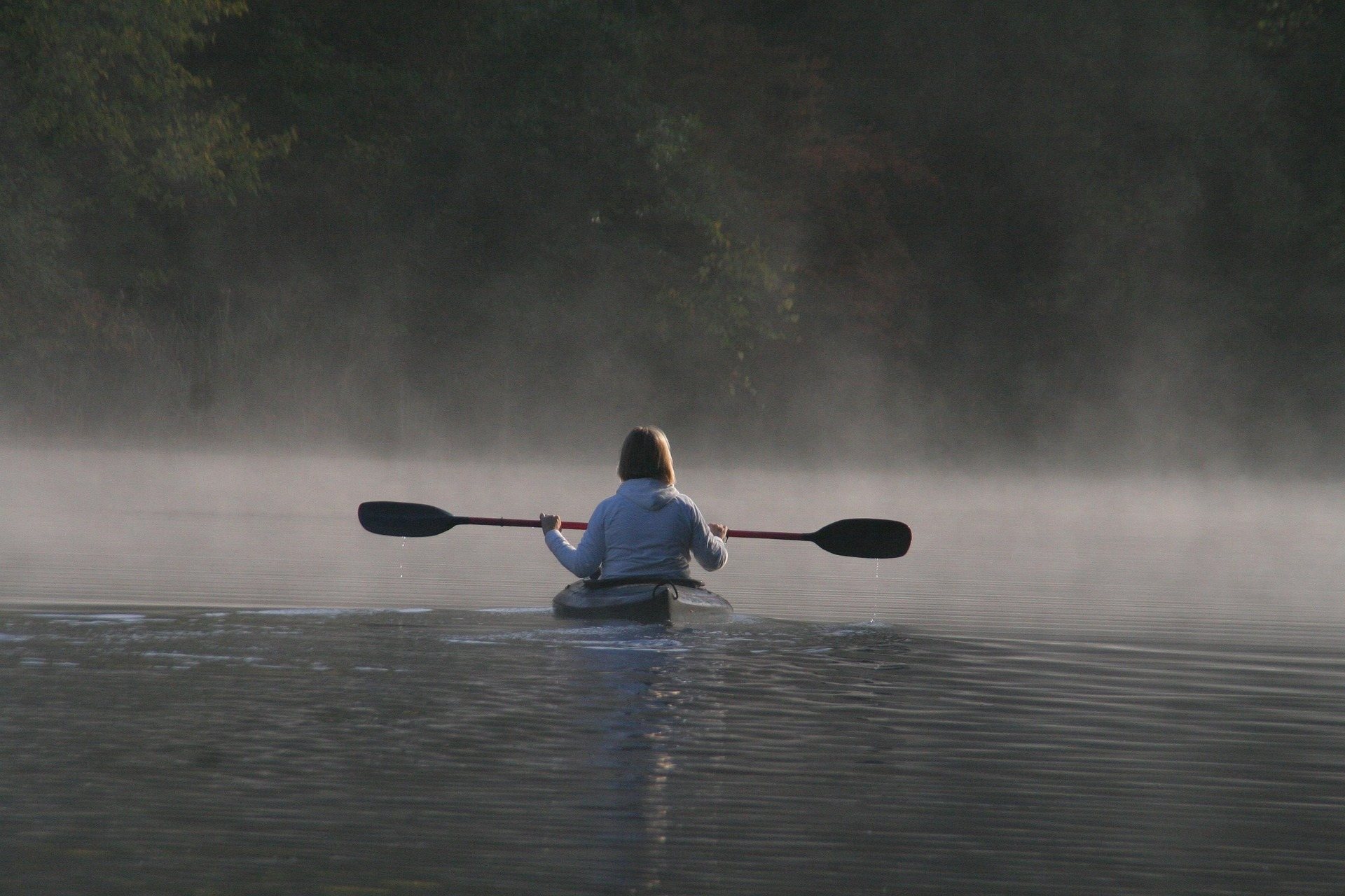 Destination · Mid-Ohio Valley
Things to Do Outdoors in Parkersburg, West Virginia
A river town's outdoor options: a sternwheeler to Blennerhassett Island, refuge islands reachable only by boat, main-stem catfish and a 72-mile rail trail.
8 min read Destination · Mid-Ohio Valley
Ohio River Islands National Wildlife Refuge
How to visit a refuge of 22 islands spread over nearly 400 river miles: which one you can drive to, what the barge traffic means, and why May is the month.
8 min read · May