
Every organization we link to: local tourism offices, the state and federal agencies that manage the land, the nonprofits and clubs that keep access open, and the universities doing the research.
West Virginia has roughly 1.5 million acres of public land and a handful of places that carry almost all of the attention. The consequence is that a great deal of very good ground sits nearly empty, usually for one of three reasons: nobody has heard of it, the road in is gated or rough, or it is undeveloped and has nothing to advertise. Those are the places below — of them across regions.
Almost Heaven Swings

The eighteen, and what keeps them empty
Quiet in West Virginia is usually structural rather than accidental. Something stands between a place and casual traffic: no road, a gated forest road, a boat timetable, a landowner's permission, or several miles of rough gravel. Eighteen places on this site are flagged as local knowledge, and in nearly every case the reason is one of those.
On a weekday the filter and the calendar stack. September and October are the busiest period of the year, with lodging in Fayetteville, Davis and Marlinton booked months ahead, so a Tuesday somewhere already awkward to reach is about as empty as public land in the mid-Atlantic gets. Day use costs nothing either way, since West Virginia charges no admission at any of its 35 state parks or 9 state forests.
Places with an access filter
Bluestone National Scenic River is the least-visited National Park Service unit in the state, and the reason is geometry. No road follows the gorge, so you walk in from Pipestem or Bluestone State Park, or ride the tram down. The Bluestone Turnpike Trail along the bottom is rated easy to moderate and the walking is level, but the day's real effort is the descent and the five hundred feet of climb back out if the tram is not running.
Blennerhassett Island Historical State Park is boat access only on a seasonal sternwheeler schedule, so check sailing times before driving to Parkersburg. Roaring Plains West Wilderness holds the same bog, heath and wind-flagged spruce as Dolly Sods next door with a fraction of the people, because Forest Road 70 is gated outside the autumn hunting season. The Sinks of Gandy is on private land in Randolph County, unsigned, reached only with the landowner's permission and walked end to end rather than toured.
State parks and forests that do not fill
Moncove Lake State Park has visitation among the lowest in the system, and an adjoining wildlife management area adds hunting and hiking acreage to a small park. Cabwaylingo State Forest is among the least-visited units in the system altogether: CCC cabins, a fire tower and a large quiet forest named for the four counties it borders.
Calvin Price State Forest is undeveloped on purpose, with no campground, no cabins and minimal trail marking across 9,482 acres, so most people who use it walk in from Watoga next door. Camp Creek State Park and Forest works the other way, a small developed park inside a much larger state forest, so the trail network runs past what the park's acreage suggests. Carnifex Ferry Battlefield State Park is the easy entry here: a quiet rim with a rare view into the Gauley canyon, a few miles upstream from the busiest whitewater in the state.
High ground for a hot week
July and August are humid and hot below 2,500 feet, which makes elevation the whole strategy. Kumbrabow is the highest state forest in the state, red spruce at the top of Rich Mountain reached on rough gravel, and cool in August when the rest of West Virginia is not. Its cabins rent without electricity, in the rustic half of the system.
Canaan Mountain Backcountry is the closest real backcountry walking to the Canaan Valley lodges, an unusual pairing of a bed nearby with nobody on the trail, and it holds snow when the valley floor is bare. Laurel Fork Wilderness sees very low visitation even on holiday weekends, partly because beaver work floods sections of the valley-bottom trail. Treat wet feet as the price of admission there.
Basecamps locals use
Stuart Recreation Area is a CCC-built basecamp on the Shavers Fork that locals use for the Otter Creek and Cheat Mountain country, ten minutes from resupply in Elkins. Summit Lake is the practical base for fishing the Cranberry and the Williams without driving the Highland Scenic Highway twice a day, with a small campground on the shore.
Laurel Lake Wildlife Management Area holds twelve thousand eight hundred quiet acres in Mingo County around a 29-acre lake, with primitive camping at designated sites. Trout Pond Recreation Area contains the only natural lake in West Virginia, a sinkhole pond that rises and falls with the groundwater beside a man-made one most visitors assume is the attraction. Big Bear Lake Trail Center is a fixture of the regional race calendar and one of the oldest riding destinations in the state.
The logistics that decide whether this works
Drive times exceed what the map suggests, because roads follow creeks and ridges rather than straight lines. Sixty road miles can take two hours, and US 219, the north-south spine of the Highlands, is slow and often the only option. Much of this access sits at the end of a forest service road, some seasonally closed and a few hard on a low-clearance car, so check Monongahela National Forest road status first.
Plan fuel deliberately in Pocahontas, Randolph, Pendleton and Webster counties, where long stretches have nothing and what exists may close early or on Sundays. Assume no cell service in the Highlands, the wilderness areas and the gorges, and download offline maps before you leave a signal. Park only where you are told: illegal parking is the single most common cause of access loss, and a full lot means driving on to the next place.
Empty is not the same as easy
Wilderness trails in the Monongahela National Forest are unblazed by design with frequently unsigned junctions, so Laurel Fork and Roaring Plains West both need map, compass and the skills to use them. Rescue often means volunteer squads and a long carry-out, and being the only party out there cuts both ways. In autumn wear blaze orange from October through January on any public land outside a state park, the state forests on this list included.
High-elevation sphagnum bog and heath takes decades to heal from one season of trampling, so stay on trail and boardwalk and camp only on durable surfaces. This site does not publish per-unit visitation counts, so the flags above are qualitative rather than a ranking. WVDNR covers the parks, forests and wildlife management areas, and the Monongahela National Forest covers the wilderness and the forest roads.
Reach people planning this trip
Placement alongside guides for outfitters, guides, shops and lodging.
List your business hereQuestions
What is the least crowded state park in West Virginia?
Which national park site in West Virginia gets the fewest visitors?
Do West Virginia state parks charge an entrance fee on weekdays?
Where can I hike in West Virginia in August without the heat?
Read next
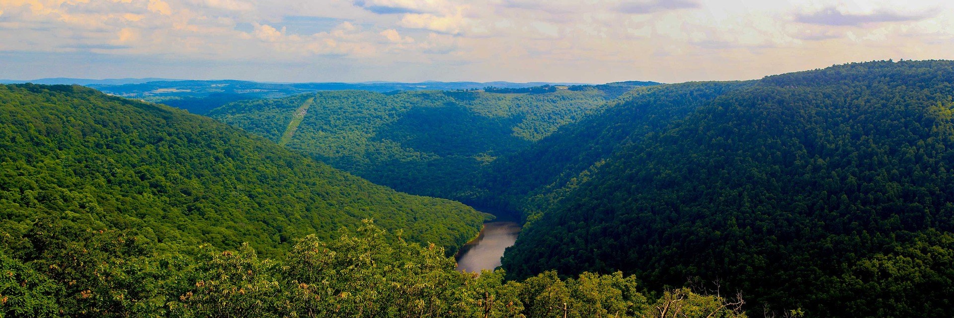 Hidden finds
Hidden Gems in West Virginia
Twenty West Virginia places worth the detour that almost nobody visits: quiet state parks, unpublicised overlooks and the strangest short walk in the state.
9 min read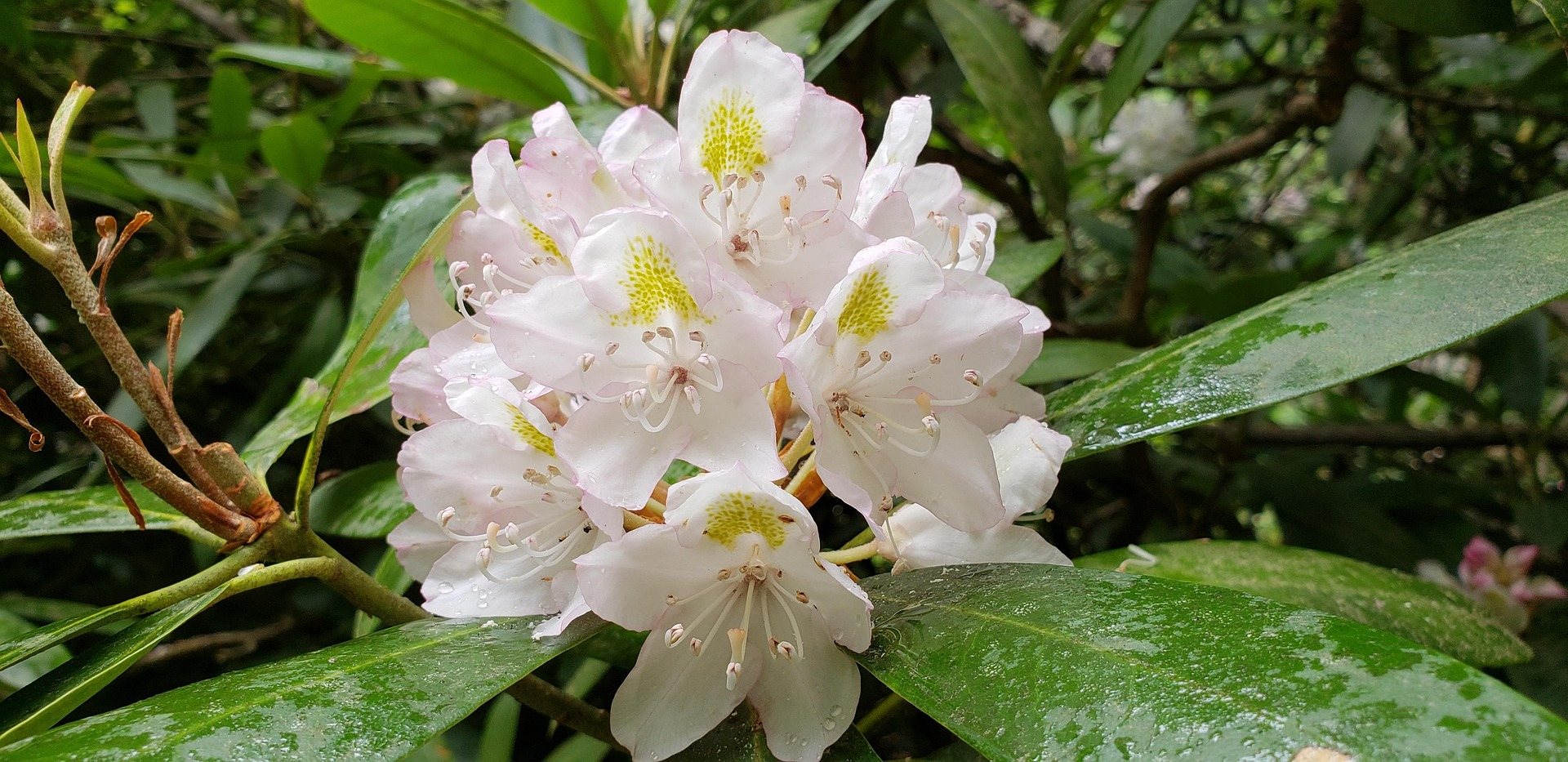 Destination · New River Gorge
Bluestone National Scenic River: A Complete Guide
How to reach West Virginia's least-visited park unit: the trails down from the rim, the 8.5-mile Turnpike Trail, the fishing and the two paddling reaches.
8 min read · May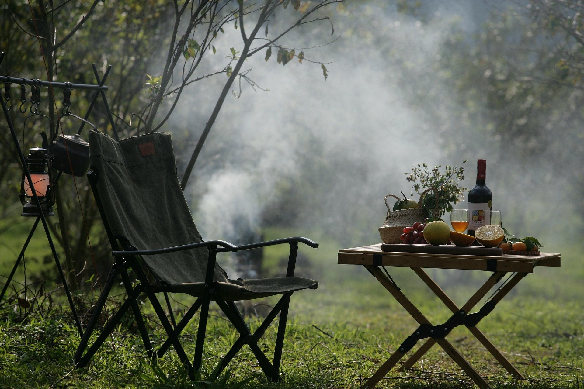 Destination · Eastern Panhandle
Trout Pond Recreation Area: A Complete Guide
The only natural lake in West Virginia, Rock Cliff Lake's beach, the campground fees and season windows, and why the ranger district matters here.
7 min read · June