
Every organization we link to: local tourism offices, the state and federal agencies that manage the land, the nonprofits and clubs that keep access open, and the universities doing the research.
West Virginia has roughly 1.5 million acres of public land and a handful of places that carry almost all of the attention. The consequence is that a great deal of very good ground sits nearly empty, usually for one of three reasons: nobody has heard of it, the road in is gated or rough, or it is undeveloped and has nothing to advertise. Those are the places below — of them across regions.
Almost Heaven Swings
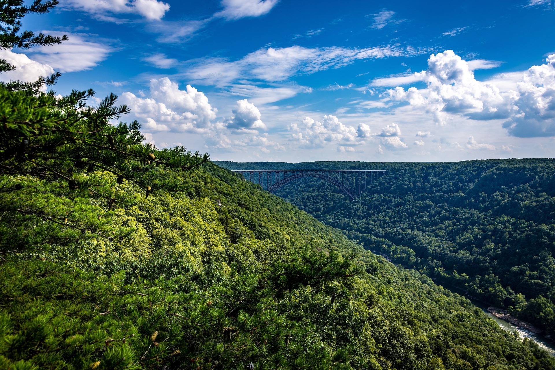
Where the signal actually stops
This site's own guidance is blunt: assume no cell service in the Highlands, the wilderness areas, the gorges and the National Radio Quiet Zone. Around Green Bank that is statute rather than a coverage-map quirk. Radio transmission is restricted by law across 13,000 square miles, and much of Pocahontas County has no service at all.
Everywhere else it is terrain. Wilderness trails in the Monongahela National Forest are unblazed by design and junctions frequently unsigned, and the ridges that hide the trail hide the signal. Download offline maps in Gaia, onX or Avenza before you leave pavement.
For someone walking alone that changes the arithmetic rather than the destination. Nobody is calling for you and you cannot call for yourself. Backcountry rescue in West Virginia often means volunteer squads, a long carry-out and no helicopter option under a canopy in a gorge.
Dolly Sods: 17,371 acres and no blazes
The Sods occupy a plateau largely above 4,000 feet, 17,371 acres of wind-flagged red spruce, heath barrens, sphagnum bog and exposed rock. The openness is not natural: the original spruce forest was logged and the remaining duff burned to bedrock in the early twentieth century. There are 47 miles of trail in all, with Red Creek at 6.4 miles, Blackbird Knob at 4.7 and Rohrbaugh at 3.6.
Two features bite solo walkers in particular. Trails are faint and unblazed with unsigned junctions, so navigation is a skill you bring rather than improvise at a fork. And Red Creek runs tannin-brown with unbridged crossings that can be impassable after rain. A river you cannot cross is a route you cannot finish, and alone there is nobody to talk it through with.
There is no potable water anywhere in the wilderness, so carry it or treat it. The plateau was a live-fire artillery training range during World War II and unexploded ordnance warnings are still posted at trailheads. Camping is prohibited within 300 feet of Forest Roads 19 and 75 except at Red Creek Campground, and the bogs are slow to recover, so pitch on durable surfaces only.
Bear Rocks at sunrise is the classic photograph here, which means arriving in the dark. Forest Road 75 out to it is the most notorious access road in the state, which matters more when you are driving it alone before daylight. Check forest road status before committing.
Cranberry, where alone means genuinely alone
Cranberry Wilderness runs to 47,815 acres, the largest wilderness in West Virginia, with more than 70 miles of maintained trail through second-growth northern hardwood and red spruce. It is unblazed by design and junctions are unsigned. Middle Fork Trail is 9 miles and North Fork Trail 7.5, the two longest lines through it.
Black bear density here is among the highest in the state, and the guidance is unambiguous: bear canisters or proper hangs. Groups are capped at ten and the trails are maintained for foot travel only. Six trailheads serve it: Big Beechy, North South-East and Forks of Cranberry off the Highland Scenic Highway, North South-West by Cranberry Campground, and Three Forks and County Line on Forest Road 86.
Route 150 is not plowed in winter, which closes the Highland Scenic Highway trailheads for months and leaves the Forest Road 86 side as the way in. On a first solo outing the Cranberry River road corridor gives simpler access to the fishing without committing to the interior.
The Quiet Zone as a low-commitment version
Green Bank Observatory sits at the center of the Quiet Zone with the world's largest fully steerable radio telescope, 485 feet tall. Cell service is absent across much of Pocahontas County here not because of ridges but because transmitting is restricted by law, which is a different and more reliable kind of absence.
Anyone testing how they feel about being out of contact can do it from a car park. The science center and tours run daily in season, astrophotography conditions are exceptional, and the new moon is what to plan around. Nearby, Watoga State Park holds an International Dark Sky Park designation, and Droop Mountain and Calvin Price benefit from the same restrictions and the region's very low population density.
The margin a solo walker has to build in
Highlands weather is not mid-Atlantic weather. Dolly Sods and Canaan Valley regularly run twenty degrees colder than the valleys, with wind and driving rain in June, and hypothermia is a real risk in any month. Cotton, wind and a long exit is the combination that puts people in trouble. Carry insulation and a shell regardless of the forecast at your trailhead.
Tell someone your plan and your return time. For a trip out of signal that sentence plus a satellite messenger is the entire safety system, and a messenger is not overkill here. Plan fuel deliberately in Pocahontas, Randolph, Pendleton and Webster counties, where long stretches have nothing and what exists may close early or on Sundays.
Ticks are active any month above freezing and West Virginia has high rates of Lyme disease, so treat clothing with permethrin and check thoroughly after every outing. Timber rattlesnake and northern copperhead both occur statewide, on rocky terrain and warm ledges. Watch your hands on rock and step onto logs rather than over them.
Choosing a month for it
November and December are the strongest window for solitude. Leaves are down, views open up and trails empty out completely. They are also the middle of hunting season on the national forest, so wear blaze orange from October through January on any public land outside a state park.
Winter shifts the problem to access. January and February belong to the snow belt, where upslope snowfall in Tucker and Pocahontas counties produces conditions nothing else in the mid-Atlantic matches, and where an unplowed Route 150 removes half of Cranberry's trailheads. September and October are the busiest period of the year statewide.
Late spring is the compromise. Warblers are on territory in the spruce and the hardwood by mid-May and Dolly Sods is at its peak. July and August are humid and hot below 2,500 feet, an argument for staying high, where the trails are green, buggy and quiet.
Reach people planning this trip
Placement alongside guides for outfitters, guides, shops and lodging.
List your business hereQuestions
Is there cell service in Dolly Sods Wilderness?
Where in West Virginia is cell phone use restricted by law?
Do you need a permit to hike or camp alone in the Monongahela National Forest?
Is it safe to hike alone in Cranberry Wilderness?
Read next
 Destination · Potomac Highlands
Hiking Dolly Sods
A practical guide to hiking Dolly Sods Wilderness: the main trails, route options, why it is navigationally serious, and how to reach Bear Rocks.
9 min read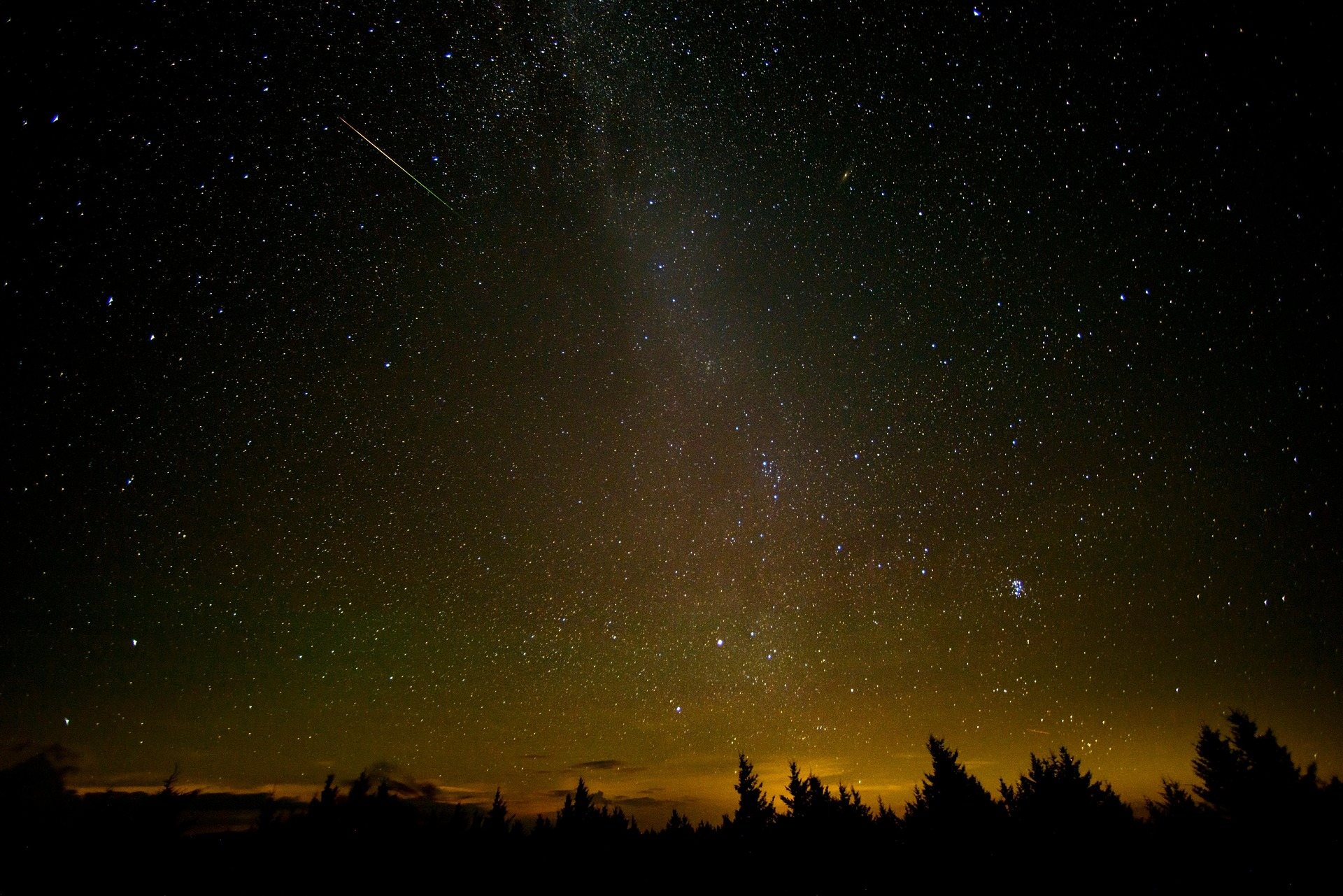 Guide · Greenbrier Valley
Stargazing at Green Bank and the Radio Quiet Zone
What the National Radio Quiet Zone means for a night under the stars at Green Bank: when to go, why your phone stops working, and where else to set up.
8 min read · August Guide · Potomac Highlands
Backpacking the Otter Creek Wilderness
20,698 acres, 45 miles of unmarked trail and repeated unbridged crossings: how to plan an Otter Creek trip around the water rather than the mileage.
7 min read · June