
Every organization we link to: local tourism offices, the state and federal agencies that manage the land, the nonprofits and clubs that keep access open, and the universities doing the research.
West Virginia has roughly 1.5 million acres of public land and a handful of places that carry almost all of the attention. The consequence is that a great deal of very good ground sits nearly empty, usually for one of three reasons: nobody has heard of it, the road in is gated or rough, or it is undeveloped and has nothing to advertise. Those are the places below — of them across regions.
Almost Heaven Swings
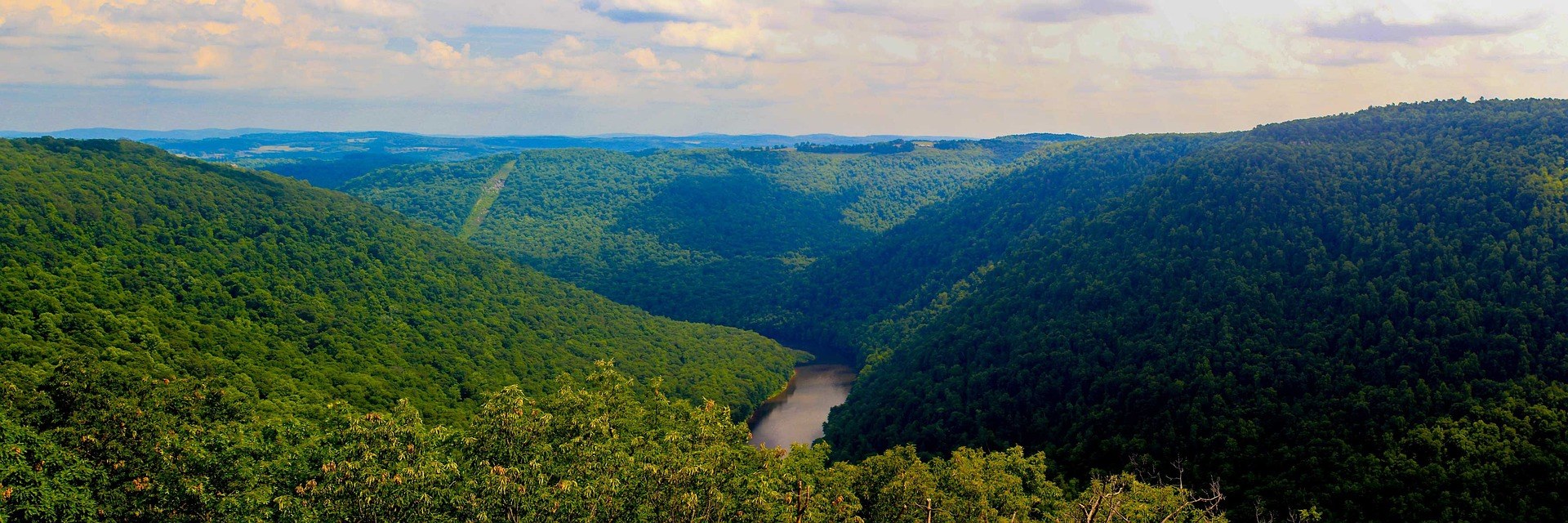
Cheat Canyon is the month's headline
The Cheat Canyon is roughly 11 miles of Class IV-V through a remote gorge below Albright, with named rapids including Big Nasty, Coliseum and Pete Morgan. It is one of the classic big-water runs of the East, and it takes no dam release at all.
That is the catch. The canyon is entirely rain and snowmelt dependent, so the season is short, unpredictable and peaked in spring. Watch the Albright river level, because the run changes character dramatically with flow, and Class IV-V describes it at high water. Commercial trips run in spring when flows cooperate.
There is a step down if the canyon is out of range or out of your grade: the Cheat Narrows above it offers much easier Class II-III water. Cheat Fest each spring is the river community's gathering, and the Cheat's recovery from decades of acid mine drainage, driven largely by Friends of the Cheat, is one of Appalachia's great restoration stories.
Creeking is a daily decision, not a booking
Private boating here is built on rain-fed and snowmelt-fed runs. The kayaking season runs March through May and again September through October, and the March half means the Cheat Canyon, the Blackwater, the Meadow, the Elk and a long list of steep Highlands creeks, with length depending on precipitation.
Watch levels daily through March and April rather than picking a weekend a month out. American Whitewater maintains section descriptions, gradients, difficulty classifications and correlated USGS gauge readings for most West Virginia runs. That is the combination you need: a gauge reading means nothing until you know the range the section wants.
This is intermediate-to-expert water and it is cold. Low-head dams on the Coal, the Kanawha and the Monongahela create hydraulics that are lethal and nearly invisible from upstream, and strainers and foot entrapment kill experienced paddlers. The West Virginia Wildwater Association runs trips and clinics.
Trout water opens with the month
Fly fishing season runs March through November, so March is its front edge. The state divides into limestone spring creeks in the east and freestone mountain streams in the highlands, and stocking ramps up through March and April. WVDNR posts its stocking list by the end of each business day, with a hotline on 304-558-3399.
Check flows before committing a drive. USGS river levels tell you whether a freestone stream is fishable at all, which in a snowmelt month is the difference between fishing and watching brown water. The Elk River's catch-and-release water holds wild browns and a legendary sulphur hatch, and as a tailwater it is less exposed to the melt.
Licensing is straightforward. A license is required at 15 and older, and stocked trout water needs a trout stamp. Special regulation waters, catch-and-release, fly-fishing-only and delayed-harvest, carry rules posted at the access point. Trout Unlimited's Mountaineer and Blennerhassett chapters do the access work.
Waterfalls at their best flow
Falls of Hills Creek puts three waterfalls in three-quarters of a mile, dropping 25, 45 and 63 feet, the lowest of them the second-highest in West Virginia. Round trip is 1.6 miles, and best flow is in spring and after rain, which March supplies.
Know which part you can reach. The trail to the upper falls is paved and accessible; past it the route becomes steep stairs and boardwalk into a mossy shale gorge, and the lower two falls are not. Ice makes winter descent dangerous, and a shaded gorge in early March is still winter, so look at the stairs first.
Blackwater Falls runs hard for the same reason: its 57-foot drop into an eight-mile canyon is fed by the same snowmelt, the water amber with hemlock and spruce tannins. The boardwalk is a quarter mile and more than 200 steps down, with the Gentle Trail as the paved alternative.
The Greenbrier River Trail is the mud-season answer
When singletrack is soup, a railroad grade is not. The Greenbrier River Trail runs 78 miles from Cass to Caldwell on a former Chesapeake and Ohio logging grade, following the river the whole way at under about one percent, surfaced in quarter-inch limestone crusher run with coarser sections remaining.
Its infrastructure is unusually good. It crosses 35 bridges by the state park's count and passes 2 tunnels: Droop Mountain Tunnel, 402 feet, built 1900, at mile 30.9, and Sharps Tunnel, 511 feet, 1899, at mile 65.2. Primitive campsites with privies sit every few miles, shuttles run from Marlinton and Lewisburg, and riders do it end to end in two or three days, north to south from Cass being downhill.
Two practical notes. Cell service is absent for long stretches, and Clawson, at mile 61.2, is reached by five miles of unpaved mountain road, so it is no casual bail-out. The bridge count is unsettled: the trail site counts 37, the state park page 35, and both are official.
Running and riding a technical, wet month
Trail running and mountain biking both open in March and run through November. Expect slower splits than road-equivalent effort suggests: the footing is rocky, rooty, steep and technical, and rewards patience over speed. West Virginia Mountain Trail Runners is the statewide organization, and its race calendar is the way in.
For riding, the terrain divides. Most established mountain bike trail here is natural-surface and technical, on old logging and game trails over rock and root at steep grades, which is what March mud punishes. Newer machine-cut singletrack from the Mountaineer Trail Network and the Snowshoe Highlands collaborative sheds water better. Trailforks is the most current source for conditions.
What March still holds back
The high country is not ready. Trails are muddy statewide, high trailheads may still be snowed in, and forest roads are rough with some seasonally closed, Forest Road 75 to Bear Rocks the worst. Where a trail is wet, walk through it rather than around it: bog and heath take decades to recover from one season of trampling.
Winter has not fully ended either. Downhill and cross-country seasons run December through March, so early March can still be a ski day at Snowshoe, Timberline, Canaan Valley Resort or White Grass, whose upper trails hold snow while the valley floor is bare. Those operators post their own conditions; this site does not publish closing dates.
Reach people planning this trip
Placement alongside guides for outfitters, guides, shops and lodging.
List your business hereQuestions
Can you kayak the Cheat Canyon in March?
When does trout fishing start in West Virginia?
What can you hike in West Virginia in March when the trails are muddy?
Are the high-elevation trails open in March?
Read next
 Guide · Mountaineer Country
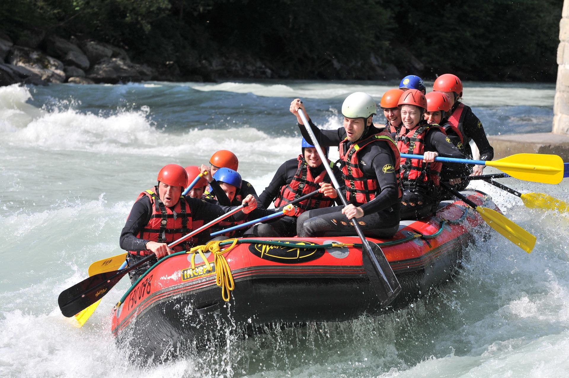
Rafting the Cheat River Canyon
Where the Cheat Canyon run begins and ends, why its class rating differs by which page you read, when it has water, and what camping costs.
7 min read · April Guide · Mountain Lakes
Fly Fishing the Elk River
The Elk's cold tailwater below Sutton Dam, its wild browns and catch-and-release water, the sulphur hatch, smallmouth downstream and how to find access.
9 min read · May Destination · Greenbrier Valley
The Greenbrier River Trail
A guide to the Greenbrier River Trail: trailheads, camping, bikepacking it end to end, tubing alongside it, and the best sections for a day out.
8 min read