
Every organization we link to: local tourism offices, the state and federal agencies that manage the land, the nonprofits and clubs that keep access open, and the universities doing the research.
West Virginia has roughly 1.5 million acres of public land and a handful of places that carry almost all of the attention. The consequence is that a great deal of very good ground sits nearly empty, usually for one of three reasons: nobody has heard of it, the road in is gated or rough, or it is undeveloped and has nothing to advertise. Those are the places below — of them across regions.
Almost Heaven Swings
Short distance, no published rating
Endless Wall is a 2.4-mile point-to-point trail along the gorge rim. That is the figure a difficulty question usually hangs on, and doubled as an out-and-back it is still a walk most people finish inside a morning.
No difficulty rating and no elevation gain figure appear in this site's record for the trail. The National Park Service manages it as part of New River Gorge National Park and Preserve, and its conditions page at nps.gov/neri carries park alerts and road and trail status. That is the place to check for a current rating or a closure rather than a grade we would have to invent.
You need no permit to hike it. Federal day-use fees in West Virginia are the exception rather than the rule, appearing mainly at Corps of Engineers day-use areas and a handful of national forest recreation sites, and the America the Beautiful pass covers them where they apply.
Two trailheads and one car
A point-to-point trail with two ends is a logistics problem before it is a fitness problem. The two published options are parking at Fern Creek and walking the road back to your car, or setting a shuttle to Nuttall. Either way your walking total exceeds the trail number.
The road walk puts pavement at the end of the hike, which is worth deciding on before your legs are tired. A shuttle removes it but needs a second vehicle. Turning around at Diamond Point and retracing your steps avoids both and keeps the day on trail.
Park where you are told. Illegal parking is the single most common cause of access loss at climbing areas and put-ins in this state, and this trailhead serves both hikers and climbers. If the lot is full, go somewhere else. Getting there is slower than a map suggests, too: sixty road miles can take two hours here, and US 19 through Fayetteville is the main artery of the gorge.
Shade, rhododendron and one footbridge
Most of the 2.4 miles run closed in through hemlock and rhododendron, and the corridor stays shaded almost the whole way. That matters in July and August, when everything below 2,500 feet in West Virginia is humid and hot. A hiker expecting continuous gorge views will spend most of the walk looking at trees, so set expectations on the outcrops rather than the corridor between them.
The trail crosses Fern Creek on a footbridge, so that crossing is not a ford, and no other creek crossings are named. Rock and root under wet rhododendron is the footing to think about after rain, though nothing about seasonal surface condition is published.
Rhododendron thickets, rocky terrain and warm ledges are exactly where timber rattlesnakes and northern copperheads turn up, and both occur statewide. Bites are rare, but watch your hands on rock and step onto logs rather than over them. Ticks are active any month above freezing, so treat clothing with permethrin before a summer walk.
Diamond Point and the unprotected edges
The trail reaches Diamond Point, an exposed rock outcrop with a view up the gorge to the bridge. Standing on open sandstone above a gorge is the part of this hike that raises difficulty for families and for anyone uneasy with height. The exertion is modest; the exposure is not.
Climber access ladders drop off the rim along the way, and the guidance is direct: stay back from unprotected edges. Nothing in the record describes railings or barriers at the outcrops, so plan on managing children and dogs yourself. That single fact answers the difficulty question better than any mileage figure.
Consequences here are worse than the distance implies. Backcountry rescue in West Virginia often means volunteer squads, long carry-outs and no helicopter option under a canopy in a gorge, and you should assume no cell service in the gorges. A short trail is not a forgiving one. Photographers should keep tripods well back, since the outcrops are also the only places the frame opens up.
Walking above a working climbing wall
The Endless Wall below the trail is a continuous band of Nuttall sandstone holding a large concentration of established sport routes. Nuttall is the hard, sharp, quartz-rich caprock of the gorge, named for the Nuttallburg mining town, and it gives New River climbing its edges and its reputation for stiff grades. Access to the routes is off the rim by ladders, which is precisely why the edges up top are hazardous for hikers.
No permit is needed to climb at the major areas, but access here is not uniform. New River Gorge cliffs sit on a patchwork of National Park Service, state and private land, and some crags close seasonally for raptor nesting or by landowner request. The New River Alliance of Climbers access database is the authoritative source, and the park publishes its own climbing rules.
The season runs roughly March through November, and this is not beginner rock. If you are hiking rather than climbing, expect traffic at the ladder tops and gear staged near the edge. Give people room and leave the ladders alone.
Timing the light, the crowds and a run
Sunrise light hits the far wall and sunset backlights the bridge, which pulls visitors to opposite ends of the day. Both plans involve closed-in forest in low light, so carry a headlamp for either.
September and October are the busiest weeks of the year in the gorge. Humidity drops, rock friction reaches its annual peak, and fall color starts on the highest ridges in late September and works downhill through late October. Lodging in Fayetteville books months ahead for that window, and the trailhead lot fills accordingly.
As a run, 2.4 miles point to point is short: double it out and back, or shuttle to Nuttall. The exposed rock at Diamond Point and the ladders dropping off the rim are reasons to ease off at the outcrops rather than carry speed through them.
Reach people planning this trip
Placement alongside guides for outfitters, guides, shops and lodging.
List your business hereQuestions
How long is the Endless Wall Trail?
Is the Endless Wall Trail difficult?
Is the Endless Wall Trail safe for kids?
Do you need a permit or a fee for the Endless Wall Trail?
Read next
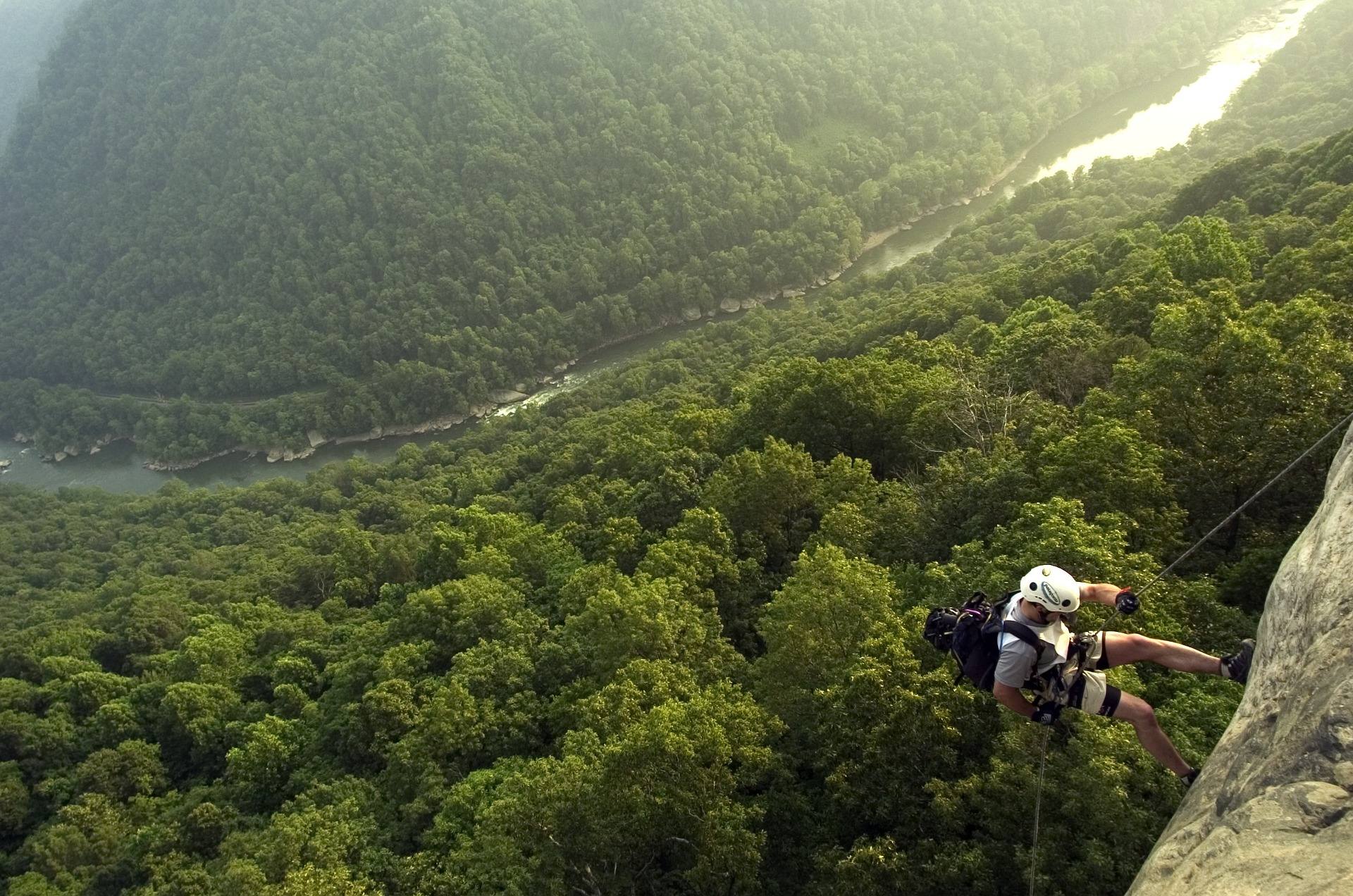 Best of · New River Gorge
The Best Hikes in New River Gorge National Park
Fifteen New River Gorge hikes ranked by what you get for the effort, with NPS distances, parking notes, and the one classic trail that is closed until 2027.
10 min read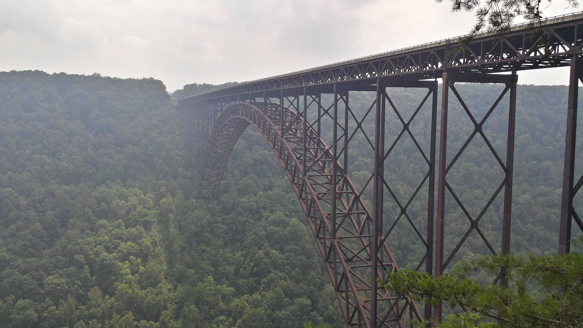 Destination · New River Gorge
Things to Do in New River Gorge National Park
A complete guide to New River Gorge National Park: the best hikes, whitewater, climbing and overlooks, plus where to base yourself and when to come.
12 min read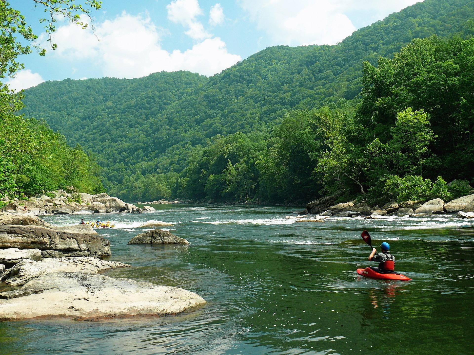 Destination · New River Gorge
Things to Do in Fayetteville, West Virginia
A local guide to Fayetteville, West Virginia: the best hikes and overlooks nearby, rafting and climbing outfitters, and why it is the best gorge base.
8 min read