
Every organization we link to: local tourism offices, the state and federal agencies that manage the land, the nonprofits and clubs that keep access open, and the universities doing the research.
West Virginia has roughly 1.5 million acres of public land and a handful of places that carry almost all of the attention. The consequence is that a great deal of very good ground sits nearly empty, usually for one of three reasons: nobody has heard of it, the road in is gated or rough, or it is undeveloped and has nothing to advertise. Those are the places below — of them across regions.
Almost Heaven Swings
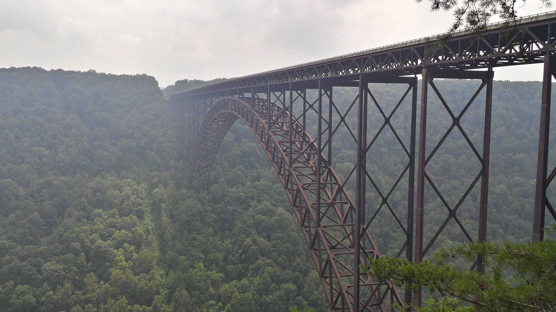
What 3.2 miles means for your afternoon
The distance is the part that is published. Long Point Trail is about 3.2 miles round trip, which works out to roughly a mile and a half out and the same back, on old roadbed that stays flat for most of its length. The National Park Service does not publish a hiking time for the trail, and this guide will not manufacture one.
That leaves the arithmetic to you and your own pace. Level walking in each direction is the kind of distance most people cover without building a day around it, and the record describes the grade as easy rather than as a climb. Add whatever time you plan to spend on the point itself, because the view is the reason for the walk and very few people turn straight around once they are out there.
If you want an official number before you commit, ask the park through nps.gov/neri. Bear in mind that the park groups its trails by what they reach, such as rim views, historic mine sites, or the river itself, rather than by how hard they are, so a posted time or difficulty grade may simply not exist for staff to give you.
Old roadbed, and plenty of company on it
Most of the route follows an old roadbed, which is what keeps the grade gentle and the footing predictable. The walk ends on a rock promontory below the rim, and the park's rim-type trails work this way generally: level walking on old grades, with none of the height loss that trails dropping to the river make you earn back on the return.
Expect other people. The record is explicit that the trail is heavily used, which changes the character of the walk more than the terrain does. On an out-and-back with a single destination, everyone is heading to the same rock, and the arrivals bunch up. Runners using it as an easy out-and-back should plan on yielding rather than holding a pace.
The park does not rate this trail by difficulty. The word easy in the site's own description refers to the grade underfoot, not to an official classification, and the distinction matters if you are comparing Long Point against trails elsewhere that carry formal ratings.
Care matters at the finish rather than on the walk in
Everything gentle about the roadbed stops at the end. The final scramble onto the point is short, and it is exposed. That is the one section worth treating differently from the rest, and it is the reason a flat 3.2 miles should not be read as a walk with no consequence attached.
With children, the sensible plan is to slow down well before the rock and stay close through the last few feet. The scramble is brief enough that there is no advantage to rushing it, and the drop-off is what makes the view what it is.
Photographers should think about load. Carrying a tripod, a long lens, and a full bag up a short exposed scramble is a different proposition from carrying a camera on a strap, and the record singles out that final section as the place where the amount of gear on your back becomes a decision rather than a detail.
Late light on the bridge, and the crowd that comes with it
Long Point holds the most-photographed view of the New River Gorge Bridge, head-on and from below the rim. Late afternoon is when the bridge is lit from the west, according to the trail's record, which is the single most useful timing fact available for planning the hike.
Late afternoon also brings the most people. Those two facts pull against each other and there is no way around it: the hour that gives you the light gives everyone else the same light, on a trail already described as heavily used. Going earlier trades the west-facing light for a quieter rock.
Nothing in the record gives sunrise or morning conditions on the point, so treat late afternoon as the published recommendation and anything else as your own experiment.
Finding the Newton Road trailhead
Newton Road, near Fayetteville, is what the park lists as the trailhead. That is the whole of what the record gives on access, so if you need parking capacity, road surface, or whether the lot fills on weekends, the park is the place to ask rather than a guess printed here.
Directions are where this gorge causes real trouble. Mapping apps misroute inside it, which the park states plainly, so carry the official park map instead of trusting a phone to deliver you to a trailhead. This is not a general caution about signal; it is a documented routing problem in this specific landscape.
The park charges no entrance fee, though campgrounds and commercial rafting are priced separately. Budget driving time if you are combining Long Point with anything else in the park. There is no loop road and no single entrance, and the separate access points can be forty minutes apart from one another.
Two other rim trails with a similar kind of walking
Endless Wall Trail is listed at 2.2 to 2.6 miles and is likewise not rated by the park. It runs the rim through hemlock and rhododendron to Diamond Point, where the gorge and the bridge appear in one view. The distance is shorter than Long Point, and the destination differs in what it frames.
Grandview Rim Trail is also listed at 3.2 miles and also carries no park rating. Its overlooks sit above the horseshoe bend of the New, well away from the crowds that gather around the bridge. Same published distance as Long Point, different river and a different set of company.
None of the three comes with an official difficulty grade, which is a feature of how this park documents its trails rather than an omission on any one of them. Compare them by what they reach and how far they run, since those are the figures the park actually publishes.
Reach people planning this trip
Placement alongside guides for outfitters, guides, shops and lodging.
List your business hereQuestions
how long does the long point trail hike take?
how far is the hike to long point?
is the long point trail easy or hard?
where does the long point trail start?
Read next
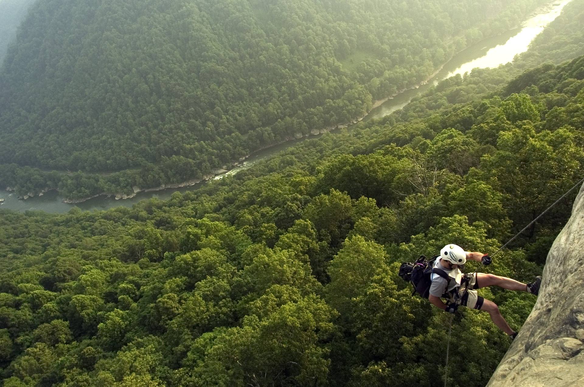 Best of · New River Gorge
The Best Hikes in New River Gorge National Park
Fifteen New River Gorge hikes ranked by what you get for the effort, with NPS distances, parking notes, and the one classic trail that is closed until 2027.
10 min read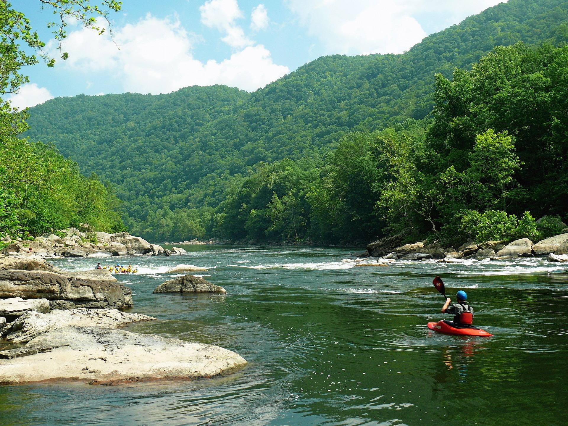 Destination · New River Gorge
Things to Do in Fayetteville, West Virginia
A local guide to Fayetteville, West Virginia: the best hikes and overlooks nearby, rafting and climbing outfitters, and why it is the best gorge base.
8 min read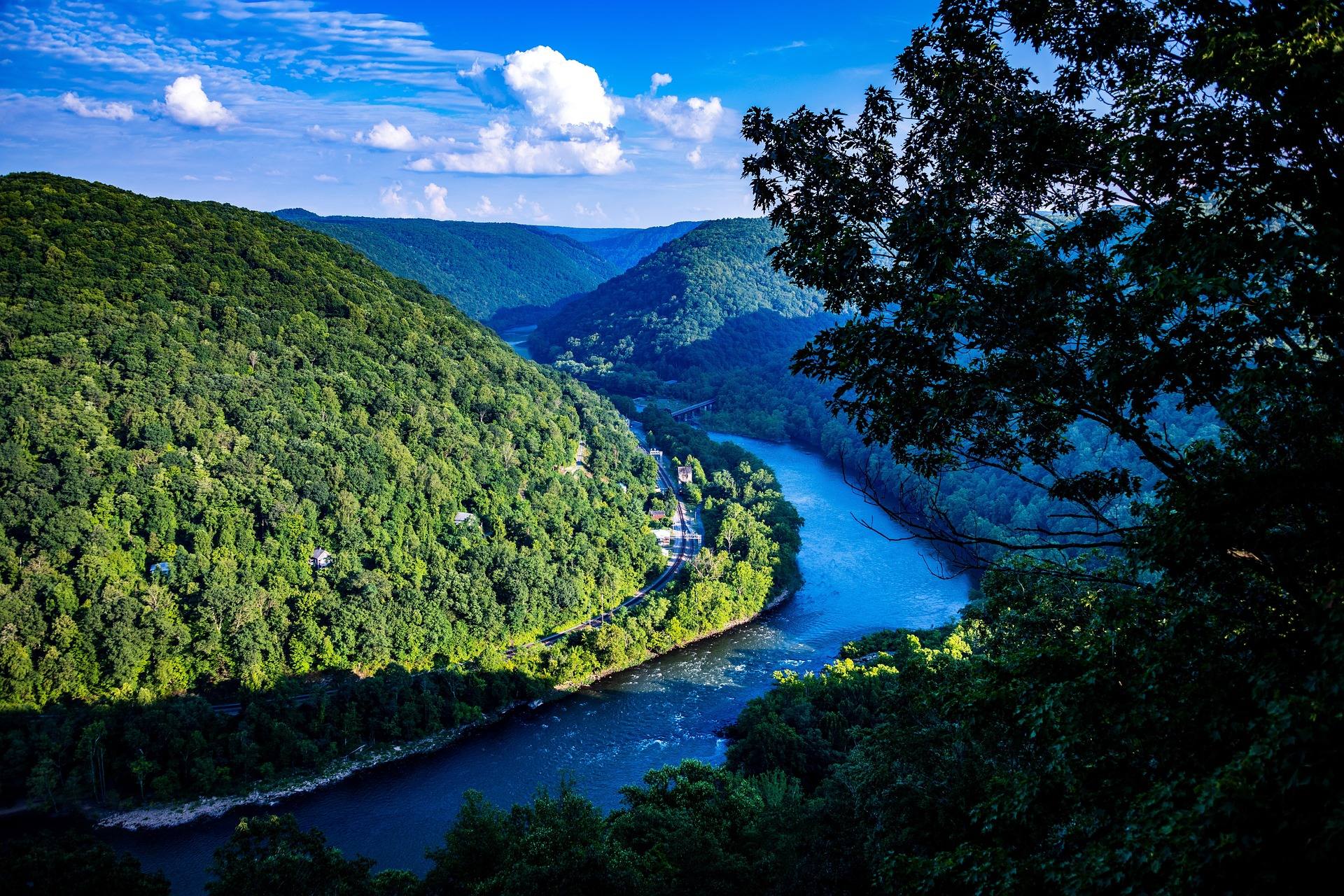 Guide · New River Gorge
Hiking at Grandview in the New River Gorge
The rim trail, Turkey Spur's steel stairs and the late-May rhododendron at Grandview, 1,400 feet above the New River's long horseshoe bend.
7 min read · May