
Every organization we link to: local tourism offices, the state and federal agencies that manage the land, the nonprofits and clubs that keep access open, and the universities doing the research.
West Virginia has roughly 1.5 million acres of public land and a handful of places that carry almost all of the attention. The consequence is that a great deal of very good ground sits nearly empty, usually for one of three reasons: nobody has heard of it, the road in is gated or rough, or it is undeveloped and has nothing to advertise. Those are the places below — of them across regions.
Almost Heaven Swings
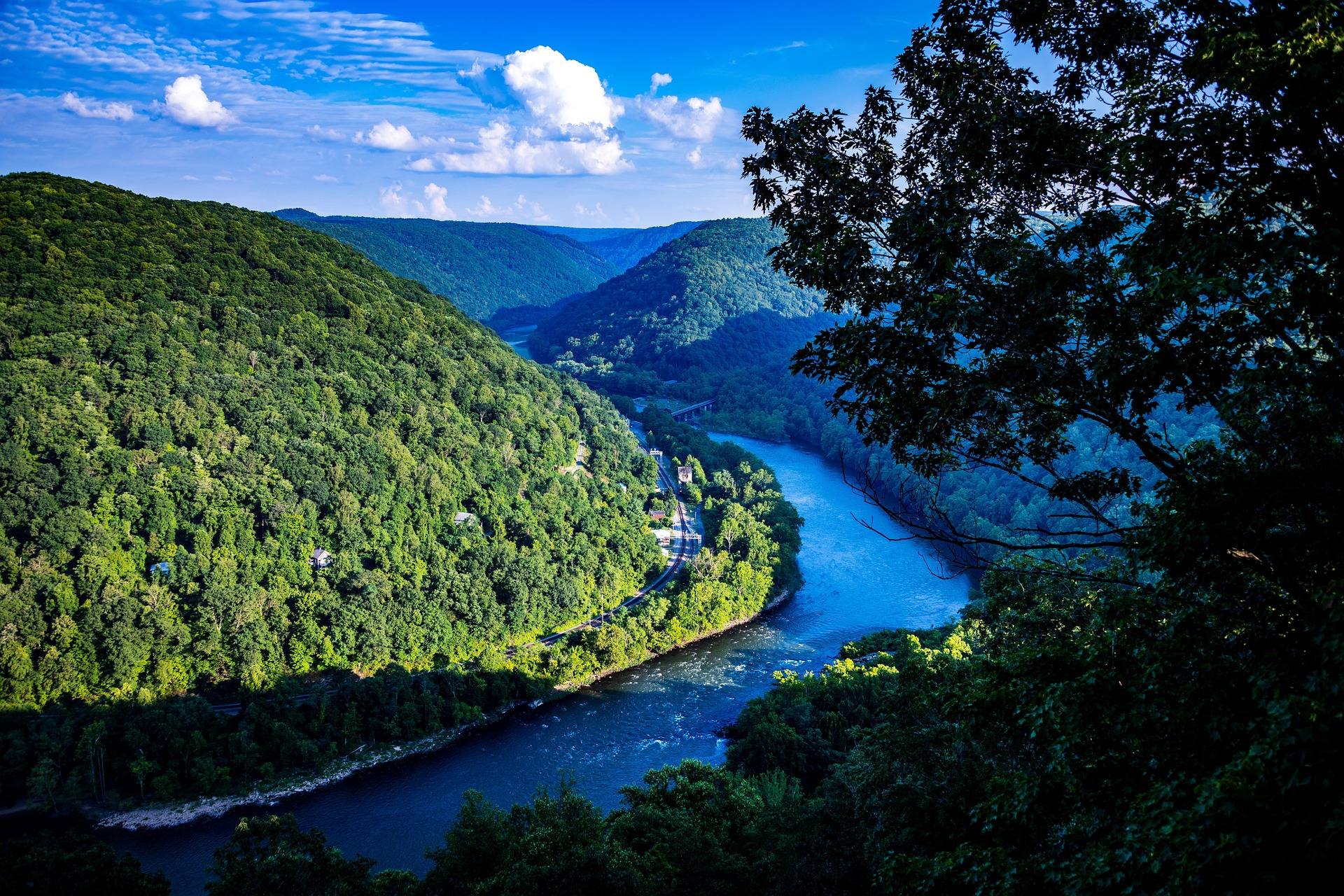
A waterfall built sideways
Sandstone Falls, West Virginia is a river-wide ledge rather than a plunge. The New spills across a rock shelf that spans the full breadth of the channel — roughly 1,500 feet from bank to bank — dropping between ten and twenty-five feet in the process, and it does it in several separate curtains divided by islands. The effect is closer to a rapid seen from the side than to the tall, narrow waterfalls the state is better known for. This is the point where the gorge begins to open out: below here the New has cut about 1,000 feet down through sandstone, and above here it is wide, slow, farm-country river.
The falls sit inside New River Gorge National Park and Preserve, designated in 2020, which protects about 53 miles of the river. The rock is Nuttall sandstone, the same durable stuff that forms the climbing cliffs downstream, and the shelf here is what happens when the river meets a bed of it lying flat rather than standing in a wall. Water level changes the falls more than the season does. High water merges the curtains into one broad sheet; low summer water separates them and exposes shelves of bare rock and gravel between the islands.
The boardwalk, and what accessible means here
The reason this is the most visited stop on the quiet end of the park is the boardwalk. It runs from the parking area at the day-use site to the falls without stairs, and bridges carry it across two islands below the drop, which puts you out over moving water rather than looking at it from the bank. The park lists parking, the boardwalk and those bridges as the facilities here. That combination makes Sandstone Falls the most accessible major natural feature in the national park, and one of very few places in West Virginia where a headline landscape is reachable on a firm, level surface.
What the Park Service does not publish is the detail a wheelchair user actually needs: surface width, running grade, cross slope, or the number of accessible spaces in the lot. That gap is normal for West Virginia — published accessibility detail is often incomplete, and the standing advice is to contact the managing unit directly and ask the specific question rather than trust a web page. Rail-trails elsewhere in the state offer the same firm surface over longer distances if what you want is mileage; Sandstone Falls, West Virginia offers a destination at the end of a short, flat approach.
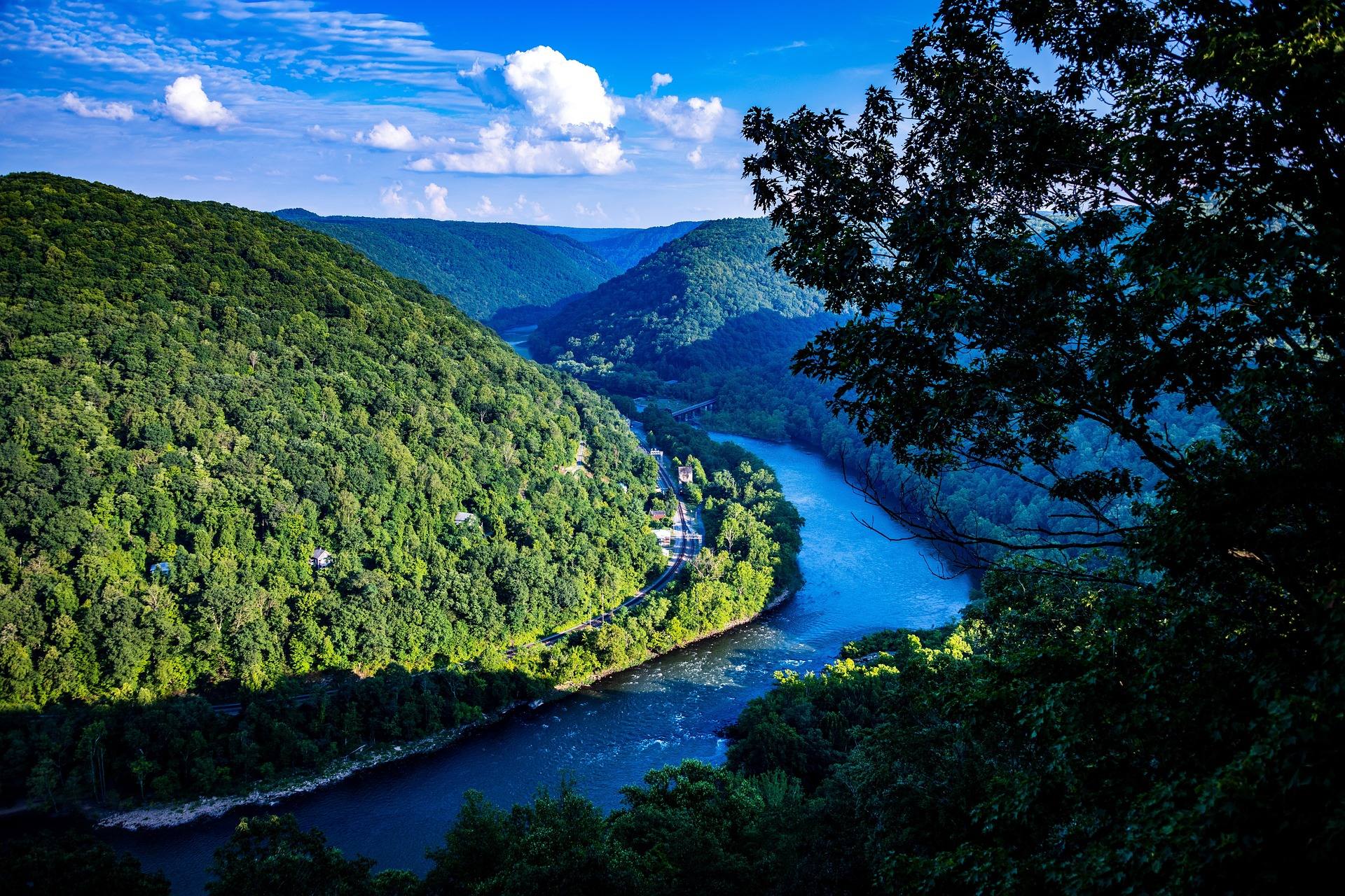
The view from the rim
There is a second viewpoint above the falls, and it shows a different thing. From the rim platform you look down on the whole width at once and can finally see the shape of the ledge, the islands and the channels between them — the aerial version. From the boardwalk you get sound, spray and scale but never the full span. Both are short walks from parking, and doing one instead of the other is how most visitors end up with a partial idea of the place. They are separate stops, too, not two ends of one path: the rim platform is a drive-up above the river, and the day-use area with the boardwalk is down at water level, so seeing both means getting back in the car.
For photography the wide view from above wants the sun off the water rather than on it, and the boardwalk works best when the light is low enough to hold detail in the white water. The hardwood on the slopes turns in October, which is the busiest month on the rim. In June the islands are fully leafed out and green, the water is usually low enough to walk the boardwalk without spray, and the crowds are thinner here than anywhere near the bridge. Water level does more to the picture than the hour does: a high river merges the curtains into one sheet across the whole 1,500 feet, and a low one separates them and lays bare the shelf and gravel between the islands.
Getting to Sandstone Falls, West Virginia
From the interstate, the approach is I-64 exit 139, then WV 20 south into Hinton, then River Road downstream for eight miles to the day-use area. River Road is worth driving for its own sake and it is not a fast road: narrow, low, and pressed between the water and the hillside. Thirty minutes for those eight miles is a realistic allowance, and more if you stop, which you will. There is no park entrance fee. The Park Service does not publish a seasonal closure for the day-use area, but the road is the variable in winter — narrow, low and pressed against a big river, in a state that gets hard freezes and spring rises. Check conditions before a cold-weather drive rather than after committing to the eight miles.
The larger navigation problem is the park itself. New River Gorge has no single entrance and no loop road; it is assembled from separate access points that can be forty minutes apart by car, and mapping apps misroute in the gorge often enough that the official park map belongs in the vehicle. Sandstone is at the upstream end. Canyon Rim, the bridge and the crowds are a long drive north, and Thurmond and Nuttallburg — the coal towns — sit between the two on roads that take longer than their distance suggests.
What else is on this stretch of river
River Road passes several other named park access points on the way down from Hinton. Brooks Falls has a trail, a picnic area and a small boardwalk view of its own, and it is the one with facilities the park actually lists. Tug Creek Beach and Hellems Beach are river access and little else — the park does not publish what is at either. All of them sit on the Bluestone Dam to Sandstone reach, which is Class I–II water, and all of them are free. The Park Service names its access points rather than rating them, so the drive itself is the only reliable way to learn what is at each one.
Fishing is the other reason people come. Smallmouth below the falls is excellent through the summer, and the broken water and gravel bars below the ledge are the obvious place to work. The islands and the shallow margins make this good birding as well, particularly early. If you are moving on the water rather than standing in it, note that the falls are a hard stop: everything above them is flat, and the ledge is not a runnable feature. Below the falls the river picks up into the Sandstone to McCreery reach at Class I–III, so the ledge is also the line between two different pieces of water.
The drowning risk, stated plainly
The water around Sandstone Falls has been the site of several drownings. That is the park's own caution and it is the single most important line in this guide. The danger is not obvious, which is the problem: the shelf is broad, much of it looks ankle-deep, and the current moving across it toward the drop is stronger than a flat, wide river reads from the bank. Wet sandstone is slick, the channels between the islands are deeper than they appear, and there is nothing to catch you between the ledge and the water below it.
The reach upstream carries a related warning. WVDNR advises floating this part of the New in a canoe or on a raft rather than tubing it, from June through August, and the reason is exactly this waterfall sitting downstream of anyone who loses control of a tube. Stay on the boardwalk and the bridges, keep children off the wet rock, and treat the islands as viewpoints rather than swimming access — the bridges exist to put you over the water, not into it. If swimming is the point of the day, the flatwater upstream at Bluestone Lake is what the state points people toward instead.
Reach people planning this trip
Placement alongside guides for outfitters, guides, shops and lodging.
List your business hereQuestions
How wide is Sandstone Falls?
Is Sandstone Falls wheelchair accessible?
How do you get to Sandstone Falls?
Is there a fee to visit Sandstone Falls?
Can you swim at Sandstone Falls?
What is the best time of year to visit?
Read next
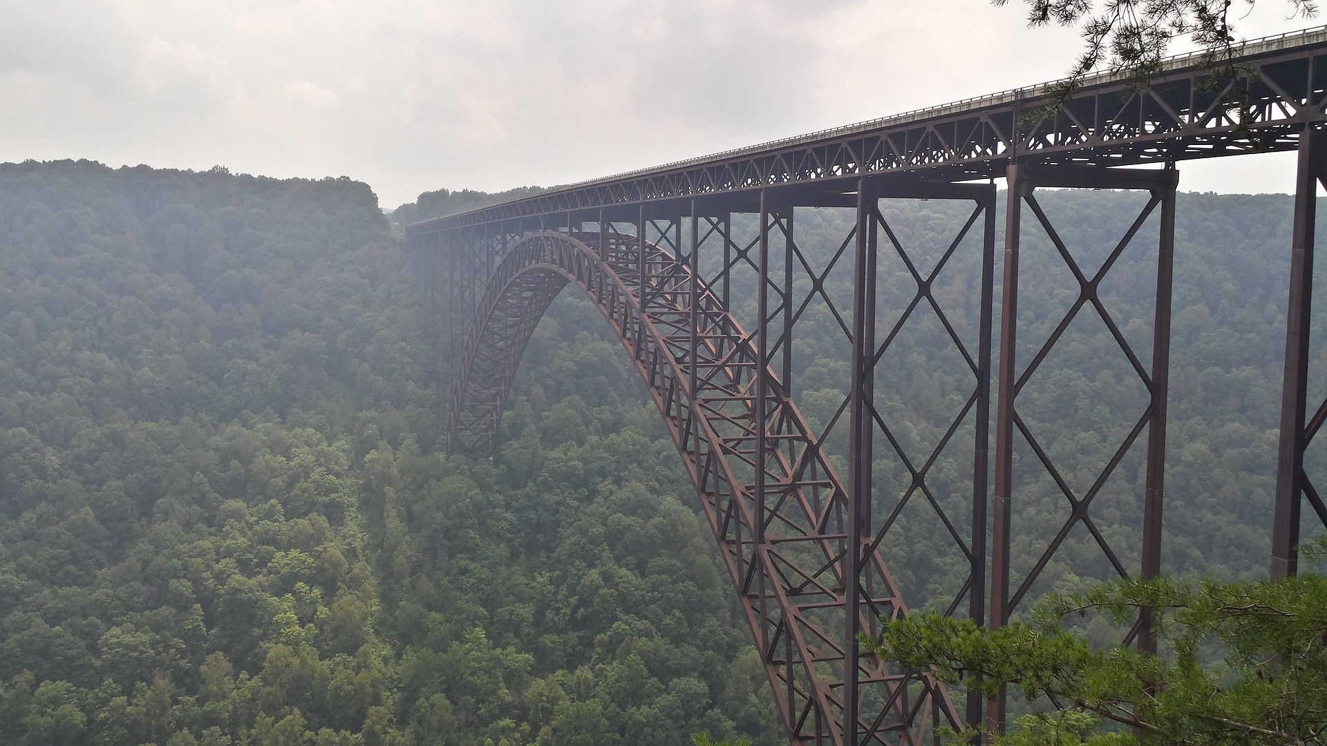 Destination · New River Gorge
Things to Do in New River Gorge National Park
A complete guide to New River Gorge National Park: the best hikes, whitewater, climbing and overlooks, plus where to base yourself and when to come.
12 min read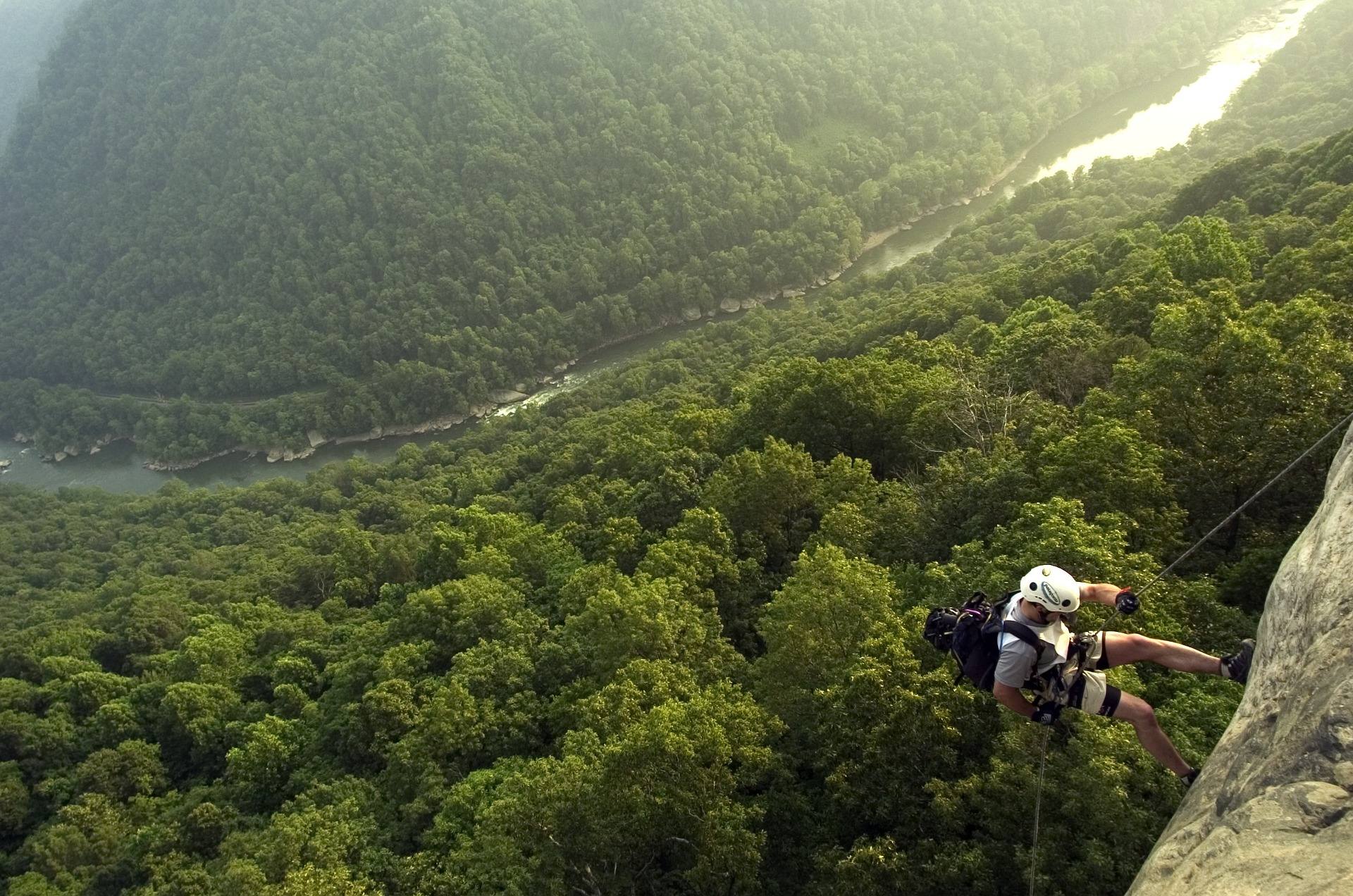 Best of · New River Gorge
The Best Hikes in New River Gorge National Park
Fifteen New River Gorge hikes ranked by what you get for the effort, with NPS distances, parking notes, and the one classic trail that is closed until 2027.
10 min read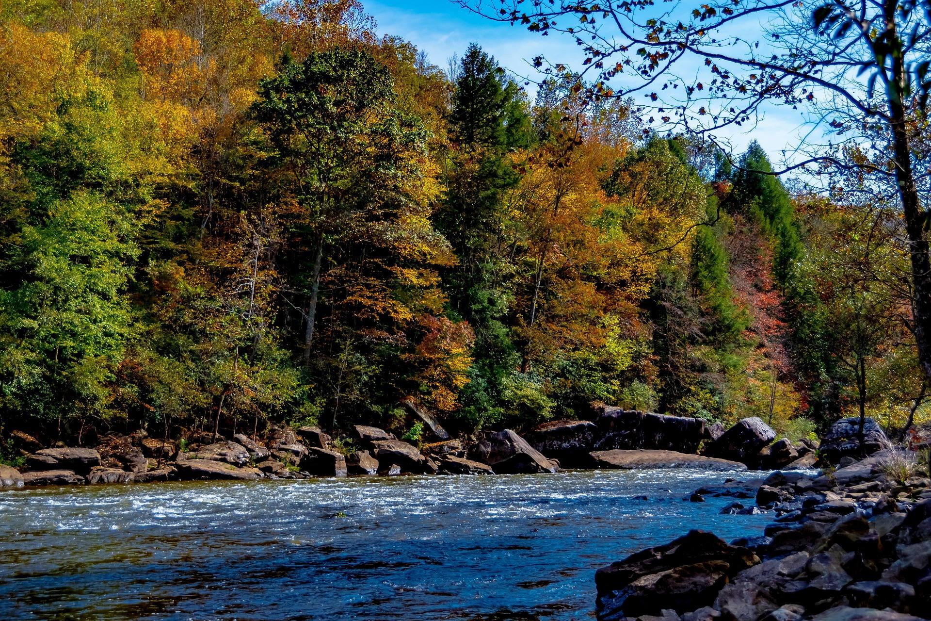 Guide · New River Gorge
Gauley Season: A Complete Guide
Everything to know about Gauley Season in West Virginia: how the dam releases work, Upper versus Lower Gauley, minimum ages, when to book and what to expect.
8 min read · September