
Every organization we link to: local tourism offices, the state and federal agencies that manage the land, the nonprofits and clubs that keep access open, and the universities doing the research.
West Virginia has roughly 1.5 million acres of public land and a handful of places that carry almost all of the attention. The consequence is that a great deal of very good ground sits nearly empty, usually for one of three reasons: nobody has heard of it, the road in is gated or rough, or it is undeveloped and has nothing to advertise. Those are the places below — of them across regions.
Almost Heaven Swings

Why this is the walk right now
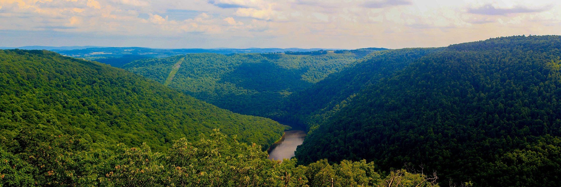
Coopers Rock State Forest is known for one thing above all others: a stone overlook standing about 1,200 feet above the Cheat River Canyon, and one of the most-visited viewpoints in West Virginia. That overlook is currently closed for bridge replacement. Ravens Rock, 1.5 miles out, is the view to walk to instead.
That is the whole practical point of this page. The forest has not lost its canyon view; the two-minute version of it is out of service, and the 1.5-mile version is not. Anyone who was planning to drive up, walk to the rail and drive away should plan on a walk instead.
A note on the name, because it affects what you type: the forest's published facts call it Ravens Rock, and it is widely searched as Raven Rock Trail. Both refer to the same overlook. The site publishes the 1.5-mile figure and nothing further about the route — no elevation gain, no trailhead parking detail, no surface description. The West Virginia State Parks system, which manages the forest, is where to confirm the trailhead and current closure status before you drive.
Where it sits: 12,747 acres above a canyon
The forest covers 12,747 acres above the Cheat River Canyon in Mountaineer Country, minutes from Morgantown and I-68. That proximity explains the crowds: you can watch a forecast and be at a trailhead the same morning without a long drive on gravel.
The rim's 1,200 feet above the river is the number that matters for the view, and it is why Ravens Rock is a real substitute rather than a consolation — both viewpoints look off the same canyon rim.
Day use costs nothing. West Virginia charges no admission at any of its 35 state parks or 9 state forests, a policy set in state code. Fees apply only to specific services such as camping, cabins and rentals.
The rest of the network, and how to build a longer day
Two other named trails carry published figures here. Ken's Run, at 4.5 miles, is the longest single trail in the forest, which makes it the backbone of any attempt at real distance — linking trails is how you extend a day, because no single line goes further. Virgin Hemlock Trail runs 1.2 miles through a grove more than 300 years old, and old hemlocks hold light very differently from an exposed rim, which is worth knowing if you are carrying a camera.
Beyond those three trails and their mileages, the record describes a trail network used for hiking, running, mountain biking and cross-country skiing across the 12,747 acres without naming every route or publishing a total. Ask the state forest office for a current trail map rather than assembling a loop from a third-party app.
Riders get the rocky, rooty natural surface typical of established West Virginia singletrack. Because Morgantown is minutes away, the popular sections see walkers every dry weekend, so ride expecting company. Runners get the same tread and the same 4.5-mile ceiling on a single trail, with the 1.5 miles out to Ravens Rock making a clean turnaround.
The boulders below the rim
Several hundred established sandstone boulder problems lie below and around the rim, the largest concentration in the state. Rock City and Haystack hold the dense clusters. Rock City sits a mile in through a boulder labyrinth from Picnic Shelter #3, which is the access most people mean when they talk about walking to the boulders here.
This is a bouldering forest rather than a roped one. What the record describes is problems, not routes, so anyone arriving with a rack should ask the state forest office what is sanctioned and where. No permit is needed at West Virginia's major climbing areas, but access is not uniform across the state and asking costs nothing.
Even if you are not climbing, the labyrinth walk is a different experience from the rim walk — enclosed, broken ground rather than a canyon edge. Watch your hands on rock: timber rattlesnake and northern copperhead both occur statewide, and warm ledges are where you find them.
Season, friction and blaze orange
Autumn and winter give the best friction on this sandstone, and summer is humid and green. That holds whether you came to boulder or to walk, because the same conditions that make rock grippy make a rim walk clear and cold. Fall color reaches northern West Virginia later than the highest Highlands ridges, which start turning in late September and hand off downhill through late October.
Winter turns the trail network into ski terrain. Nothing here is described as groomed, so plan on touring rather than tracked skiing, and confirm road and gate status first — that is the item that decides a winter visit, not the snow depth.
One thing that separates a state forest from a state park: forests are managed for timber, wildlife and watershed alongside recreation, and Coopers Rock permits hunting in season under WVDNR regulations. Wear blaze orange here from October through January, and put orange on a dog.
Staying, and what the record does not say
Camping is listed for the forest, but no site count, campground layout or booking detail is published here. Ask the state forest office what is open and how reservations work; state park and state forest campgrounds generally reserve through the West Virginia State Parks system up to a year in advance, and dispersed camping is not permitted on state park land.
Morgantown being minutes away makes the forest an easy base regardless of whether you sleep in it. If the boulders are the reason for the trip, Rock City and Haystack are the ends you would drive to each morning.
No timetable for the overlook closure is published. The record states that the main overlook is closed for bridge replacement without giving a reopening date, so check with the West Virginia State Parks system before travelling specifically for the drive-up view. The record itself frames the two-minute walk from parking as what the overlook is like when open, and the closure as current status.
Reach people planning this trip
Placement alongside guides for outfitters, guides, shops and lodging.
List your business hereQuestions
Is the Coopers Rock overlook open?
How long is the Raven Rock trail at Coopers Rock?
What is the longest trail at Coopers Rock State Forest?
Do you have to pay to get into Coopers Rock State Forest?
Read next
 Best of · Mountaineer Country
The Best Hikes at Coopers Rock State Forest
All six Coopers Rock trails with the state's own mileages and ratings, where each one starts, and which walk replaces the closed overlook.
8 min read · October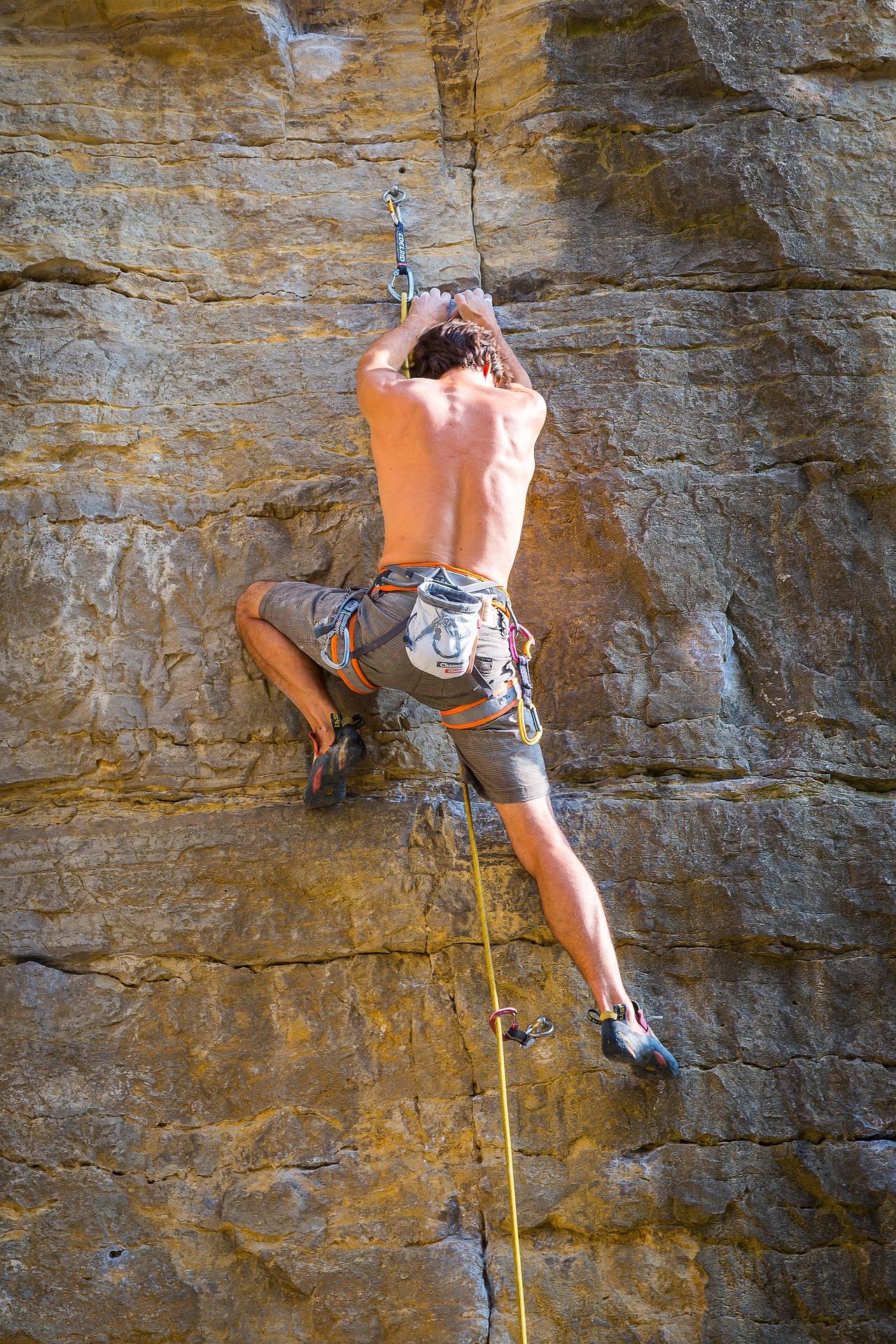 Guide · Mountaineer Country
Bouldering at Coopers Rock
The sandstone boulder fields above the Cheat Canyon: which areas hold the problems, why the season runs cold, and where to park for each.
6 min read · September
Destination · Mountaineer Country
Things to Do Outdoors in Morgantown, West Virginia
A survey of what a Morgantown base actually reaches: 48 miles of rail-trail, a 12,747-acre forest, Cheat Lake, new singletrack and the Cheat itself.
9 min read