
Every organization we link to: local tourism offices, the state and federal agencies that manage the land, the nonprofits and clubs that keep access open, and the universities doing the research.
West Virginia has roughly 1.5 million acres of public land and a handful of places that carry almost all of the attention. The consequence is that a great deal of very good ground sits nearly empty, usually for one of three reasons: nobody has heard of it, the road in is gated or rough, or it is undeveloped and has nothing to advertise. Those are the places below — of them across regions.
Almost Heaven Swings
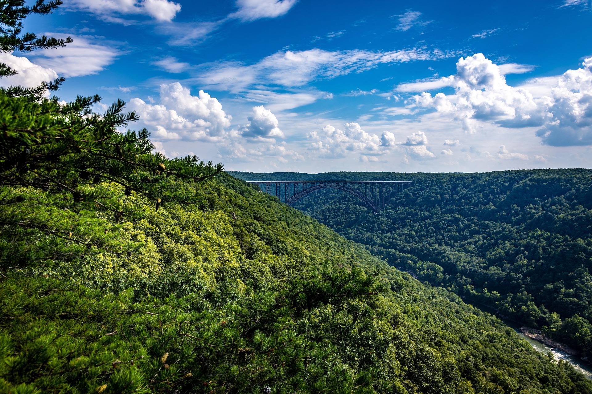
Why the plateau is open
The openness of Dolly Sods is not original. The red spruce forest that covered the plateau was logged, and the duff left behind burned to bedrock in the early twentieth century. Heath barren has held the ground since.
What is designated now is 17,371 acres of federal wilderness, largely above 4,000 feet. Inside it you find wind-flagged red spruce, heath, sphagnum bog and exposed rock, often within a short walk of one another.
Reading the plateau as a record of that century is more useful than reading it as scenery. The bogs are fragile and slow to recover, which is why where you put your boots and your tent matters more here than in hardwood forest below.
Habitat inside a morning's walk
Within a single morning's walk the ground shifts from red spruce to heath barren to sphagnum bog, which is a great deal of habitat turnover for the distance covered. That mosaic is why the plateau repays slow walking as much as long walking.
These are relict boreal communities held over from the last glaciation: red spruce forest, sphagnum bog and heath barrens of a kind more usual in eastern Canada. All terrain in West Virginia above 4,000 feet lies in this region, and this plateau is a large piece of it.
No species list is published for the wilderness. A birder working the habitat edges out here needs navigation as much as optics, because drifting off a faint line is easy when your attention is in the trees.
Unblazed means unblazed
Trails carry no blazes and junctions carry no signs. Map and compass are not accessories on this plateau; they are the reason you get back to the car.
Forty-seven miles of trail exist in all. The record names Red Creek at 6.4 miles, Blackbird Knob at 4.7 and Rohrbaugh at 3.6, and does not itemize the rest. If you need the full inventory before you plan a loop, ask the Monongahela National Forest.
This changes the shape of a plan rather than its distance. Mileage stays honest but pace does not, because time goes into locating tread and confirming junctions instead of covering ground.
Red Creek, and the water problem
Red Creek runs tannin-brown, and its crossings are unbridged. After rain they can be impassable, which turns a planned route into a decision made at the water's edge.
There is no potable water anywhere in the wilderness. Carry what you need or treat what the creek gives you; there is no third option and no trailhead spigot to fall back on.
Build a bail-out into any route that depends on crossing twice. A loop that works in dry weather is not the same loop the day after a storm.
Cold, wind and the ordnance warnings
Weather changes fast at this elevation, and hypothermia is a real risk in any month of the year. On open ground above 4,000 feet that statement covers July as much as January.
Winter compounds the navigation problem rather than replacing it. Snow hides what little tread exists on trails that were never blazed, so a snowshoe day should begin with a willingness to turn around well short of the plan.
The area served as a live-fire artillery training range during the Second World War, and unexploded ordnance warnings are still posted at trailheads. Read them before you walk in, and take them at face value.
Where you can camp
Camping is prohibited within 300 feet of Forest Roads 19 and 75, with Red Creek Campground as the exception. A dispersed night therefore means walking in far enough from the road to clear that buffer.
Choose durable surfaces. Rock and established sites take use; sphagnum bog does not, or recovers so slowly that the damage is permanent at human scale.
Permit requirements, group-size limits and stay limits are not stated in the record. If your trip depends on any of them, put the question to the Monongahela National Forest before you leave.
Bear Rocks at sunrise, and what it costs
Bear Rocks at sunrise is the classic photograph from this plateau, and getting it means arriving in the dark. Whatever way you approach, the last part of the trip happens by headlamp and ends in a cold wait.
What the camera gets is the open plateau: heath, sphagnum bog, wind-flagged spruce, bare rock. All of it exists because the forest was cut and the ground burned, so the picture is of a landscape with a history rather than one never touched.
Layer for standing still. Weather here turns fast enough that an hour of no exertion before first light is the coldest thing you will do all day.
Reach people planning this trip
Placement alongside guides for outfitters, guides, shops and lodging.
List your business hereQuestions
How many miles of trail are in Dolly Sods Wilderness?
Is there drinking water in Dolly Sods?
Do you need a permit to camp in Dolly Sods?
Are the trails in Dolly Sods marked?
Read next
 Destination · Potomac Highlands
Hiking Dolly Sods
A practical guide to hiking Dolly Sods Wilderness: the main trails, route options, why it is navigationally serious, and how to reach Bear Rocks.
9 min read Guide · Potomac Highlands
Backpacking the Otter Creek Wilderness
20,698 acres, 45 miles of unmarked trail and repeated unbridged crossings: how to plan an Otter Creek trip around the water rather than the mileage.
7 min read · June Itinerary · Potomac Highlands
Three Days in the Potomac Highlands
A three-day Potomac Highlands itinerary: Blackwater Falls, Dolly Sods, Seneca Rocks and Spruce Knob, with realistic driving and the forest roads to respect.
8 min read