
Every organization we link to: local tourism offices, the state and federal agencies that manage the land, the nonprofits and clubs that keep access open, and the universities doing the research.
West Virginia has roughly 1.5 million acres of public land and a handful of places that carry almost all of the attention. The consequence is that a great deal of very good ground sits nearly empty, usually for one of three reasons: nobody has heard of it, the road in is gated or rough, or it is undeveloped and has nothing to advertise. Those are the places below — of them across regions.
Almost Heaven Swings
Two waterfalls, almost no approach
Campbell Falls and Mash Fork Falls are both a short walk from the road. That is the reason this place turns up in waterfall searches at all: you park, you walk a few minutes, and you are standing at moving water. Neither drop has a published height, and neither path has a published length, so the park's own phrase is all you have to plan with. If you need something more exact for a child or for anyone with limited mobility, the park office is the place to ask.
Seeing one falls is not a substitute for seeing the other. They are separate drops on the same water, and Camp Creek is the stream that carries both of them through the developed park. Doing both in a single visit costs very little walking.
Water level decides what you get. After rain the falls have volume and noise; in a dry stretch they are a different, smaller subject. Photographers get two distinct sets of falls for almost no approach, which is unusual, and the forest that surrounds the park carries the fall color that frames them.
A 550-acre park wrapped in 5,300 acres of forest
Camp Creek is two units with one name. The developed park covers 550 acres in Mercer County. Around it sits a state forest of 5,300 acres, and the trail network does not stop at the park boundary — it runs well out into the forest side.
That pairing is the practical fact worth carrying into your planning. A 550-acre park sounds like an afternoon. The mileage available on the ground is larger than that, because most of the land here is forest rather than park, and the trails were built to use it.
It also means the character of a visit changes depending on which half you are in. Near the falls you are in a small developed park with road access. Push past that and you are on forest trail, where the surface is natural and the network is not laid out for the benefit of first-time visitors.
Trout in the water that makes both falls
Camp Creek is stocked with trout. It is the same stream that carries Campbell Falls and Mash Fork Falls, so the fishing and the waterfall walking happen along one line of water.
This is small water fished from the bank. Nothing about it suggests a float trip, and the record names no other species. What is stocked here beyond trout, and how often, is not published in this record — the state stocking schedule is the document that answers that, and it is worth reading before you commit to a date.
A stocked creek fishes very differently the week after a truck comes than it does on the day of. Check current licensing and trout regulations with the West Virginia Division of Natural Resources, then time the drive around the schedule rather than the weather.
Bikes, horses, and a network nobody has mapped for you
Mountain bike trails and equestrian trails are both part of what Camp Creek offers, and most of that mileage lies outside the developed park in the surrounding forest. Riders on wheels and riders on horseback should expect to share ground out there.
No route lengths and no difficulty ratings are published for the bike side. Bridle mileage and trailer parking are not published either. That is a real gap if you are hauling a trailer or trying to judge whether a loop suits a beginner, and the honest answer is to call the park office before you load up rather than to guess from a map.
Plan on natural surface and on learning the network in person. Asking at the office which loops ride well, and which ones you will be sharing with horses, will do more for the day than any amount of study beforehand.
Camping, and the counts the park does not publish
There is camping at Camp Creek. The record gives no site count, no layout, and no description of hookups, so anyone trying to match a rig or a group to this place is working without the numbers they need.
What the location does give you is specific: a small developed park inside 5,300 acres of forest, with two waterfalls minutes from a parked car and a trail network that runs past the park line. As a base for a weekend of short walks, wet-weather waterfall visits and forest riding, that is a strong combination.
Settle the details with the park office before you set dates — site types, whether hookups exist, and how reservations are handled. Camp Creek State Park and Forest is a state park unit, and wvstateparks.com is where its official information lives.
A quiet stop in a region known for louder things
This site files Camp Creek under its New River Gorge region, and the comparison is instructive. The New River has cut a gorge roughly 1,000 feet deep through Nuttall sandstone, protected since 2020 as a national park and preserve, with more than 1,600 established climbing routes in the cliff bands — the largest concentration of sandstone climbing in the eastern United States. North of it, the Gauley runs on scheduled autumn releases from Summersville Lake.
Camp Creek asks nothing like that of you. Its two named falls are short walks. Its fishing is bank fishing on a stocked creek. Its long mileage is unrated forest trail rather than a marquee route.
That is the argument for putting it on an itinerary that already includes the gorge: it is the day that costs you nothing in logistics. Just be clear with yourself that the numbers you would normally use to plan — trail lengths, campsite counts, falls heights — are not on the record here, and the park office is the one place that can fill them in.
Reach people planning this trip
Placement alongside guides for outfitters, guides, shops and lodging.
List your business hereQuestions
Does Camp Creek State Park have waterfalls?
How far is the walk to Mash Fork Falls?
How many campsites are at Camp Creek?
Can you fish at Camp Creek State Park?
Read next
 Best of
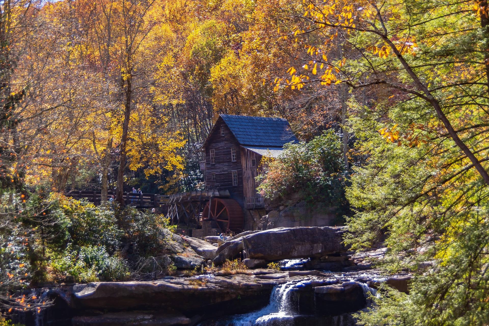
The Best Waterfalls in West Virginia
West Virginia's best waterfalls, from Blackwater Falls and Sandstone Falls to the Falls of Hills Creek, with access notes and the right season for full flow.
8 min read · April Best of
The Best Trout Streams in West Virginia
West Virginia's best trout water: the Elk River tailwater, wild brook trout headwaters, catch-and-release stretches and the spring stocking calendar.
8 min read · April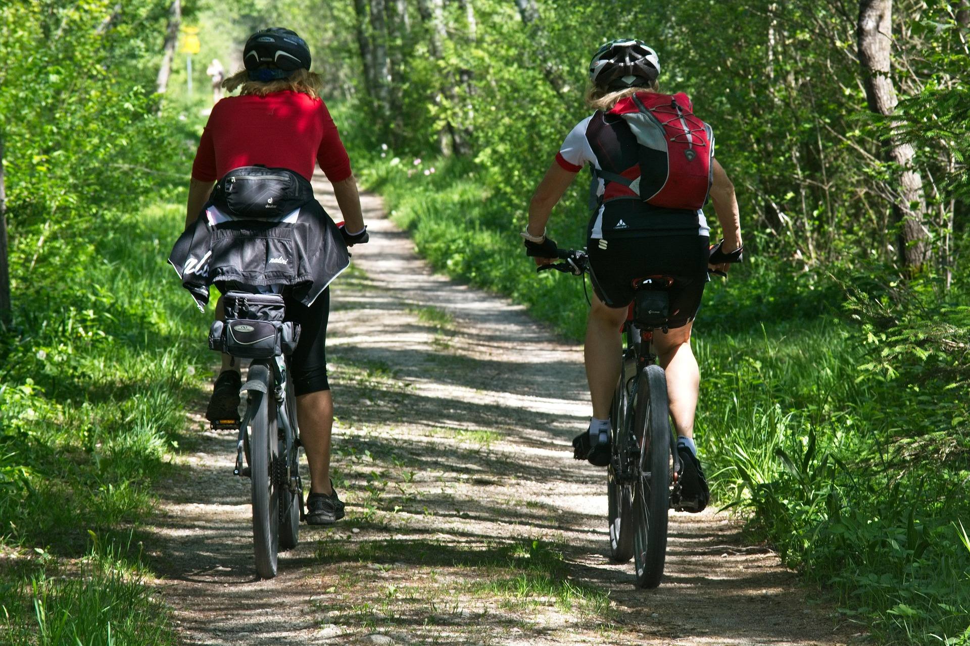 Best of
The Best Mountain Biking in West Virginia
Where to mountain bike in West Virginia: the Arrowhead trails, Canaan and Snowshoe, Hatfield-McCoy, plus rail-trails and gravel in the highlands.
8 min read · June