
Every organization we link to: local tourism offices, the state and federal agencies that manage the land, the nonprofits and clubs that keep access open, and the universities doing the research.
West Virginia has roughly 1.5 million acres of public land and a handful of places that carry almost all of the attention. The consequence is that a great deal of very good ground sits nearly empty, usually for one of three reasons: nobody has heard of it, the road in is gated or rough, or it is undeveloped and has nothing to advertise. Those are the places below — of them across regions.
Almost Heaven Swings
What the river is rated
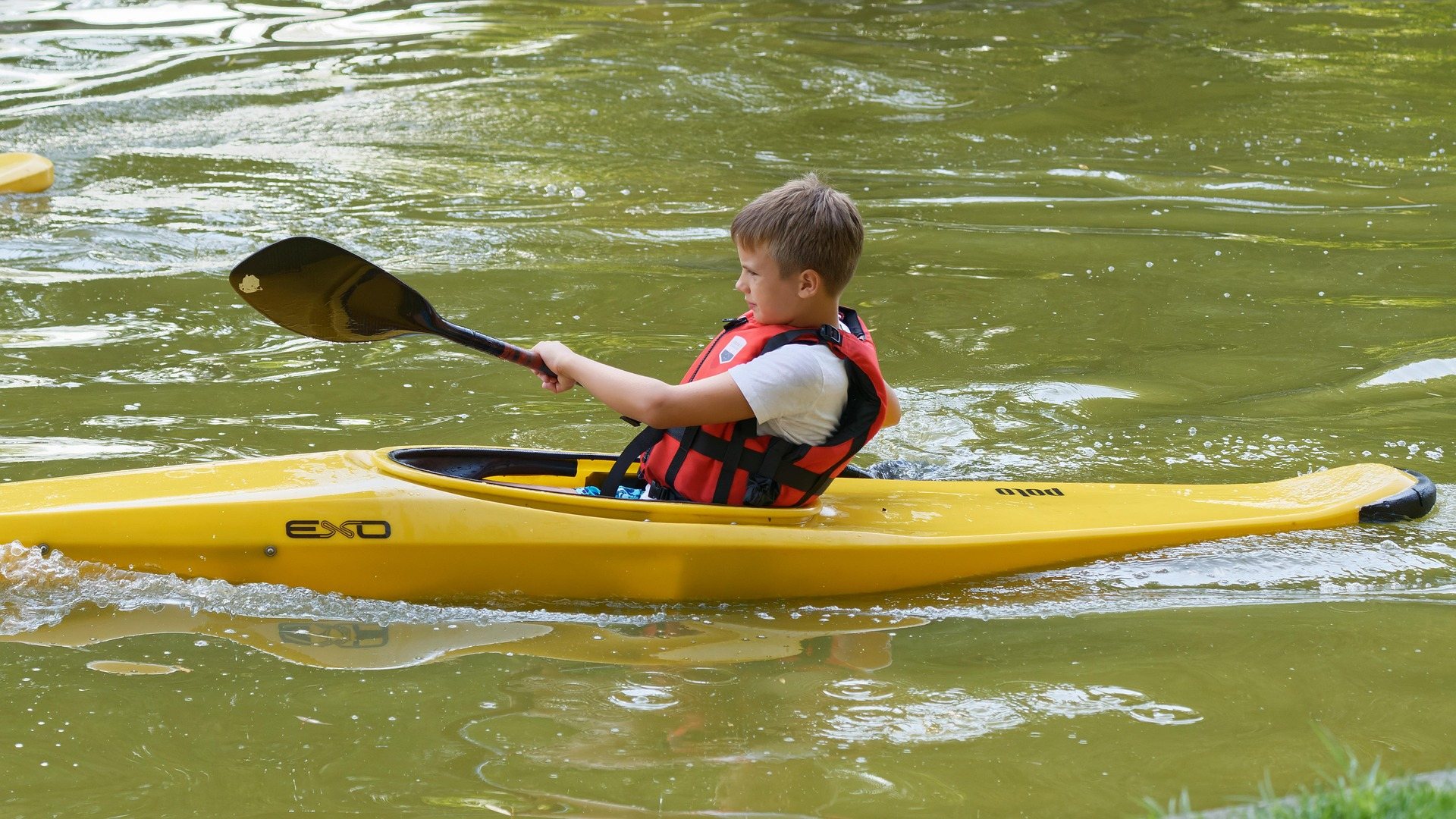
Greenbrier River canoeing is a water-level question rather than a difficulty question. West Virginia State Parks, which manages the rail-trail along the bank and publishes the paddling information for the river with the Greenbrier River Trail Association, rates the whole river Class I to II, with a single Class III noted between Spring Creek and Anthony. That is the one entry on the state's list that changes the character of a day. Everywhere else the current does the work, the lines are readable from the boat, and what decides whether the trip goes is how much water is in the channel rather than what the water is doing to you.
This is limestone country, and the river behaves like it: clear, warm by midsummer, shallow across long gravel bars, and slow enough to fish from while you drift. The state groups it with the Cacapon, the Hughes and the South Branch as a classic open-boat river, and gives the canoeing season here as April through October at a beginner to intermediate level. A loaded tandem canoe is a normal sight on it. So is a fly rod laid across the thwarts, because smallmouth water and beginner water are the same water on the Greenbrier.
The reaches the state lists
The upper river, in Pocahontas County, is broken into five reaches, all rated Class I to II: Durbin to Hosterman, Hosterman to Cass, Cass to Clover Lick, Clover Lick to Laurel Run, and Laurel Run to Marlinton. These are the narrower, higher, more intimate stretches, and they are the first to get too thin to float when the summer dries out. Cass sits at the northern end of the rail-trail, so the Hosterman-to-Cass reach ends where the trail begins. No named canoe access is published on this part of the river, only the reach endpoints, which means the upper Greenbrier rewards local knowledge or a scouting drive more than the lower river does.
Below that the list continues with Spring Creek to Anthony, the reach carrying the Class III; then Ronceverte to Fort Spring, Fort Spring to Alderson, Talcott to Willowood Bridge, and Willowood Bridge to Bellepoint at Hinton. The lower reaches are wider and slower, with farmland and limestone bluffs on the banks. The state does not publish a mileage for any of these reaches, so plan them by their endpoints and by the trail mileposts rather than by a river distance you will not find on the agency's page. Alderson and Bellepoint appear as reach endpoints rather than as canoe access, and no facilities are published for either.
Where the canoe access actually is
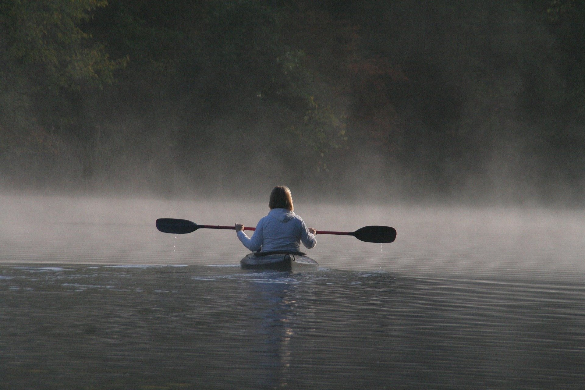
Access on the Greenbrier is organized around the rail-trail instead of around boat ramps, because the trail follows the bank for 78 miles. The trail's own planning page names canoe access in two places: North Caldwell, at trail mile 3, reached across US 60 from the Caldwell boat launch, and Renick, at trail mile 24.5. North Caldwell has trail parking; Renick has trail access with parking. Neither fee is published. Both sit on the southern half of the river, and North Caldwell is the one with an actual boat launch attached to the name — the Caldwell launch is across the highway from the trailhead, which is a short carry rather than a drive-down.
The managing agency's own caution is worth reading literally: do not assume every trail milepost is a launch. Marlinton at US 219, trail mile 56, Cass off State Route 66, Anthony, Alderson and Bellepoint at Hinton all appear as reach endpoints, but the agency does not publish facilities or fees for them. The Greenbrier River Watershed Association also publishes access information for the system, and is the sensible second source when you are trying to confirm that a spot on the map is something you can carry a boat down.
Season, water level and flow
April through October is the season the agency gives, and the shape of it is predictable. Spring melt and spring rain put the most water in the river and the least warmth in it, which makes April and May the fast, cold end of the season. June is usually the month when flow and water temperature line up. By late summer the shallow reaches turn into walking, and the standard local advice is to check the gauge before you drive rather than after you have unloaded. Rain in the mountains upstream can change a shallow reach overnight in either direction.
No minimum floatable flow figure is published for the Greenbrier by the agencies that manage it, so there is no number here to aim at — you are reading the gauge against your own experience of the reach, and asking locally when you have none. At the other end of the range, high water is when the river's real hazards appear: low-head dams and strainers after high water are the caution attached to open-boat rivers across this part of the state, and the Class III between Spring Creek and Anthony grows with the level. American Canoe Association instruction is available regionally, which is the honest answer for anyone who wants a first river day supervised.
Shuttles, and the trail on the bank
Shuttles are easier on the Greenbrier than on any other West Virginia river, and the reason is the rail-trail. Seventy-eight miles of former Chesapeake & Ohio logging grade run from Cass to Caldwell on a gradient that never exceeds about one percent, surfaced in quarter-inch limestone crusher run with some coarser sections remaining. A bicycle on that grade covers a shuttle leg quickly and without a second vehicle, which is why bike-and-shuttle operators work out of Marlinton and Caldwell. The Mountain Transit Authority also runs shuttles and asks for a day's notice.
Commercial shuttle service is not uniform along the whole river. On the stretch below Caldwell down to Ronceverte there is no commercial tube or boat shuttle, so that reach needs two cars or a bike left at the take-out. Shuttle services also operate from Marlinton and Lewisburg for the trail itself. Cell service is absent for long stretches of the corridor, so arrangements need to be made before you lose signal, not from the gravel bar where you decide to stop. Cass at the northern end and Caldwell at the southern are the two points the corridor is measured between, and the mileposts you will be quoted a pickup against run from the Caldwell end.
Multi-day trips and where to sleep
Multi-day canoe camping works well on the Greenbrier, and the trail corridor is what makes it work. Primitive campsites with privies sit every few miles along the trail, and the state describes trailside camping shelters at intervals. Because the trail and the river run together the whole way, a paddling trip and a camping plan can be built off the same set of mileposts — Droop Mountain Tunnel at mile 30.9 and Sharps Tunnel at mile 65.2 are the two landmarks the trail is measured against. The sites are spaced for a cyclist's day, which is longer than a paddler's, so a canoe trip will usually pass more than one.
Resupply is the part that needs thought. Clawson, at mile 61.2, is reached by five miles of unpaved mountain road, and long stretches of the corridor have no cell service at all. Carry water treatment and more food than the plan calls for, because the towns on the map are not evenly spaced along the river and several of them are a climb away from it. Marlinton, at US 219 and trail mile 56, is the one substantial town in the middle of the corridor and the place shuttle operators work from, which makes it the natural break point on a long trip. It is also the take-out the state names for the Laurel Run to Marlinton reach.
For a bed rather than a tent, Seneca State Forest is directly adjacent to the trail: 11,684 acres, established in 1924, with rustic Civilian Conservation Corps cabins that run on oil lamps and have no power, and the Thorny Mountain Fire Tower bookable as overnight lodging. Watoga State Park also connects directly to the trail farther south. Cass, at the northern terminus, rents restored company houses from the logging town. None of these sit on the water itself, so a canoe still needs a shuttle or a bike to reach them from a take-out. Watoga's cabins book roughly a year ahead.
Reach people planning this trip
Placement alongside guides for outfitters, guides, shops and lodging.
List your business hereQuestions
Is the Greenbrier River good for beginners?
When is the best time to canoe the Greenbrier River?
Where can you put in on the Greenbrier River?
How do you shuttle a Greenbrier River trip?
Are there rapids on the Greenbrier River?
What should paddlers watch out for?
Read next
 Destination · Greenbrier Valley
The Greenbrier River Trail
A guide to the Greenbrier River Trail: trailheads, camping, bikepacking it end to end, tubing alongside it, and the best sections for a day out.
8 min read Destination · Greenbrier Valley
Things to Do Outdoors in Lewisburg, West Virginia
A survey of the outdoor options around Lewisburg: the rail-trail at Caldwell, Kate's Mountain, Blue Bend, summer tubing water, and the wet-weather backups.
7 min read Best of · Greenbrier Valley
The Best Hikes in Watoga State Park
Watoga's trails one by one with the state park's own mileages and difficulty ratings, from the 1-mile Arrowhead climb to 5.5 miles of the Allegheny Trail.
7 min read · October