
Every organization we link to: local tourism offices, the state and federal agencies that manage the land, the nonprofits and clubs that keep access open, and the universities doing the research.
West Virginia has roughly 1.5 million acres of public land and a handful of places that carry almost all of the attention. The consequence is that a great deal of very good ground sits nearly empty, usually for one of three reasons: nobody has heard of it, the road in is gated or rough, or it is undeveloped and has nothing to advertise. Those are the places below — of them across regions.
Almost Heaven Swings
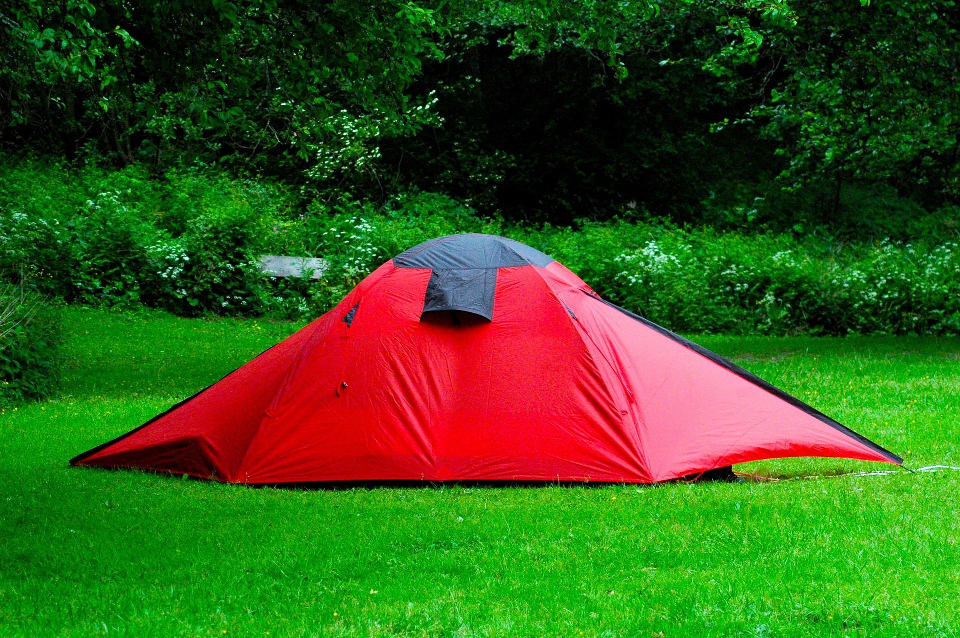
Thirty-three sites on the shoreline
The campground holds 33 units on the shore of a 43-acre lake in the Monongahela National Forest. The season runs April through October. Those three numbers describe the place accurately: small, on the water, and closed for the cold half of the year.
This is a base rather than a destination campground. Nothing about 33 sites suggests a resort, and the value is not in the amenities but in the position — you sleep beside the water you fish and a short drive from the backcountry you came to walk.
Fees, reservation arrangements and site specifics are not part of the record this page is built from. The Gauley Ranger District at Richwood is the office to ask, and the Forest Service's water activities page for the Monongahela is where the lake is listed.
Ten miles from Richwood, on the Gauley Ranger District
Richwood is ten miles off, which is where supplies come from and where the ranger district is based. That distance is close enough to fix a forgotten item and far enough that you are not going in twice a day for fun.
Administratively the lake sits on the Gauley Ranger District. That matters more here than it does at a state park, because almost every question a visitor has about conditions, road status and stocking is answered by the district office rather than by a sign at the lake.
Ten miles of mountain road is the approach. Plan the last stretch of the drive as mountain driving, not as an interstate mile count.
Fishing a stocked cold-water lake
This is a cold-water lake and the Forest Service stocks it. Forty-three acres of cold still water within sight of your tent is an unusual arrangement in this part of the state, and it is the main reason people book here.
WVDNR lists the district's trout waters nearby, so the lake sits inside a larger fishery rather than standing alone. Current regulations and the stocking picture change, so check both with WVDNR before you come rather than working from last year's plan.
The record does not name species for the lake, and neither should we. If you want to know what is in it and when it was last stocked, the Gauley Ranger District and WVDNR are the two offices that hold that answer.
Why it works as a base for the Cranberry and Williams
The practical argument for camping here is that it saves driving. From a shoreline site you can fish the Cranberry and the Williams without running the Highland Scenic Highway twice in a day, and anyone who has driven that road knows what that saves.
That logic extends past fishing. Cranberry Wilderness trailheads on Forest Road 86 are close by, so a long day in the backcountry starts from camp instead of from a motel an hour out.
The trade-off is that the lake itself is small and quiet. If you want the campground to be the entertainment, this is not it. If you want a place to sleep between days spent elsewhere, the position is the whole point.
The Cranberry backcountry behind the lake
Most of the hiking value here is not on the shore. It is in the Cranberry backcountry immediately behind the lake, with Wilderness trailheads on Forest Road 86 a short drive off.
Nothing is published about trails on the lakeshore itself, so do not plan a day around a shoreline loop you have not confirmed. Walking at the lake is what you find; the mileage is in the Wilderness.
Conditions on Forest Road 86 and in the Wilderness behind it are not something you can read off a map from home. Check with the Gauley Ranger District at Richwood before committing to a long day past the trailhead.
Bringing an RV
Thirty-three sites sit on the shore, but the record says nothing about hookups or the length of rig a site will take. That is the first thing to settle if you are towing, and it is a phone call to the Gauley Ranger District, not a guess.
The approach is the second consideration. Ten miles of mountain road out of Richwood is the usual planning constraint on a big rig anywhere in this part of the state, and it is worth knowing what you are driving before you are on it.
The April-through-October season applies to RV campers exactly as it does to tents. There is no shoulder-season option here.
Paddling, birds, and the valley around it
Forty-three acres is an hour or two of shoreline rather than a day of it, but it is calm, cold and rarely busy — a reasonable place to learn, or an evening lap after the fishing has gone quiet. You launch from where you sleep, which is the advantage of a campground on the water.
For birds, the lake gives you cold water, shoreline and the Cranberry backcountry within a short walk of camp, which is several habitats at once. Forest at this elevation in the Monongahela is the kind of ground that holds northern breeders at the southern edge of their range, and May is the peak month. No species list is published for the lake itself.
The wider Greenbrier Valley is limestone country: sinkholes, springs, sinking streams and cave systems, several with more than forty miles of surveyed passage. On the surface, the Greenbrier River Trail runs 78 miles on an abandoned Chesapeake and Ohio logging grade at a gradient under one percent, and the Greenbrier River itself is Class I to II for most of its length.
Reach people planning this trip
Placement alongside guides for outfitters, guides, shops and lodging.
List your business hereQuestions
When is Summit Lake campground open?
How many campsites are there at Summit Lake, WV?
Does Summit Lake campground have RV hookups?
Is Summit Lake stocked?
Read next
 Guide · Greenbrier Valley
The Highland Scenic Highway: Driving and Hiking
A 43-mile byway above 4,500 feet: four overlooks, the Cranberry Glades boardwalk, the Falls of Hills Creek, and the trailheads that close all winter.
7 min read · October Best of
The Best Trout Streams in West Virginia
West Virginia's best trout water: the Elk River tailwater, wild brook trout headwaters, catch-and-release stretches and the spring stocking calendar.
8 min read · April Destination · Greenbrier Valley
Lake Sherwood Recreation Area: A Complete Guide
Two sand beaches, 104 campsites in four loops and 18 miles of trail on the largest lake in the Monongahela National Forest, with fees and booking rules.
8 min read · July