
Every organization we link to: local tourism offices, the state and federal agencies that manage the land, the nonprofits and clubs that keep access open, and the universities doing the research.
West Virginia has roughly 1.5 million acres of public land and a handful of places that carry almost all of the attention. The consequence is that a great deal of very good ground sits nearly empty, usually for one of three reasons: nobody has heard of it, the road in is gated or rough, or it is undeveloped and has nothing to advertise. Those are the places below — of them across regions.
Almost Heaven Swings
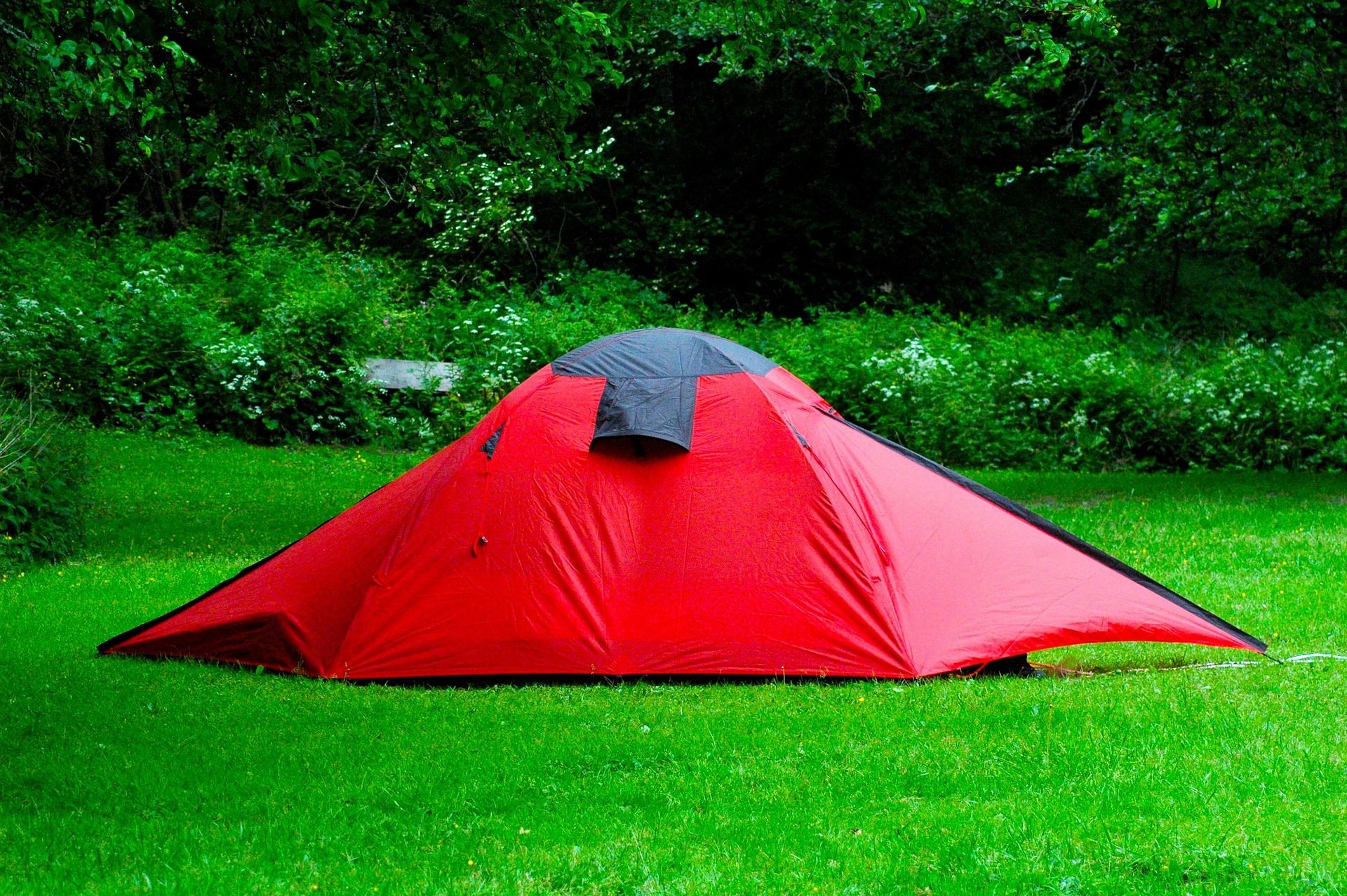
A 1930s campground on the Shavers Fork
Stuart Recreation Area was built by the Civilian Conservation Corps in the 1930s on the Shavers Fork, and it still does the job it was laid out to do: a campground, picnic shelters, and access to the river. It sits in the central Monongahela National Forest, close to Elkins.
The appeal is not the recreation area itself. Nothing on the ground here is a destination trail or a landmark, and this site's record makes no claim that it is. What you get for the night is position, and the position is the reason locals keep using it.
The country it opens up
From here you are at the edge of the Otter Creek and Cheat Mountain country and in the middle of the Monongahela National Forest. Pick your trailheads off the forest map; the site on the Shavers Fork is where you sleep, cook, and dry gear between days.
Elkins is roughly ten minutes out for resupply, which is not true of most forest campgrounds in this state. Forgetting fuel canisters or wanting a second tarp becomes an errand instead of a lost morning, and that changes how loosely you can pack for a multi-day trip.
That combination is what a basecamp is: a fixed camp you keep for several nights while the day trips change. It works better than moving camp every evening when the trailheads you want are scattered across a large forest and the weather may send you somewhere other than where you planned to be.
Reserving a site
This is a federal campground, so reservations run through Recreation.gov rather than through the West Virginia state park system. Check availability before you drive out. A CCC-era loop was not built at modern scale, and no number of sites appears in this record.
Fees, opening and closing dates, and the loop layout are not published in what this site knows either. The Monongahela National Forest district office is the place to ask, and worth a call in the shoulder seasons when whether the gate is open is the entire question.
Towing a trailer in
Campgrounds laid out in the 1930s were designed around cars and canvas, and the loops usually still show it in their turning radii and pull-in lengths. No maximum RV length, hookup detail, or dump station information appears in this record at all.
Call the Monongahela National Forest district office with your rig's length and your hookup needs before committing to tow in. Having Elkins nearby helps with supplies and with the dump station question, but only after somebody tells you where to point the truck.
Trout above, smallmouth below
The Shavers Fork runs past the campground holding trout in its upper water and smallmouth lower down. Where you get on the river therefore decides what you are fishing for, which is a more useful thing to know here than any hatch chart.
That split is also a hedge. When summer warms the lower river past what trout will tolerate, the smallmouth are the reason the day still works. Elkins covers flies and licenses. Check current WVDNR regulations for the specific stretch you intend to work, because rules on a river like this vary by reach.
This record names no stocking schedule, no special regulation water, and no access points beyond the river frontage that comes with the recreation area. WVDNR is the agency for the first two; the forest district office can tell you what river access the site itself includes.
Swimming, with the usual caveats
River access comes with the recreation area, and people do swim in mountain rivers. Be clear on what this one is: a freestone stream that holds trout upstream, which is another way of saying the water is cold well into the summer.
No designated swimming area and no depth information is published here, and there is no guard. Look at the river when you arrive, at the level, the current, and what is under the surface, and treat any pool you find as unsupervised water for the whole party.
The high country around it
Every acre in West Virginia above four thousand feet lies in the Potomac Highlands, Spruce Knob among it at 4,863 feet. The forests up there are relict boreal communities left from the last glaciation: red spruce, sphagnum bog, and heath barrens more typical of eastern Canada than of the mid-Atlantic.
The region also holds four federally designated wilderness areas, all three of the state's downhill ski areas, and the White Grass Nordic center. None of the distances from Stuart to any of that are published in this record, so measure them off a map before you plan a day that has to end back at camp.
Reach people planning this trip
Placement alongside guides for outfitters, guides, shops and lodging.
List your business hereQuestions
Where is Stuart Recreation Area in West Virginia?
How do you reserve a campsite at Stuart Recreation Area?
Can you fish at Stuart Recreation Area?
Can a large RV camp at Stuart Recreation Area?
Read next
 Destination · Potomac Highlands
Things to Do Outdoors in Elkins, West Virginia
Stuart Recreation Area, Otter Creek, Kumbrabow, Laurel Fork and a two-mile tube float on the Cheat headwaters — what the country around Elkins offers.
7 min read
Guide · Potomac Highlands
Backpacking the Otter Creek Wilderness
20,698 acres, 45 miles of unmarked trail and repeated unbridged crossings: how to plan an Otter Creek trip around the water rather than the mileage.
7 min read · June Best of
The Best Trout Streams in West Virginia
West Virginia's best trout water: the Elk River tailwater, wild brook trout headwaters, catch-and-release stretches and the spring stocking calendar.
8 min read · April