
Every organization we link to: local tourism offices, the state and federal agencies that manage the land, the nonprofits and clubs that keep access open, and the universities doing the research.
West Virginia has roughly 1.5 million acres of public land and a handful of places that carry almost all of the attention. The consequence is that a great deal of very good ground sits nearly empty, usually for one of three reasons: nobody has heard of it, the road in is gated or rough, or it is undeveloped and has nothing to advertise. Those are the places below — of them across regions.
Almost Heaven Swings
What the park publishes about the mountain
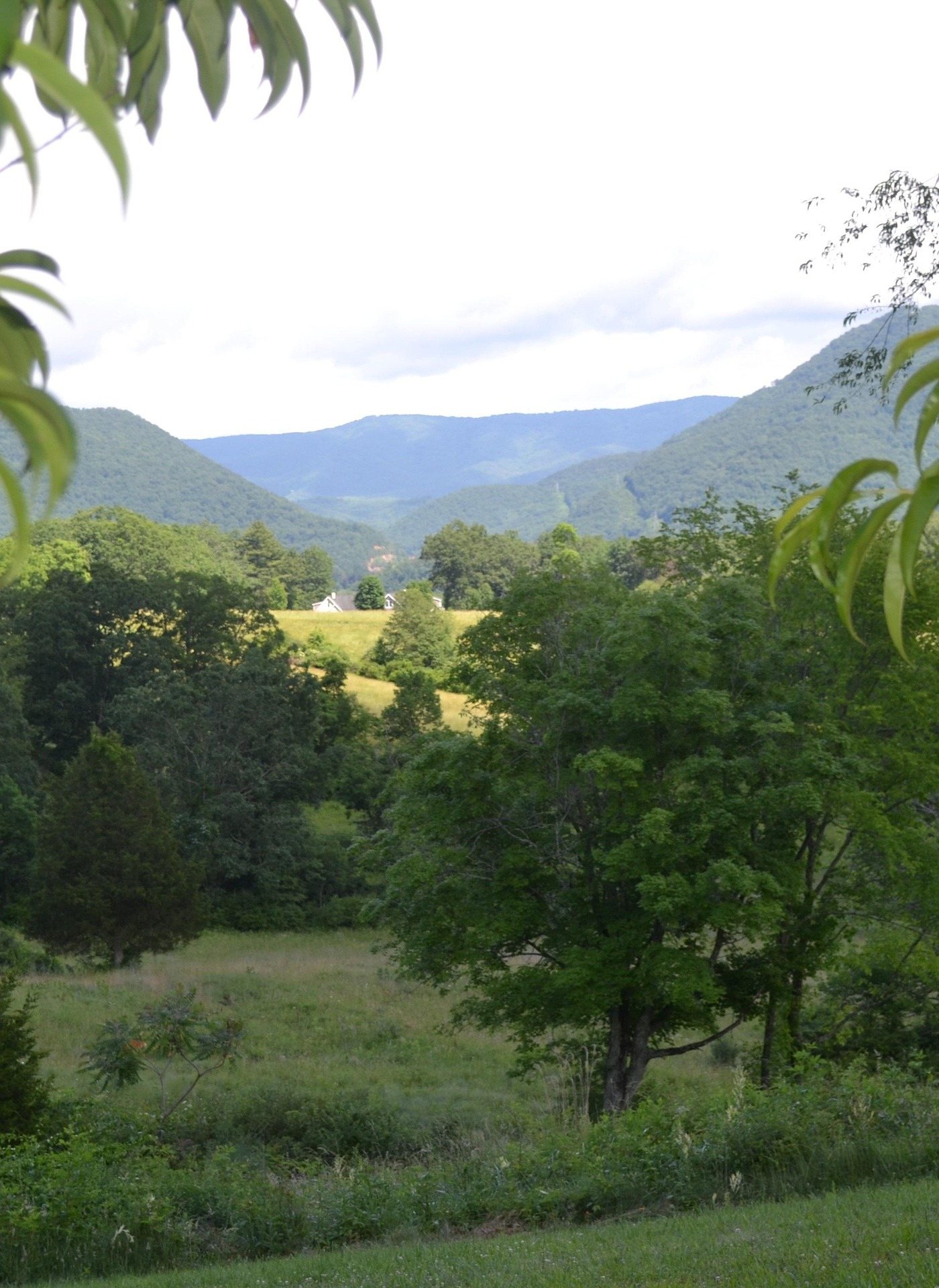
Cacapon Resort State Park hiking happens on one mountain, and the park's own figures for that mountain do not quite agree. The trail record for Ziler Trail gives the summit as 2,200 feet and the park describes Cacapon Mountain as the highest mountain in the eastern panhandle at that height. The park's description of its trail system says the trails climb to a 2,300-foot ridge. Both figures come from the park. The gap is too small to matter to your legs and too worth flagging to ignore, because this is the kind of number that gets copied around the internet as settled fact.
What is consistent: over 6,000 acres at Berkeley Springs, a lodge, a Robert Trent Jones Sr. golf course, a lake with a beach, and a trail system climbing from the developed base to the ridge. The park is the nearest full-service state park to Washington and Baltimore, and the region sits about 90 minutes from D.C. That is the most useful planning fact here, because it explains the crowding: the park books out on summer weekends by its own account, and the trails are correspondingly quieter midweek and in the shoulder months.
The four trails, and how they fit together
Four trails carry a published mileage and a difficulty rating. Ziler Trail: 5 miles, Moderate, climbing to the 2,200-foot summit. Central Trail: 5 miles, Moderate, to Bear Den Rocks and valley overlooks, crossing the north and middle forks of Indian Run. Laurel Trail: 2 miles, Moderate, to a crag over the Sleepy Creek valley with Keefer sandstone outcrops. Piney Ridge Trail: 1 mile, Easy, through pine and mixed oak, with a published elevation range of 950 to 1,100 feet — the only elevation figure here that is not a summit height.
What the park does not publish is how they connect. Surfaces are not given for any of the four. Elevation gain is not given for Ziler, Central or Laurel. Junction distances are not published, and the trailhead is listed as the park itself rather than a specific parking area for each trail. That is the honest limit of Cacapon Resort State Park hiking information: four mileages, four difficulty ratings, one summit height and one elevation range. You build a day from the park's own map on arrival, not from a mileage table read at home.
A full day here is Ziler out to the summit and back. A half day is Laurel to the crag, looking across at Sleepy Creek Mountain. Piney Ridge is the walk that works with small children or after dinner at the lodge. Central is the one to take when you would rather have rock outcrops and stream crossings than a single sustained climb, and it costs the same five miles as the summit trail — which makes the choice between them a question of what you want at the far end rather than how much you want to walk.
Sharing the trails
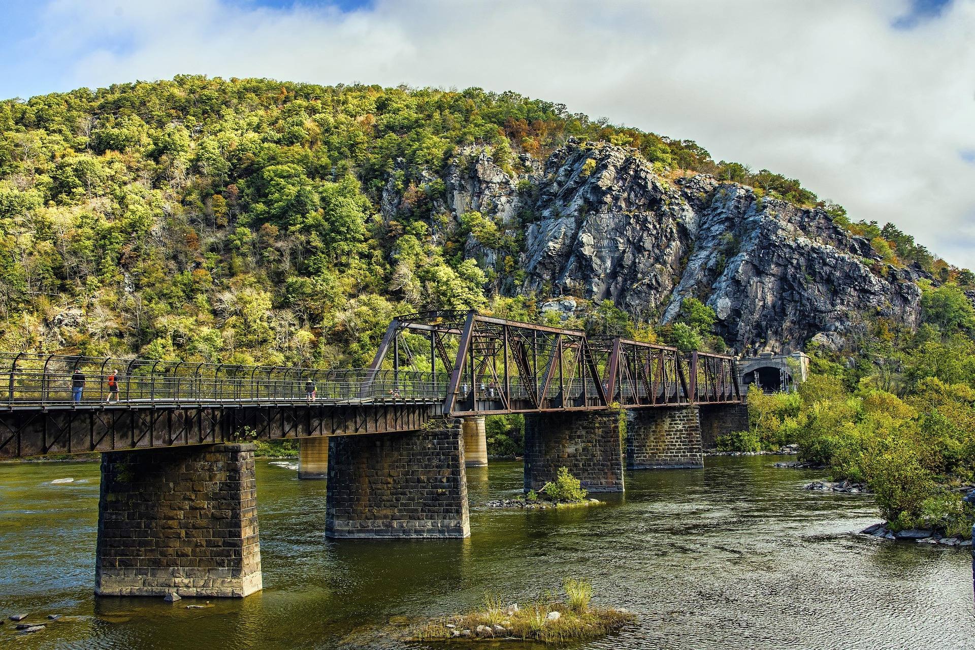
Mountain bike trails have been steadily developed at Cacapon Resort, and mountain biking, trail running and birding are all listed uses alongside hiking. The park does not publish which trails are shared and which are bike-specific, so assume you will meet a bike and step off. Trail running being a listed use is worth taking seriously: a five-mile moderate trail with a summit at the end is a good run for anyone who does that, and the lodge-and-lake base that makes the park easy for families makes it equally easy for a training weekend.
The golf course is part of the same park, running along the base of Cacapon Mountain. It is a Robert Trent Jones Sr. design on state park green fees, which is why it gets called the best value in West Virginia golf, and it is the closest quality course to the Washington and Baltimore metros. It combines with hiking and mountain biking on the same ground on the same day. That combination, rather than any single trail, is the actual argument for staying at the lodge instead of driving out and back.
Cacapon Resort State Park hiking in May
May is the best month here for a specific reason: the park's two small lakes are stocked with trout each spring, and the summer weekend crowding has not started. Lake swimming and boating run Tuesday to Sunday, 10:30 to 5:30, and the lake gate is cash only at $6 for anyone 12 and over — worth knowing before you drive up with a card and no bills. Hardwood forest covers the ridge, so May walking happens under new leaves with the valley views still partly open through them. The lakes are small, and stocked trout in small water is a short-season proposition, which is another argument for going early.
Heat is the argument for the front of the season rather than the back of it. The Eastern Panhandle runs warmer and drier than the rest of West Virginia at lower elevation, and five moderate miles up a mountain in July is a different proposition from the same trail in May. Mountain laurel and rhododendron make off-trail travel difficult across this region, which in May is mostly a reason to stay on the trail rather than a hazard in itself. Ticks are the other reason to keep to the tread in spring.
Where you park, and what the park does not tell you
The trailhead for all four published trails is given as Cacapon Resort State Park at Berkeley Springs. There is no published individual trailhead location, no published parking capacity and no published surface for any trail. Get the park's trail map when you arrive. If you want a figure the park does not publish — gain on Ziler, the length of a loop combining Central and Laurel, whether a trail holds up after rain — nobody has published it, and a guide that hands you one has made it up. Ask at the office instead, because the staff there know the network the map does not describe.
Water is the other unpublished item. Nothing in the park's trail records lists water on the trails, so carry what you need for five miles of moderate climbing. Central Trail crosses the north and middle forks of Indian Run, which is running water and not a published water source; filter it if you intend to use it. The developed base at the bottom of the mountain has the facilities, and the ridge has none of them. Summer heat on this ridge is the reason to carry more than the same distance would need at home, and the reason to start early in the day.
If the park is full
Sleepy Creek Wildlife Management Area is across the valley: 22,928 acres, a 205-acre lake, primitive camping at designated areas, and no published trail figures at all. The access roads are gravel and can be rough, and it is heavily hunted, so blaze orange in autumn. It is the overflow answer for a walking day when the park has booked out, at the cost of navigating without any agency mileages to work from. It is also where you go if you want to camp without booking anything, since primitive camping is permitted there at designated areas.
For a flat day, the Cacapon River is Class I–II the whole way, clear and slow and fishable from an open boat. For a day when nobody wants to climb, Cacapon Mountain Overlook is a drive-up with a four-state view on a clear day, and Berkeley Springs State Park in town is walkable to everything with the mineral springs running at a constant 74°F. None of the three asks anything of your legs. The Cacapon is fed by the Lost River, which sinks underground upstream and re-emerges under a different name, and that is worth a detour if you like that sort of thing.
Reach people planning this trip
Placement alongside guides for outfitters, guides, shops and lodging.
List your business hereQuestions
How long is the Ziler Trail?
How many trails does Cacapon Resort State Park publish figures for?
How high is Cacapon Mountain?
Is the lake at Cacapon Resort State Park free?
Do I need to book ahead to hike here?
Is there fishing in the park?
Read next
 Best of · Eastern Panhandle
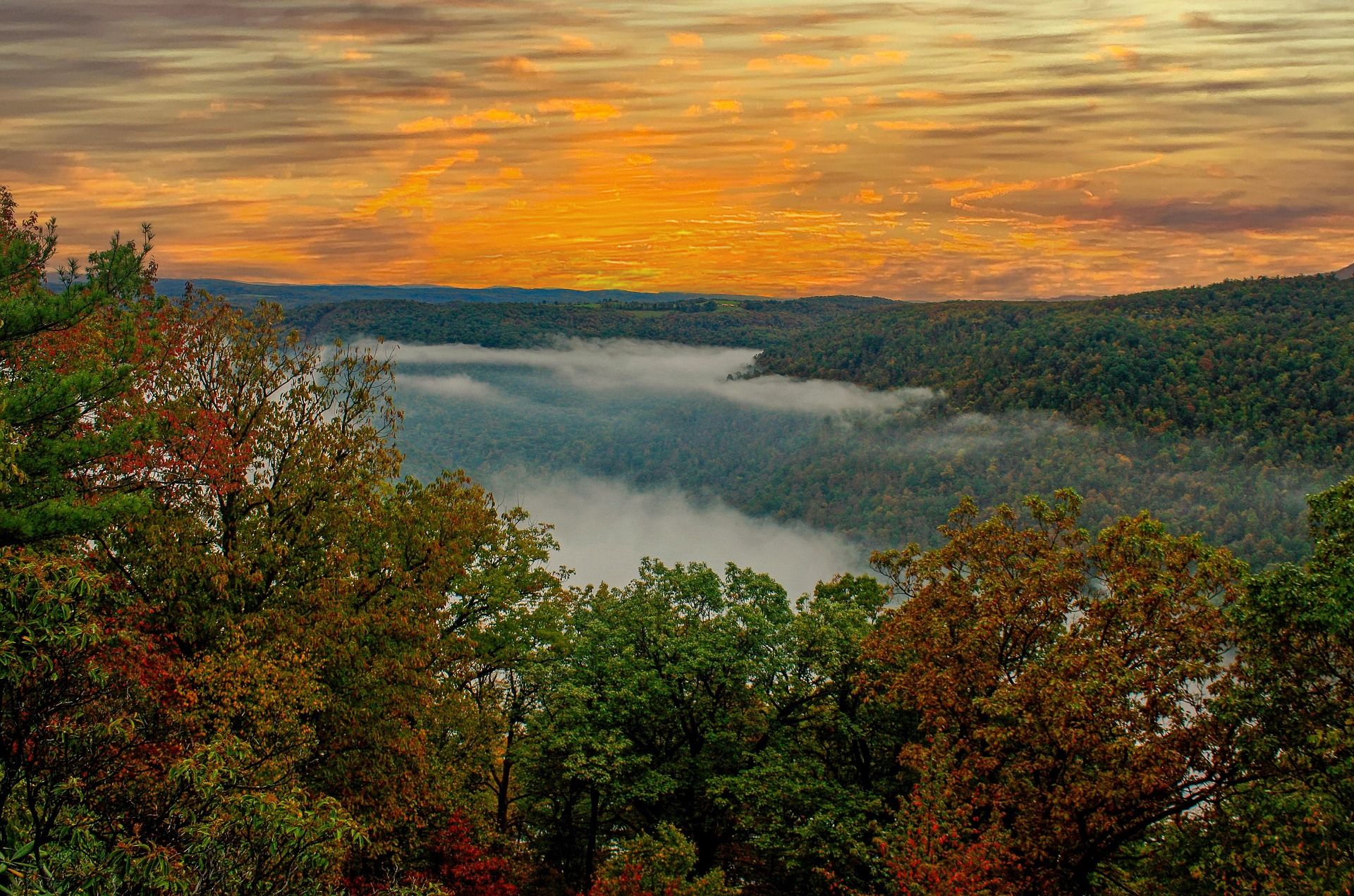
The Best Hikes at Harpers Ferry
Every Harpers Ferry hike with official NPS distances and elevation gain: Maryland Heights, Loudoun Heights, Jefferson Rock, plus current closures.
8 min read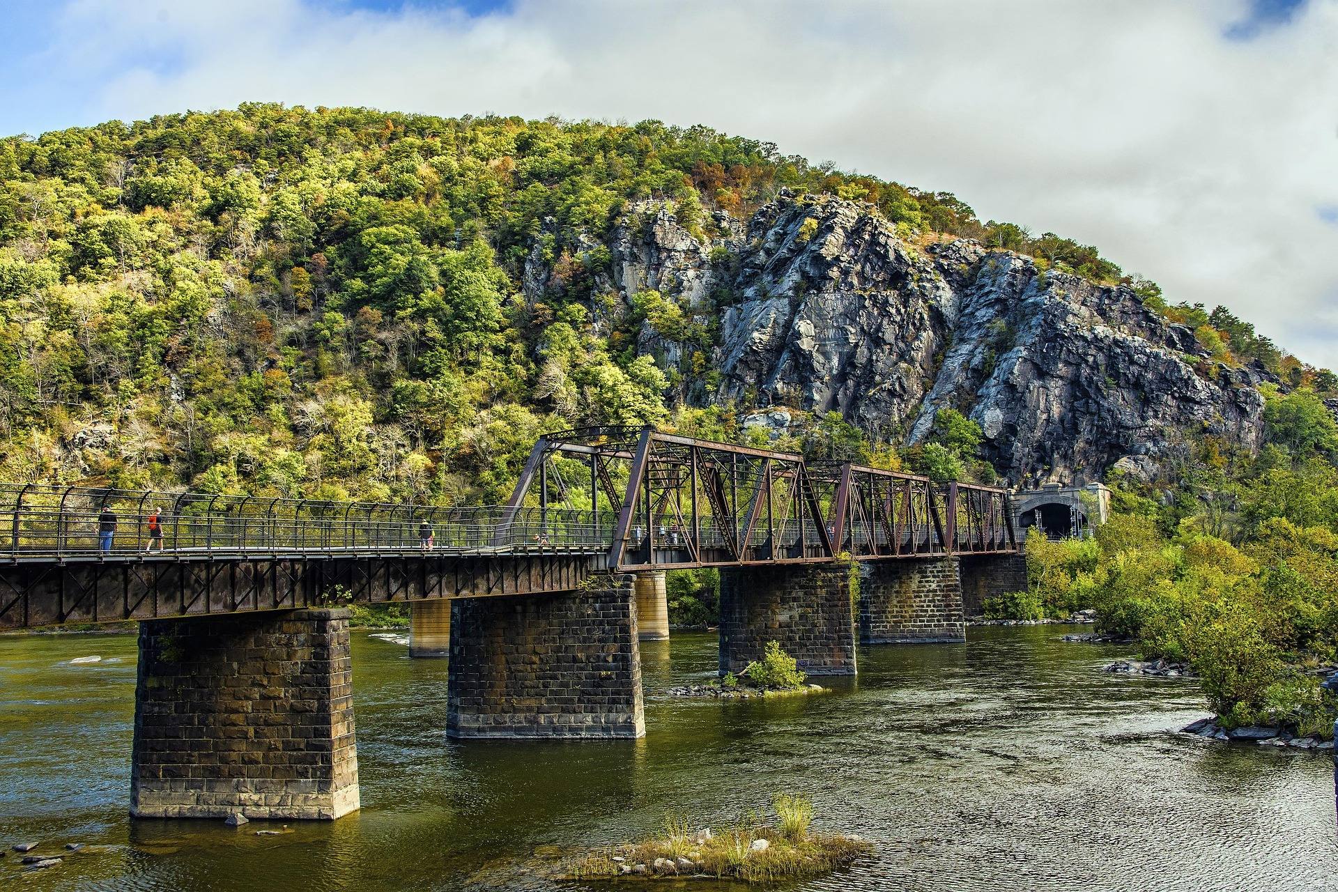 Destination · Eastern Panhandle
Things to Do in Harpers Ferry
A guide to Harpers Ferry, West Virginia: the historic Lower Town, the best hikes and overlooks, tubing and rafting, the Appalachian Trail and where to start.
8 min read Best of · Eastern Panhandle
The Best Hiking Trails in Berkeley Springs
Trail by trail on Cacapon Mountain and Sleepy Creek Mountain: the four mileages the state park publishes, the drive-up views, and what nobody publishes.
8 min read · October