
Every organization we link to: local tourism offices, the state and federal agencies that manage the land, the nonprofits and clubs that keep access open, and the universities doing the research.
West Virginia has roughly 1.5 million acres of public land and a handful of places that carry almost all of the attention. The consequence is that a great deal of very good ground sits nearly empty, usually for one of three reasons: nobody has heard of it, the road in is gated or rough, or it is undeveloped and has nothing to advertise. Those are the places below — of them across regions.
Almost Heaven Swings
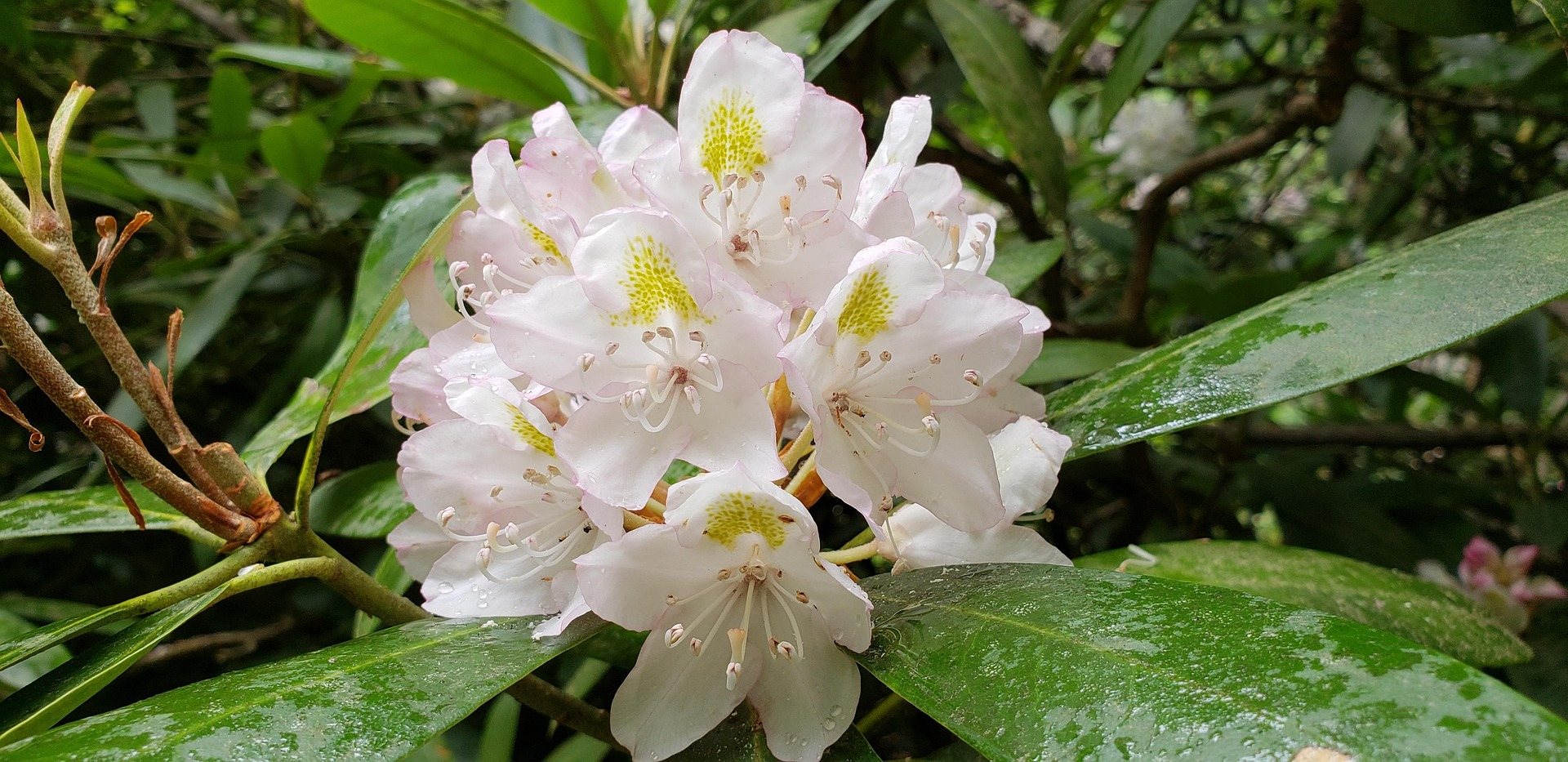
The shape of the place
The wildlife management area covers 12,854 acres. At its center is a lake of 29 acres, and that ratio tells you most of what you need to know: this is a large block of southern coalfield ground with one small piece of water in it.
A 29-acre lake is a morning, not a week. You can cover it from the bank or a small boat in a day and still have hours left over, which means the acreage around it is what actually fills a visit. That acreage is managed for game.
West Virginia's Division of Natural Resources runs the area, and its page at wvdnr.gov is where the current rules live. Two things the area itself publishes: primitive camping is permitted at designated sites, and blaze orange should be worn during autumn and winter seasons.
Hunting is what this ground is managed for
Public hunting is the primary purpose here. That single fact explains the absence of the things visitors often look for — no trail signage worth planning around, no interpretive layer, no developed facilities in the record. What there is instead is twelve thousand acres of access.
Species, seasons, dates and bag limits do not come from the area. They come from WVDNR's statewide and county regulations, which change, so read the current book rather than a summary. The area's own contribution is the ground and the camping.
Blaze orange during autumn and winter seasons is the published instruction, and it applies to everyone on the property, not only to hunters. Primitive camping at designated sites lets you stay on the area between hunts instead of driving out and back.
Fishing the 29-acre lake
This is warm-water fishing. The lake is not trout country, and the record does not describe it as one, so plan for a warm-water day on small still water.
No stocking list is published for the lake. That is a real gap if you like to rig before you arrive: without a species list you are choosing tackle blind for a long drive into Mingo County. Call the WVDNR district office and ask what is in there.
Licenses and regulations are WVDNR's, statewide. Twenty-nine acres is easily worked from the bank, and small enough that a canoe or a kayak covers the whole shoreline in an outing.
Camping at designated sites
Primitive camping is permitted at designated sites. That sits between two things people often assume: it is not open dispersed camping where you pick your own spot, and it is not a developed campground with a bathhouse and a check-in window.
Plan to bring everything — water, a way to cook, a way to deal with waste. The lake gives the sites a focus and the surrounding acreage keeps them quiet, but nothing in the record promises a tap or a table.
Site numbers, fees, length of stay and reservation arrangements are not published in what this site holds. WVDNR is the office to ask, and worth asking before a long drive. If you are camping in autumn or winter, wear blaze orange whenever you leave camp.
Walking without a trail system
No trail system is published for these 12,854 acres, and that is normal for a wildlife management area. WMAs are managed for game rather than for hikers, so the walking is generally on access roads, firebreaks and whatever lines the terrain offers.
For some people that is the appeal. You will not meet a tour group, and route-finding is part of the day. It does require being comfortable with a map and a compass or a GPS track you made yourself, because there is no signed loop to fall back on.
During autumn and winter seasons, assume hunters are present anywhere on the property and wear blaze orange. That is the published guidance, and on ground whose main purpose is hunting it is not a formality.
Small water for a paddle, and birds along the edge
Twenty-nine acres of sheltered water with no current is an hour or two of easy paddling. It suits somebody learning, and it suits fishing from a kayak, which is probably the most common reason a boat comes here at all.
How boats get in is not documented. No ramp or launch detail appears in the record, and neither does anything about motor restrictions, so check both with WVDNR before you arrive with a trailer.
Birding is lake edge plus a great deal of quiet coalfield forest. This is not the high red spruce country that gives West Virginia its birding name, and the area keeps no bird list, so eBird and your own ears do the work. May is the statewide peak month; in fall, the blaze orange rule still applies.
Where it sits in the southern coalfields
Mingo County is one of the five southernmost counties, where deep mining shaped both the settlement pattern and, more recently, the recreation economy. Laurel Lake is the quiet end of that: a large block of public ground with a small lake and no crowd.
The loud end is close by in spirit if not measured here. The Hatfield-McCoy Trails were built across former coal lands beginning in 2000 and now exceed 1,000 miles across nine or more connected systems, which makes this the largest off-highway vehicle destination in the eastern United States. Several towns passed ordinances letting machines run on public streets.
Elk were reintroduced to this part of the state in 2016. What that means for any particular tract, including this one, is a question for WVDNR rather than an assumption to carry into the woods.
Reach people planning this trip
Placement alongside guides for outfitters, guides, shops and lodging.
List your business hereQuestions
Can you camp at Laurel Lake WMA?
What fish are in Laurel Lake, WV?
Are there hiking trails at Laurel Lake WMA?
Do you need blaze orange at Laurel Lake WMA?
Read next
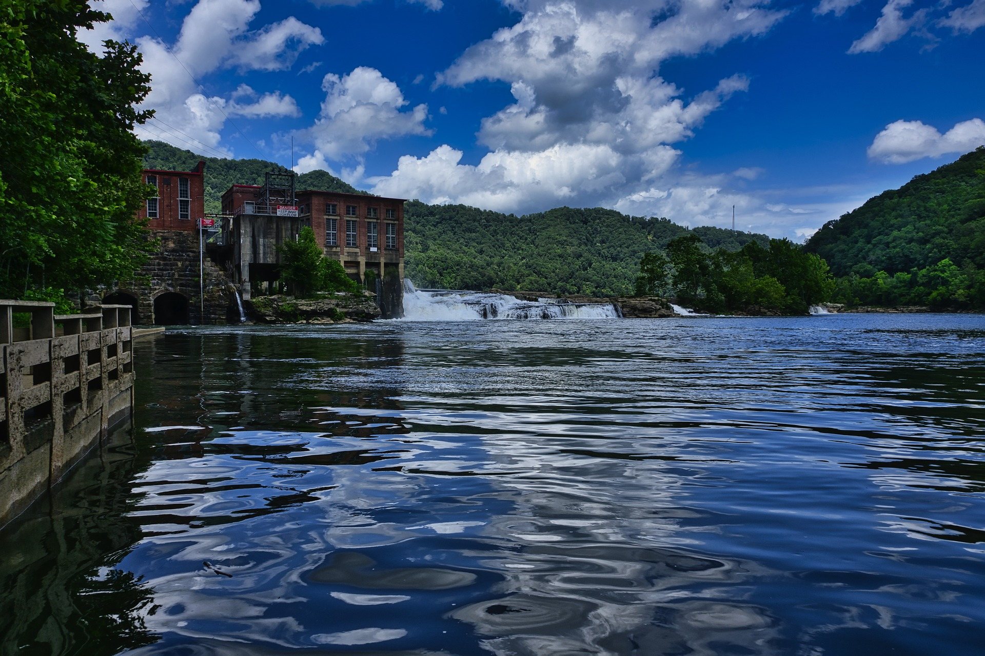 Guide · Southern Coalfields
Fishing Laurel Lake and R.D. Bailey
Two quiet warm-water lakes in the southern coalfields: what WVDNR publishes about Laurel Lake's 29 acres, licenses, camping and hunting overlap.
7 min read · May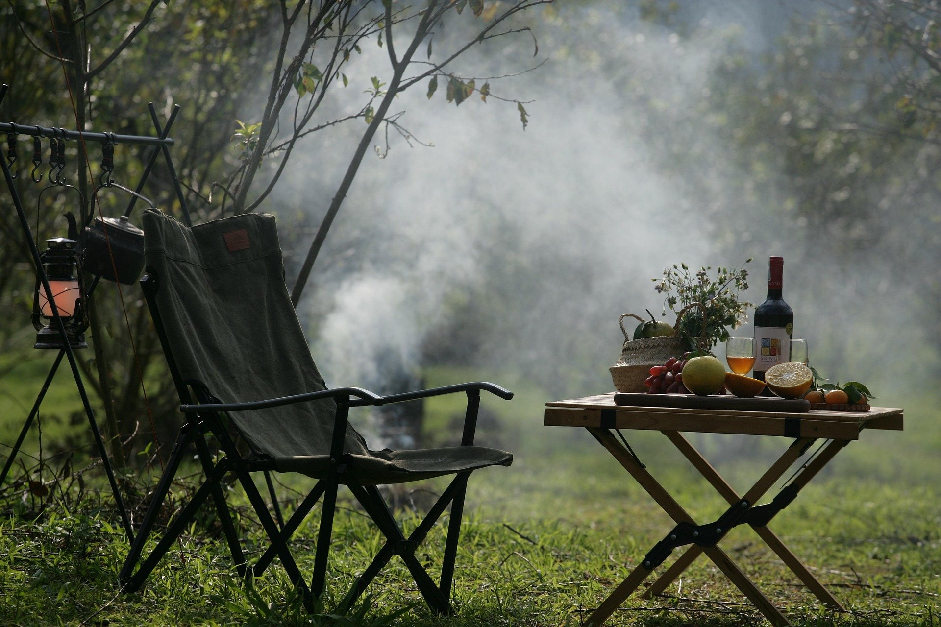 Destination · Southern Coalfields
Panther State Forest: A Complete Guide
A planning guide to Panther State Forest in McDowell County: 7,810 acres, the campground and pool, the overlook climb, and the drive in.
7 min read · May Destination · Southern Coalfields
The Hatfield-McCoy Trails
A guide to the Hatfield-McCoy Trails: the individual trail systems, permits, difficulty, ATV-friendly towns and how the network is organised.
8 min read