
Every organization we link to: local tourism offices, the state and federal agencies that manage the land, the nonprofits and clubs that keep access open, and the universities doing the research.
West Virginia has roughly 1.5 million acres of public land and a handful of places that carry almost all of the attention. The consequence is that a great deal of very good ground sits nearly empty, usually for one of three reasons: nobody has heard of it, the road in is gated or rough, or it is undeveloped and has nothing to advertise. Those are the places below — of them across regions.
Almost Heaven Swings
A park on ground that used to be worked
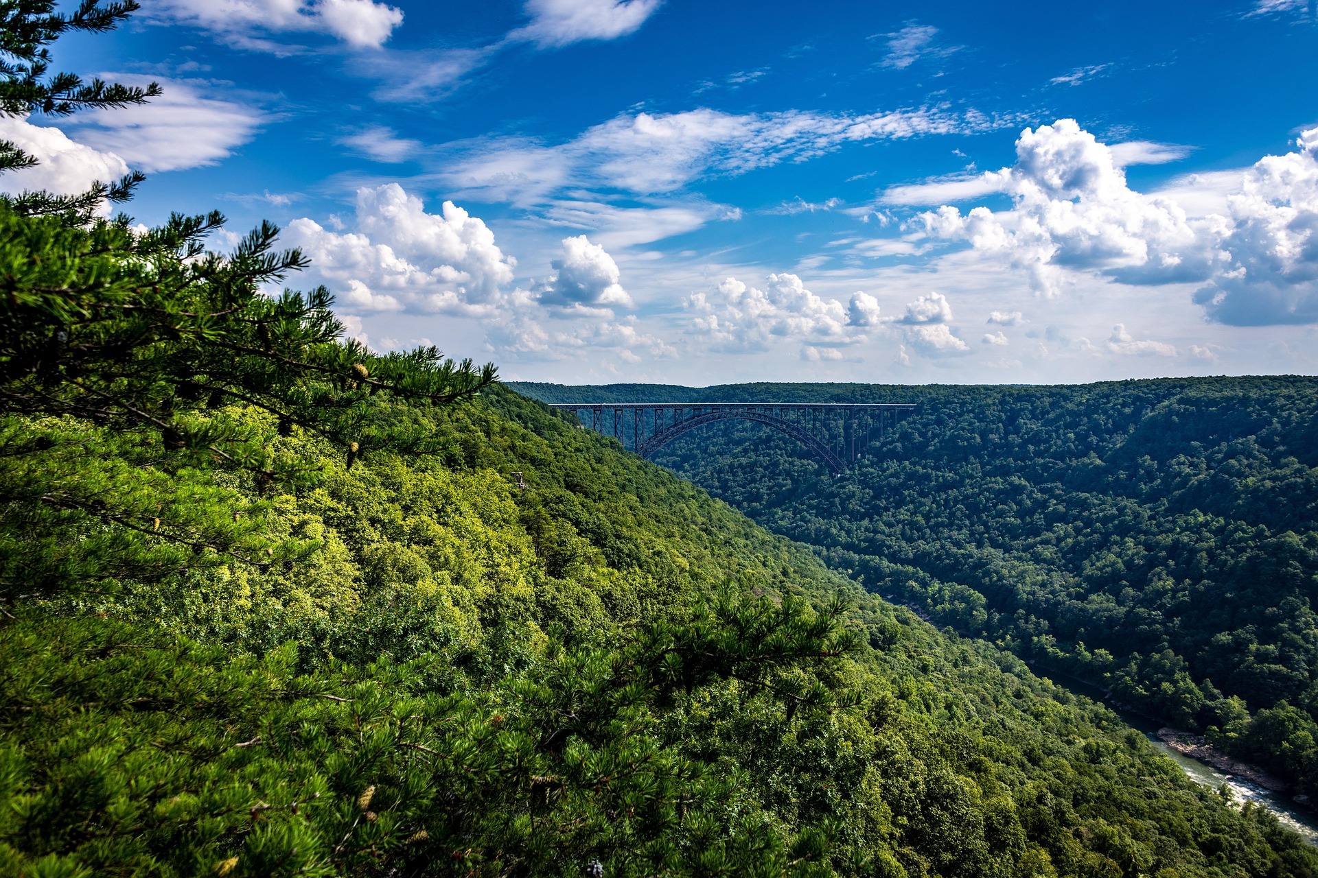
Chief Logan State Park covers 4,000 acres in Logan County. Its trails run through country the county has taken back from coal, and that history is the most honest way to describe the forest you walk through — regrown rather than untouched.
The park's documented features are a wildlife exhibit, an outdoor amphitheatre and the trail system. Those three, plus its position near several Hatfield-McCoy trail systems, are what the record supports and what a visit is built around.
Nothing in the record describes the reclamation itself in detail, so do not expect interpretive specifics from this page. The park is the place to ask what the ground was before it was a park.
The Guyandotte Beauty Trail and the rest of the walking
The Guyandotte Beauty Trail is the signature hike, and it is the route to take if you only have time for one. Hiking is listed year-round, which means the trails are not a seasonal proposition the way high-elevation routes elsewhere in the state can be.
No trail mileage is published — not for the Beauty Trail and not for the network as a whole. Pick up a map at the park rather than committing to a long day on guesswork, and ask which trails are currently signed and maintained.
Across 4,000 acres of reclaimed slope, expect old grades and steep regrown hillsides. That is the terrain the record implies, and it is worth knowing before you plan a route by looking at contour lines alone.
Staging for the Hatfield-McCoy systems
Machines do not run inside Chief Logan. The park's role for off-road riders is lodging and staging: sleep here, trailer out in the morning to one of the several Hatfield-McCoy systems that sit convenient to it. The record is explicit that the park is a practical base for riders on the southern trail systems.
Permits, trail assignments and rules come from the Hatfield-McCoy Regional Recreation Authority, not from the park. Buy your permit and confirm which systems are open through the Authority before you arrive, because park staff do not administer any of it.
The record does not name the specific systems or give distances to their trailheads. Work that out from the Authority's own trail map.
Sleeping in the park
Camping at Chief Logan works the way riders use it — a bed near the trails rather than a destination campground. The record notes an April-to-October window for camping and gives no site count and no information about hookups.
Reserve through the West Virginia state park system and confirm what is open inside that window, especially at either end of it. Ask directly about trailer parking if you are hauling machines; nothing in the record addresses it.
Fees, loop layouts and cabin or lodge availability are likewise unpublished here. The park office is the single source worth trusting on all of it.
The wildlife exhibit and the birding around it
A wildlife exhibit operates in the park, and it is one of the documented reasons families stop. What the record does not do is describe which animals it holds or when it is open, so treat that as a call to make before promising a child a visit.
Birding here is the ordinary kind rather than a specialty draw: 4,000 acres of forest regrown over former coal land, listed as year-round with a May peak. No species lists and no hotspots are published for this site.
eBird and the park staff will tell you more than the park literature does. If you want a target list before you drive, build it from recent eBird checklists for the area rather than from anything on this page.
Bikes, discs and the parts nobody has written down
Mountain biking is a genuine unknown here. The record does not say which trails allow bikes or how far the rideable network runs, and reclaimed coal ground tends toward old haul grades and steep regrown slopes rather than built flow trail. Ask the park office before you unload.
Disc golf is listed with no hole count, no layout and no fee. It sits on the activity list alongside the wildlife exhibit, the amphitheatre and the trails, entirely unexplained. Check UDisc for a layout, or call the park before you drive out for a round.
These gaps are worth stating plainly rather than filling in. A park this size that publishes so little about two of its listed activities is a park to phone first.
The amphitheatre, and the valley the park sits in
An outdoor amphitheatre is part of the park. The record does not publish a performance schedule, ticket prices or a season, so if a show is the reason for your trip, confirm dates with the park before you book anything else around it.
Chief Logan sits in the Metro Valley region — the Kanawha and Guyandotte valleys around Charleston and Huntington, holding the largest share of the state's population. Recreation in the region concentrates on restored rivers and close-in public land rather than remote backcountry.
That regional pattern gives you options off the park. The Coal River Group maintains an 88-mile water trail on the Big Coal, Little Coal and main-stem Coal rivers, the Guyandotte Water Trail Alliance is developing a comparable system, and Kanawha State Forest covers 9,300 acres of close-in trail. No distances between those and the park are published here.
Reach people planning this trip
Placement alongside guides for outfitters, guides, shops and lodging.
List your business hereQuestions
Can you ride ATVs at Chief Logan State Park?
What is the main hiking trail at Chief Logan State Park?
How big is Chief Logan State Park?
Does Chief Logan State Park have camping?
Read next
 Destination · Southern Coalfields
The Hatfield-McCoy Trails
A guide to the Hatfield-McCoy Trails: the individual trail systems, permits, difficulty, ATV-friendly towns and how the network is organised.
8 min read Destination · Southern Coalfields
Things to Do Outdoors in Logan, West Virginia
Where to hike, ride, fish and watch wildlife around Logan, West Virginia, from Chief Logan State Park to the Hatfield-McCoy trail systems.
7 min read Destination · Southern Coalfields
Twin Falls Resort State Park: A Complete Guide
What the state park publishes about Twin Falls Resort State Park: the 1.25-mile Falls Trail, three ridge loops, sunset from Still Run Ridge, and camping.
7 min read · June