
Every organization we link to: local tourism offices, the state and federal agencies that manage the land, the nonprofits and clubs that keep access open, and the universities doing the research.
West Virginia has roughly 1.5 million acres of public land and a handful of places that carry almost all of the attention. The consequence is that a great deal of very good ground sits nearly empty, usually for one of three reasons: nobody has heard of it, the road in is gated or rough, or it is undeveloped and has nothing to advertise. Those are the places below — of them across regions.
Almost Heaven Swings
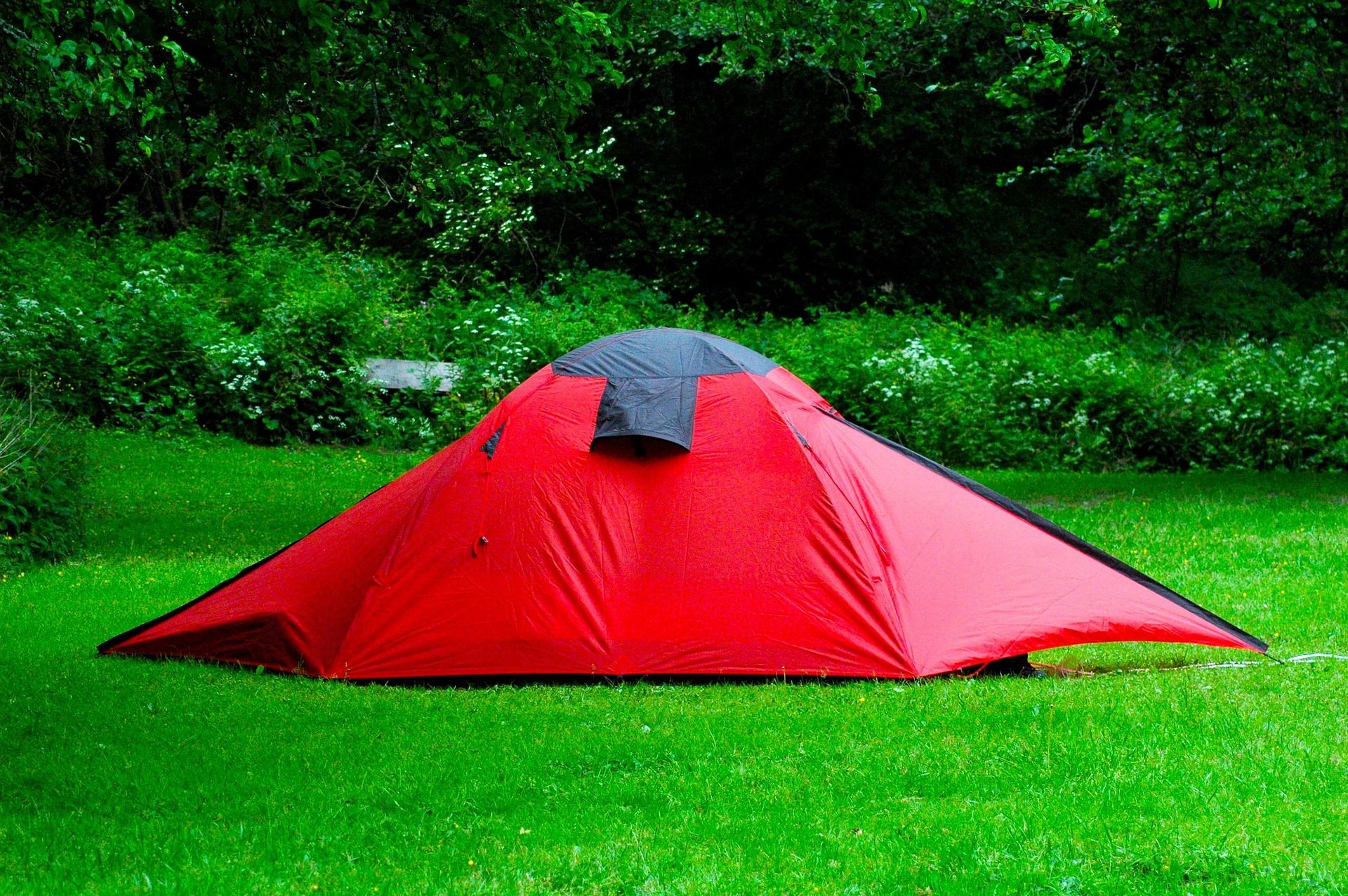
What no reservation means depends on who owns the ground
Dispersed backcountry camping is permitted across most of the Monongahela National Forest without a permit, subject to setback rules from roads, trails and water and to stay limits. That sentence is the reason unbooked camping works in this state at all.
Dispersed camping is not permitted in state parks. Developed park and forest campgrounds reserve through the West Virginia State Parks system, generally up to a year in advance, and federal campgrounds reserve on Recreation.gov. Turning up at a full campground on an October weekend is not a plan.
So a trip without a booking almost always means walking away from a road onto federal land, or finding a state forest or wildlife management area where the managing agency allows it.
The seventeen places this site logs for primitive or dispersed camping
Federal wilderness and backcountry make up most of the list: Cranberry Wilderness, Dolly Sods Wilderness, Otter Creek Wilderness, Laurel Fork Wilderness, Roaring Plains West Wilderness, Seneca Creek Backcountry, Canaan Mountain Backcountry, Tea Creek Trail System and Smoke Hole Canyon. The Allegheny Trail is also logged for it.
Five state forests appear: Seneca, Kumbrabow, Panther, Cabwaylingo and Calvin Price. Two wildlife management areas appear: Sleepy Creek and Laurel Lake. Both categories are West Virginia Division of Natural Resources ground, and wildlife management areas carry area-specific regulations.
This site publishes no site counts, fees, or booking arrangements for these seventeen places. Where the land is national forest, ask the Monongahela National Forest district office; where it is a state forest or wildlife management area, ask WVDNR. A listing here is not a promise of an open site on a Friday night.
The rules that come attached to a site nobody assigned you
Setbacks and stay limits are the two rules people forget. Dispersed camping on the national forest is legal subject to distance from roads, trails and water, and to how long you stay. Wilderness adds its own requirements: at Otter Creek that means distance from trails and water, no facilities, and everything packed out.
Surface choice is not a courtesy. High-elevation sphagnum bog and heath in Dolly Sods, Cranberry Glades and Canaan Valley take decades to heal from a single season of trampling. Camp on bare rock, an established site, or forest duff well away from wet ground.
Use a stove. Most of the Highlands is too wet to burn most of the time, which breeds complacency until a dry spell changes it. Where fires are legal, use existing rings and drown them. Move no firewood: hemlock woolly adelgid and emerald ash borer travel in it, so buy local or certified heat-treated.
The state forests are a different animal from the parks
Forests are managed for timber, wildlife and watershed alongside recreation, and most permit hunting in season, while state parks generally do not. Cabwaylingo, Panther, Seneca, Kumbrabow and Calvin Price all allow hunting under WVDNR regulations, which is the thing to know about walking on them in autumn. Wear blaze orange from October through January.
Facilities run thin by design at the far end of the system. Kumbrabow and Seneca rent cabins without electricity, and Calvin Price has no facilities at all. That is an argument for going, provided you arrive self-contained.
Pocahontas County has a second draw for an unbooked night. Watoga State Park holds an International Dark Sky Park designation, and Droop Mountain, Calvin Price and the wider county benefit from the Quiet Zone's restrictions on transmission and very low population density.
Otter Creek as the worked example
Otter Creek Wilderness covers 20,698 acres of dense second-growth in a bowl between Shavers Mountain and McGowan Mountain, with 45 miles of trail. Across that much ground, and with less traffic than Dolly Sods draws for the same effort, finding an unoccupied site is not the hard part.
Getting to it is. The trails are unmarked apart from the occasional rock cairn, so carry map and compass. The crossings are unbridged and repeated, expect wet feet all day, and high water can make them impassable, which means a bailout plan rather than an optimistic schedule. Elevation runs from 1,800 feet at the creek mouth to 3,900 feet on McGowan Mountain.
Camp well above the creek, because levels move with rain and those crossings are your way out. The same applies anywhere on this list where a stream sits between you and the car.
Timing a trip you cannot book
September and October are when unbooked ground earns its value, because this is the busiest period of the year and lodging in Fayetteville, Davis and Marlinton books months ahead. The trade is hunting pressure: the national forest and the wildlife management areas are heavily hunted, so wear orange, and put orange on the dog.
November and December empty the trails completely and the views open up. March and April are the wrong end of the year for anything with creek crossings: snowmelt and spring rain run high, trails are muddy, and high-elevation trailheads may still be snowed in. July and August are hot and humid below 2,500 feet but green and quiet, so go high.
January and February belong to the snow belt. Upslope snowfall in Tucker and Pocahontas counties regularly produces conditions nothing else in the mid-Atlantic matches, while valleys forty miles west stay bare.
Getting there, and the fact that nobody can call you
Much of the best dispersed access is at the end of a forest service road. Many are rough, some are seasonally closed, and a few are hard on a low-clearance car, with Forest Road 75 to Bear Rocks the most notorious. Check Monongahela National Forest alerts for road status and forest orders before committing to a trailhead.
Plan fuel stops deliberately in Pocahontas, Randolph, Pendleton and Webster counties, where long stretches have nothing and what exists may close early or on Sundays. Check drive times rather than estimating from a map, because sixty road miles here can take two hours.
Assume no cell service in the Highlands, the wilderness areas, the gorges and the Quiet Zone, and download offline maps before you leave a signal. Backcountry rescue often means volunteer squads and long carry-outs, so tell somebody your plan and your return time. An unbooked trip leaves no record of where you went.
Reach people planning this trip
Placement alongside guides for outfitters, guides, shops and lodging.
List your business hereQuestions
Can you camp in West Virginia without a reservation?
Do you need a permit for dispersed camping in the Monongahela National Forest?
Where can you camp for free in West Virginia?
How many primitive campsites are there in West Virginia state forests?
Read next
 Destination · Potomac Highlands
Hiking Dolly Sods
A practical guide to hiking Dolly Sods Wilderness: the main trails, route options, why it is navigationally serious, and how to reach Bear Rocks.
9 min read
Guide · Potomac Highlands
Backpacking the Otter Creek Wilderness
20,698 acres, 45 miles of unmarked trail and repeated unbridged crossings: how to plan an Otter Creek trip around the water rather than the mileage.
7 min read · June Guide · Potomac Highlands
Backpacking the Seneca Creek Backcountry
Trail mileages, the Forest Road 112 approach, the unbridged creek crossings and where to camp in the Seneca Creek backcountry below Spruce Knob.
8 min read · September