
Every organization we link to: local tourism offices, the state and federal agencies that manage the land, the nonprofits and clubs that keep access open, and the universities doing the research.
West Virginia has roughly 1.5 million acres of public land and a handful of places that carry almost all of the attention. The consequence is that a great deal of very good ground sits nearly empty, usually for one of three reasons: nobody has heard of it, the road in is gated or rough, or it is undeveloped and has nothing to advertise. Those are the places below — of them across regions.
Almost Heaven Swings
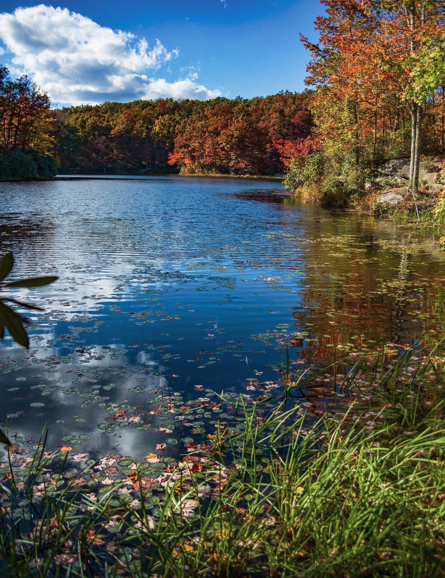
What the Seneca Creek backcountry is
Seneca Creek backcountry backpacking means the trail network below Spruce Knob, where Seneca Creek runs through spruce and northern hardwood past a series of waterfalls, the largest of them around 20 feet. The Forest Service manages roughly 60 miles of trail here as part of the Spruce Knob–Seneca Rocks National Recreation Area, 100,000 acres that Congress designated in 1965. Spruce Knob itself, at 4,863 feet, is the high point of the state and of the whole Allegheny range, and the creek drains the country beneath it. Native brook trout live throughout the system, dispersed camping is permitted, and the place sees far fewer people than Dolly Sods does for very similar country.
It is worth being clear about what this is not. Seneca Creek is national recreation area, not designated wilderness, and the main trail carries blue blazes — the wilderness areas elsewhere in the Monongahela are left unsigned and unblazed by design. That makes the walking here more legible than a trip into Dolly Sods or Otter Creek. The rest of the backcountry conditions still apply: trailheads sit on gravel forest roads rather than highways, there is no potable water anywhere in the drainage, and the creek is crossed several times with no bridges. Monongahela trails in general are lightly blazed, so a map and a GPS still belong in the pack.
Driving to the trailhead
The standard approach starts at Seneca Rocks. From there, take WV 28/55 south about 10 miles, turn onto Briery Gap Run Road for 2.4 miles, and then follow Forest Road 112 for about 11.4 miles to the trailhead on the right. The Forest Service is explicit that FR 112 is a forest road and not a highway, and that last stretch is the part people underestimate when they plan a departure time. Budget real driving time for it, and think about what the surface will be like if it rains hard while you are out for three days.
Other trailheads reach the network from different sides. The Bee Trail starts on County Road 29 along Gandy Creek, on the western side of the high ground. The Spruce Knob summit road is paved, but the approach is long and winding, and the summit is frequently in cloud — check the forecast for the ridge rather than for the valley towns, because the two are often describing different days. The same exposure is why Spruce Knob is a good dark-sky spot and a cold one: there is a stone-and-steel observation deck at the top and no shelter of any kind.
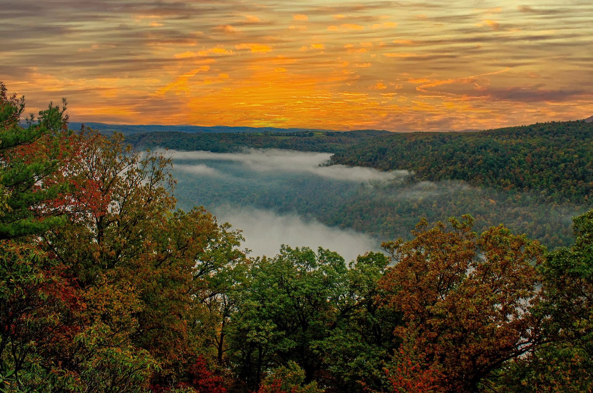
The trails a loop is built from
Seneca Creek Trail, FT 515, is the backbone: 5.2 miles one way, rated moderate, natural surface, blue blazes. It follows the creek past cascades and pools to the Horton Trail junction. Beyond that junction the route is unmaintained and runs toward posted private land, so the Horton junction is the practical end of the maintained trail rather than a place to keep pushing. The Forest Service does not publish an elevation-gain figure for FT 515, or for most of the trails in this network, so plan by mileage, water and daylight instead of by feet of climb.
The loop the Forest Service's own trail set points you toward combines Seneca Creek with the Huckleberry Trail, FT 533, 4.6 miles, a ridge route off Spruce Knob down into the drainage, and the Horton Trail, FT 530, 5.1 miles, which links the top of Seneca Creek Trail into loops and through-routes. Neither has a published gain figure either. Those three together are the classic circuit and the reason most people come. Which direction you walk it matters: Huckleberry comes off the high ground, so taking it first puts the climb back out at the end of the trip, and taking it last gets the climbing done while the pack is heavy.
The rest of the network is there for longer or shorter versions. Allegheny Mountain Trail, FT 532, runs 13.1 miles along the ridge through hardwoods and small clearings, with views into the Seneca Creek drainage once the leaves are off. Lumberjack Trail, FT 534, is 5.7 miles and useful for shortening a loop. Big Run Trail, FT 527, is 3.2 miles on a turn-of-the-century logging railroad grade, climbing gradually up Allegheny Mountain along a beaver-worked stream. Swallow Rock Trail, FT 529, is a 3-mile connector down to the creek, and Leading Ridge Trail, FT 557, is 5.3 miles between the Gandy Creek side and the high country. The Bee Trail, FT 555, climbs 1,000 feet to the top of Leading Ridge in a mile and a half.
Water, and the unbridged crossings
There is no potable water in the backcountry. You either carry what you need from the car or you treat the creek, and on a multi-day loop that means carrying a filter and using it. Highland water is abundant but tannic, so expect it to come out of the bottle tea-colored even after filtering. That color is normal for this country and is not a sign that the filter has failed. Carry a backup method as well — a spare element, or tablets — because with no potable source anywhere in the drainage, a clogged filter on the second morning ends the trip rather than inconveniencing it.
The crossings are the real variable. Seneca Creek Trail crosses the creek several times without bridges, which means spring melt and post-storm flows decide whether the walk works at all. A loop that is trivial in a dry September can be a series of committing fords after two days of rain in April. Look at the weather for the days before your trip, not only the days of it, and build a version of the plan that stays on one side of the creek if the water is up. Bring shoes you are willing to soak.
Camping and the fishery
Dispersed camping is permitted here, as it is across much of the Monongahela National Forest, so the trip does not depend on getting a site at a developed campground. Pick a spot well back from the water, and remember that with no potable water anywhere in the drainage, your camp choice is really a water-treatment decision. Seneca Falls, the largest of the falls at around 20 feet, is the destination most groups build the first night around. Because dispersed sites are unmarked, arrive with daylight left to look at more than one. In a spruce and hardwood drainage the flat ground near the creek is often the wettest ground, and the pitch that looks ideal in the evening can be collecting runoff by morning.
The creek holds native brook trout throughout, which changes how you should fish it. Barbless hooks and careful handling are the expectation on native brookie water, and a brook trout that goes back quickly goes back alive. If you want a shorter fishing day at the edge of the backcountry, Spruce Knob Lake sits on the forest roads below the summit, with trout fishing and a small campground beside it. A rod is worth the weight on this trip in a way it is not on a drier ridge walk, because the creek you are following is the fishery.
When to go, and what to do if the creek is up
The backpacking season in the Highlands runs April through November, and the terrain here asks for intermediate to advanced experience — not because any single mile is hard, but because the navigation, the fords and the water treatment all compound. Autumn is the strongest window for this drainage: the hardwood turns, the ridge trails open up once the leaves are off, and the bugs are gone. Autumn is also hunting season, which overlaps prime hiking directly, so wear blaze orange on wildlife management areas and think about where you are walking in November.
If the fords are running high or Forest Road 112 turns you back, there is easy walking nearby that does not require the creek. Spruce Knob Lake Trail, FT 575, circles the lake in a mile on the forest roads below the summit, and Whispering Spruce Trail, FT 567, loops half a mile around the 4,863-foot summit and its observation tower through wind-flagged spruce. For a different multi-day trip on gentler ground, the Laurel Fork wilderness units hold 18.5 miles of trail across 11,839 acres, most of it on old railroad grades — though the fords there can be a problem in high water too, and beaver activity regularly floods sections of the trail.
Reach people planning this trip
Placement alongside guides for outfitters, guides, shops and lodging.
List your business hereQuestions
How long is the Seneca Creek Trail?
How do you get to the Seneca Creek trailhead?
What is the best loop in the Seneca Creek backcountry?
Is there drinking water on the trail?
Can you camp anywhere in the Seneca Creek backcountry?
When is the season for backpacking here?
Read next
 Destination · Potomac Highlands
Hiking Dolly Sods
A practical guide to hiking Dolly Sods Wilderness: the main trails, route options, why it is navigationally serious, and how to reach Bear Rocks.
9 min read Destination · Potomac Highlands
Things to Do in Davis and Thomas, West Virginia
A guide to Davis and Thomas, West Virginia: Blackwater Falls, Dolly Sods access, Canaan Valley skiing and two of the best small towns in Appalachia.
8 min read Destination · Potomac Highlands
Blackwater Falls State Park
A complete guide to Blackwater Falls State Park: every waterfall and overlook, Lindy Point at sunset, the trails, lodging and the best season to visit.
8 min read · October