
Every organization we link to: local tourism offices, the state and federal agencies that manage the land, the nonprofits and clubs that keep access open, and the universities doing the research.
West Virginia has roughly 1.5 million acres of public land and a handful of places that carry almost all of the attention. The consequence is that a great deal of very good ground sits nearly empty, usually for one of three reasons: nobody has heard of it, the road in is gated or rough, or it is undeveloped and has nothing to advertise. Those are the places below — of them across regions.
Almost Heaven Swings
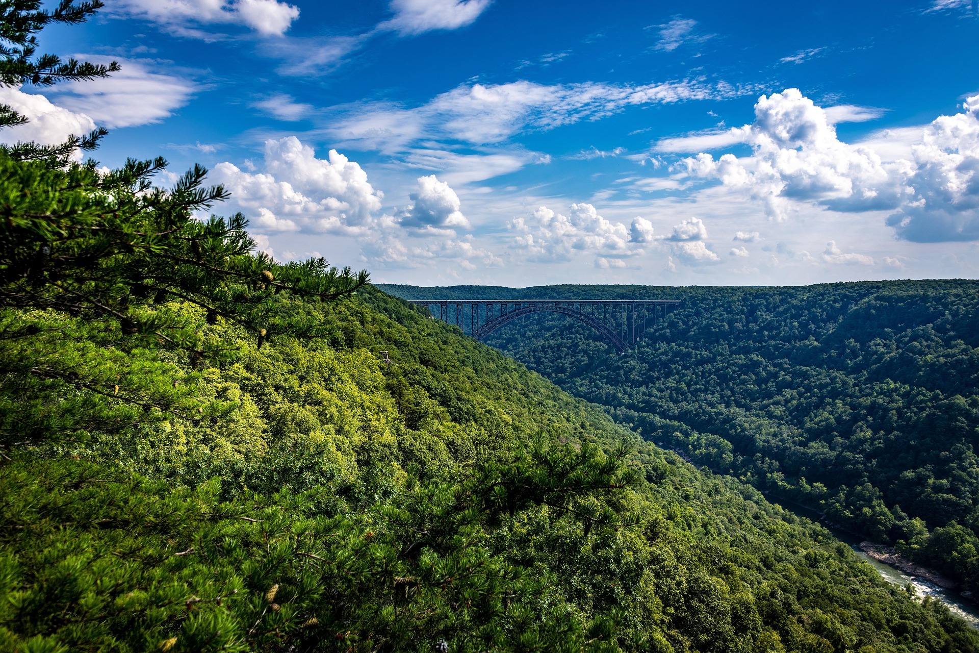
A swimming hole with a campground attached
Audra is 355 acres on the Middle Fork River, and the compactness is the whole point. The swimming area and the campground sit close enough together that you walk between them, which is a different kind of trip from driving to a day-use pullout and driving home.
That combination is rare. Plenty of West Virginia rivers have good water and no way to stay beside it. Audra is one of the better swimming holes in the state with an actual campground behind it, and the two together are what make the park worth a night rather than an afternoon.
Book campsites through the state park system. This record does not list how many sites the campground holds, what they cost, or whether any are electric, so get those specifics from West Virginia State Parks at wvstateparks.com.
Cold water and rounded boulders
The swimming area sits among rounded boulders in the Middle Fork, and the water is cold. It stays cold well into summer, which is worth knowing before you talk anyone into getting in.
The river bottom is all boulder, so footing is uneven from the moment you step off the bank. Shoes help far more than they hurt here. This is not a sand-bottomed pool and there is no gradual shelving to wade in on.
Levels and closures are the thing to check before you drive. Call the park and ask about water conditions and whether the swimming area is open, since a river-fed swimming hole is only as reliable as what the river is doing that week.
Nothing in this record describes lifeguard coverage, posted depths or a designated shallow end. Treat the swimming area as a river rather than a pool, keep an eye on anyone who is not a confident swimmer, and ask the office about supervision if that matters to your group.
Why cold water and boulders go together
Both facts come from the same source. A river running through a boulder gorge moves fast over rock and does not sit still long enough to warm, which is why the temperature holds into the summer months and why the bottom is scoured to rounded stone.
It also means the character of the swimming area is set by flow. Higher water changes where you can stand and how hard the current pushes; lower water exposes more rock. That is the reason to call about conditions rather than assume a fixed swimming hole.
For the same reason, arriving after heavy rain is a gamble. This record gives no guidance on what level makes the area unusable, so the park office is the only place to get an answer on the day.
The Alum Cave boardwalk
Alum Cave is a rock shelter with an overhang, and the boardwalk runs beneath it above the river. That is the trail to walk if you only walk one here, and it is the feature the park is built around alongside the swimming area.
The route is short, scenic and easy enough for children. Expect a scenic hour rather than a full day; 355 acres do not hold long mileage, and the other trails here are short too.
No length, surface or step count for the boardwalk appears in this record. If you need to know whether a stroller or a walker will manage it, ask West Virginia State Parks before you commit to the drive.
Two subjects for a camera
Photographs here come from two places: the boulder-filled river at the swimming area, and the rock shelter that the boardwalk carries you underneath. Working both is an easy morning.
Both sit close to parking, which matters when you are carrying gear, and both work in flat light. A gorge bottom under overcast is a cooperative subject in a way an open ridge is not, so a gray day is not a lost day here.
Wet rock near the water is slick. Set a tripod deliberately and watch your footing on the approach, particularly if you are backing up to frame the overhang.
Fishing the Middle Fork through the park
The Middle Fork runs through Audra cold and boulder-strewn, and that geometry tells you where to look. Fish hold in pockets and seams behind rock rather than in long open runs, so read the water structure by structure.
The park publishes nothing about what is stocked in this stretch or what people catch in it. That is a real gap, and it is not one to fill with assumption.
Check current West Virginia Division of Natural Resources regulations and stocking listings for the Middle Fork before you plan a trip around fishing. If the fish are the reason you are going, confirm first.
Shoulder season and what to confirm first
The park is small enough that a partial closure changes the visit substantially. Ask the office which campground loops are open if you are coming outside the core summer months, April and October being the obvious ones to check.
This record gives no operating dates, no fee schedule and no drive times from Morgantown, Buckhannon or anywhere else. Everything on that list comes from West Virginia State Parks, and a call before you leave costs nothing.
One thing you can plan on: the scale. Audra rewards a night and a slow morning rather than an ambitious itinerary, and treating it as a swimming and camping stop is treating it correctly.
Reach people planning this trip
Placement alongside guides for outfitters, guides, shops and lodging.
List your business hereQuestions
can you swim at audra state park?
what is alum cave at audra state park?
does audra state park have a campground?
what fish are in the middle fork river at audra state park?
Read next
 Best of
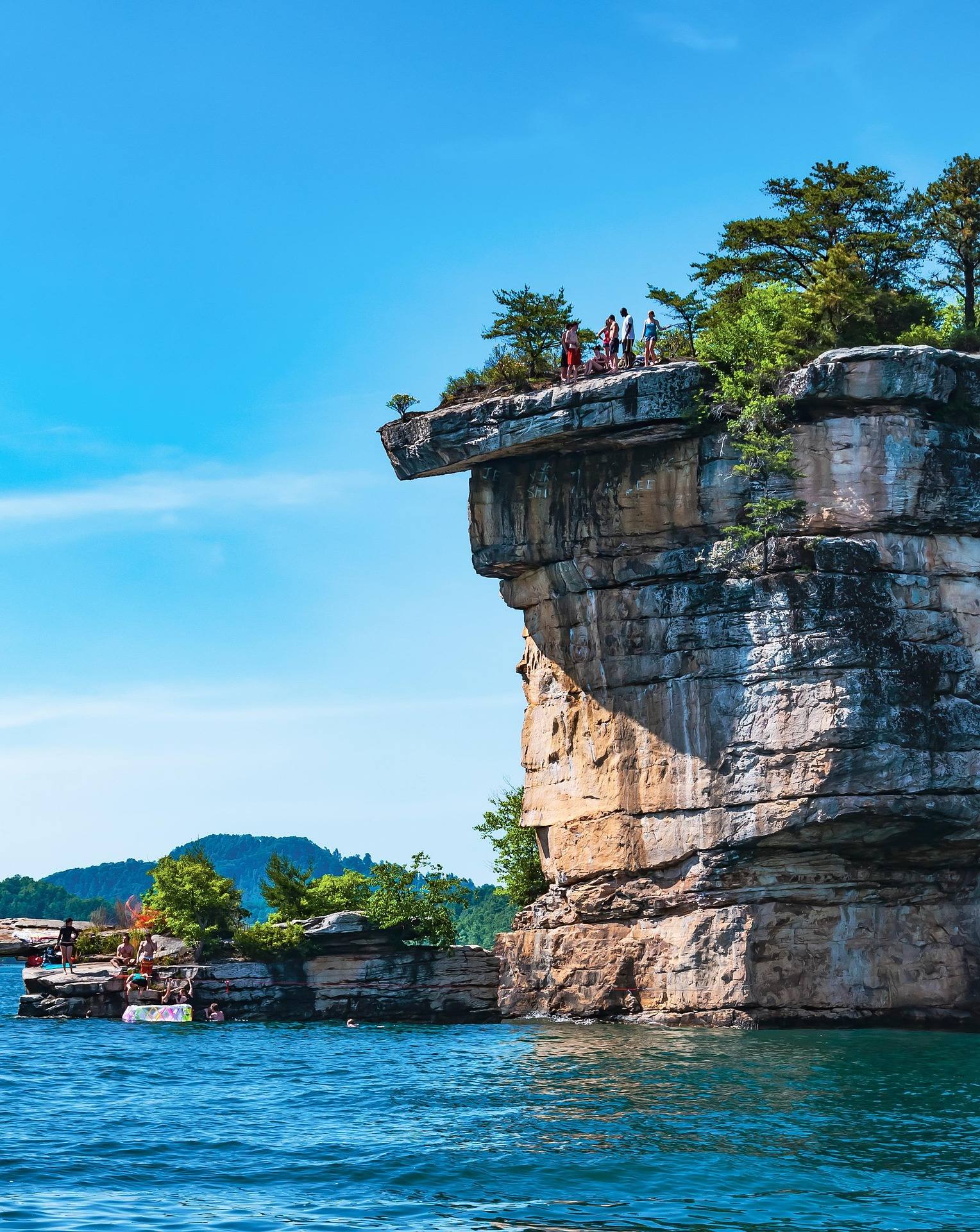
The Best Swimming Holes in West Virginia
West Virginia swimming holes and lake beaches, from Summersville Lake to CCC-built Blue Bend, with notes on the cliff-jumping risks.
7 min read · July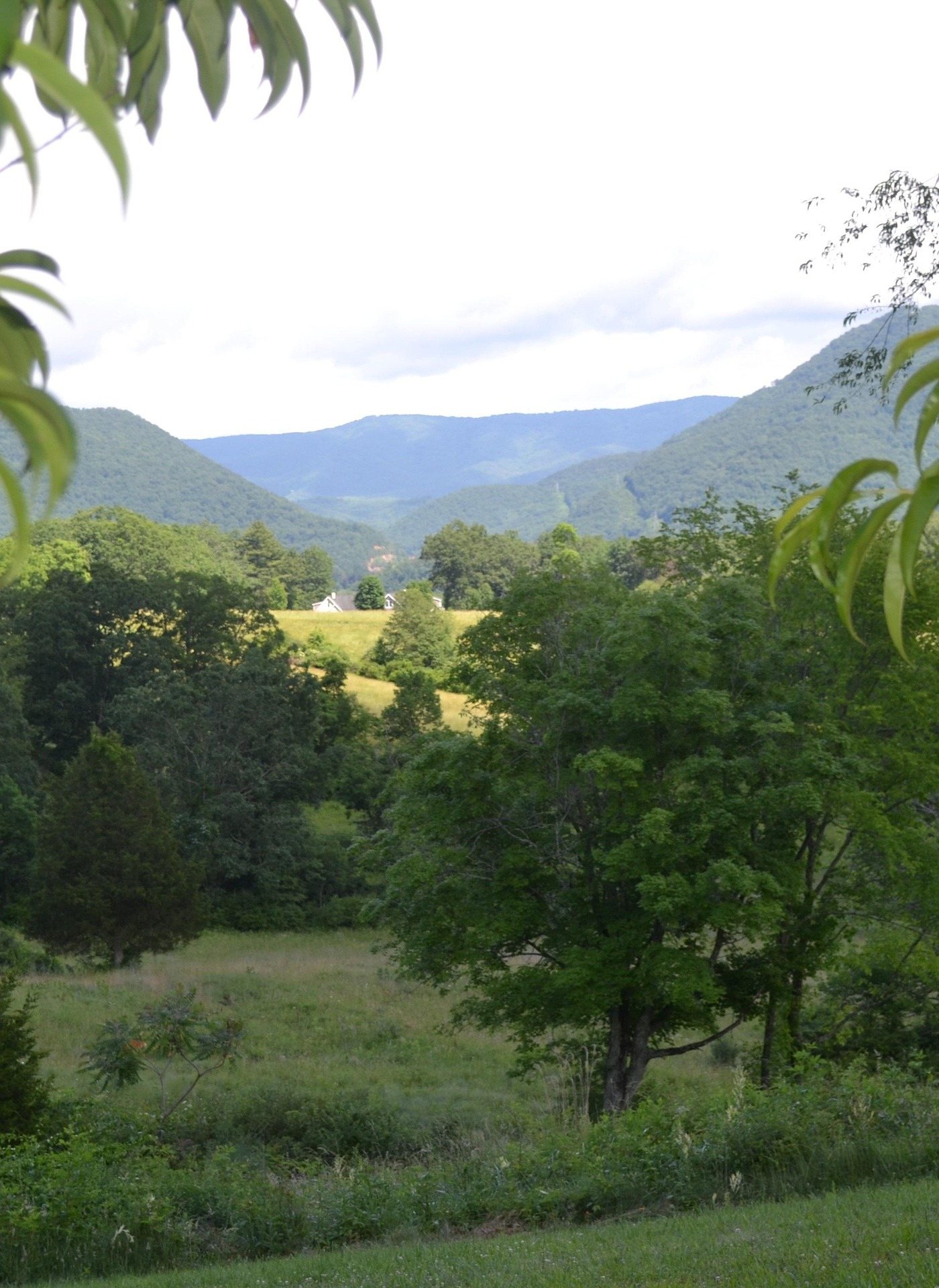 Guide · Mountaineer Country
Hiking Valley Falls State Park
What West Virginia State Parks publishes about hiking at Valley Falls, the slick rock above the ledges, and two nearby parks worth the drive.
7 min read · April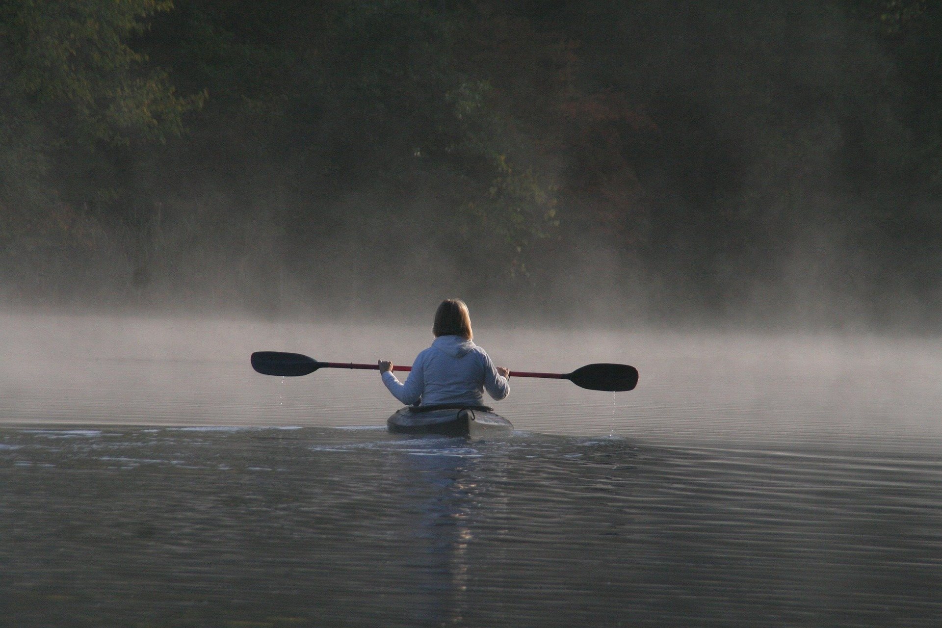 Destination · Mountaineer Country
Tygart Lake State Park: Fishing, Boating and Camping
A guide to Tygart Lake State Park near Grafton: the walleye, bass and muskie fishery, the marina, the 36-site campground and the lake rules.
7 min read · June