
Every organization we link to: local tourism offices, the state and federal agencies that manage the land, the nonprofits and clubs that keep access open, and the universities doing the research.
West Virginia has roughly 1.5 million acres of public land and a handful of places that carry almost all of the attention. The consequence is that a great deal of very good ground sits nearly empty, usually for one of three reasons: nobody has heard of it, the road in is gated or rough, or it is undeveloped and has nothing to advertise. Those are the places below — of them across regions.
Almost Heaven Swings

What the accessible list covers, and what it leaves to a phone call
Ten places on this site list accessible recreation: Sandstone Falls, the Greenbrier River Trail, Beartown State Park, the Cranberry Glades Botanical Area, Falls of Hills Creek, the Mon River Rail-Trail System, Cathedral State Park, Berkeley Springs State Park, the North Bend Rail Trail and North Bend State Park. The list spans National Park Service, Monongahela National Forest and WVDNR ground.
What the list does not do is grade itself. For a few entries the record says how far access extends; for the rest it says only that the place lists accessible recreation. Surface, running slope, gate widths, parking layout and restroom access are not published here, and those details decide a visit.
Build a shortlist from this guide, then call: WVDNR for the state parks, the Park Service for Sandstone Falls and the New River Gorge overlooks, the Monongahela National Forest for Cranberry Glades and Falls of Hills Creek. Ask about the access point you plan to use.
Three boardwalks, three different answers
The Cranberry Glades Botanical Area boardwalk is fully accessible, and the interpretation along it is excellent. If you want one destination where the access claim is unambiguous, this is it.
At Beartown State Park the boardwalk is the only access, and off-trail travel is not permitted. That cuts both ways: every visitor uses the same structure, which removes the question of whether the accessible route is the lesser one, but the boardwalk is also the entire park, so if a section is out there is no other way to the rock features.
Falls of Hills Creek is the honest partial. The upper falls section is accessible; the lower two are not. Plan the upper falls as the destination.
Rail-trails, where the trailhead matters more than the trail
On the Mon River Rail-Trail System, the Caperton section is fully accessible and busy with walkers. Busy is worth knowing in advance: it is a shared-use corridor, so expect bicycles and foot traffic in both directions.
The Greenbrier River Trail and the North Bend Rail Trail both appear on the accessible list, and the grade is why. A rail-trail is a converted railroad bed, and West Virginia's follow old logging and coal-hauling lines, which makes them gentle and consistent in a way mountain trails here are not.
The catch on a long trail is the way in. On the Greenbrier River Trail, the Clawson access at mile 61.2 is reached by five miles of unpaved mountain road. A gentle trail behind a rough approach is not accessible in practice, so ask which access points have paved parking.
The Extra Mile Trail at North Bend
North Bend State Park's Extra Mile Trail is designed for accessibility, with guide ropes and braille. It is the one entry in these records built from the outset for visitors with disabilities rather than adapted afterward, and the braille shows the design considered blind and low-vision visitors, not only wheelchair access.
North Bend appears twice on the accessible list, once as the state park and once as the 72-mile rail trail through the same area, which makes it a reasonable base for a trip built around accessible walking. Its length, surface and gradient are not published on this site; WVDNR is the office to ask.
Overlooks that need no walking at all
Twelve of the 29 overlooks on this site are drive-ups, among them Grandview Main Overlook, Hawks Nest Overlook, Sandstone Falls Overlook, Pendleton Point Overlook, the Seneca Rocks viewing area and the Highland Scenic Highway overlooks. Drive-up describes the distance from the car, not the surface between car and view, so confirm the last few yards where that matters.
Five carry conditions that bear on a trip planned around limited mobility. Coopers Rock Main Overlook is closed for bridge replacement with no announced reopening date. Bald Knob is reached by scheduled train only, and the run is not offered every day. At Bolar Lookout Tower the Canyon Rim Center is seasonal and the aerial tram runs a limited season. Forest Road 75 to Bear Rocks is unpaved, rough and not winter-maintained. The Cacapon mountain road closes in winter and stays open only to foot traffic, a four-mile walk.
One short-walk overlook comes off the list outright: the stone steps to Jefferson Rock are irregular and not accessible, the rock is unstable, and climbing it is prohibited. Of the other short walks, the Stonewall Resort overlook is 0.7 miles and rated easy, Pinnacle Rock is 400 feet and moderate, and Lindy Point Trail is 0.3 miles but moderate to difficult.
Sandstone Falls, Cathedral and Berkeley Springs
Sandstone Falls appears on the accessible list, and its overlook is separately logged as a drive-up, one of the few places here where viewpoint and accessible recreation are documented independently. Ask the Park Service which of the two you are routed to.
Cathedral State Park is on the list for its own reasons. Its virgin hemlock stand is directly threatened by hemlock woolly adelgid, which is why moving firewood matters here more than in most places. Buy local or certified heat-treated. Berkeley Springs State Park closes out the list, in the Eastern Panhandle, the corner of the state most reachable without a car: MARC and Amtrak both reach Harpers Ferry from Washington.
Cost, season and what to confirm before you drive
Nothing on the state park side of this list charges admission. Day use is free at all 35 state parks and 9 state forests, with fees only for camping, cabins, lodge rooms, pools, golf and rentals. No permit is required to hike state park, state forest or national forest trails.
Season shapes access more than cost. September and October are the busiest weeks of the year, and the most likely to produce full lots at the sites where parking position matters most. March and April leave trails muddy and can keep high-elevation trailheads snowed in.
Two last checks. Cell service is absent across most of the Highlands and restricted by law in the National Radio Quiet Zone around Green Bank, so carry the numbers you need on paper. And if an Almost Heaven Swing is part of the plan, read its listing: most sit a short walk from parking, a few require a modest hike, and the roster changes.
Reach people planning this trip
Placement alongside guides for outfitters, guides, shops and lodging.
List your business hereQuestions
Is there a wheelchair accessible trail in West Virginia?
Is Beartown State Park accessible?
Are all three waterfalls at Falls of Hills Creek accessible?
Do accessible sites in West Virginia state parks charge a fee?
Read next
 Best of
West Virginia Overlooks, Sorted by How Far You Walk
Every notable West Virginia overlook sorted by effort: drive-up terraces, 400-foot walks and full-day climbs, with gate hours and current closures.
9 min read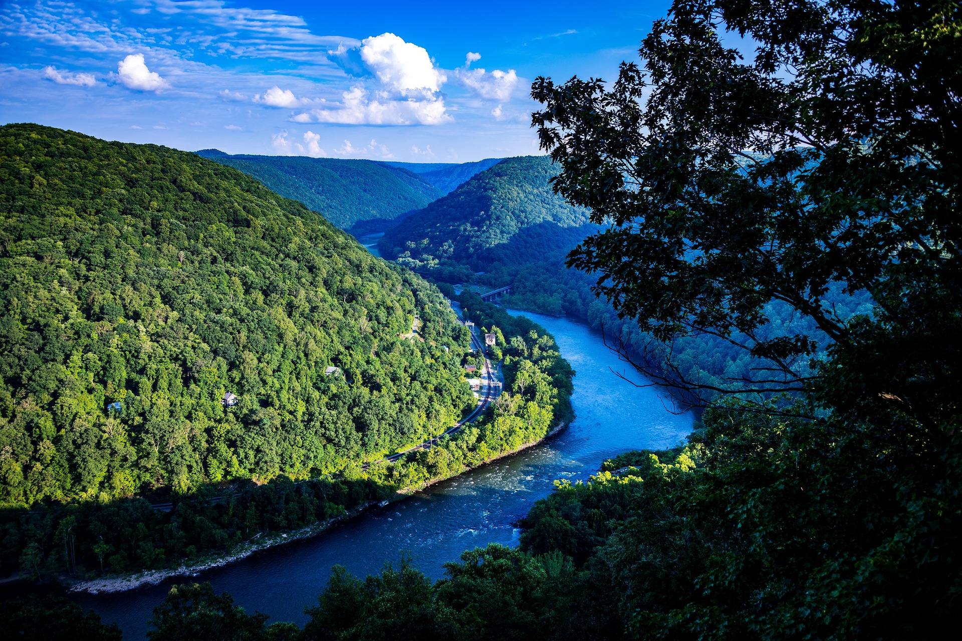 Destination · New River Gorge
Sandstone Falls: A Complete Guide
A guide to Sandstone Falls: 1,500 feet wide, a 10 to 25 foot drop, a stairless boardwalk across two islands, the rim overlook, and the drowning risk.
8 min read · June Guide · Mountaineer Country
The Mon River Rail-Trail System: A Complete Guide
How three trails make 48 miles of crushed limestone: the Caperton riverfront, the run north to Pennsylvania, and the 19-mile Deckers Creek climb.
8 min read · May