
Every organization we link to: local tourism offices, the state and federal agencies that manage the land, the nonprofits and clubs that keep access open, and the universities doing the research.
West Virginia has roughly 1.5 million acres of public land and a handful of places that carry almost all of the attention. The consequence is that a great deal of very good ground sits nearly empty, usually for one of three reasons: nobody has heard of it, the road in is gated or rough, or it is undeveloped and has nothing to advertise. Those are the places below — of them across regions.
Almost Heaven Swings
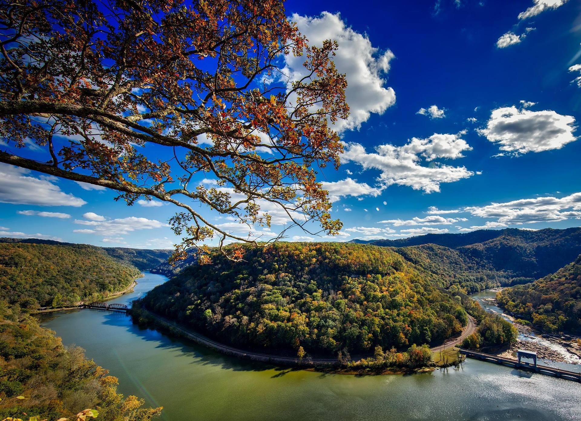
What the Elk River Rail Trail is built on
The Elk River Rail Trail is being developed on the former Buffalo Creek & Gauley and Elk River Railroad grades, which opened a long, remote corridor along the Elk between Gassaway and Clendenin before the tracks came up. West Virginia State Parks lists the trail at 73 miles from Clendenin to Gassaway. The Elk River Trail Foundation is the organization building it out, and the trail office is at 12 Buffalo Creek Road in Clay. The trail is open 24 hours. In a state where most of the good walking climbs, the corridor offers something scarce: a long stretch of nearly level ground with a river beside it for the whole distance.
A water trail on the Elk is being developed alongside the land trail, which is what makes this one of the more ambitious recreation projects in central West Virginia. The two are meant to work together. The grade follows the river closely enough to be the easiest paddling and fishing access on the Elk, so the trail functions as the bank and the put-in as much as it does a bike route. This is the geographic center of the state and its least-visited region, eight counties of it, and the corridor runs through the emptier end. Clendenin, Clay and Gassaway are the names to know along it.
What is open and what is still planned
The published status for the trail is developing, and sections open progressively. That means the 73 miles describes the corridor, not a promise about what you can ride on the day you arrive. The Elk River Trail Foundation is the place to check current status before you load the car, and it is the only source worth trusting on that question, because a section that was closed last season may be surfaced now and no printed guide keeps pace with it. No completion date for the full corridor is published, so treat any figure you see for total open mileage as perishable and confirm it.
West Virginia State Parks does not publish an elevation-gain figure for the Elk River Trail, and it does not publish a difficulty rating either. Rail-trails in this state are generally rated for beginners and their grades rarely exceed 2 percent, which is the reasonable expectation on a railroad grade, but neither number is on the record for this trail specifically. The other published caution is about distance from help rather than difficulty: the corridor is remote, with long stretches between services. That is the fact that shapes how far out you should ride before turning around.
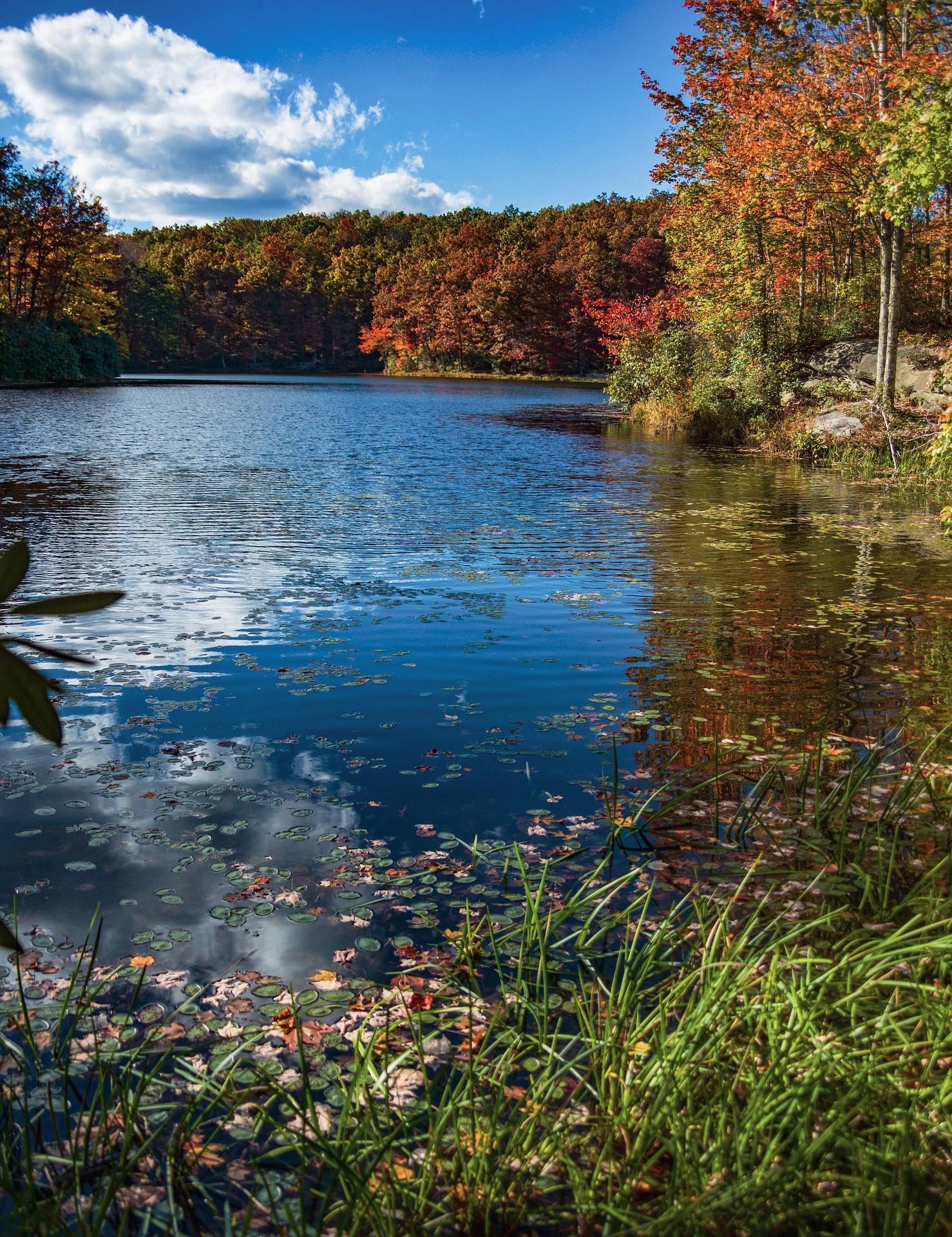
Riding, running and walking the open sections
The trail is listed for gravel biking, road running and fishing access as much as for walking, and the season is year-round. A developing rail-trail is not a paved bike path, and no surface description is published for the Elk River Rail Trail, so wide tires are the sensible choice until you have seen the section you plan to ride. On a 73-mile corridor you are choosing your own turnaround, and a railroad grade gives you no natural one — no climb tells you that you have gone far enough, which is how riders end up further out than they intended.
Carry your own water and food. Long stretches between services is the defining practical fact of a day here, and no inventory of what is available at any point along the corridor is published. Cell coverage in this part of the state should not be assumed. Tell someone which end you started from and roughly when you expect to be back, because a broken chain or a flat you cannot fix in the middle of the corridor turns into a long walk in whichever direction you choose. Rail-trails are the most accessible recreation in West Virginia; remote ones still ask for self-sufficiency.
The water trail and the paddling
The float that matters most to visitors is the Elk below Sutton, Class I to II, June through September. It begins as cold tailwater below Sutton Dam and turns into pleasant summer float water further down, through some of the emptiest country in the state. The published cautions are serious. Commercial support is thin to nonexistent, so this is self-supported paddling only, and dam releases change the river fast — check the release schedule before you commit to a stretch. The top of that water is trophy trout water, so expect anglers on it and give them room as you pass.
Well above the trail corridor, the upper Elk is a different river. American Whitewater's reaches from Slatyfork to the Elk Springs fish hatchery, Elk Springs to Bergoo, Bergoo to Webster Springs, and Webster Springs down to the CR 7 bridge are all rated Class II to III. The top reach carries the name the Dry Bed of the Elk, because the river loses its flow underground above Elk Springs and the Slatyfork section is not reliably runnable as a result. Below Webster Springs it settles into Class II to III again. USGS gauge readings will tell you whether it is worth the drive.
Access, parking and what the agencies do not publish
Clendenin and Gassaway are the two ends of the corridor, and Clay is where the trail office sits, at 12 Buffalo Creek Road. Past that, the published specifics are thinner than a planner would like. On the river, WVDNR publishes individual access sites only through its interactive map rather than as a list, so there is no printable inventory of ramps and pull-offs to work from at the kitchen table. Facilities and fees are not published for the reach endpoints at Slatyfork, Elk Springs, Webster Springs, or the CR 7 bridge and gauging station.
WVDNR does list the upper Elk among its stocked trout waters, so bank access exists in places the agency has not catalogued site by site. For the corridor itself, the workable approach is to take a single access point from the foundation's current information, park there, and plan an out-and-back on foot, bike or boat rather than assuming a shuttle service exists to bring you back. Downstream of Clay the river has warmed into smallmouth water, which is why you will see anglers using the grade as a walking access rather than a bike route.
When to go
The trail season is year-round, which is the standing advantage of a railroad grade over a mountain trail. Autumn is the obvious draw, when the hardwood along the river turns, and September is the best compromise month: the water is still warm enough to float, and the corridor is quieter than a summer weekend. The tubing window on the Elk below Sutton is June through September, so a late-summer trip is the one that lets you combine trail miles and river miles in the same weekend without watching the forecast for a cold snap.
Spring melt raises the river and makes the water trail a different proposition than it is in August. Sutton Lake's level fluctuates with flood control operations upstream, so the release schedule rather than the calendar decides what the Elk is doing on any given day. In winter the grade is still walkable and the trail is still open around the clock, but remoteness bites harder when daylight is short and nothing along the corridor is staffed. Check gauge readings and the dam release schedule together before committing to a shoulder-season trip on the water.
If you want a longer or better-established trail
West Virginia's rail-trail inventory is one of the best per capita in the country, and the finished trails are close enough to serve as substitutes when the Elk corridor is not open where you wanted it. The Greenbrier River Trail runs 78 miles with 35 bridges and 2 tunnels. The North Bend Rail Trail runs 72 miles through 13 tunnels, and you need lights for those tunnels. The Mon River system links Morgantown to the Pennsylvania line and is the choice if you want towns and food along the route rather than solitude between them.
If the river is the problem rather than the trail — too high in spring, too low in late summer — the region's Corps of Engineers reservoirs hold reliable flatwater from April through October, and their levels are published by the Army Corps district office. Big Ditch and Bulltown are the quiet-water paddling options nearby. For current mileage on any West Virginia rail-trail, TrailLink and the West Virginia Rails-to-Trails Council keep the best inventories, and for the Elk specifically the trail foundation is the authority on what has actually opened.
Reach people planning this trip
Placement alongside guides for outfitters, guides, shops and lodging.
List your business hereQuestions
How long is the Elk River Rail Trail?
Is the whole trail open yet?
Is there a fee, and what are the hours?
Are there services along the trail?
Can you paddle the river next to the trail?
How hard is the trail?
Read next
 Guide · Mountain Lakes
Fly Fishing the Elk River
The Elk's cold tailwater below Sutton Dam, its wild browns and catch-and-release water, the sulphur hatch, smallmouth downstream and how to find access.
9 min read · May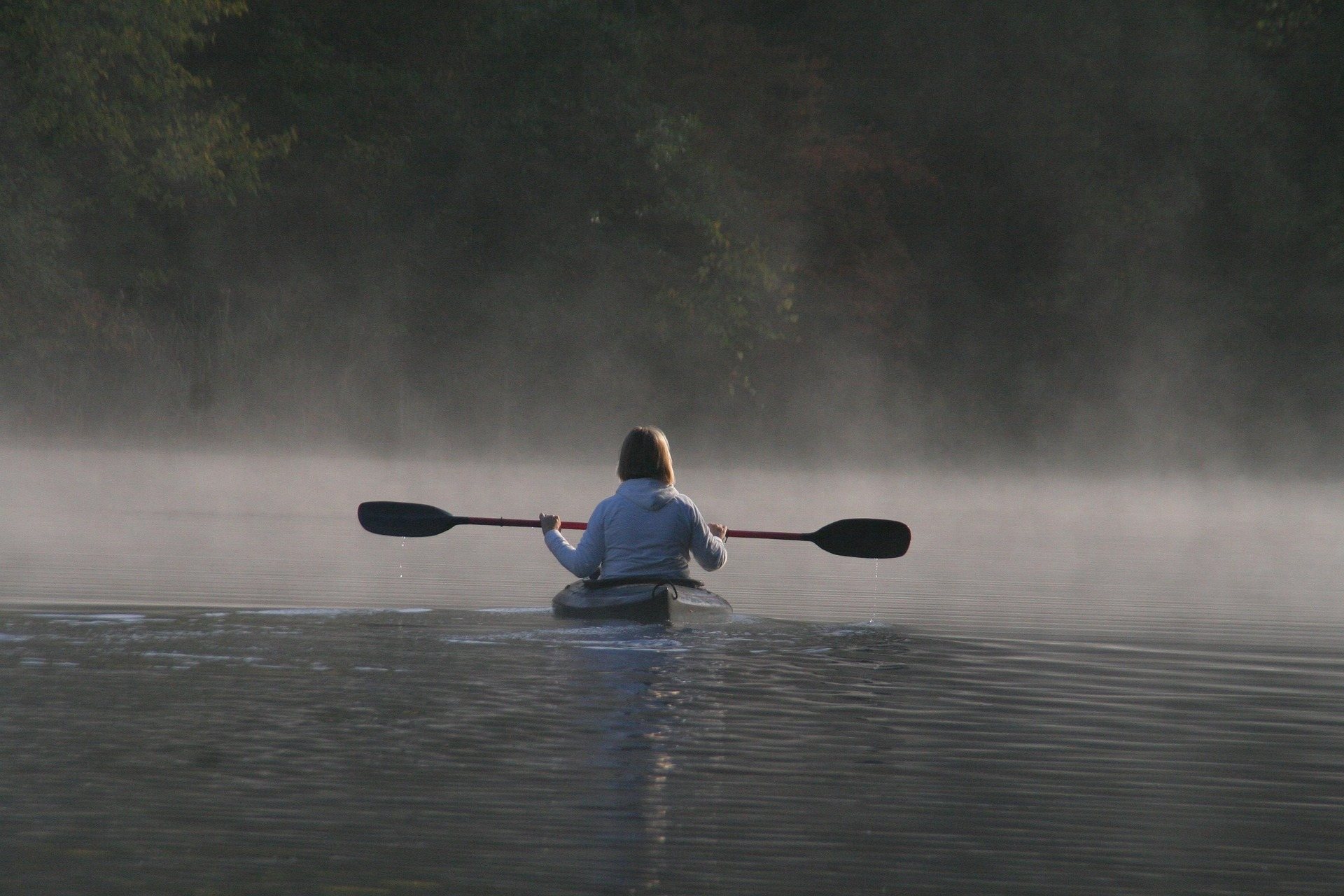 Destination · Mountain Lakes
Things to Do in Sutton, West Virginia
Paddling, cold-water trout fishing, summer floats, rail-trail miles and the parks and forests around Sutton, at the geographic center of West Virginia.
9 min read Best of · Mountain Lakes
The Best Hikes in Holly River State Park
Potato Knob, Railroad Grade, Tramontane, Reverie and the accessible Laurel Fork loop, trail by trail, with the lengths and ratings the park publishes.
9 min read · June