
Every organization we link to: local tourism offices, the state and federal agencies that manage the land, the nonprofits and clubs that keep access open, and the universities doing the research.
West Virginia has roughly 1.5 million acres of public land and a handful of places that carry almost all of the attention. The consequence is that a great deal of very good ground sits nearly empty, usually for one of three reasons: nobody has heard of it, the road in is gated or rough, or it is undeveloped and has nothing to advertise. Those are the places below — of them across regions.
Almost Heaven Swings
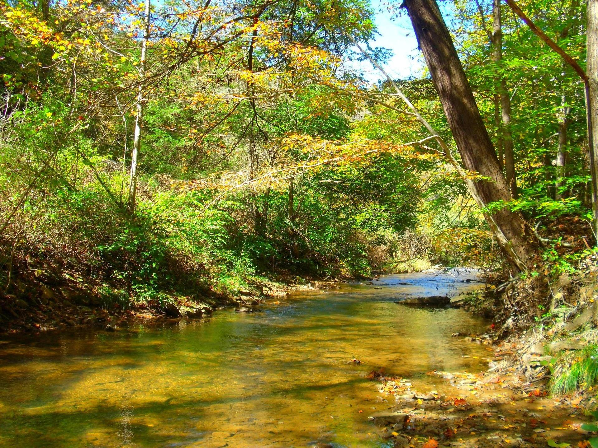
One acre, and the only one of its kind
Trout Pond is the only natural lake in West Virginia. It formed as a sinkhole, and it covers one acre, which is small enough that a first-time visitor can walk past it assuming the real attraction is somewhere further on.
Its defining behavior is that the level moves. The pond fluctuates dramatically with groundwater, so how much water is in it on the day you arrive depends on what the water table has been doing for weeks beforehand. Nobody publishes a forecast for that, and it is a reason to hold your expectations loosely rather than build a trip around one photograph you saw of it.
No vessels of any kind are allowed on the pond. Not a boat, not a canoe, not anything you inflate at the tailgate.
Fishing one acre from the bank
Trout Pond holds native brook trout, and with vessels banned the whole thing is a bank fishery. One acre fished from shore rewards a quiet approach and short accurate casts far more than it rewards gear.
The fluctuating water level is a working variable for an angler rather than a piece of trivia. What the pond looks like in one month and what it looks like in another may not be the same pond, and the fish have to deal with that too. Standard West Virginia licensing applies; the Lee Ranger District is the place to ask about any site-specific rules on the pond itself.
Rock Cliff Lake takes the swimmers
Beside the natural pond sits Rock Cliff Lake, 12 acres and man-made, and this is where most people actually spend the day. It carries the sandy beach. Electric motors only, no gas.
The practical division is clean. Boating and beach time happen on the 12-acre lake; the one-acre natural pond is for looking at and fishing from the bank. Most visitors who come for a summer afternoon never work out which of the two waters is the geologically unusual one, which is exactly why the place stays quiet.
Two seasons, two sets of dates
Day use runs April to December. The campground opens only from early May to October. Those windows are different lengths, and the gap is useful: for roughly two months after the campsites shut, the trails and the water are still open to anyone who will drive in for the day.
Day use costs $8 per vehicle. Campsites are $25, double sites $40, and electric adds $7 on top of the site fee. The campground has a reputation for being quiet and well run, which is worth more at a small recreation area than a long amenity list would be.
Site counts, reservation windows and hookup detail beyond the electric surcharge are not published in this record. Confirm those with the ranger district before you plan on a holiday weekend.
Trails toward Long Mountain
Trails leave the recreation area toward Long Mountain and carry on into the Lost River State Forest country beyond it. No mileage is published for them here, and no loop is described, so plan them as out-and-back walking until somebody at the district office tells you otherwise.
No bike-specific trail is listed at Trout Pond either. Whether the Long Mountain paths are open to bicycles is a question for the Lee Ranger District, and it is better asked before you load a bike than after you unload one. Either way the same $8 per vehicle gets you in to look.
Because day use extends into December, the walking here outlasts the camping by two months. A November hike is a legitimate plan at Trout Pond even with the campground closed behind you.
The right agency, and where this sits
This is national forest ground rather than a state park, and the detail that catches people out is which forest. Trout Pond lies in the George Washington National Forest, administered by the Lee Ranger District of the George Washington and Jefferson National Forests. It is not Monongahela ground, and calling the Mon will not get you an answer about it.
Geographically this is Hardy County, in the Eastern Panhandle. Elevations across the region are lower, temperatures warmer and rainfall lower than the rest of West Virginia, and the streams run over limestone rather than sandstone. That is the same geology that dissolves a sinkhole and fills it with water. The Cacapon and Lost rivers nearby give gentle canoe water and smallmouth fishing.
The region sits roughly 90 minutes from Washington, D.C., which explains much of the traffic the Eastern Panhandle sees, and also means Trout Pond is an easy addition to a trip already headed for this corner of the state.
Reach people planning this trip
Placement alongside guides for outfitters, guides, shops and lodging.
List your business hereQuestions
What is the only natural lake in West Virginia?
How much does it cost to camp at Trout Pond Recreation Area?
Can you swim at Trout Pond?
Who manages Trout Pond Recreation Area?
Read next
 Destination · Eastern Panhandle
Trout Pond Recreation Area: A Complete Guide
The only natural lake in West Virginia, Rock Cliff Lake's beach, the campground fees and season windows, and why the ranger district matters here.
7 min read · June Best of · Eastern Panhandle
The Best Hikes in Lost River State Park
Cranny Crow at 3,200 feet by a 2-mile hike or most of the way by car, what the park publishes about its trails, and the river that goes underground.
7 min read · October
Best of · Eastern Panhandle
Camping in the Eastern Panhandle of West Virginia
Two state parks, a George Washington National Forest campground and 22,928 acres of primitive ground, with the booking system and season window for each.
7 min read · September