
Every organization we link to: local tourism offices, the state and federal agencies that manage the land, the nonprofits and clubs that keep access open, and the universities doing the research.
West Virginia has roughly 1.5 million acres of public land and a handful of places that carry almost all of the attention. The consequence is that a great deal of very good ground sits nearly empty, usually for one of three reasons: nobody has heard of it, the road in is gated or rough, or it is undeveloped and has nothing to advertise. Those are the places below — of them across regions.
Almost Heaven Swings
The park, and the hike everyone comes for
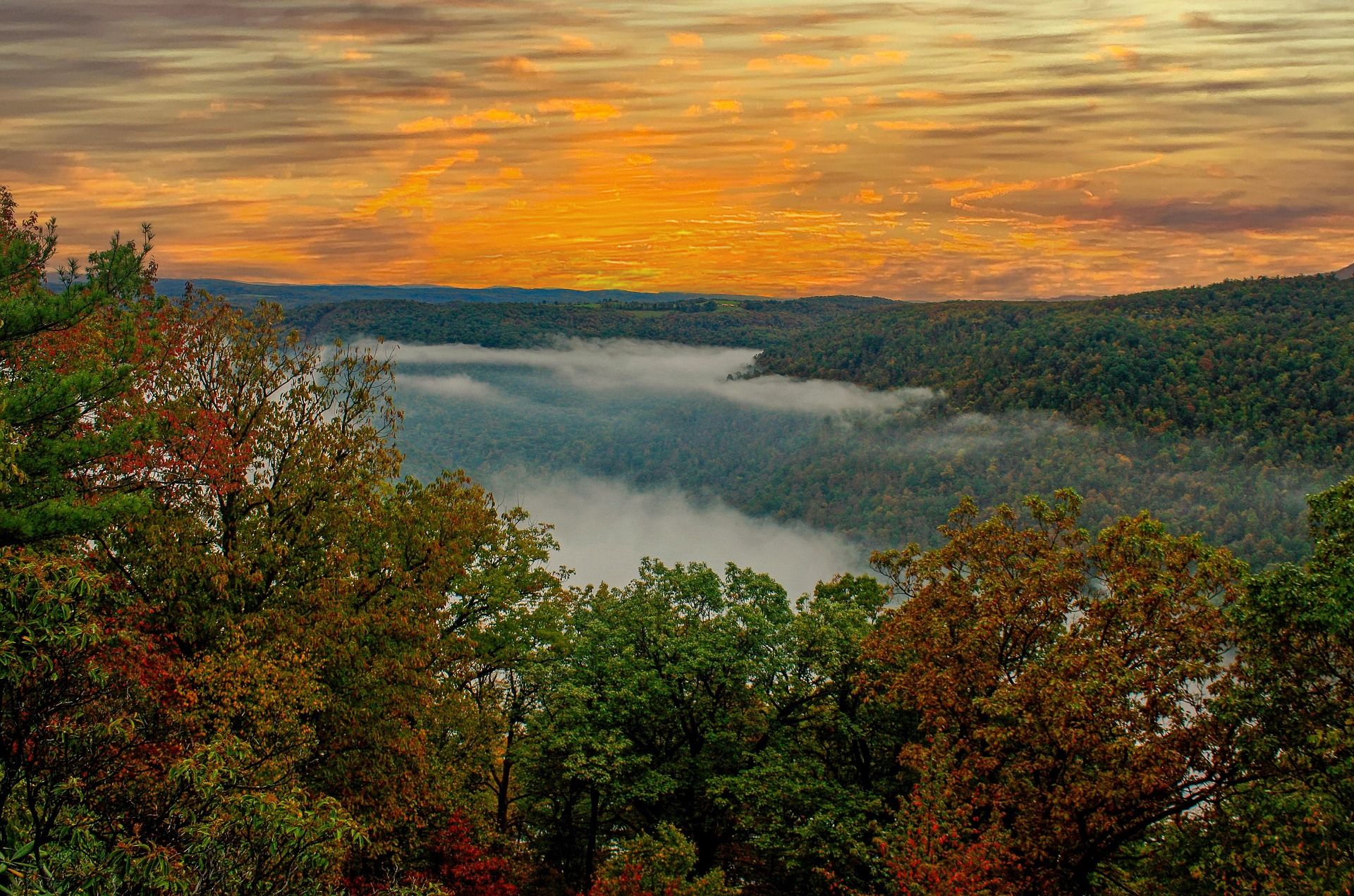
Lost River State Park hiking is organized around one destination. Cranny Crow Overlook sits at 3,200 feet on a rock outcrop above a 3,712-acre CCC-era park in Hardy County, and the park's cabins, stables and developed area lie below it. The overlook is reachable by a 2-mile hike or by driving most of the way, which is the single most useful thing to know about the place: the best view in the park is available to people who cannot walk two miles uphill, and the trail is not the only way you will meet other people at the top.
The park takes its name from the Lost River, which sinks underground and re-emerges downstream as the Cacapon. The river drops off sharply underground near Baker. That is not a curiosity bolted onto a park name — it is the reason this end of the state looks the way it does, and it is why a trip here pairs naturally with the sinkhole country further into Hardy County. Limestone under a valley makes rivers behave like that, and it makes the ground above them drier than the map suggests. The cabins and the stable sit below the ridge, which is why most visits here run to two days rather than an afternoon.
What the park publishes, and what it does not
Two figures cover Lost River State Park hiking: 2 miles to Cranny Crow, and 3,200 feet at the outcrop. The park does not publish an elevation gain for that hike, does not publish a surface, and does not publish mileages for the rest of its trail network. Anything you read that gives Lost River State Park a precise trail inventory with distances is not quoting the agency. Get the park map at the office and treat the 2-mile figure as the one number you can plan against. Nothing published gives a time for the walk either, so budget by the grade you find rather than by the distance.
That is less of a problem than it sounds, because the park is compact — 3,712 acres with the cabins, the stable and the developed area clustered below the ridge. It does mean you should not plan a long linked day here from a spreadsheet. Plan the overlook, see what the map offers when you arrive, and keep the drive-up option in reserve for anyone in the group who runs out of legs partway through the afternoon. Two miles is short enough that going up and coming back a different way, if the map offers one, is the better use of an afternoon.
Lost River State Park hiking in October
October is when the four-state claim at Cranny Crow gets tested, because the hardwood forest on the ridge turns and the summer haze that flattens long views has usually gone. The Eastern Panhandle sits lower, warmer and drier than the rest of West Virginia, which stretches the comfortable hiking season later here than in the Highlands. A two-mile climb to an outcrop is a good short October day, and the drive-up alternative means bad weather does not cancel the view for the rest of the group. Cranny Crow is an outcrop rather than a built platform, so mind children near the edge of it.
October is also hunting season, and hunting seasons overlap the best autumn hiking in this state. The blaze orange advice attaches to wildlife management areas rather than to state parks, but Hardy County is rural and there is hunted ground around the park boundary, and orange costs nothing to wear. Check what is in season before you go if you intend to walk beyond the park's own trails, and keep dogs close where the park allows them at all. Hunting also means gravel roads with traffic on them at first light, which matters on the drive in more than on the trail.
Riding instead of walking
Lost River is one of the few West Virginia state parks with a working stable and guided rides. Horseback is a listed activity here alongside hiking, mountain biking, photography, camping and birding, and the stable is the reason many people book the cabins in the first place. If you are on foot, expect horses on shared ground and expect churned tread where they have been after rain. The park does not publish which trails are shared, so ask at the stable rather than working it out on the hoof. Guided rides mean you do not need your own horse or a trailer to use the stable.
The Civilian Conservation Corps built this park, and the CCC-era layout is still what you walk through: stone and timber work, cabins set back in the trees, and trails cut to reach viewpoints rather than to link an efficient network. That history is why a single 2-mile line to Cranny Crow exists at all, and why the park reads as one designed property rather than a collection of unrelated trailheads with a sign at each. The cabins are the accommodation here and camping is a listed activity alongside them, and both put you below the ridge rather than on it, which is why Cranny Crow reads as a destination rather than a viewpoint you pass.
Where the river goes, and why the ground here is odd
The Lost River sinks and comes back as the Cacapon, going underground sharply near Baker. Limestone country does this: water finds a joint, works it into a passage, and the surface stream disappears while the valley above stays dry. The same process elsewhere in Hardy County produced the only natural lake in West Virginia — a small sinkhole pond at Trout Pond Recreation Area in the George Washington National Forest, which rises and falls dramatically with the groundwater rather than with the week's weather. West Virginia has exactly one natural lake, and it is in this county for that reason.
For a hiker the practical version is this: streams here are not a water plan. A channel on the map may be dry, and a dry channel may be running next month. Carry water for the whole walk. Streams in this region also run clear rather than tea-colored, because they come off limestone rather than the sandstone that colors water in the Highlands — a pleasant thing to look at and not a statement about whether it is safe to drink. Filter anything you do take from a stream, and do not count a blue line on a map as a water source.
Around the park
Trout Pond Recreation Area is the other public land in the county worth a day: the natural sinkhole pond, the larger man-made Rock Cliff Lake with its sandy beach, a campground, and trails running toward Long Mountain and into the Lost River State Forest country. It is managed by the Lee Ranger District of the George Washington and Jefferson National Forests rather than the Monongahela, which matters when you go looking for a map or a ranger to ask about conditions. Mileages for those trails are not published either, which puts both properties in the same position: bring the agency's own map.
If you want a long view without an outcrop, Cacapon Mountain Overlook further north above Berkeley Springs is a drive-up with a four-state view of its own. Cranny Crow's advantage over it is the two miles of walking — the outcrop puts you somewhere a road does not go, even though a road gets you most of the way there. Cranny Crow sits at 3,200 feet and the Cacapon Mountain overlook is a drive-up, so the two are not substitutes so much as different amounts of effort for a long view.
Reach people planning this trip
Placement alongside guides for outfitters, guides, shops and lodging.
List your business hereQuestions
How long is the hike to Cranny Crow Overlook?
Can you drive to Cranny Crow?
How big is Lost River State Park?
Does the park publish trail mileages?
Why is it called the Lost River?
Can you ride horses at Lost River State Park?
Read next
Best of · Eastern Panhandle
The Best Hikes at Harpers Ferry
Every Harpers Ferry hike with official NPS distances and elevation gain: Maryland Heights, Loudoun Heights, Jefferson Rock, plus current closures.
8 min read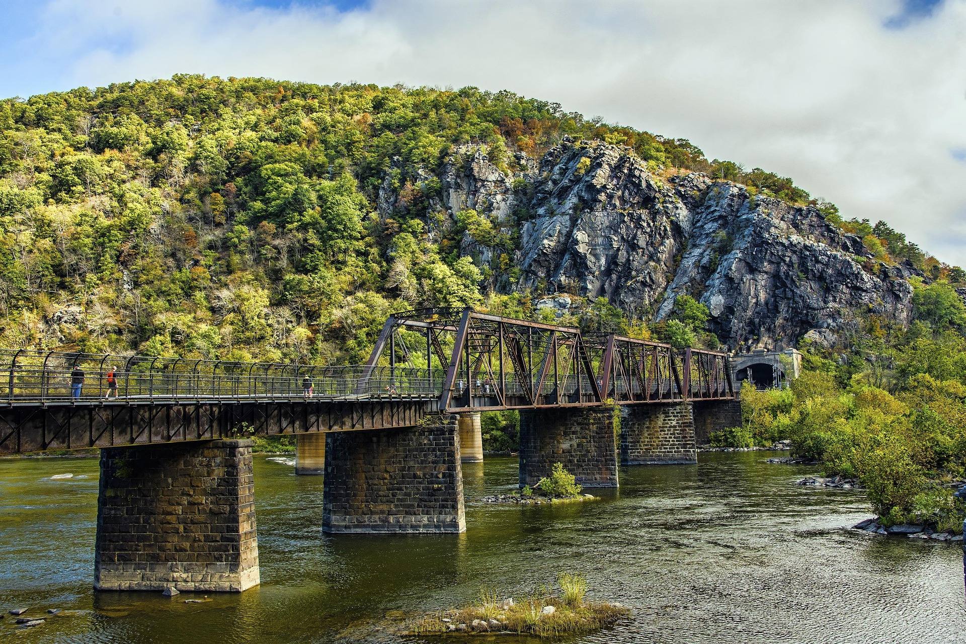 Destination · Eastern Panhandle
Things to Do in Harpers Ferry
A guide to Harpers Ferry, West Virginia: the historic Lower Town, the best hikes and overlooks, tubing and rafting, the Appalachian Trail and where to start.
8 min read Best of · Eastern Panhandle
The Best Hiking Trails in Berkeley Springs
Trail by trail on Cacapon Mountain and Sleepy Creek Mountain: the four mileages the state park publishes, the drive-up views, and what nobody publishes.
8 min read · October