
Every organization we link to: local tourism offices, the state and federal agencies that manage the land, the nonprofits and clubs that keep access open, and the universities doing the research.
West Virginia has roughly 1.5 million acres of public land and a handful of places that carry almost all of the attention. The consequence is that a great deal of very good ground sits nearly empty, usually for one of three reasons: nobody has heard of it, the road in is gated or rough, or it is undeveloped and has nothing to advertise. Those are the places below — of them across regions.
Almost Heaven Swings
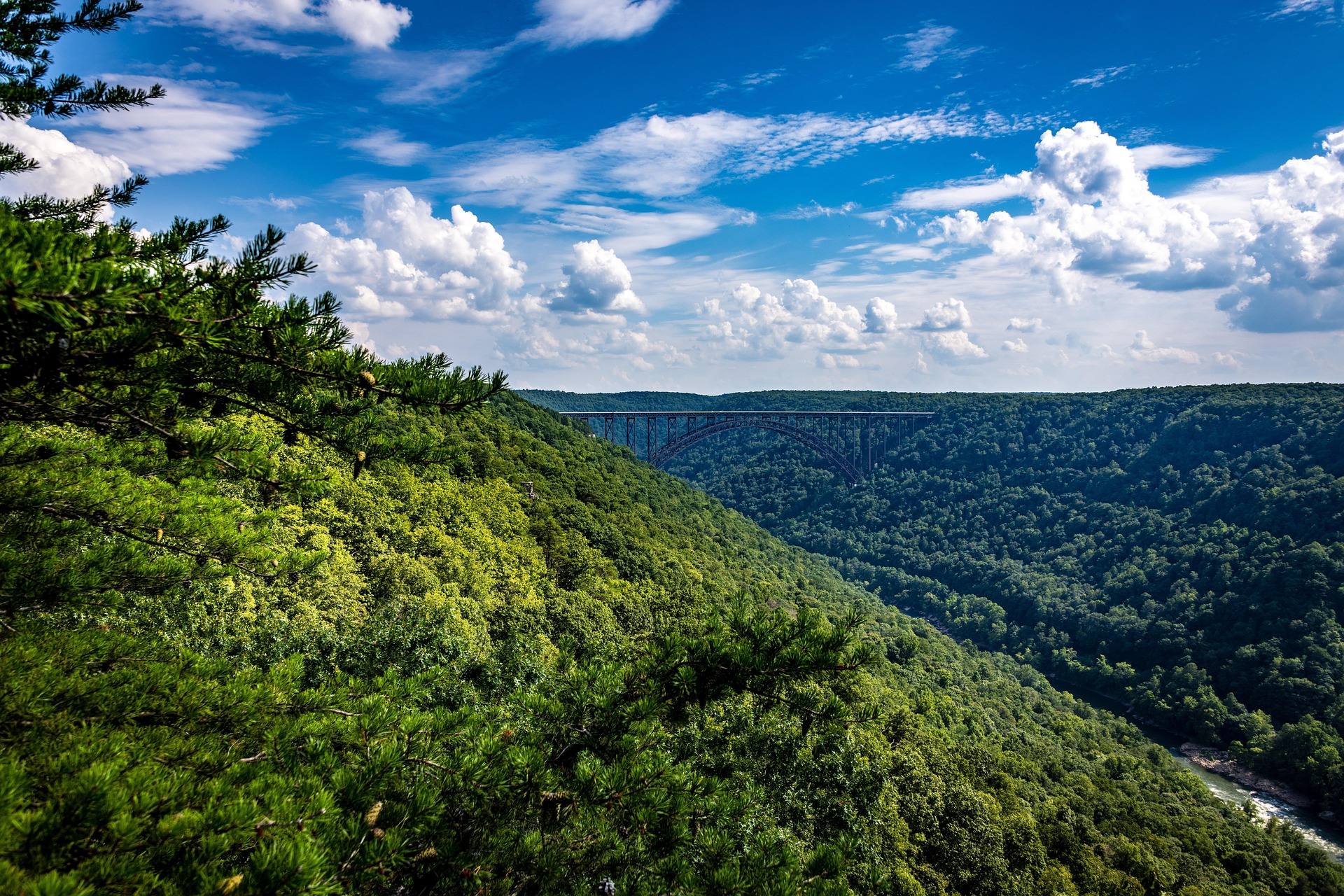
The largest wilderness in the state, and the least marked
Second-growth northern hardwood and red spruce cover 47,815 acres of high plateau here, more than any other wilderness in West Virginia. More than 70 miles of trail are maintained across it. None of them are blazed, and the junctions carry no signs.
That is a design decision, not neglect. The unmarked condition is part of what the designation preserves, and the practical consequence lands on you: carry a map and compass and have the skills to use them. It applies to a short afternoon as much as to a four-day route, because a wrong turn at an unsigned junction costs the same either way.
Second growth is the other thing to hold in mind. This forest was cut and has been recovering on its own terms since, which is what the acreage represents rather than untouched timber. Black bear density across it is among the highest in the state.
Six trailheads, and which ones the snow takes
Six trailheads serve the wilderness. Big Beechy, North South-East and Forks of Cranberry come off the Highland Scenic Highway. North South-West sits by Cranberry Campground. Three Forks and County Line are on Forest Road 86.
Route 150 is not plowed in winter, which closes the Highland Scenic Highway trailheads for months at a stretch. Half your access points disappear seasonally, and late-season trips shift toward the Forest Road 86 side by default.
Exact plowing dates and the winter condition of Forest Road 86 are not published in the record behind this page. Ask the Monongahela National Forest, at fs.usda.gov/mnf, rather than driving up to find out.
Middle Fork and North Fork are the long lines
Middle Fork Trail runs 9 miles and North Fork Trail 7.5, the two longest routes through the wilderness. On a plateau this size those are the lines that structure most multi-day itineraries.
Beyond those two, individual trail mileages are not laid out in what has been published here, and no loop is described as such. If you assemble a circuit off a map, remember the junctions it depends on are not signed on the ground. Confirm what is currently maintained with the forest before committing to a route whose exit relies on finding one turn.
Bears set the rules for how you camp
Bear canisters or properly executed hangs are strongly advised, and the reason is specific rather than generic: bear density on this plateau is among the highest in West Virginia. A sloppy hang here is a bet against unusually good odds for the bear.
Camping is dispersed and unsupported. There are no numbered sites, no tables, no privies, and nothing signed to steer you back to a road in the morning. Pick a camp from the map and the ground in front of you.
Choosing a spot by looking for a used one is the habit to break. In a place with no site numbering, heavily used ground concentrates impact where it does the most damage, and it tells you nothing about whether the location is a good one.
Ten people, on foot, and nothing mechanized
Groups are capped at ten. The trails are maintained for foot travel only, which rules out bikes and vehicles across the whole 47,815 acres. A large party has to split into compliant groups or choose somewhere else.
For hunters, foot travel is the defining constraint. Getting an animal out is a walking problem, over unblazed trail with unsigned junctions, across ground where bear numbers are among the highest in the state. Late-season access runs through the Forest Road 86 trailheads once Route 150 goes unplowed.
The same rule shapes fishing and any day hike. Whatever you plan, the distance is the distance you can cover under your own power, twice.
The Cranberry and Williams rivers run through it
Both the Cranberry and the Williams cut through this wilderness. The Cranberry River road corridor is the access that does not require a backcountry approach, and it is where anglers who want water without a navigation problem go.
Everything else means walking unblazed trail with a rod. That is a legitimate trip and a different one, and it should be planned as a hike that happens to include fishing rather than as fishing that happens to involve a walk.
What is not published, and who to ask
The record behind this page states the acreage, the trail total, the two longest trails, the six trailheads, the group cap of ten, the foot-travel rule, the bear-storage advice and the winter closure of Route 150. It says nothing about permits, registration, fees, campfire rules, reliable water sources or current blowdown.
Silence is not permission and it is not prohibition. The Monongahela National Forest is the authority on all of it, and a phone call before a trip into 47,815 acres of unmarked country is cheap. Ask specifically about trail conditions if the route you have in mind depends on one particular junction.
Reach people planning this trip
Placement alongside guides for outfitters, guides, shops and lodging.
List your business hereQuestions
How many miles of trail are in the Cranberry Wilderness?
Are the trails in the Cranberry Wilderness marked?
Do you need a permit to backpack in the Cranberry Wilderness?
Which Cranberry Wilderness trailheads are open in winter?
Read next
 Guide · Potomac Highlands
Backpacking the Otter Creek Wilderness
20,698 acres, 45 miles of unmarked trail and repeated unbridged crossings: how to plan an Otter Creek trip around the water rather than the mileage.
7 min read · June Guide · Greenbrier Valley
The Highland Scenic Highway: Driving and Hiking
A 43-mile byway above 4,500 feet: four overlooks, the Cranberry Glades boardwalk, the Falls of Hills Creek, and the trailheads that close all winter.
7 min read · October Best of
The Best Trout Streams in West Virginia
West Virginia's best trout water: the Elk River tailwater, wild brook trout headwaters, catch-and-release stretches and the spring stocking calendar.
8 min read · April