
Every organization we link to: local tourism offices, the state and federal agencies that manage the land, the nonprofits and clubs that keep access open, and the universities doing the research.
West Virginia has roughly 1.5 million acres of public land and a handful of places that carry almost all of the attention. The consequence is that a great deal of very good ground sits nearly empty, usually for one of three reasons: nobody has heard of it, the road in is gated or rough, or it is undeveloped and has nothing to advertise. Those are the places below — of them across regions.
Almost Heaven Swings
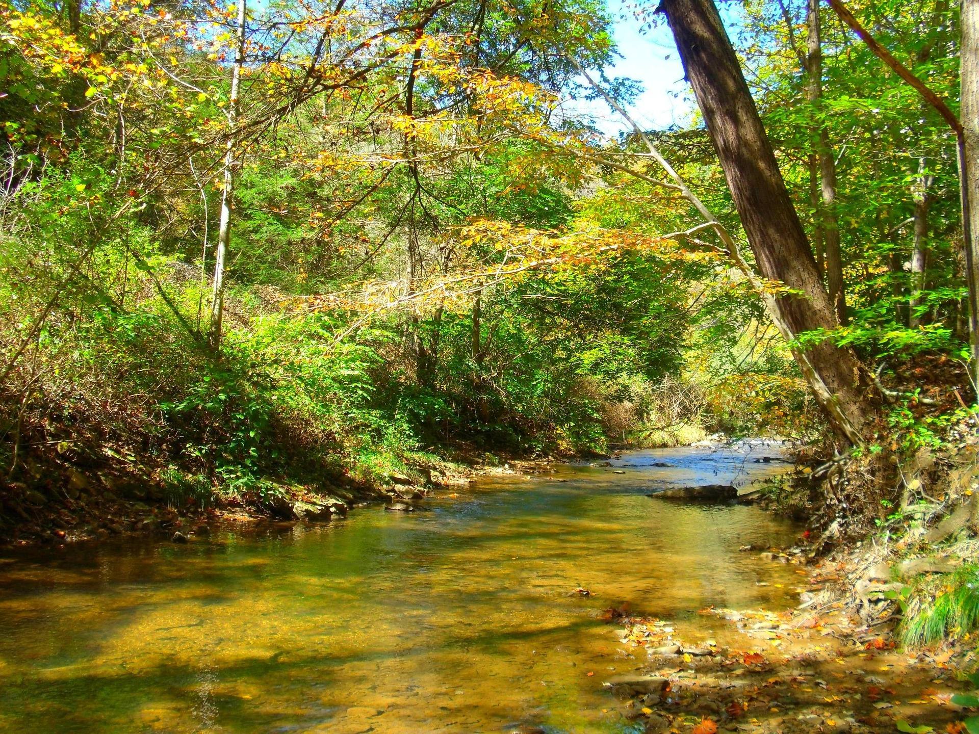
Two candidates, and they are nothing alike
The Greenbrier River Trail runs 78 miles from Cass to Caldwell on a former Chesapeake and Ohio logging grade. Otter Creek Wilderness holds 20,698 acres and 45 miles of trail in a bowl between Shavers Mountain and McGowan Mountain. Both get recommended to beginners.
The gap between them is not distance. It is how much the ground asks of your judgment. On the rail-trail the route is a corridor with the river beside it the whole way and campsites at known intervals. In Otter Creek the trails are unmarked apart from the occasional rock cairn, and repeated unbridged crossings of the creek are the route itself.
Start on the corridor. Save the wilderness for a second or third trip, once you know what your feet, your pack and your sleep system do over a full second day.
Why the Greenbrier River Trail earns the first night
The grade never exceeds about one percent across all 78 miles, which makes it the most approachable long-distance trail in the state. The surface is quarter-inch limestone crusher run, though some coarser sections remain. Walking north to south from Cass is very slightly downhill.
Primitive campsites with privies sit every few miles along the corridor. That spacing is what makes a first trip forgiving: stop two hours early or push one segment further without redrawing the route. Riders cover the full distance in two or three days, and shuttle services operate from Marlinton and Lewisburg if you want to travel one direction only.
Two tunnels punctuate the line, Droop Mountain at mile 30.9 and Sharps at mile 65.2, so carry a light. Clawson, at mile 61.2, is reached by five miles of unpaved mountain road if somebody is meeting you with a vehicle. Note also that the trail's own site counts 37 bridges while the state park page says 35, and both are official.
What Otter Creek asks that a first trip should not
Otter Creek is dense second-growth forest, wetter and more enclosed than Dolly Sods a few ridges east. What you get is moss, rhododendron tunnels and deep woods rather than open views, and it sees less use than the Sods for the same amount of effort.
The crossings are the problem. They are unbridged and there are many of them, so expect wet feet all day. High water can make them impassable, which means every plan here needs a plan B written before you leave the car. Elevation runs from 1,800 feet at the mouth of Otter Creek to 3,900 feet on McGowan Mountain.
Camping follows wilderness rules: distance requirements from trails and water, no facilities, everything packed out. Across 45 miles of trail, finding a spot is not the hard part. Camp well above the creek, because levels move with rain.
Permits, fees and what you have to book
No permit is required to hike on Monongahela National Forest, state park or state forest trails. Day use costs nothing at any of the 35 state parks or 9 state forests, a policy set in state code, and charges apply only to camping, cabins, lodge rooms, pools, golf and rentals.
Dispersed backcountry camping is permitted across most of the Monongahela National Forest without a permit, subject to setbacks from roads, trails and water and to stay limits. It is not permitted in state parks. Developed campgrounds reserve through the West Virginia State Parks system up to about a year ahead, or on Recreation.gov for federal sites.
Whether the Greenbrier corridor's primitive sites can be held in advance is not published here, and neither is trailhead parking capacity. Ask the state park office before building a schedule around either.
Picking the month, and the one that looks better than it is
March and April are the worst window for Otter Creek. Snowmelt and spring rain put every Highlands creek up, trails are muddy, and high-elevation trailheads may still be snowed in. May and June bring peak green and the best birding of the year. July and August are humid and hot below 2,500 feet, with green, buggy, quiet trails.
September and October are the clearest weeks and the busiest, with lodging in Marlinton and Davis booked months ahead. Autumn is peak hunting season as well, so wear blaze orange from October through January on public land outside state parks, and put orange on your dog. November and December strip the leaves and empty the trails.
Count the drive as part of the trip. Roads here follow creeks and ridges, sixty miles can take two hours, and fuel is scarce in Pocahontas, Randolph, Pendleton and Webster counties.
The gear decisions this state forces on you
Highlands weather is not mid-Atlantic weather. Dolly Sods and Canaan Valley regularly run twenty degrees colder than the valleys, with wind and driving rain in June. Cotton, wind and a long exit are how people get into trouble up there, so carry insulation and a shell regardless of the forecast at your trailhead.
Federal wilderness trails are unblazed by design and junctions are frequently unsigned, so Otter Creek needs a map, a compass and the ability to use both. Cell service is absent across most of the Highlands and for long stretches of the rail-trail. Download offline maps before you leave pavement, and treat a satellite messenger as reasonable for a wilderness trip.
Ticks are active any month above freezing and West Virginia has high rates of Lyme disease, so treat clothing with permethrin and check thoroughly afterward. Timber rattlesnake and northern copperhead occur statewide, mostly around rock and rhododendron: watch your hands and step onto logs, not over them.
Assume the rescue will be slow
Backcountry rescue here often means volunteer squads, long carry-outs and no helicopter option under a canopy. Self-sufficiency counts for more than in places with dense trail infrastructure, and a first trip is when that gap shows. Tell somebody your route and your return time.
Two checks are worth making the morning you leave: USGS real-time gauges for West Virginia, which tell you whether the Otter Creek crossings are a problem, and Monongahela National Forest alerts for road closures and forest orders.
Reach people planning this trip
Placement alongside guides for outfitters, guides, shops and lodging.
List your business hereQuestions
What is the best beginner backpacking trip in West Virginia?
Do you need a permit to backpack in West Virginia?
Is Otter Creek Wilderness good for a first backpacking trip?
How many bridges are on the Greenbrier River Trail?
Read next
 Destination · Greenbrier Valley
The Greenbrier River Trail
A guide to the Greenbrier River Trail: trailheads, camping, bikepacking it end to end, tubing alongside it, and the best sections for a day out.
8 min read Guide · Potomac Highlands
Backpacking the Otter Creek Wilderness
20,698 acres, 45 miles of unmarked trail and repeated unbridged crossings: how to plan an Otter Creek trip around the water rather than the mileage.
7 min read · June Itinerary · Potomac Highlands
Three Days in the Potomac Highlands
A three-day Potomac Highlands itinerary: Blackwater Falls, Dolly Sods, Seneca Rocks and Spruce Knob, with realistic driving and the forest roads to respect.
8 min read