
Every organization we link to: local tourism offices, the state and federal agencies that manage the land, the nonprofits and clubs that keep access open, and the universities doing the research.
West Virginia has roughly 1.5 million acres of public land and a handful of places that carry almost all of the attention. The consequence is that a great deal of very good ground sits nearly empty, usually for one of three reasons: nobody has heard of it, the road in is gated or rough, or it is undeveloped and has nothing to advertise. Those are the places below — of them across regions.
Almost Heaven Swings
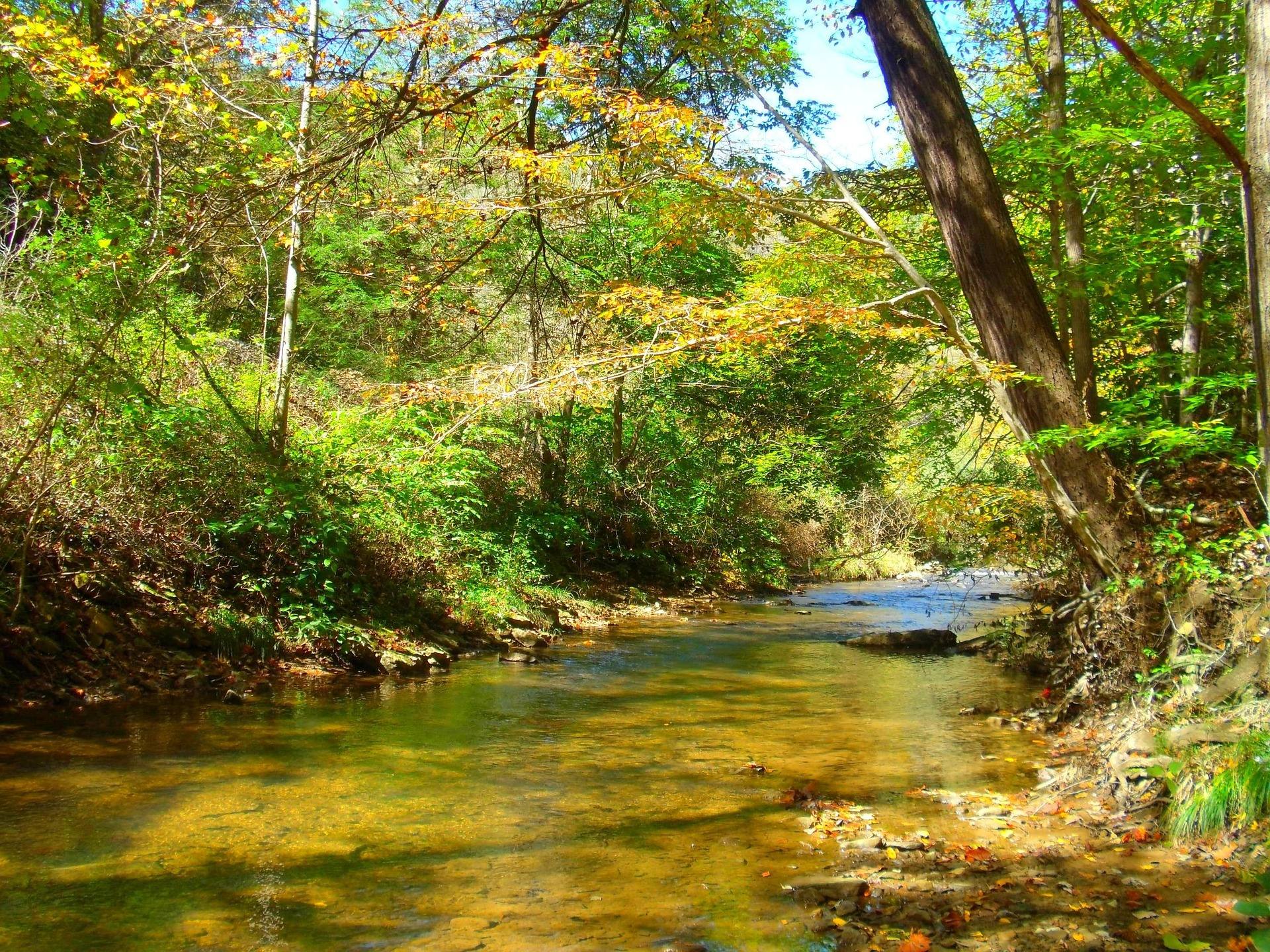
A battlefield that doubles as a rim view
Carnifex Ferry Battlefield State Park covers 156 acres on a bluff above the Gauley River, preserving ground fought over in 1861. Both halves of that sentence are reasons to come: documented history underfoot, and a canyon edge to look over while you take it in.
The Patteson Overlook is the specific asset. The Gauley runs in a gorge that very little approaches from above, and Patteson is a rim view straight into it. Most walkers here treat the overlook as the turnaround point, and that is a defensible plan rather than a shortcut.
Trails that go down before they come back up
The trail system drops from the bluff toward the river. That geometry sets the difficulty and it is the reverse of what a casual day hiker expects: the easy direction comes first and the climb waits for you at the end. Budget water and time accordingly, particularly in summer.
West Virginia State Parks publishes no trail mileage for Carnifex Ferry in this record, and no named routes beyond the overlook. If you need to know how far the lower trails run before you commit to descending them, the park office is the source. The park itself is open year-round, which makes it one of the few things in the region with no season to work around.
Why the rim stays quiet
A few miles from this bluff is some of the most heavily used whitewater in the country. The Gauley runs on scheduled autumn dam releases out of Summersville Lake, and the commercial rafting sections fill up accordingly. Carnifex Ferry does not.
That is the trade on offer. You get the canyon without the queue, from above rather than inside it. During release season it is also a way to spend a day in the same river corridor without booking a seat in a boat, which is worth knowing if half your group rafts and half does not.
Nothing in the record suggests the park manages crowds, sells tickets or runs a shuttle. Quiet here is a byproduct of what the park is: a small historic site on a bluff, a few miles from an attraction that takes all the attention.
Photographing into the canyon
Patteson Overlook gives you something most of West Virginia cannot: an established view down into the Gauley gorge. A canyon of that shape collects fog and holds hardwood color, and both are worth building a morning around.
Light into a gorge is more a question of hour than of season. Early and late are when the walls separate from their own shadow, and the middle of the day flattens everything. The 1861 battlefield ground on top is a second subject on entirely different terms: open ground and history rather than depth and haze.
Birds between the bluff and the slope
Two habitats meet inside a short walk here. Open battlefield ground sits on top, hardwood covers the slope falling toward the river, and you can move between them in minutes. That vertical stacking is why a small park can produce a varied morning list.
May is the peak, here as across West Virginia, with migrants moving through and resident birds on territory. No checklist is published for Carnifex Ferry, so what has been turning up lately is a question for the park office rather than something you can look up in advance.
What the record does not tell you
This is a state park with a battle, an overlook and trails off a bluff. It is not a park this record describes in terms of amenities. There is no published information here on hours, day-use fees, a visitor center, picnic facilities or camping.
Treat all of that as unanswered rather than absent. West Virginia State Parks, through wvstateparks.com or the park office directly, is the agency to ask. Make the call if you are driving any distance, bringing a group, or planning to be on site outside ordinary daylight hours.
The gorge country around it
Immediately south of the Gauley, the New River has cut a gorge roughly 1,000 feet deep through Nuttall sandstone, protected since 2020 as New River Gorge National Park and Preserve with 53 miles of river inside it. The cliff bands there hold more than 1,600 established climbing routes, the largest concentration of sandstone climbing in the eastern United States.
Carnifex Ferry sits in that landscape without being part of the crowd it draws. If you are already planning a New River Gorge weekend, this is the half-day with no line attached, and its subject is a canyon most itineraries in the region never look into at all.
Reach people planning this trip
Placement alongside guides for outfitters, guides, shops and lodging.
List your business hereQuestions
Where is Carnifex Ferry Battlefield State Park?
How long are the trails at Carnifex Ferry?
What can you see from the Patteson Overlook?
Is Carnifex Ferry worth visiting during Gauley season?
Read next
 Guide · New River Gorge
Gauley Season: A Complete Guide
Everything to know about Gauley Season in West Virginia: how the dam releases work, Upper versus Lower Gauley, minimum ages, when to book and what to expect.
8 min read · September Best of
West Virginia Overlooks, Sorted by How Far You Walk
Every notable West Virginia overlook sorted by effort: drive-up terraces, 400-foot walks and full-day climbs, with gate hours and current closures.
9 min read Destination · New River Gorge
Things to Do in Summersville, West Virginia
Boating and swimming on West Virginia's clearest lake, the September drawdown, the Gauley release weekends, Carnifex Ferry and the Meadow River.
8 min read