
Every organization we link to: local tourism offices, the state and federal agencies that manage the land, the nonprofits and clubs that keep access open, and the universities doing the research.
West Virginia has roughly 1.5 million acres of public land and a handful of places that carry almost all of the attention. The consequence is that a great deal of very good ground sits nearly empty, usually for one of three reasons: nobody has heard of it, the road in is gated or rough, or it is undeveloped and has nothing to advertise. Those are the places below — of them across regions.
Almost Heaven Swings
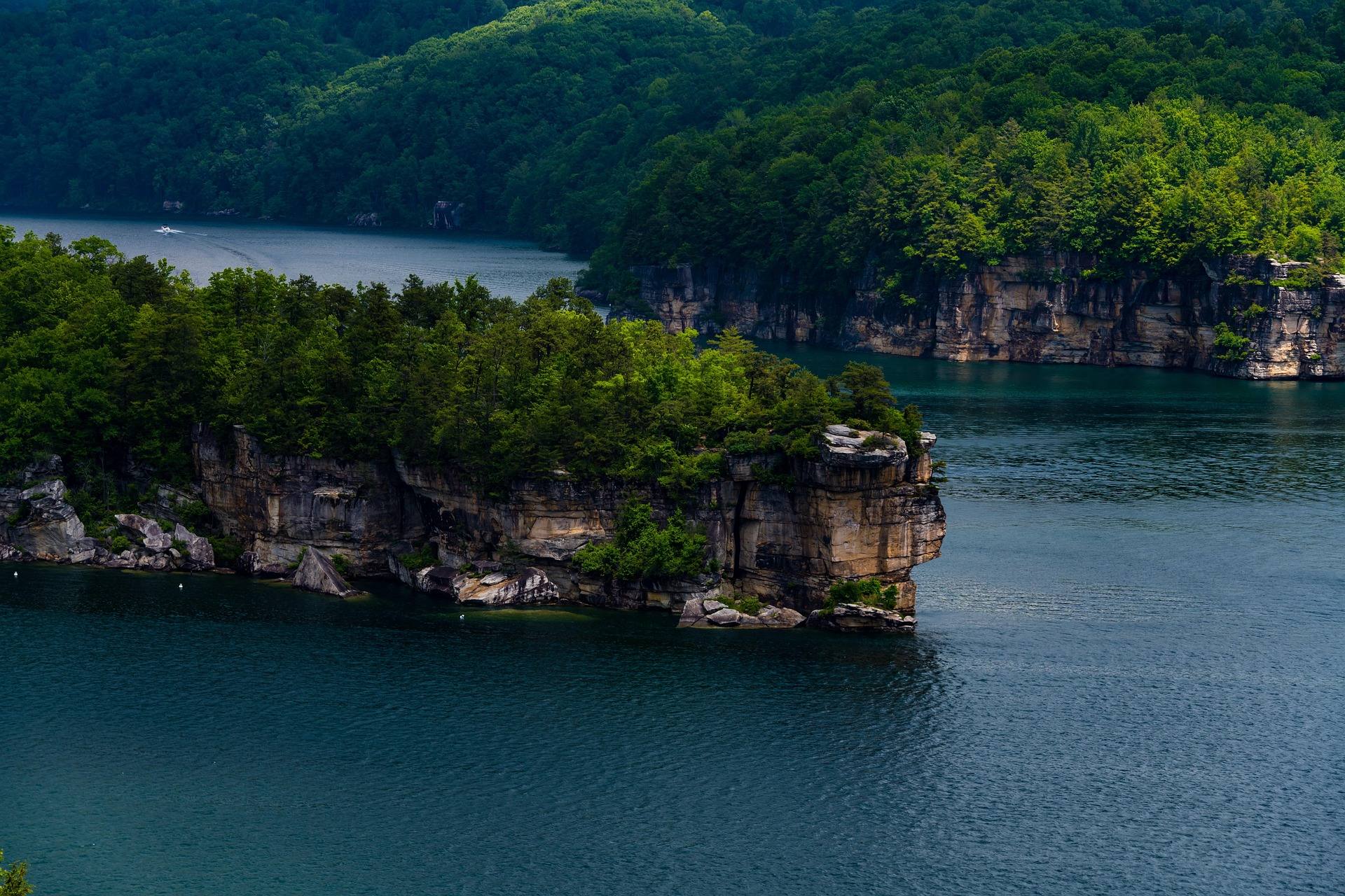
How July sorts the state by elevation
Below about 2,500 feet, July in West Virginia is humid and hot. This site's reading of the calendar is blunt about what follows: July and August are the season to go high, go underground or get wet. Whitewater narrows to the New and the dam-fed sections, smallmouth fishing peaks, and trails are green, buggy and quiet.
Three strategies work, and all three land on places with records here: cold reservoir water at Summersville, cave air near 52 degrees under the Greenbrier Valley karst, and shade in a waterfall gorge or on the high plateau.
Summersville Lake, at its clearest before the algae
Summersville Lake is 2,700 acres, the largest lake in West Virginia and by a wide margin its clearest, with a maximum depth of 327 feet in a sandstone basin. Clarity is best in early summer before algae, which puts the first half of July near the top of the year for scuba diving.
Paddleboarding is the low-commitment way onto it, and the SUP season runs May through September. Morning is calmest on all the reservoirs. Life jacket requirements apply to paddleboards on West Virginia waters, and the lake carries unlimited horsepower alongside no-wake and restricted zones, so read the zoning before pushing a board into open water.
Battle Run is the Corps of Engineers campground on the lake, and Summersville Lake State Park opened on 177 acres of the north shore with three campgrounds: Overlook, Deer Run and Joe Branch. The reservoir is drawn down each autumn for flood storage and the Gauley releases, which changes the shoreline entirely.
Cold creek water at Blue Bend
Blue Bend Recreation Area is a swimming area the Civilian Conservation Corps built in the 1930s on Anthony Creek in the Monongahela National Forest, a deep green pool below a stone-walled beach. The Forest Service notes the water is cold well into summer, which in July is the whole argument for the drive.
The campground is 23 sites in one loop, mostly nonelectric, at $16 a night and $20 with electric. Flush toilets and showers run in summer, vault toilets in spring and fall, and there is no potable water, so carry your own. It is open late March into November.
The Blue Bend Loop is Trail 614: five miles with real climbing, three overlooks and a trail shelter. The area connects toward the Greenbrier River Trail near Anthony.
Underground, where it holds at 52 degrees
Cave temperature at Lost World Caverns holds around 52 degrees Fahrenheit year-round. It is a commercial show cave outside Lewisburg, entered by a long stairway 120 feet below the surface into one enormous chamber holding the 28-foot Snowy Chandelier stalactite. The self-guided walking tour needs no experience, and four-hour wild cave tours require booking and a change of clothes.
Wild caving is a different proposition. Greenbrier, Monroe and Pocahontas counties sit on some of the most significant karst in the eastern United States, but most significant caves are gated, private or access-controlled and there is no general right of entry. A National Speleological Society grotto is the only realistic way in for a beginner, and white-nose syndrome decontamination protocols apply statewide.
Tubing, swimming holes and the levels that govern both
Tubing season is June through August, on the Greenbrier, Cacapon, Shenandoah and Potomac and on the gentler stretches of the Cheat and Tygart. It is low-effort river recreation and the ordinary way many West Virginians use their local river. Late summer means walking sections, so check levels for minimum floatable flow before booking a shuttle. Glass and disposable containers are prohibited or discouraged on most managed sections.
Swimming holes get heavy use through July and August: river pools, plunge pools below waterfalls, clear lake coves. Many sit on private property or are reached across it, so ask. WVU DIY Outdoors maintains one of the few organized published inventories. Never jump into water you have not inspected from the bank, since levels and debris change every season and clear water can turn dangerous fast after rain.
Shade: a waterfall gorge and a wilderness plateau
Falls of Hills Creek stacks three waterfalls into three-quarters of a mile, dropping 25, 45 and 63 feet, the last the second-highest in West Virginia, on a 1.6-mile round trip. The upper section is paved and accessible, the lower two are not, and the route becomes steep stairs and boardwalk into a mossy shale gorge. Flow is best in spring and after rain, so a dry July week shows more rock than water.
For deep shade over distance, Cranberry Wilderness is 47,815 acres of second-growth northern hardwood and red spruce on the high plateau, the largest wilderness in the state, with more than 70 miles of maintained trail. Middle Fork Trail is nine miles and North Fork Trail 7.5.
Trails are unblazed by design and junctions unsigned, so carry map and compass and the skills to use them. Black bear density is among the highest in the state, and bear canisters or proper hangs are advised. Groups are capped at ten, and six trailheads serve it, including Big Beechy and Forks of Cranberry off the Highland Scenic Highway.
July logistics: heat, ticks and the drive
The Greenbrier River Trail asks the least and gives shade and river access for 78 miles from Cass to Caldwell, on a former Chesapeake & Ohio logging grade at a gradient never exceeding about one percent. Primitive campsites with privies sit every few miles, shuttles operate from Marlinton and Lewisburg, and the surface is quarter-inch limestone crusher run. Cell service is absent for long stretches.
Ticks are active in any month above freezing in a state with high rates of Lyme disease, so treat clothing with permethrin and check after every outing. Timber rattlesnake and northern copperhead both occur statewide, and warm ledges and rhododendron thickets are where you meet them.
Check flows on the USGS West Virginia real-time gauges before any float. Sixty road miles here can take two hours, so verify drive times rather than reading them off a map, and plan fuel stops in Pocahontas and Webster counties.
Reach people planning this trip
Placement alongside guides for outfitters, guides, shops and lodging.
List your business hereQuestions
is west virginia too hot for hiking in july?
where is the clearest water in west virginia for swimming and paddling?
how cold are west virginia caves in summer?
do you need a permit to hike or camp in the monongahela national forest?
Read next
Destination · New River Gorge
Summersville Lake
A guide to Summersville Lake: the clearest water in West Virginia, cliff jumping, scuba, deep-water soloing, boating and the Gauley connection.
7 min read · July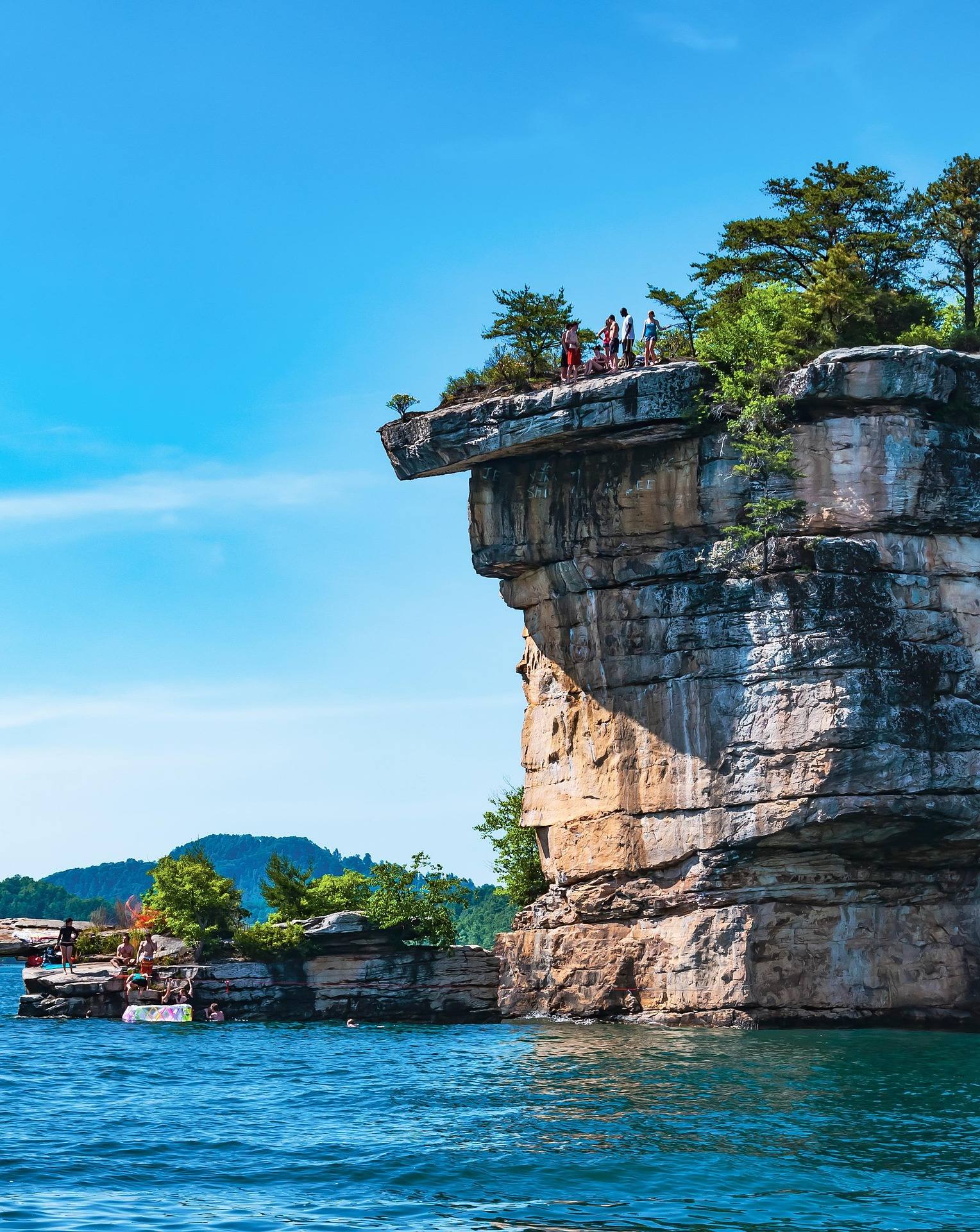 Best of
The Best Swimming Holes in West Virginia
West Virginia swimming holes and lake beaches, from Summersville Lake to CCC-built Blue Bend, with notes on the cliff-jumping risks.
7 min read · July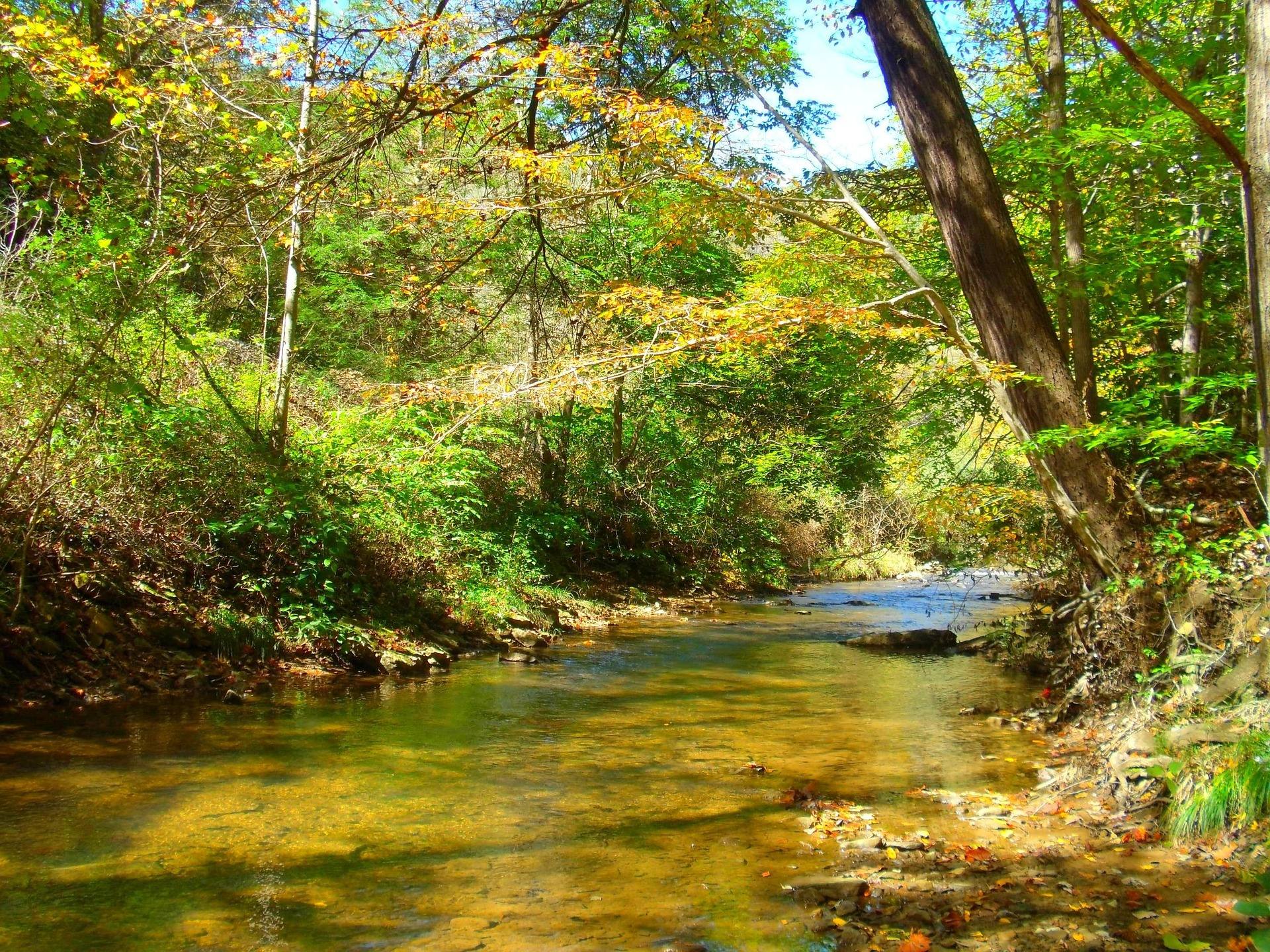 Guide · Greenbrier Valley
Caving in the Greenbrier Valley
Lost World Caverns and Organ Cave sell tickets. Friars Hole does not. What each kind of trip requires, and how cave access permission actually works here.
8 min read