
Every organization we link to: local tourism offices, the state and federal agencies that manage the land, the nonprofits and clubs that keep access open, and the universities doing the research.
West Virginia has roughly 1.5 million acres of public land and a handful of places that carry almost all of the attention. The consequence is that a great deal of very good ground sits nearly empty, usually for one of three reasons: nobody has heard of it, the road in is gated or rough, or it is undeveloped and has nothing to advertise. Those are the places below — of them across regions.
Almost Heaven Swings
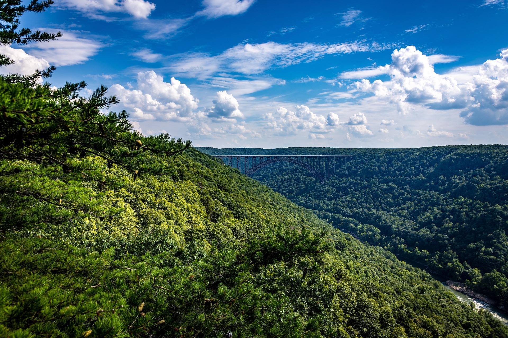
A creek that goes underground and comes back out
The Sinks of Gandy is a stream cave. Gandy Creek runs into the mountain and travels roughly three-quarters of a mile underground before it returns to daylight, and the passage it has cut is walkable for that whole distance. That combination is the reason anyone knows the name.
Most cave trips in the East are out-and-back: you go in a hole and you come back out the same hole. This one has traditionally been crossed end to end on foot, which few eastern caves allow. It reads on a map as a short distance. It is not a short distance in the way a trail is.
The record describes no lighting, no walkway and no guided tour here. What a visitor is given instead is a rule: three light sources per person, minimum. That single line tells you most of what you need to know about how developed this place is.
Permission is the first thing to settle
The cave lies on private land in Randolph County. Access has always depended on the landowner, and the record is plain about it: confirm before going. Nothing about that arrangement is guaranteed to be the same this season as it was when somebody wrote the trip report you read.
There is no agency office to call about entry, because no agency owns it. No fee, no hours and no visiting season appear in the record, and the site is unsigned. The one reference the record points to is caves.org, which is where current access status tends to circulate among people who cave. The landowner is the only authority on whether you may walk in.
If you cannot get a yes, do not go. Access to a place like this rests on the goodwill of one property owner, and a single trespassing party is enough to end it for everyone who comes after.
Rain is what makes it dangerous
Water levels inside change with rain, and the record calls them dangerous. In a stream cave the creek is not beside the route, it is the route, and a confined passage gives rising water nowhere to spread.
That makes the forecast part of your gear check, along with what fell upstream in the days before. No gauge reading and no level threshold for this passage appear in the record, and there is no agency publishing a go or no-go number we can hand you. You are making the call yourself, from the sky and from the creek at the entrance.
The conservative version of that call is the right one. If the water is up, or coming up, the trip belongs to another weekend.
Three light sources per person, and why it is three
The record gives exactly one hard gear requirement: three light sources per person, minimum. Per person, not per group.
The arithmetic is simple. One light is what you use, the second is what you use when the first fails, and the third is what gets you out when the second has gone into the creek. Water underfoot for three-quarters of a mile makes a drowned headlamp an ordinary event rather than bad luck. Spare batteries are part of the same logic.
Beyond lights, the record specifies nothing. No helmet standard, no footwear, no rope. That silence is not permission to travel light; it means this site cannot tell you what the rest of your kit should be. Ask experienced cavers, and go with people who have done the through-trip before.
What the walk itself amounts to
Roughly three-quarters of a mile does not describe the effort. This is a wet scramble in the dark rather than a hike: moving water, uneven rock underfoot, and no signage to keep you honest about where you are.
No route description, no timing and no difficulty rating for the passage appear in the record. The honest planning answer is to budget far more time than the distance suggests, and to agree on a turnaround point before anyone goes underground.
Cold water for that long affects people differently, and the passage does not warm up as you go. Dry clothes waiting at the far end matter more here than they would on a summer trail.
The country it sits in
Randolph County puts this cave in the Potomac Highlands, the region that holds every acre of West Virginia above 4,000 feet, Spruce Knob at 4,863 feet among them. The record gives no elevation for the cave itself, so read the region as context rather than as a measurement of this spot.
The highlands carry relict boreal country left over from the last glaciation: red spruce forest, sphagnum bog and heath barrens more typical of eastern Canada than of the rest of the state. Four federally designated wilderness areas lie in the region, including the 17,000-plus acres of Dolly Sods, along with three downhill ski areas and the White Grass Nordic center.
None of that substitutes for the through-trip, but it is what you drive past, and it makes the cave one stop on a trip rather than the entire reason for one. The distances between these places are not in this record. Work them out from a map before you commit to a day.
Reach people planning this trip
Placement alongside guides for outfitters, guides, shops and lodging.
List your business hereQuestions
Can you walk all the way through the Sinks of Gandy?
Is the Sinks of Gandy open to the public?
How long is the cave at the Sinks of Gandy?
What do you need to bring to the Sinks of Gandy?
Read next
 Guide · Greenbrier Valley
Caving in the Greenbrier Valley
Lost World Caverns and Organ Cave sell tickets. Friars Hole does not. What each kind of trip requires, and how cave access permission actually works here.
8 min read Hidden finds
Hidden Gems in West Virginia
Twenty West Virginia places worth the detour that almost nobody visits: quiet state parks, unpublicised overlooks and the strangest short walk in the state.
9 min read Itinerary · Potomac Highlands
Three Days in the Potomac Highlands
A three-day Potomac Highlands itinerary: Blackwater Falls, Dolly Sods, Seneca Rocks and Spruce Knob, with realistic driving and the forest roads to respect.
8 min read