
Every organization we link to: local tourism offices, the state and federal agencies that manage the land, the nonprofits and clubs that keep access open, and the universities doing the research.
West Virginia has roughly 1.5 million acres of public land and a handful of places that carry almost all of the attention. The consequence is that a great deal of very good ground sits nearly empty, usually for one of three reasons: nobody has heard of it, the road in is gated or rough, or it is undeveloped and has nothing to advertise. Those are the places below — of them across regions.
Almost Heaven Swings
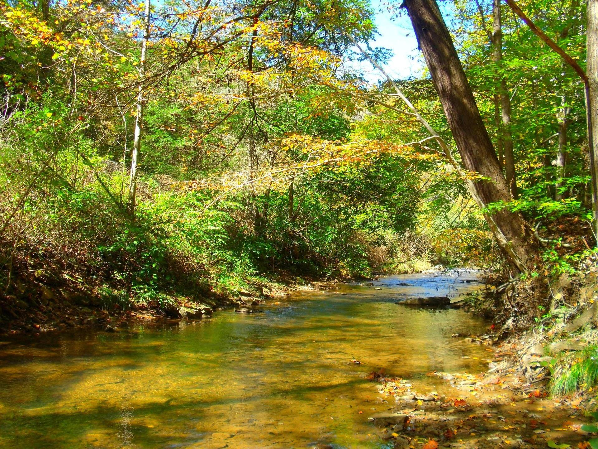
A warm river, not a trout river
New River fishing in West Virginia is smallmouth fishing first. This is warm water — the state's cold mountain streams hold the trout, and the big warm rivers hold the smallmouth, with walleye and catfish in the mix. The National Park Service protects roughly 53 miles of the New inside New River Gorge National Park and Preserve, where the river has cut about 1,000 feet through Nuttall sandstone, and it lists fishing among the things the park is for. There is no entrance fee to the park, and the campgrounds along the river charge no camping fee either.
Licensing, regulations and season rules are the WVDNR's, not the Park Service's, and the two agencies overlap on the same water: you need a state license to fish federal river here. The separate trout stamp applies to stocked trout waters and is not what this river is about. Check the current regulations rather than a memory of them, because a warm-water river running through five counties picks up more rules than a single lake does. The park's own contribution is access — it names its public river access points instead of rating them, and leaves you to judge which one suits your boat.
The reaches, from Bluestone Dam down
The Park Service publishes the river in named reaches, and they escalate. Bluestone Dam to Sandstone is Class I–II. Sandstone to McCreery is Class I–III, and so is McCreery to Thurmond. Thurmond to Cunard is Class III. Cunard to Fayette Station is Class III–IV. In plain terms, the river from Hinton down to Thurmond is Class I–III, and below Thurmond it narrows into technical Class III–IV — that break at Thurmond is the single most useful thing to know before you decide how you are going to fish. Pick the reach first and the tackle second.
Above the break, the New is wide, warm and slow enough to work carefully from a canoe or a raft, and it is the water people float in June, July and August. Below it, you are on the Lower New: big-volume Class III–IV at summer levels through the deepest part of the gorge, past Surprise, Upper and Lower Railroad, Double Z, Greyhound and Fayette Station under the bridge. Fish are in there, but that reach is a whitewater run first and a fishing trip second, and it is serious at spring flows.

New River fishing access inside the park
Almost all access inside the gorge is federal. The upstream cluster is off River Road out of Hinton: Tug Creek Beach, Brooks Falls, which has a trail, picnic area and small boardwalk view, and Hellems Beach — none carry a park entrance fee, and the Park Service does not publish facilities for two of the three. Farther down, the Sandstone Falls day-use area sits eight miles downstream of Hinton by River Road, reached via WV 20 from I-64 exit 139, with parking and a boardwalk crossing two islands below the falls. River Road itself is scenic but narrow and slow — allow thirty minutes.
Below that, most of the access is off WV 41 near Prince: McCreery, Mill Creek, Grandview Sandbar and Glade Creek, plus Meadow Creek with parking along Claypol Road. Several of these are river access with a campground attached, and the campgrounds are primitive in the full sense — no drinking water, no hookups, no electricity and limited restrooms — but they cost nothing. Army Camp is the one the park describes as easy access to the river for fishing and boating. Mill Creek is worth a warning: parking along State Route 5 is sparse.
Deeper in the gorge the access points are Brooklyn, Thayer, Stone Cliff and Dunglen around Thurmond, then Cunard, reached by Cunard Road from Fayetteville, and Fayette Station at the bottom of Fayette Station Road. Cunard is the commercial rafting put-in, so expect company there on summer mornings. Upstream of Bluestone Dam the river is impounded as Bluestone Lake, 2,040 acres, with public launches at Bluestone State Park — the flatwater option when the river below is running high and brown. Mapping apps do not handle the gorge roads well, and several of these access points are at the end of a long descent on a surface that a phone route will not warn you about, so carry the official park map and give yourself more driving time than the mileage suggests.
Wading, and what the agencies warn about
The New does not look as strong as it is. WVDNR warns specifically about the reach near Hinton and Sandstone: the current is stronger than it appears, and Sandstone Falls is downstream. The falls are not tall — a drop of ten to twenty-five feet — but they run about 1,500 feet wide across the whole breadth of the river, and the water around them has been the site of several drownings. Float that reach in a boat rather than a tube, and treat any wading above the falls as a decision rather than a default.
Below the falls, the summer smallmouth fishing is excellent, which is why the water there gets fished hard by people who know it. A wide, shallow-looking river with a rock shelf across it produces exactly the kind of footing that puts anglers in trouble. On the plus side, summer water temperatures on the New are warm enough that the consequences of a swim are far lower here than on the cold autumn releases north of the gorge — but warm water still moves at the same speed. Wear a life jacket in a boat, and know where the next slack water is before you step off the bank.
Boats, kayaks, and the shuttle problem
Getting a boat down the New is a shuttle exercise, and one road decides much of it. Fayette Station Road is one-way for eight miles, and vehicles over twelve feet cannot complete it — so the take-out at the bottom constrains which vehicle you can use for the whole day. Work the shuttle out before you load, not at the put-in. Registration, education requirements and the public ramps themselves fall under the WVDNR boating program, and horsepower limits vary from one body of water to the next, so check before you trailer anything.
Most New River fishing in West Virginia happens well away from the whitewater, and the Upper New above Thurmond is Class I–III and is the family water on this river — the reach where a canoe or a kayak is a fishing platform rather than a survival exercise. Kayak fishing works on the flatwater at Bluestone State Park as well. The Class III and III–IV reaches below Thurmond are for people whose paddling is well ahead of their fishing, and the rafts running the commercial line from Cunard will be sharing the same water with you all summer.
The bottom end: the Dries and Kanawha Falls
The New has one stretch that behaves like nothing else on it. From Hawks Nest Dam down to Gauley Bridge, the Park Service records the reach as the New River Dries — water diverted for power leaves the riverbed in a state the class ratings do not describe, and it is a different proposition from any reach upstream. The Park Service does not give it a class rating at all, which tells you most of what you need: how much water is in it depends on what the dam upstream is doing rather than on the season. Treat it as its own thing, get current information before you plan a day around it, and do not read the reaches above it as any guide to what you will find.
At Glen Ferris the New meets the Gauley and becomes the Kanawha, and the wide ledge falls there is one of the best hybrid striped bass spots in the state, with walleye and catfish as well. Access is roadside, which makes it the easiest good fishing on this list to reach — no shuttle, no descent, no permit gymnastics. The current below the falls is strong enough that this is bank fishing only in most conditions, and that is not a suggestion about comfort. Kayak fishing here is for settled water and people who know the place.
Reach people planning this trip
Placement alongside guides for outfitters, guides, shops and lodging.
List your business hereQuestions
What fish are in the New River in West Virginia?
Where is the best access for fishing the New River?
Do I need a trout stamp to fish the New River?
Which reaches of the New River are safe to fish from a boat?
Is it safe to wade the New River?
Where can you fish the New River without a boat?
Read next
 Destination · New River Gorge
Things to Do in New River Gorge National Park
A complete guide to New River Gorge National Park: the best hikes, whitewater, climbing and overlooks, plus where to base yourself and when to come.
12 min read Best of · New River Gorge
The Best Hikes in New River Gorge National Park
Fifteen New River Gorge hikes ranked by what you get for the effort, with NPS distances, parking notes, and the one classic trail that is closed until 2027.
10 min read Guide · New River Gorge
Gauley Season: A Complete Guide
Everything to know about Gauley Season in West Virginia: how the dam releases work, Upper versus Lower Gauley, minimum ages, when to book and what to expect.
8 min read · September