
Every organization we link to: local tourism offices, the state and federal agencies that manage the land, the nonprofits and clubs that keep access open, and the universities doing the research.
West Virginia has roughly 1.5 million acres of public land and a handful of places that carry almost all of the attention. The consequence is that a great deal of very good ground sits nearly empty, usually for one of three reasons: nobody has heard of it, the road in is gated or rough, or it is undeveloped and has nothing to advertise. Those are the places below — of them across regions.
Almost Heaven Swings

A two-mile trail that does not behave like one
The Kaymoor Miners Trail is a round trip of two miles from the rim of the New River Gorge down to the Kaymoor One coal mine and processing plant, and back. The distance is short. The descent is very steep, and 821 wooden steps of it run down the line of the mine's former haulage incline.
Treat the mileage as the least useful number on the page. What governs this trail is vertical movement on stairs, first down and then up, and the fact that you have to earn the return before you can leave.
The record does not publish an elevation drop in feet or an official difficulty rating for the route. If you want those figures before you take a group down, ask New River Gorge National Park and Preserve.
Down the haulage incline on 821 steps
A haulage incline is how a coal operation moved material up and down a gorge wall, and the staircase follows that alignment. Eight hundred twenty-one steps is a specific, counted number, which is unusual on a trail and tells you what the route is made of.
Wooden steps set on a steep slope reward attention. The pitch does not let up in a way that gives your legs a rest, so a steady pace on the way down leaves more in reserve for what follows.
Nothing in the record describes handrails, landings or the current condition of the stairs, and stair structures on a gorge wall are the kind of thing that closes for repair. Check with the National Park Service at nps.gov/neri before driving out for it.
Kaymoor One, 1900 to 1962
At the bottom are the ruins of Kaymoor One, a mine and processing plant that operated from 1900 to 1962. Sixty-two years of industrial work left a footprint, and what still stands is among the more complete industrial remains anywhere in the gorge.
That completeness is the argument for making the trip. Most abandoned coal operations in the region have been reduced to foundations and scattered metal; here there is enough structure left to read the layout of a working plant.
The ruins are unstable. Stay on the trail and photograph them from it rather than stepping into or climbing on anything. The record gives no interpretive-sign inventory and no guided-walk schedule, so if you want commentary on what you are looking at, ask the park what it offers.
The climb out is the trail
Budget roughly twice as long for the climb as for the descent. That ratio is the single most useful planning fact about the Kaymoor Miners Trail, and it converts the bottom of the trail into the halfway point in time rather than in distance.
Plan water and daylight against the climb, not the two-mile total. A party that arrives at the ruins with an hour of light left has less margin than the mileage suggests.
Runners sometimes use it as a stair workout instead of a run, since 821 steps down and the same 821 back up is what the outing consists of. The same time ratio applies: the second half costs more than the first.
The bench trail toward Fayette Station
Once you are down, the Kaymoor Trail runs along the bench and connects to Fayette Station, which turns the day into a longer loop rather than a straight up-and-back on stairs.
Bench trails follow an old grade across the slope, so this is the runnable, walkable ground of the area and a way to add distance without adding another staircase. It is also the option worth knowing about if the stairs are more than someone in your group wants.
The record does not give a mileage for the bench connection or for the full loop, and it does not describe the parking or road access at the Fayette Station end. Both are questions for the park.
What to settle before you drive out
Fees, gate hours, restrooms and water do not appear in this trail's record. The trail lies inside New River Gorge National Park and Preserve, so the National Park Service is the authority, and nps.gov/neri is where its published information sits.
Footwear matters more than gear lists here. Wooden stairs on a steep grade, taken in both directions, put the load on ankles and knees, and there is no shortcut back to the rim once you are at the bottom.
If you are staying in the area, the gorge holds a great deal more than this one descent: a thousand-foot canyon cut through Nuttall sandstone, more than 1,600 established climbing routes on its cliff bands, and 53 miles of protected river.
Reach people planning this trip
Placement alongside guides for outfitters, guides, shops and lodging.
List your business hereQuestions
how many steps are on the kaymoor miners trail?
how long does the kaymoor miners trail take?
what is at the bottom of the kaymoor miners trail?
can you hike kaymoor without the steps?
Read next
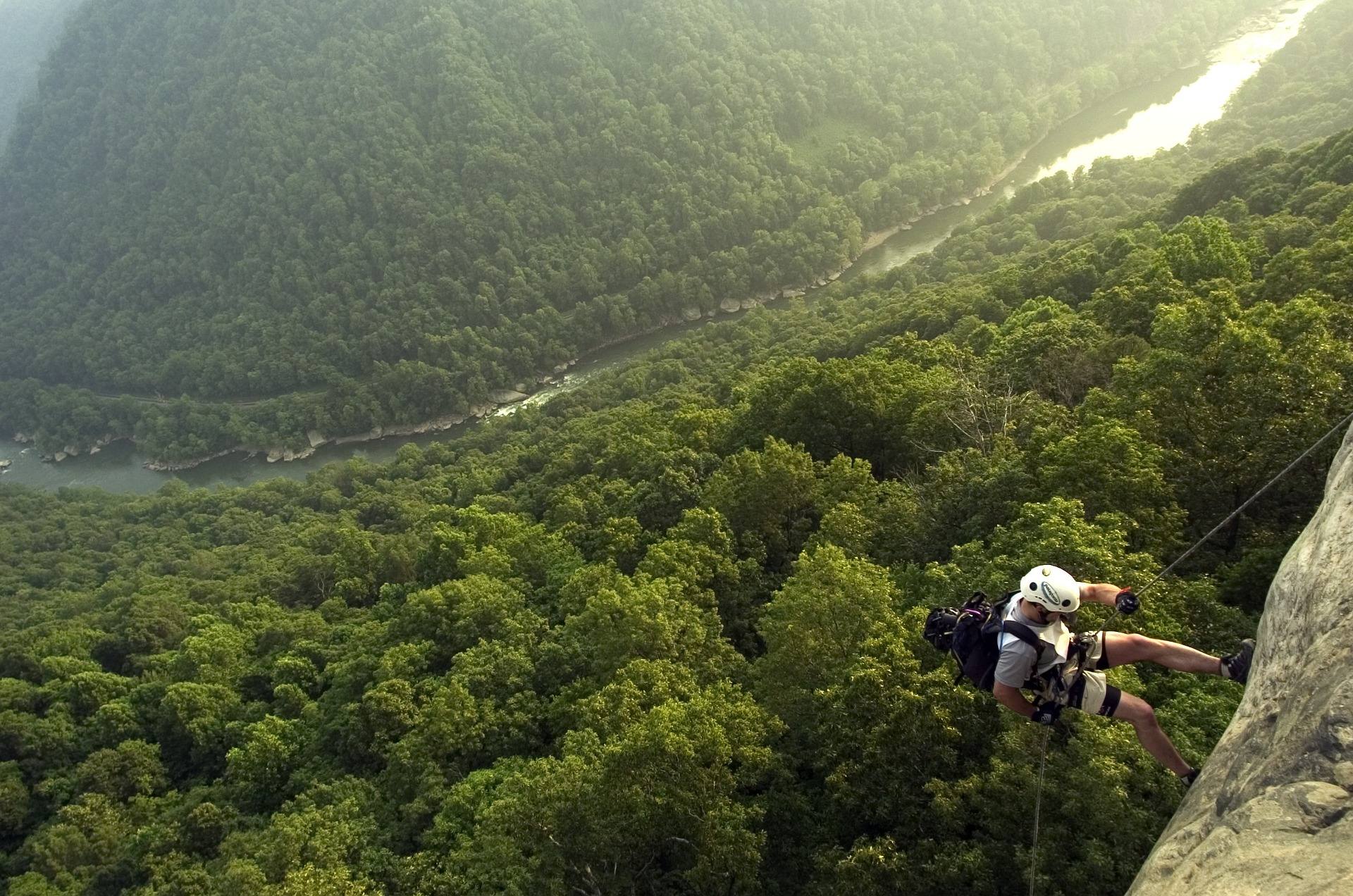 Best of · New River Gorge
The Best Hikes in New River Gorge National Park
Fifteen New River Gorge hikes ranked by what you get for the effort, with NPS distances, parking notes, and the one classic trail that is closed until 2027.
10 min read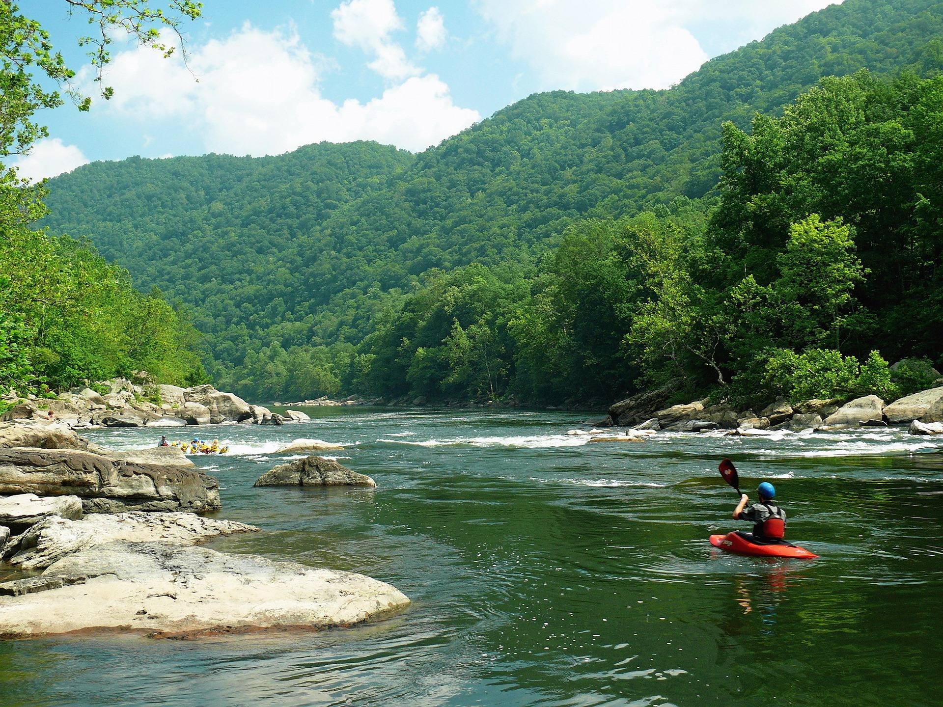 Destination · New River Gorge
Things to Do in Fayetteville, West Virginia
A local guide to Fayetteville, West Virginia: the best hikes and overlooks nearby, rafting and climbing outfitters, and why it is the best gorge base.
8 min read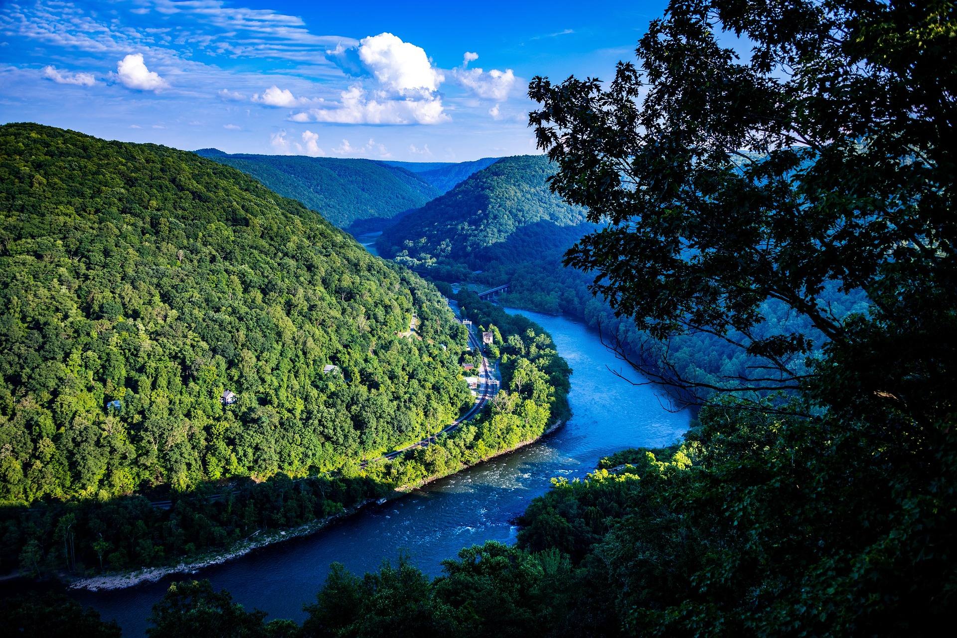 Itinerary · New River Gorge
A Perfect Weekend in the New River Gorge
A two-day New River Gorge itinerary that works: which hikes, which rafting section, where to eat and where to be at sunset, with drive times.
7 min read