
Every organization we link to: local tourism offices, the state and federal agencies that manage the land, the nonprofits and clubs that keep access open, and the universities doing the research.
West Virginia has roughly 1.5 million acres of public land and a handful of places that carry almost all of the attention. The consequence is that a great deal of very good ground sits nearly empty, usually for one of three reasons: nobody has heard of it, the road in is gated or rough, or it is undeveloped and has nothing to advertise. Those are the places below — of them across regions.
Almost Heaven Swings
9,474 acres at the top of Rich Mountain
Kumbrabow is the highest state forest in West Virginia: 9,474 acres of red spruce and northern hardwood along Rich Mountain. Elevation is the operating fact of any trip here, and the clearest expression of it is that the forest stays cool in August when most of the state does not.
That cuts both ways. An August night can want a warmer bag than the valley forecast suggests, and a spring or fall trip can meet weather the lowlands have already finished with. The record gives no elevation figure and no temperature data for the forest, only that it is the highest of the state forests and cool in summer.
The wider Potomac Highlands holds all of West Virginia's ground above 4,000 feet, Spruce Knob at 4,863 feet included, along with relict boreal communities that have persisted since the last glaciation: red spruce, sphagnum bog, heath barrens. Spruce on Rich Mountain belongs to that same story.
Rustic cabins, and what rustic means in the cold season
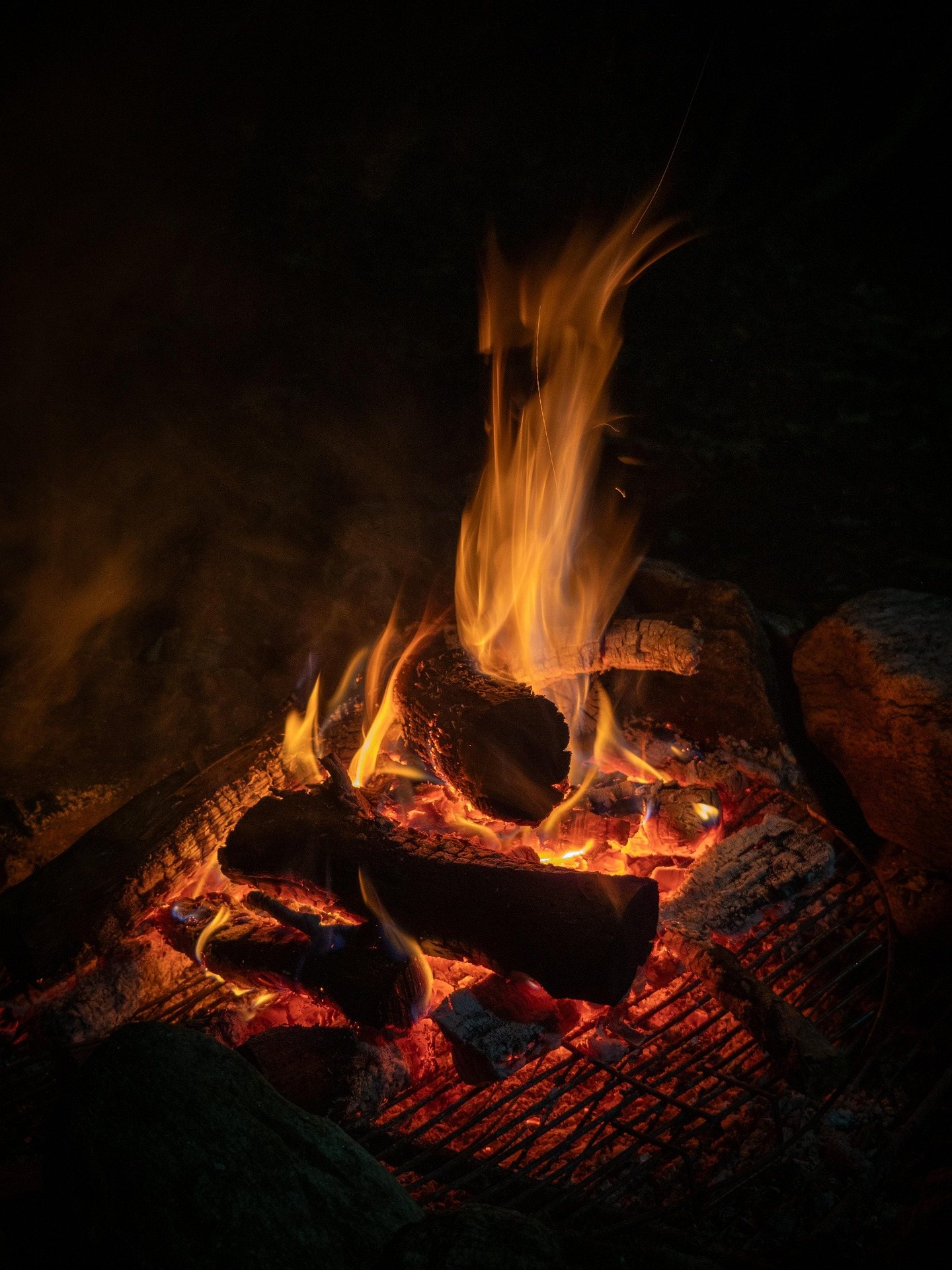
Cabins are what the forest is known for, and the record is direct about their standard: rustic, with wood heat as the way you stay warm in the cold season. Plan on managing a fire rather than a thermostat, and on the chores that go with one.
How many cabins there are, what they cost, how they are equipped and when the booking season opens and closes are not in this record. Those are questions for the forest office or WV State Parks at wvstateparks.com, and worth asking well before you drive, because nothing here tells you what is bookable in your season.
Where a tent may go is a question, not a given
Nothing in the record says where a tent is allowed. The forest's published lodging is the cabins, and whether dispersed or primitive camping is permitted elsewhere across the 9,474 acres is not something the record settles. Guessing at it is how people end up moving a tent at dusk.
Call the forest office and ask directly: is tent camping allowed, where, and does it need registering. Ask in the same conversation what is open in your season, because staffing and visitation here are both light and the answer may not be the same one you would get at a resort park.
What is not in question is the ground itself. High, cold, spruce-covered country reached by rough gravel road, cool through August, with almost nobody around. That is the reason to sort the permission out rather than settle for somewhere easier to book.
The gravel is the access road, not a shortcut
Access roads are gravel and can be rough. Take that literally when you decide what to drive and what to tow, since a low car and a heavy trailer make a poor pairing on that kind of surface and clearance matters more than power.
Allow more time than the mapping app gives you. Gravel grades through hardwood and spruce are not driven at the speed a highway estimate assumes, and the last stretch is usually the slowest. The record names no road numbers and no mileage, so get current directions and road conditions from the forest office before you go.
Mill Creek and native brook trout
Mill Creek holds native brook trout. Native brookies in small mountain water set the terms of the fishing: light tackle, small flies, and an approach that keeps you out of the fish's line of sight before you are in casting range.
The stream benefits from where it sits. High ground in red spruce and northern hardwood keeps the water cold through the stretches of summer that drive valley trout into cover. No stocking, size limits or stream mileage appear in this record, so confirm current regulations and any rules specific to this water with WVDNR before you fish it.
Trails without a mileage figure, horses without a bridle map
No trail mileage is published for Kumbrabow. That is the plain state of the record, and it is the biggest gap for anyone planning a day on foot. Ask at the forest office which routes are signed and currently open, then walk those rather than a line you found on an old map.
Horseback riding is listed among the forest's activities, but no bridle mileage appears either. On steep Rich Mountain ground reached over rough gravel, hauling the trailer in is as much of the problem as the riding once you arrive, so ask the office where a rig can turn and park as well as which trails take stock in your season.
The compensation for the missing numbers is that almost nobody else is out there. Solitude is this forest's actual product, and it is worth a little planning friction.
Hunting nearly 9,500 acres nobody is crowding
Close to 9,500 acres of spruce and northern hardwood on the state's highest state forest, with very few people in it, is an unusual amount of room. Rough gravel is the practical limit on where a vehicle gets to, and that in turn decides how far in you can realistically pack an animal back out.
Seasons, legal game and any forest-specific rules are WVDNR's to publish, not this record's. Confirm them there before you plan around a date, and check with the forest office which roads and gates will be open when you intend to be there.
Reach people planning this trip
Placement alongside guides for outfitters, guides, shops and lodging.
List your business hereQuestions
Can you camp in a tent at Kumbrabow State Forest?
How many cabins does Kumbrabow State Forest have?
Is Kumbrabow State Forest cool in the summer?
What are the roads into Kumbrabow State Forest like?
Read next
 Best of
The Best Trout Streams in West Virginia
West Virginia's best trout water: the Elk River tailwater, wild brook trout headwaters, catch-and-release stretches and the spring stocking calendar.
8 min read · April Destination · Potomac Highlands
Things to Do Outdoors in Elkins, West Virginia
Stuart Recreation Area, Otter Creek, Kumbrabow, Laurel Fork and a two-mile tube float on the Cheat headwaters — what the country around Elkins offers.
7 min read Hidden finds
Hidden Gems in West Virginia
Twenty West Virginia places worth the detour that almost nobody visits: quiet state parks, unpublicised overlooks and the strangest short walk in the state.
9 min read