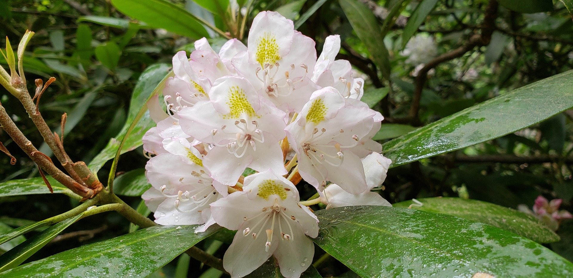
Cranberry Glades Botanical Area
Cranberry Glades. Sphagnum bog with cranberry, sundew and pitcher plants, isolated here since the last glaciation, accessible on a half-mile boardwalk.
Full guide to Cranberry Glades Botanical Area →Cranberry Glades preserves sphagnum bog communities isolated since the last glaciation, including carnivorous sundew and pitcher plants. Shale barrens in the eastern counties and heath balds at high elevation support additional endemic and disjunct species. The West Virginia Native Plant Society and the Master Naturalist program provide structured ways to study them.
Cranberry Glades preserves bog communities that have persisted since the last glaciation, more typical of boreal Canada than the mid-Atlantic. A half-mile boardwalk crosses two of the glades.
Relict boreal bogs, virgin hemlock, shale barrens and karst springs — a surprising amount of unusual ecology in a small state.
Cranberry Glades. Sphagnum bog with cranberry, sundew and pitcher plants, isolated here since the last glaciation, accessible on a half-mile boardwalk.
Full guide to Cranberry Glades Botanical Area →Cathedral State Park. The last substantial stand of virgin eastern hemlock in West Virginia, with trees over ninety feet tall and centuries old.
Full guide to Cathedral State Park →Beartown. A maze of split sandstone blocks with its own microclimate — moss, dripping walls and ice surviving into early summer.
Full guide to Beartown State Park →Hemlock woolly adelgid is actively killing the trees at Cathedral. Do not move firewood into or out of that area, and take the boot-brush stations seriously.
The Greenbrier Valley sits on Greenbrier limestone, producing karst topography: sinkholes, springs, sinking streams and extensive cave systems, several with more than forty miles of surveyed passage.
Highest terrain, ski areas, wilderness backpackingAll terrain in West Virginia above 4,000 feet lies in this region, including Spruce Knob at 4,863 feet.
1,400 feet above a horseshoe bend in the New, with a seven-mile view up the gorge — the widest perspective anywhere in the park.
An abandoned coal town at the bottom of the gorge with the most complete surviving coal conveyor and tipple complex in the country — a 1,385-foot inclined conveyor running straight up the hillside, once operated by Henry Ford.
Ten miles of protected river in a deep, wooded gorge between Bluestone Lake and Pipestem — the least-visited National Park Service unit in West Virginia and the quietest.
West Virginia's largest state park at over 10,100 acres, built largely by the Civilian Conservation Corps in the 1930s.
A half-mile boardwalk through a formation of large Droop Sandstone blocks separated by deep crevasses, some of which hold ice into early summer.
The largest area of bogs in West Virginia — sphagnum and cranberry peat bogs holding plant communities left behind after the last glaciation, more typical of Canada than the mid-Atlantic, including carnivorous sundews and pitcher plants.
Three waterfalls in three-quarters of a mile, dropping 25, 45 and 63 feet — the last is the second-highest waterfall in West Virginia.
47,815 acres of second-growth northern hardwood and red spruce on the high plateau — the largest wilderness in West Virginia.
The world's largest fully steerable radio telescope, at the center of the National Radio Quiet Zone — a 13,000-square-mile area where radio transmissions are restricted by law.
A 17,371-acre federally designated wilderness on a plateau largely above 4,000 feet, containing wind-flagged red spruce, heath barrens, sphagnum bog and exposed rock.
The northern edge of the Dolly Sods plateau, owned by The Nature Conservancy: bare Pottsville sandstone slabs, one-sided spruce sculpted by prevailing wind, and blueberry heath dropping east into the Allegheny Front with a 3,000-foot view over the Potomac Highlands.
At 4,863 feet, the highest point in West Virginia and the high point of the entire Allegheny range.
The highest large valley east of the Mississippi, at about 3,200 feet — a 14-mile-long bowl of wetland, bog, beaver meadow and northern hardwood that behaves climatically like central Canada.
133 acres of virgin eastern hemlock, the last substantial stand of old-growth mixed forest remaining in West Virginia.
Twenty-two islands and several mainland tracts scattered along nearly 400 river miles of the Ohio, protecting some of the last relatively undisturbed island habitat on the river — critical for freshwater mussels, migratory birds and river-bottom forest.
9,300 acres of steep, wooded hollow just fifteen minutes from downtown Charleston, with more than 25 miles of trails, a well-known mountain bike network, a swimming pool, campground and some of the best spring warbler birding in the state.
Just outside White Sulphur Springs, adjoining the Monongahela National Forest, with cabins, a campground, a swimming pool and trails climbing Kate's Mountain.
Reserved for a West Virginia operator serving this activity. Everything above and below it is unpaid editorial.
List your business hereThe groups doing the actual work — access, maintenance, licensing and data. Starred entries are worth following continuously.