
Every organization we link to: local tourism offices, the state and federal agencies that manage the land, the nonprofits and clubs that keep access open, and the universities doing the research.
Hawks Nest State Park
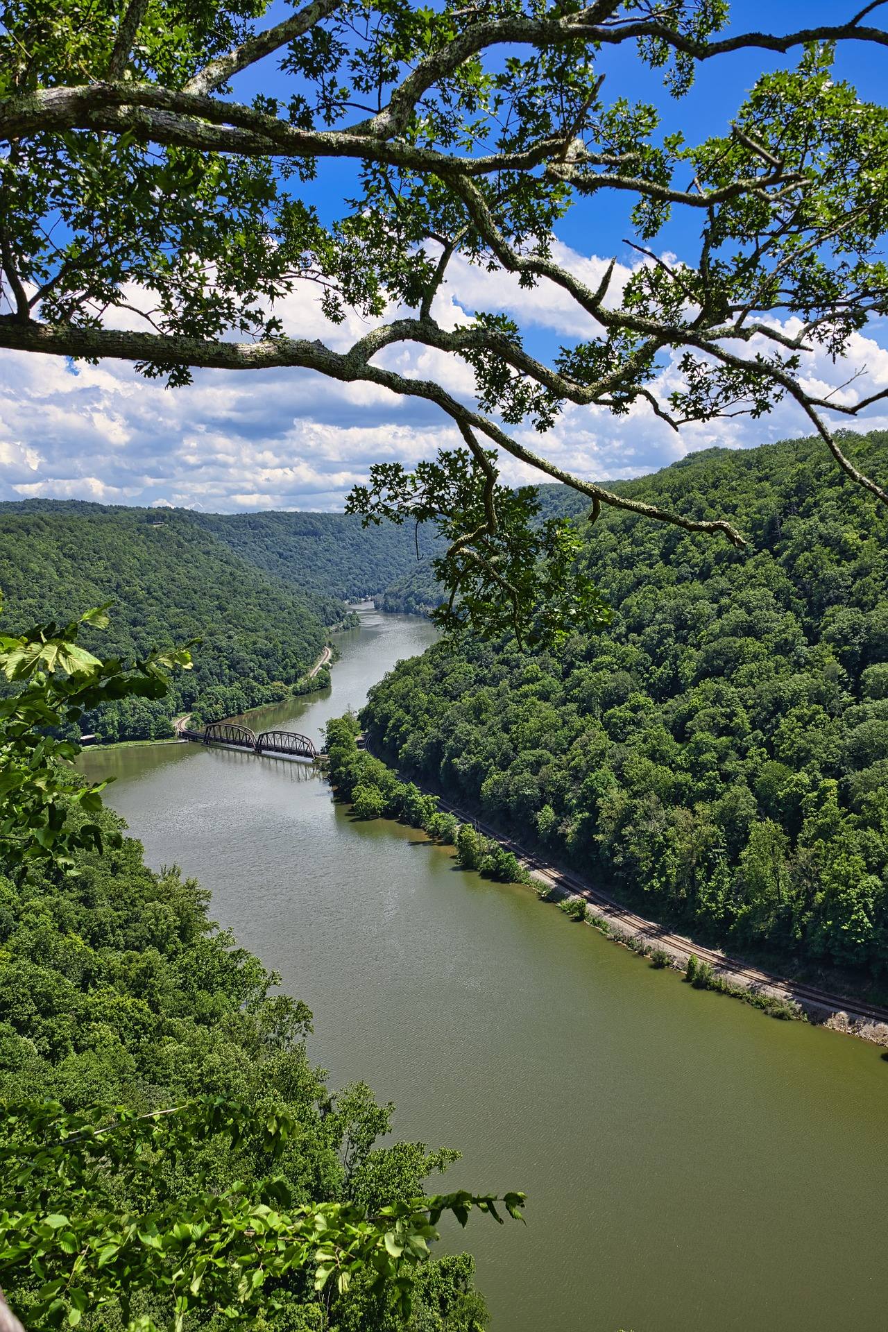
A rim-top lodge above the Mill Creek arm of the New River Gorge with an aerial tram to a marina on the water. The overlook here is the classic westbound-traveler's first view of the gorge, and the site carries the difficult history of the 1930s Hawks Nest Tunnel disaster.
Know before you go
- Jet boat rides run from the marina up toward the bridge
- The overlook is right off US 60 with no hiking required
What you can do here
The overlook sits directly off US 60 with no hiking required, and it delivers the classic westbound first view into the New River Gorge. Fog filling the gorge is a standing subject for anyone willing to be there early. The tram down to the marina gives a second, lower vantage on the Mill Creek arm when rim light is flat.
Overlooks here
Local organizations
Outdoor Photography across West Virginia →A 276-acre park whose best-known viewpoint asks nothing of you: the overlook is a few steps from US 60. Whatever walking exists beyond that, the record does not measure. Ask at the lodge which routes connect the rim to the tram or the water, and how steep they run, before you count on a hiking day here.
Overlooks here
Local organizations
The tram drops from the rim lodge to a marina on the water, which is the pooled Mill Creek arm of the gorge rather than free-flowing river. Jet boat rides run from that same marina up toward the bridge, so expect motor traffic on the water. Ask the marina about launching a private boat and where it is allowed.
Overlooks here
Local organizations
Getting to the water is the hard part in this gorge, and here a tram solves it, running from the rim lodge down to a marina. What swims in this stretch is not published on this page, so check WVDNR regulations for the New River before you go. Jet boats work the same water up toward the bridge.
Overlooks here
Local organizations
Guides, gear and lodging near Hawks Nest State Park
Place-level placement for operators within range of this trailhead, put-in or crag.
List your business hereNearby in the New River Gorge
New River Gorge Bridge
A 3,030-foot steel arch carrying US 19 some 876 feet above the New River — for decades the longest single-span arch bridge in the world, and still the image most people carry of West Virginia.
Endless Wall Trail
A 2.4-mile point-to-point trail along the gorge rim through hemlock and rhododendron, crossing Fern Creek on a footbridge and reaching Diamond Point, an exposed rock outcrop with a view up the gorge to the bridge.
Long Point Trail
About 3.2 miles round trip on mostly level old roadbed to a rock promontory below the rim, which provides the most-photographed view of the New River Gorge Bridge.
Grandview
1,400 feet above a horseshoe bend in the New, with a seven-mile view up the gorge — the widest perspective anywhere in the park.
Sandstone Falls
The largest waterfall on the New River — not tall, but 1,500 feet wide, spilling across the full breadth of the river between islands at the point where the gorge begins to open.
Kaymoor Miners Trail
A steep descent from the gorge rim to the ruins of the Kaymoor One coal mine and processing plant, including 821 wooden steps down the former haulage incline.
West Virginia has roughly 1.5 million acres of public land and a handful of places that carry almost all of the attention. The consequence is that a great deal of very good ground sits nearly empty, usually for one of three reasons: nobody has heard of it, the road in is gated or rough, or it is undeveloped and has nothing to advertise. Those are the places below — of them across regions.