
Every organization we link to: local tourism offices, the state and federal agencies that manage the land, the nonprofits and clubs that keep access open, and the universities doing the research.
Lower New River
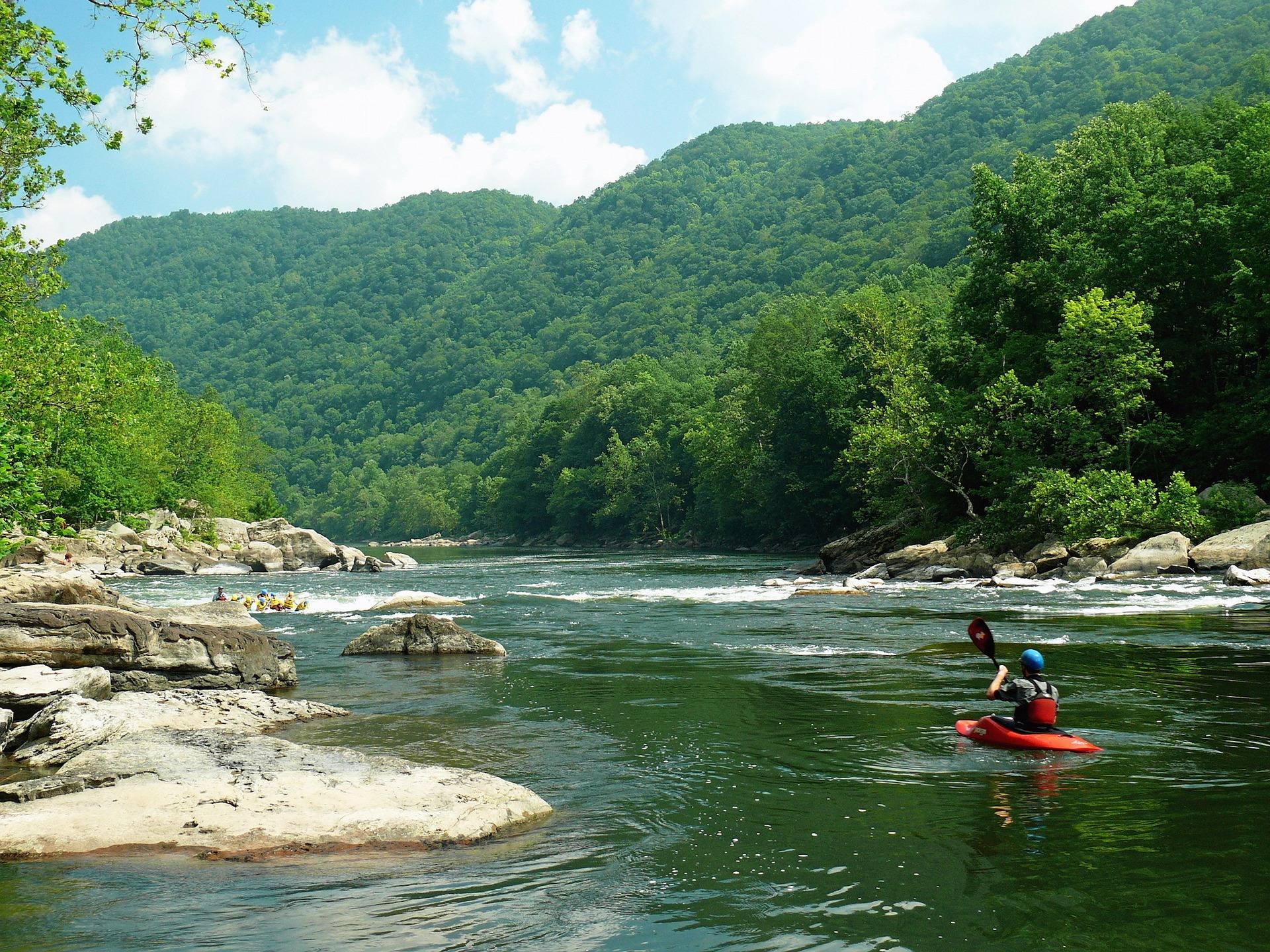
The commercial rafting heart of West Virginia: Class III–IV big-volume water through the deepest part of the gorge, with named rapids including Surprise, Upper and Lower Railroad, Double Z, Greyhound and Fayette Station under the bridge. Warm, forgiving and enormous fun at summer levels; serious at spring flows.
Know before you go
- The Upper New above Thurmond is Class I–III family water
- Fayette Station Rapid is the final drop, directly beneath the bridge
- Summer water temperatures make swim consequences much lower than on the Gauley
What you can do here
This is the commercial heart of West Virginia rafting: Class III-IV big-volume water through the deepest part of the gorge, finishing at Fayette Station Rapid directly beneath the bridge. Summer water is warm, which makes the consequences of a swim much lower than on the Gauley. Spring flows turn it serious. The Upper New above Thurmond is Class I-III family water.
Local organizations
Big-volume Class III-IV with a rapid list people know by name — Surprise, Upper and Lower Railroad, Double Z, Greyhound, Fayette Station — through the gorge's deepest section. Character swings hard with level: forgiving at summer flows, serious in spring. Warm summer water makes a swim far less costly here than on the Gauley.
Local organizations
Whitewater Kayaking across West Virginia →Big, warm river water, which in West Virginia points to smallmouth. Access and current are the constraints: this is Class III-IV rafting water at the bottom of the deepest part of the gorge, so most of the fishing happens from a boat, or upstream on the calmer Upper New above Thurmond. WVDNR sets licensing and regulations.
Local organizations
Summer water temperature is the point here — the river runs warm enough through July and August that people are in it, and warm enough that going in is less consequential than on the Gauley. That is not the same as safe: this is Class III-IV current. Stay in pools and eddies well off the main flow.
Guides, gear and lodging near Lower New River
Place-level placement for operators within range of this trailhead, put-in or crag.
List your business hereNearby in the New River Gorge
New River Gorge Bridge
A 3,030-foot steel arch carrying US 19 some 876 feet above the New River — for decades the longest single-span arch bridge in the world, and still the image most people carry of West Virginia.
Endless Wall Trail
A 2.4-mile point-to-point trail along the gorge rim through hemlock and rhododendron, crossing Fern Creek on a footbridge and reaching Diamond Point, an exposed rock outcrop with a view up the gorge to the bridge.
Long Point Trail
About 3.2 miles round trip on mostly level old roadbed to a rock promontory below the rim, which provides the most-photographed view of the New River Gorge Bridge.
Grandview
1,400 feet above a horseshoe bend in the New, with a seven-mile view up the gorge — the widest perspective anywhere in the park.
Sandstone Falls
The largest waterfall on the New River — not tall, but 1,500 feet wide, spilling across the full breadth of the river between islands at the point where the gorge begins to open.
Kaymoor Miners Trail
A steep descent from the gorge rim to the ruins of the Kaymoor One coal mine and processing plant, including 821 wooden steps down the former haulage incline.
West Virginia has roughly 1.5 million acres of public land and a handful of places that carry almost all of the attention. The consequence is that a great deal of very good ground sits nearly empty, usually for one of three reasons: nobody has heard of it, the road in is gated or rough, or it is undeveloped and has nothing to advertise. Those are the places below — of them across regions.