
Every organization we link to: local tourism offices, the state and federal agencies that manage the land, the nonprofits and clubs that keep access open, and the universities doing the research.
Cheat Canyon
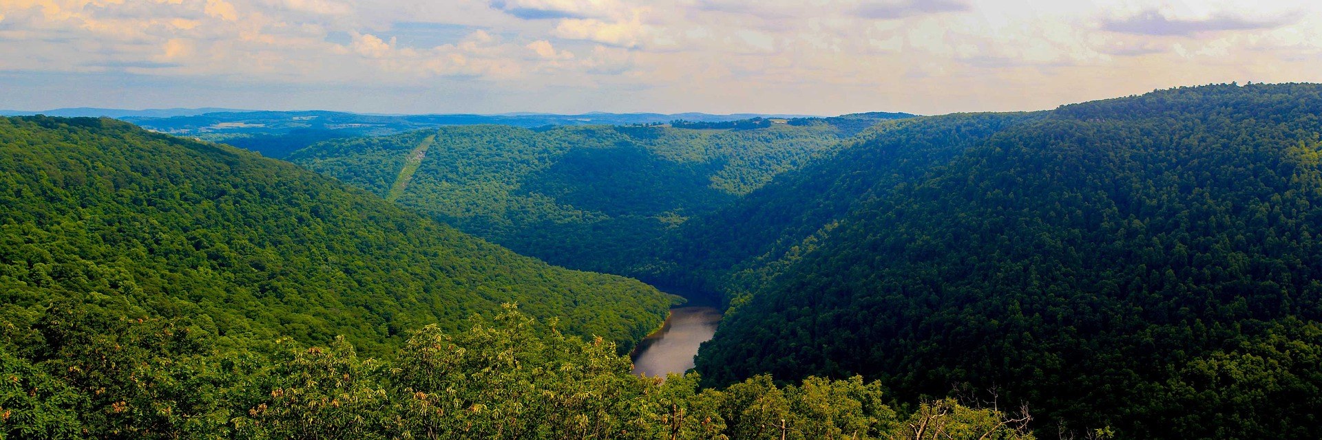
One of the classic big-water runs of the East: roughly 11 miles of Class IV–V through a remote gorge below Albright, with named rapids including Big Nasty, Coliseum and Pete Morgan. Entirely rain and snowmelt dependent, which means a short and unpredictable season peaking in spring. The river's recovery from decades of acid mine drainage, driven largely by Friends of the Cheat, is one of the great restoration stories in Appalachia.
Know before you go
- Watch the Albright river level, since the run changes character dramatically with flow
- Commercial trips run in spring when flows cooperate
- The Cheat Narrows above the canyon offers much easier Class II–III water
- Cheat Fest each spring is the river community's annual gathering
What you can do here
Eleven miles of Class IV-V through a remote gorge below Albright, with Big Nasty, Coliseum and Pete Morgan among the named rapids. There is no dam release — it runs on rain and snowmelt, so the season is short, unpredictable and peaks in spring. Watch the Albright gauge, because the run changes character dramatically with flow.
Local organizations
Commercial trips run in spring, when flows cooperate, and that is essentially the window: this is a rain-fed river with no release to count on. At high water the eleven miles read Class IV-V through a gorge you do not walk out of easily. The Cheat Narrows above the canyon is much easier Class II-III.
The river's recovery from decades of acid mine drainage, driven largely by Friends of the Cheat, is what makes fishing here a subject at all. The canyon itself is eleven remote miles of Class IV-V, so getting on it is a boating problem before it is an angling one. The Narrows upstream is far easier water to work.
Friends of the Cheat drove the cleanup that brought this river back from acid mine drainage, and that work is ongoing rather than finished. Cheat Fest each spring is the river community's annual gathering and the most direct way to meet the people doing it. Ask the group what they need in the season you are around.
Local organizations
Guides, gear and lodging near Cheat Canyon
Place-level placement for operators within range of this trailhead, put-in or crag.
List your business hereNearby in the Mountaineer Country
Coopers Rock State Forest
A 12,747-acre state forest above the Cheat River Canyon.
Mon River Rail-Trail System
About 48 miles of connected crushed-limestone rail-trail through Morgantown: the Caperton Trail along the riverfront downtown, the Mon River Trail running north to the Pennsylvania line and south toward Prickett's Fort, and the Deckers Creek Trail climbing 19 miles east to Reedsville.
Mountaineer Trail Network Recreation Area
Purpose-built modern singletrack in Preston County, the anchor project of a regional effort to link northern West Virginia into a single mountain bike destination.
Big Bear Lake Trail Center
A long-established private trail center in Preston County with dozens of miles of cross-country singletrack and doubletrack around a lake, plus camping.
Cathedral State Park
133 acres of virgin eastern hemlock, the last substantial stand of old-growth mixed forest remaining in West Virginia.
Valley Falls State Park
A series of ledge drops on the Tygart Valley River near Fairmont, popular with photographers, picnickers and — at the right levels — playboaters.
West Virginia has roughly 1.5 million acres of public land and a handful of places that carry almost all of the attention. The consequence is that a great deal of very good ground sits nearly empty, usually for one of three reasons: nobody has heard of it, the road in is gated or rough, or it is undeveloped and has nothing to advertise. Those are the places below — of them across regions.